Parking
Start at the Te Kere Haka Reserve car park at the far end of Kingston, past the railway station. The car park’s size, fee and facilities were not verified.
Queenstown-Lakes District, New Zealand, OT
An easy lakeshore walk to a waterfall with Lake Wakatipu views
Overview
Map & elevation
Plan your hike

The highest, rockiest slopes around here are a summer buffet for grizzly bears.
Queenstown-Lakes District Tour Guide
Parkwolf is a GPS audio tour guide for Queenstown-Lakes District, New Zealand. As you drive, it chimes in with what’s ahead: hidden gems, upcoming stops, history, geology, and wildlife, right through your car’s speakers.
See the Queenstown-Lakes District audio tourRecorded for this trailhead
Te Kere Haka and Shirt Tail Tracks“Up ahead is Te Kere Haka Reserve, where I'd choose the foreshore track for an easier walk from Kingston.”
Plays as you drive up to this trailhead in the Parkwolf Queenstown-Lakes District Tour Guide.
More stories near here in the app
“Fantastic app with many points of information… It’s great to just turn on while you’re driving and it gives you an audio tour of the national Park. We love it!!!!”


Trail guide
Te Kere Haka is a roughly 3.7 km round-trip walk from Te Kere Haka Reserve car park to a small waterfall and back. Allow about 1–1½ hours. It is a good Kingston leg-stretcher when you want a destination without a long or steep climb.
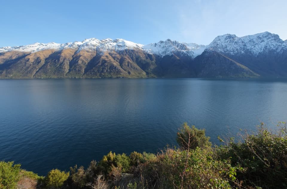
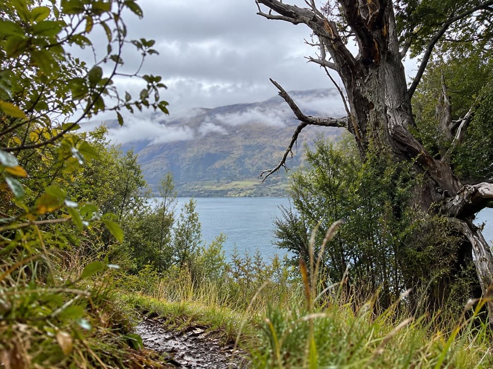
The path heads north beside Lake Wakatipu through bush and woodland, rolling over small bluffs and spurs at the hillside’s foot. Expect stream crossings and wet, muddy patches; after rain, the track can be muddier. Much of the walk is shaded, so lake and Hector Mountains views come through gaps rather than staying open the whole way.
The small waterfall is the turnaround. A few small beaches sit below the track, but reaching them means scrambling down; the water is cold. Keep to the main track if you want an easy walk—those beach scrambles add a rougher detour.
Begin at Te Kere Haka Reserve car park at the far end of Kingston, past the railway station. The first 30 minutes of the track are within the reserve, where dogs can walk on a lead. The full route leaves the reserve; beyond its boundary, DOC’s conservation-land rules require permission for pets. If you’re with a dog, turn back before leaving the reserve.
Wildlife
 194 sightingsKeaMost seen around 5 PMSighting map
 18 sightingsKākāMost seen around 6 PMSighting map
 198 sightingsKererūMost seen around 10 AMSighting map
 53 sightingsWekaMost seen around 6 PMSighting map
 245 sightingsTūīMost seen around 8 AMSighting map
 98 sightingsBellbirdMost seen around 6 AMSighting map
Sighting maps show where each species has been reported across Queenstown-Lakes District. Wildlife moves, so no sighting is guaranteed.
Keep exploring
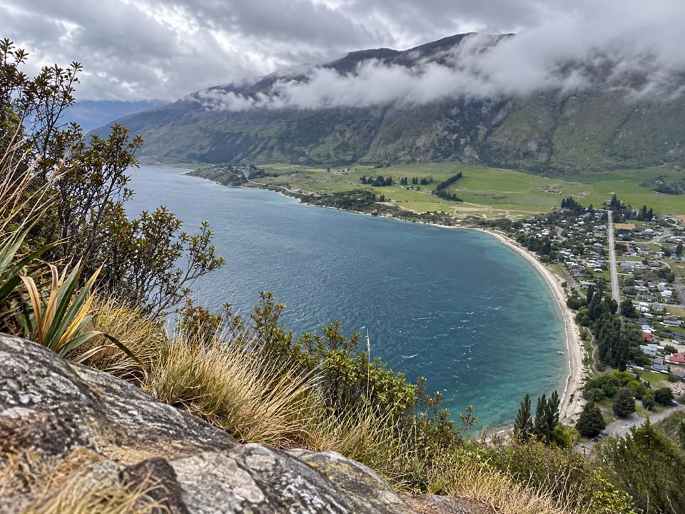 ChallengingShirt Tail Track1.6 km · 1.8 hr · At the trailheadA steep stream climb pays off with Lake Wakatipu above Kingston.
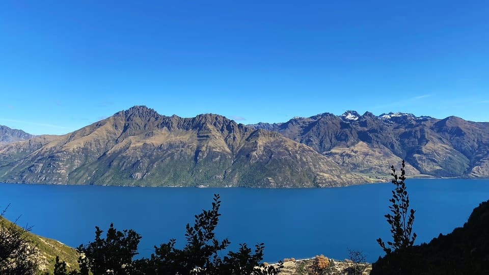 ChallengingLower Wye Creek Track6.7 km · 4 hr · 21.5 km awayA steep pipeline climb ends in a quiet beech-lined basin.
Parkwolf’s Queenstown-Lakes District ranking

The audio tour guide for the drive, plus offline maps, trails, and wildlife heatmaps for when the signal drops.