Parking
Start at the Wye Creek access gate beside Wye Creek Bridge on SH6, about 20 minutes south of Queenstown. The small pull-in just inside the gate fits only a handful of cars; take care entering and leaving the busy highway.
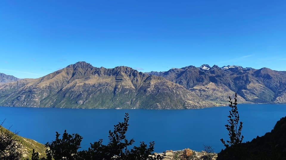
Queenstown-Lakes District, New Zealand, OT
A steep pipeline climb ends in a quiet beech-lined basin.
Photo: Hannah Hide / Department of Conservation (NZ), CC BY 4.0; source: Department of Conservation (NZ)
Overview
Map & elevation
Plan your hike

The highest, rockiest slopes around here are a summer buffet for grizzly bears.
Queenstown-Lakes District Tour Guide
Parkwolf is a GPS audio tour guide for Queenstown-Lakes District, New Zealand. As you drive, it chimes in with what’s ahead: hidden gems, upcoming stops, history, geology, and wildlife, right through your car’s speakers.
See the Queenstown-Lakes District audio tourRecorded for this trailhead
Lower Wye Creek Track Access“You're nearing the highway access for Lower Wye Creek Track, a steep climb with lake views followed by beech forest and an open mountain basin.”
Plays as you drive up to this trailhead in the Parkwolf Queenstown-Lakes District Tour Guide.
More stories near here in the app
“Fantastic app with many points of information… It’s great to just turn on while you’re driving and it gives you an audio tour of the national Park. We love it!!!!”


Trail guide
Lower Wye Creek Track is a 6.7 km return out-and-back from Wye Creek Bridge to the stream in the open Lower Wye Creek basin. Allow about four hours and nearly 600 m of climbing. It suits hikers ready for a sustained uphill walk and a high-country finish.
The route begins on a rough 4WD track that zigzags uphill to a fence and stile. Beyond it the path narrows and steepens over rocks and roots, passing under a rocky bluff before reaching the water pipeline. At the junction, follow the marked track left toward the basin; the dam and pipeline spur leads to a separate helipad and waterfall walk. From here, a marked, benched track climbs through beech forest for about an hour and emerges beside the stream. Turn around in the basin and retrace your route.
Views back over Lake Whakatipu open on the climb, with a clearing that makes a good place to frame the lake beneath the ridgeline. The contrast is the payoff: a hard climb through steep rocky country gives way to a quiet, open basin with the creek at its edge.
The access is beside Wye Creek Bridge on SH6, about 20 minutes south of Queenstown, with room for only a handful of cars just inside the gate. Take care turning in and out of the busy highway. This high-altitude walk is suited to summer; snow can linger and weather can change quickly. Wet roots are slippery on the descent. The route crosses private land, so stay on the marked track and leave gates as you find them. Dogs are not allowed.
Wildlife
 194 sightingsKeaMost seen around 5 PMSighting map
 18 sightingsKākāMost seen around 6 PMSighting map
 198 sightingsKererūMost seen around 10 AMSighting map
 53 sightingsWekaMost seen around 6 PMSighting map
 245 sightingsTūīMost seen around 8 AMSighting map
 98 sightingsBellbirdMost seen around 6 AMSighting map
Sighting maps show where each species has been reported across Queenstown-Lakes District. Wildlife moves, so no sighting is guaranteed.
Keep exploring
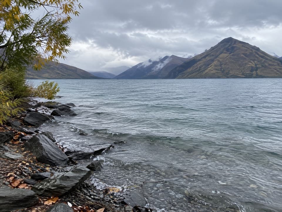 EasyDrift Bay Walking Track5 km · 1.3 hr · 6.1 km awayA shore walk to Oraka’s jetty and Upper Drift Bay.
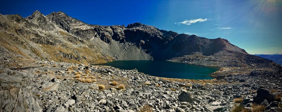 ModerateLake Alta Track3.3 km · 1.5 hr · 10.1 km awayA short alpine climb to a lake tucked beneath jagged peaks.
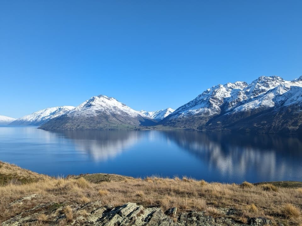 ModerateJacks Point Trail6.3 km · 2 hr · 12 km awayFollow the lakeshore from Jardine Park to Jack’s Point.
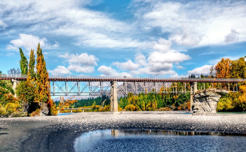 ModerateTwin Rivers Trail18.5 km · 4.5 hr · 12.7 km awayAn 18.5 km river traverse crosses a restored 1871 bridge.
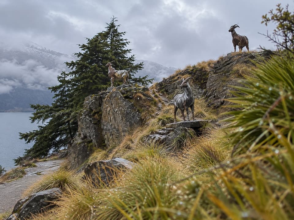 EasyKelvin Peninsula Sculpture Trail3.5 km · 1 hr · 12.8 km awayA gentle peninsula loop linking four sculptures and lake views.
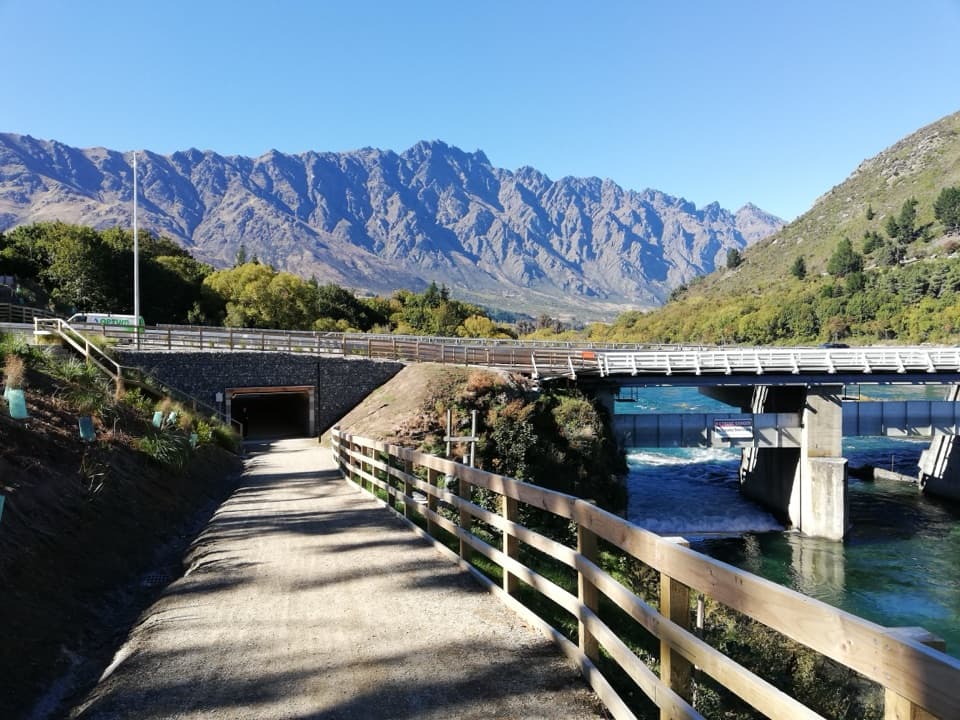 EasyKelvin Heights Trail9.3 km · 1.8 hr · 12.9 km awayFrankton Arm views on a long, easy shore-to-park walk.
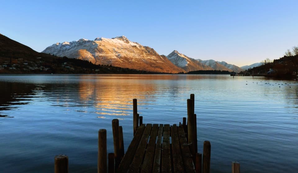 EasyFrankton Track8.5 km · 1.8 hr · 14.4 km awayFollow Frankton Arm from garden paths to the Kawarau Falls Bridge.
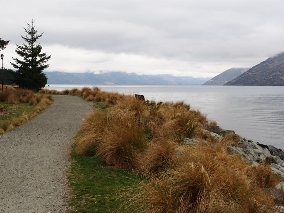 EasyQueenstown Gardens Loop Walk2 km · 40 min · 14.5 km awayA lake-edge loop past the rose garden, with mountain views.
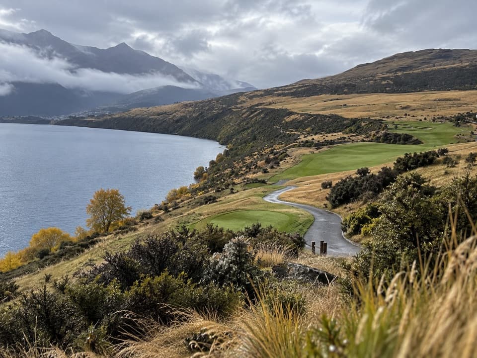 Sight · 7.3 km awayJack’s Point Golf CourseChampionship golf above Lake Wakatipu, beneath the Remarkables.Sight · 8.9 km awayLake AltaA high alpine lake beneath Double Cone, reached by a steep climb.
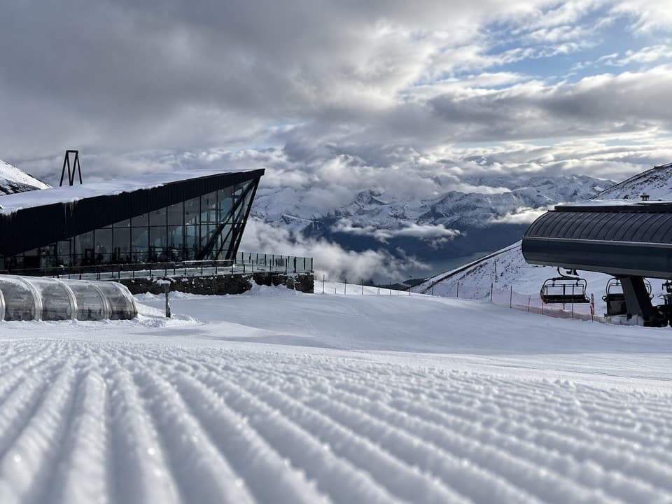 Sight · 10.1 km awayThe Remarkables Ski AreaA proper mountain day, from snowplay and lessons to steep chutes.
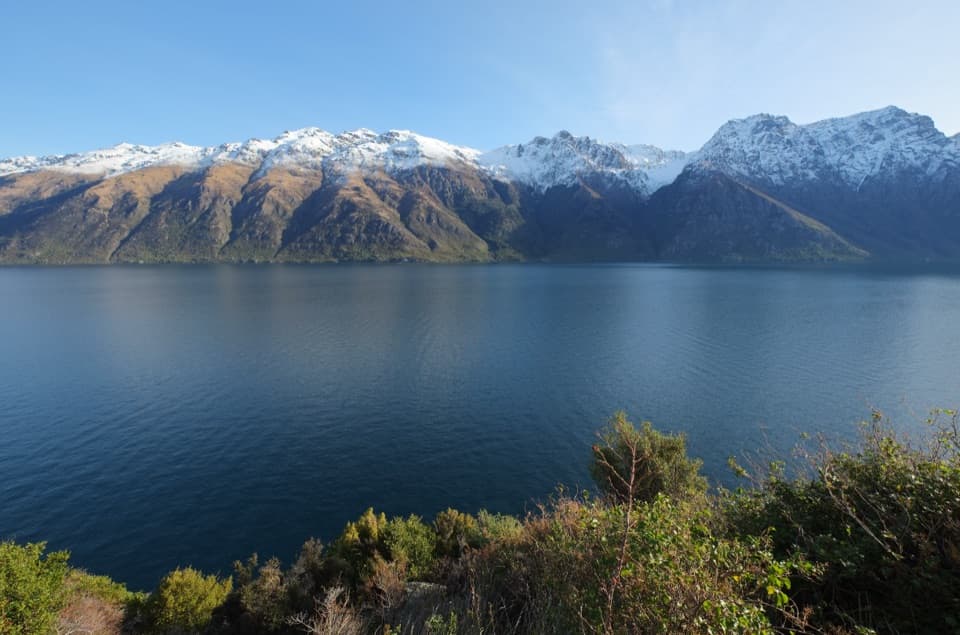 Scenic pullout · 12.1 km awayDevil’s Staircase LookoutA lake panorama above an old route perilous for horses.
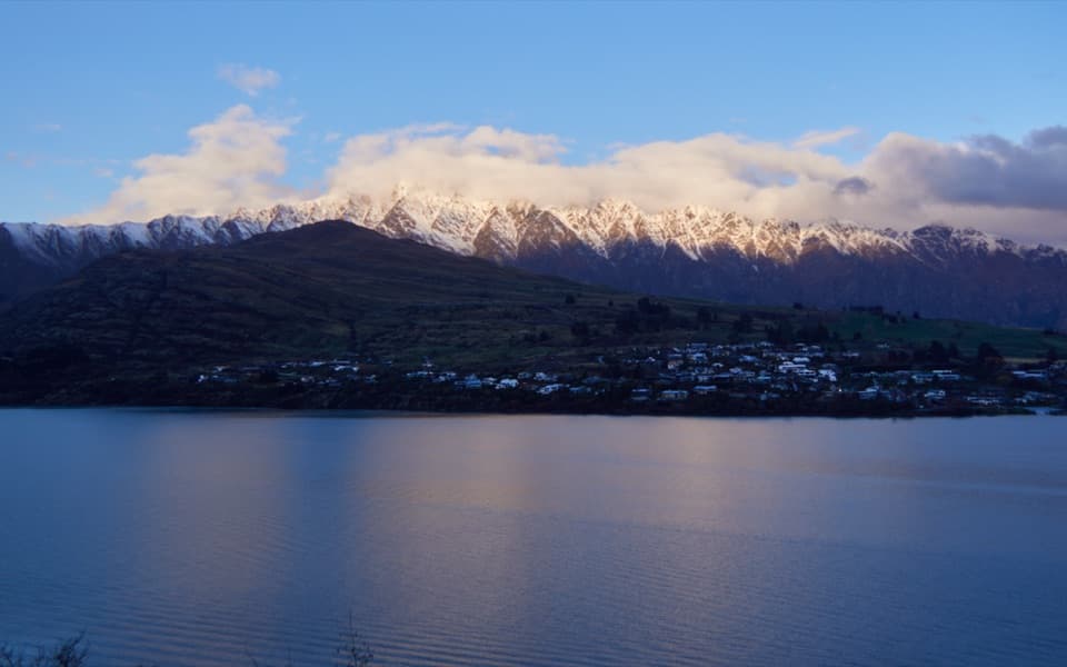 Sight · 12.5 km awayDeer Park HeightsA self-drive farm with animals, film sites, and Queenstown views.
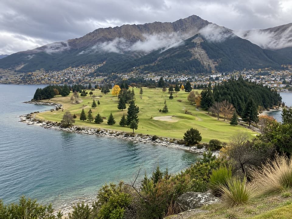 Sight · 13.3 km awayQueenstown Golf ClubA golf round with Lake Wakatipu on three sides.
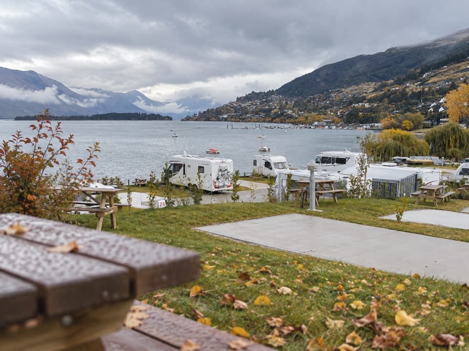 Campground · 13.9 km awayDriftaway Queenstown Holiday ParkA lakefront base with camping, cabins and a mountain backdrop.
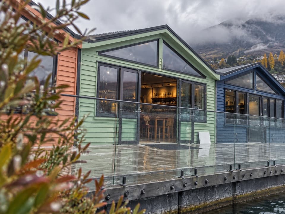 Store · 14 km awayWet Jacket WinesA hosted tasting with Lake Whakatipu and Remarkables views
Parkwolf’s Queenstown-Lakes District ranking

The audio tour guide for the drive, plus offline maps, trails, and wildlife heatmaps for when the signal drops.





