Gold Bluffs Beach Campground in Redwood National Park

Campground · Redwood National Park

Gold Bluffs Beach Campground

Sleep beside the Pacific, with Fern Canyon up the road.

Photo: National Park Service
Type
Campground
Nearest trail
1.2 mi
Audio stories
3 nearby
  • Restrooms
  • Parking
  • Picnic tables

Hear the audio tour

Gold Bluffs Beach

Overview

About Gold Bluffs Beach Campground

Why stop

  • The beach is an easy walk from the campsites.
  • Roosevelt elk sometimes graze around camp.

Heads up

  • Open sites offer little shelter from wind and fog.
  • Davison Road is rough, and trailers are prohibited.
In 1850, prospectors reported fine gold in the beach sand. Surf wore gold-bearing rock from the bluffs, and waves sometimes uncovered tiny grains; miners rushed in, but the fine gold was hard to separate from the sand. Later schemes included a submarine-mining company in 1873. Large-scale efforts failed, leaving the name as a reminder of a short-lived gold rush.
Parkwolf’s verdictWhy it’s called Gold Bluffs

Map

Where it is

Loading the Redwood map
Full map
CampgroundGold Bluffs Beach Campground41.38430, -124.06945
Keep this map with you offline in the Parkwolf app

Plan your stop

Before you go

6 active Redwood alerts

  • CautionU.S. 101 construction traffic controlsExpect construction-related traffic stops and one-way controlled traffic on U.S. 101; allow extra time and drive cautiously. - NPS reports multiple stops between Orick and Crescent City; delays vary.Official details
  • CautionU.S. 199 construction traffic controlsExpect 24/7 one-way controlled traffic on three U.S. 199 segments because of construction. - 6–6.2 miles north of Gasquet: through 6:00 p.m. December 15, 2026; delays up to 10 minutes. - 9.6–9.Official details

See all 6 alerts
A park ranger sits on a dash-mounted phone, talking, as Parkwolf’s Tour Guide plays “Army Cutworm Moths: A Grizzly Bear Buffet” on Grand Loop Road below Dunraven Pass in Yellowstone
Parkwolf Tour GuideThe highest, rockiest slopes around here are a summer buffet for grizzly bears.

Redwood Tour Guide

Your drive to Gold Bluffs Beach Campground, narrated.

Parkwolf is a GPS audio tour guide for Redwood National Park. As you drive, it chimes in with what’s ahead: hidden gems, upcoming stops, history, geology, and wildlife, right through your car’s speakers.

See the Redwood audio tour

Recorded for this place

Gold Bluffs Beach
0:00 / 0:34
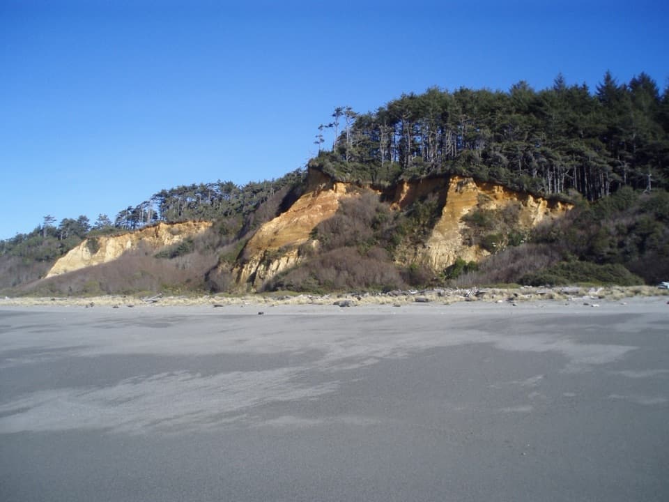
“You're nearing Gold Bluffs Beach, where gray sand stretches beneath orange bluffs and coastal forest. Stop for a beach walk or a picnic if you want open coast after the redwoods.”

Plays as you drive up to Gold Bluffs Beach Campground in the Parkwolf Redwood Tour Guide.

More stories near here in the app

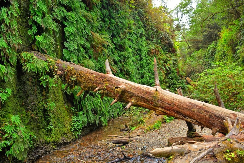
  • Fern Canyon
  • The Freeway That Missed the Beach
  • A New Set of Antlers
  • Rhododendron Trail North
  • 85 audio storiesacross Redwood’s roads, triggered by GPS as you drive
  • Wildlife heatmapsfor Black Bear, Elk, California Condor, and 13 more
  • Works offlinemaps, 83 trails, 48 places, and audio download before you lose signal
  • CarPlay readysimple controls built for the drive
★★★★★
“Fantastic app with many points of information… It’s great to just turn on while you’re driving and it gives you an audio tour of the national Park. We love it!!!!”
JMJamesApp Store review
Download Parkwolf on the App StoreGet Parkwolf on Google Play

4.7 from 8,600+ ratings

Guide

More about Gold Bluffs Beach Campground

Camp beside the surfGold Bluffs Beach Campground has 26 sites on an open, grassy strip beside Gold Bluffs Beach,…

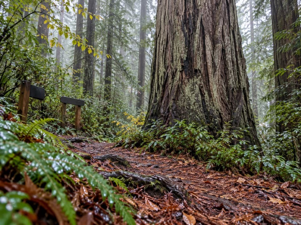
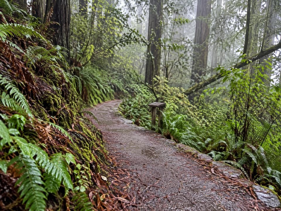
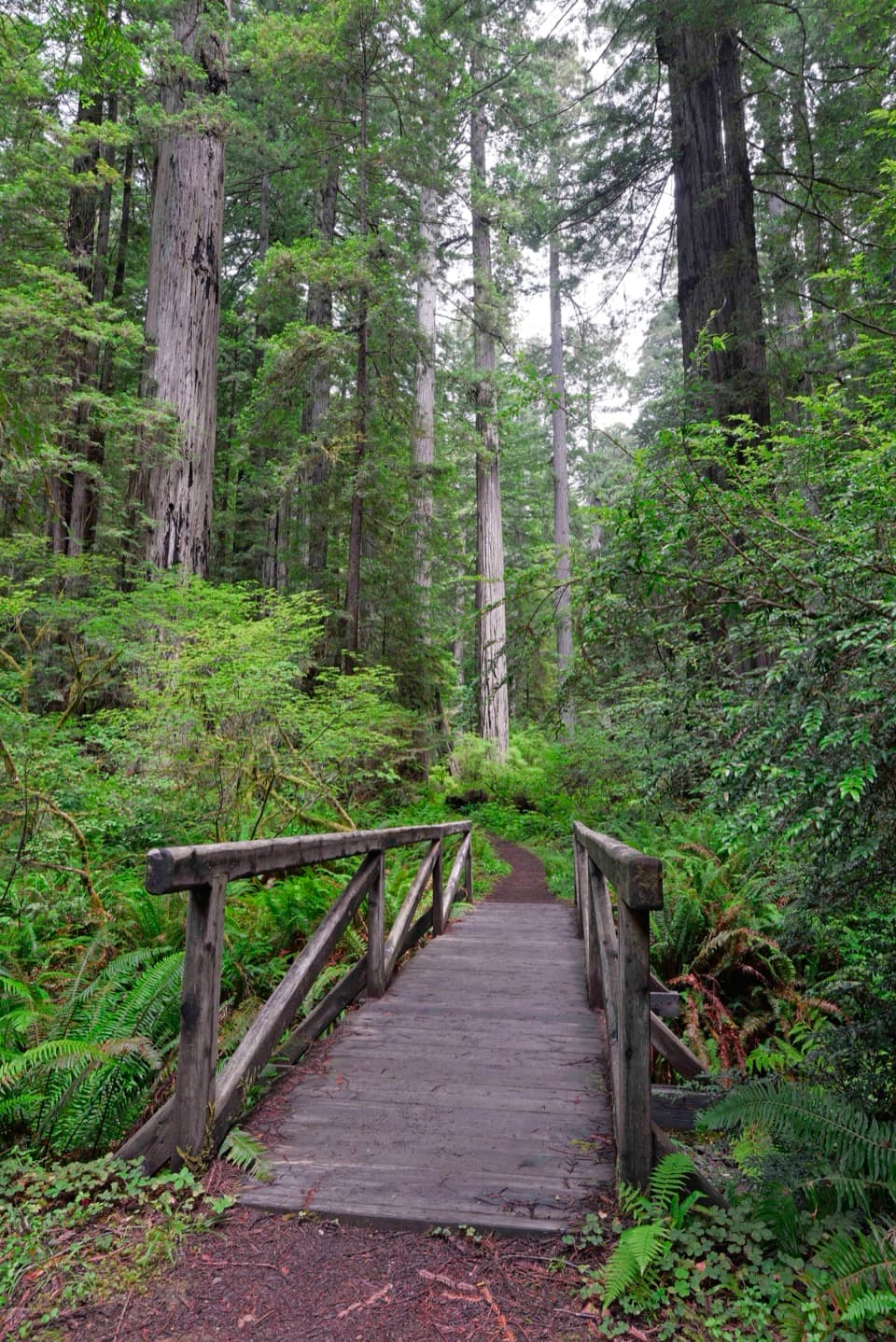
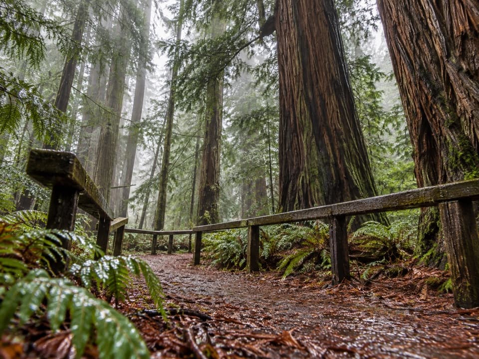
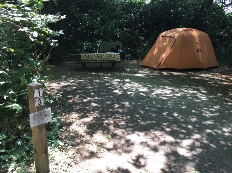
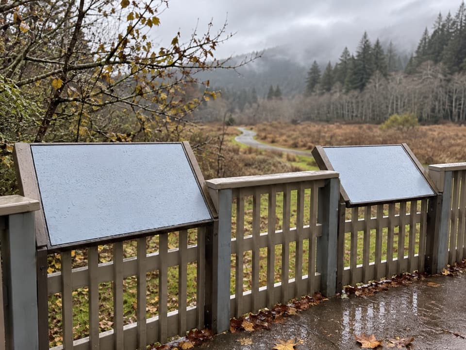
Gold Bluffs Beach Campground has 26 sites on an open, grassy strip beside Gold Bluffs Beach, with forested bluffs behind it. Choose it for a night by the Pacific: the beach is a short walk away, and Fern Canyon and nearby trails make this a useful base. This feels very different from a shaded redwood campground. Some sites are close to the shore, but a low rise blocks a full ocean view from others.

Plan for the roadDavison Road branches off Highway 101 north of Orick and continues as a narrow, single-lane…

Davison Road branches off Highway 101 north of Orick and continues as a narrow, single-lane dirt-and-gravel road. It can be rough, especially after rain, and winter conditions can limit access. Trailers are prohibited; RVs up to 24 feet are allowed but aren’t recommended. Check current road conditions and reservation availability before heading in, since site availability changes through the year.

Pack for an exposed siteThese campsites sit in open dune grass with little shelter from fog and strong wind.

These campsites sit in open dune grass with little shelter from fog and strong wind. You’ll find flush toilets, showers, drinking water, food lockers, picnic tables and fire rings, but there are no utility hookups, camp store or ice sales. Bring your food with you and use the lockers.

Roosevelt elk are neighborsRoosevelt elk sometimes graze in the grass around camp.

Roosevelt elk sometimes graze in the grass around camp. They’re a memorable part of the setting, but a sighting isn’t guaranteed.

Wildlife

Wildlife in Redwood

All Redwood wildlife maps

Sighting maps show where each species has been reported across Redwood. Wildlife moves, so no sighting is guaranteed.

Keep exploring

Near Gold Bluffs Beach Campground

See it all on the map

Trails nearby

More stops nearby

Parkwolf’s Redwood ranking

Top sights in Redwood

All 48 places
  1. 1Fern CanyonSight
  2. 2Stout Memorial GroveSight
  3. 3Big Tree WaysideSight
  4. 4Lady Bird Johnson GroveSight
  5. 5Grove of TitansSight
  6. 6Tall Trees GroveSight

Take Parkwolf to Redwood.

The audio tour guide for the drive, plus offline maps, trails, and wildlife heatmaps for when the signal drops.

4.7 from 8,600+ ratings

Download Parkwolf on the App StoreGet Parkwolf on Google Play