Parking
Use the signed Brown Creek pullout on Newton B. Drury Scenic Parkway. Parking is limited; follow the marked access toward South Fork and Brown Creek.
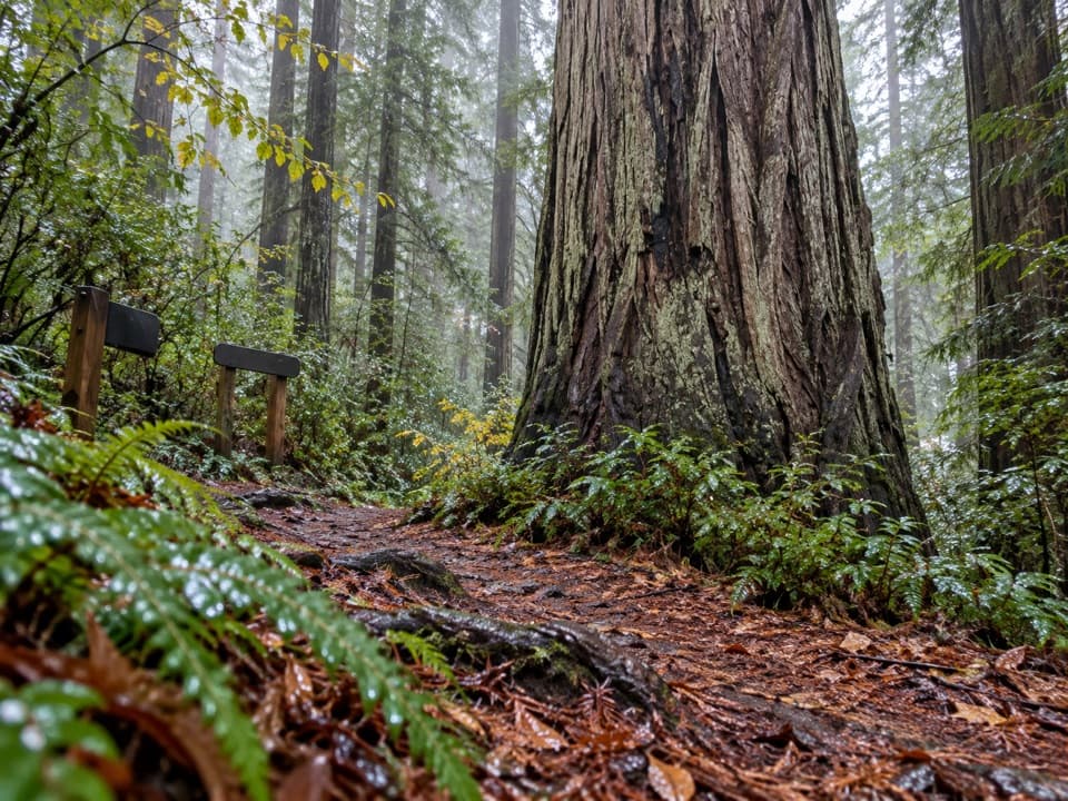
Redwood National Park, CA
A quiet creek walk under towering redwoods.
Overview
Map & elevation
Plan your hike

The highest, rockiest slopes around here are a summer buffet for grizzly bears.
Redwood Tour Guide
Parkwolf is a GPS audio tour guide for Redwood National Park. As you drive, it chimes in with what’s ahead: hidden gems, upcoming stops, history, geology, and wildlife, right through your car’s speakers.
See the Redwood audio tourRecorded for this trailhead
Brown Creek Trail“The Brown Creek trailhead is coming up, a good choice for a creekside redwood walk without a steep ridge climb. The two-and-a-half-mile out-and-back takes about an hour to an hour and a half, with modest, uneven grades.”
Plays as you drive up to this trailhead in the Parkwolf Redwood Tour Guide.
More stories near here in the app
“Fantastic app with many points of information… It’s great to just turn on while you’re driving and it gives you an audio tour of the national Park. We love it!!!!”


Trail guide
Brown Creek Trail is a 2.5-mile round-trip out-and-back from the signed pullout on Newton B. Drury Scenic Parkway. Follow the short marked South Fork access to the Brown Creek footpath, continue to the Rhododendron Trail junction, then retrace your steps. Allow about 1 to 1.5 hours. The one-way route climbs roughly 170 feet from the road; the grades are uneven but not steep. Come for a close walk beside a forest stream and among old-growth redwoods.
The access leaves the parkway beneath large redwoods, on a broad path carpeted with needles. Brown Creek Trail follows the water through a shaded grove; the trees grow larger along the creek, and ferns and redwood sorrel cover much of the forest floor. The footing stays on natural dirt and needles. Turn around at the Rhododendron junction to keep to this route.
This walk makes it easy to notice the change from streamside vegetation to old-growth redwood and Douglas-fir forest. Brown Creek feeds Prairie Creek, whose waters provide habitat for native salmon and trout. Some redwood trunks have paler downstream sides than upstream sides, a subtle detail to look for as you pass.
Brown Creek Trail connects South Fork and Rhododendron. If you continue on those trails instead of turning back, you are taking the longer Brown Creek Loop, about 3.4 to 3.5 miles depending on the route map. It adds steeper hillside sections and more varied forest; the short out-and-back keeps the focus on the creek.
Parking at the signed Brown Creek pullout is limited. Pets are prohibited on park trails; service animals are allowed.
Wildlife
 256 sightingsBlack BearMost seen around 7 PMSighting map
 2,389 sightingsElkMost seen around 6 PMSighting map
 62 sightingsCalifornia CondorMost seen around 1 PMSighting map
 60 sightingsCalifornia Sea LionMost seen around 11 AMSighting map
 216 sightingsHarbor SealMost seen around 10 AMSighting map
 13 sightingsMountain LionMost seen around 7 PMSighting map
Sighting maps show where each species has been reported across Redwood. Wildlife moves, so no sighting is guaranteed.
Keep exploring
 ModerateWest Ridge and Rhododendron Loop7.5 mi · 5.5 hr · At the trailheadA long loop through redwoods, fern canyons, and mixed forest.
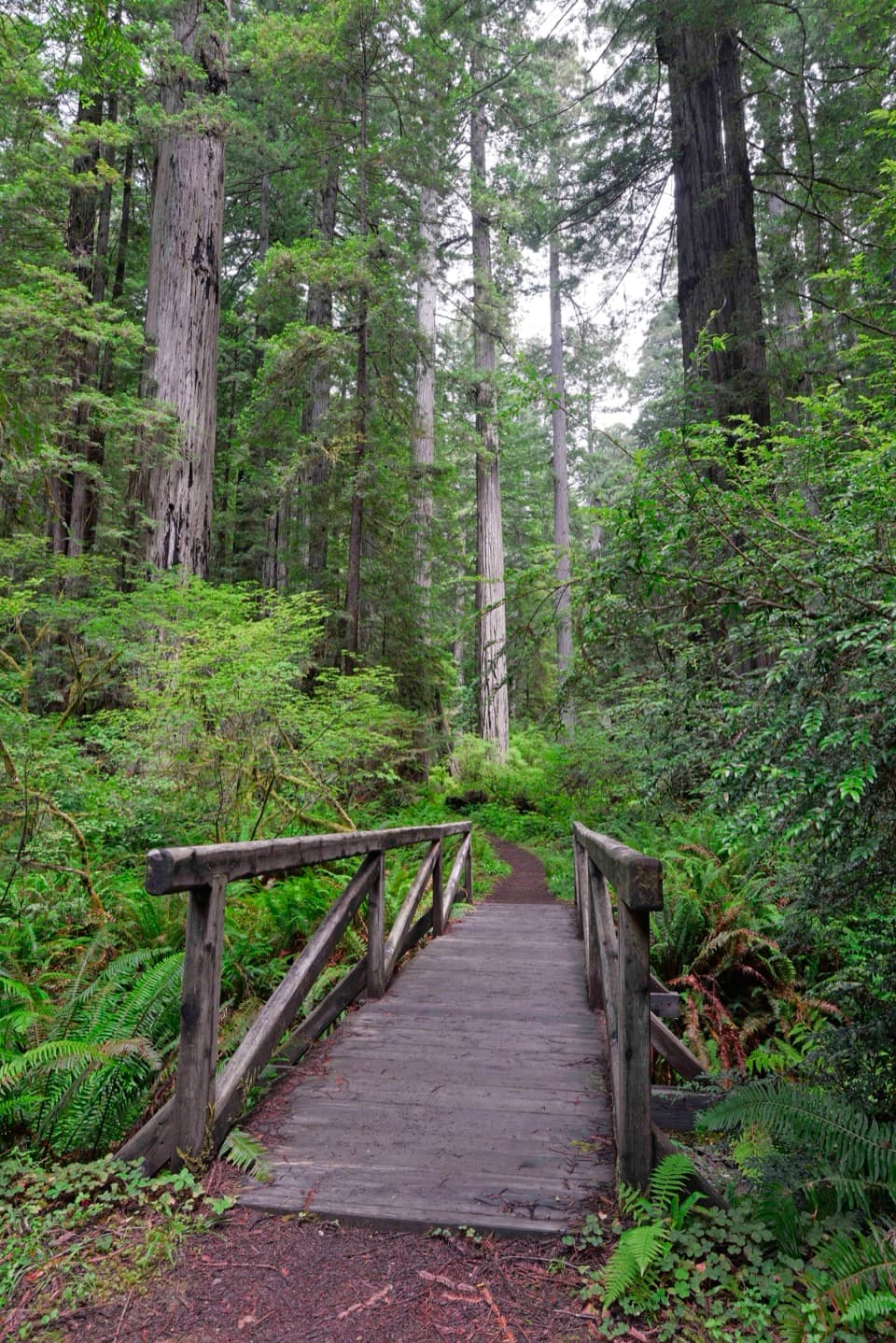 ModerateBrown Creek Loop3.4 mi · 2.5 hr · At the trailheadA creekside redwood loop with a steep climb and a wooden footbridge.
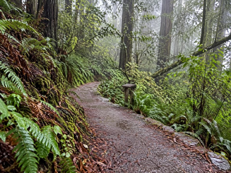 ModerateSouth Fork Trail1.8 mi · 1.5 hr · At the trailheadA short, steep ridge climb through old-growth redwoods.
 EasyCorkscrew Tree Trail0.2 mi · 10 min · 0.5 mi awayA short detour to a single redwood with many trunks.
 ModerateCathedral Trees Trail1.4 mi · 1 hr · 1 mi awayA short one-way walk among family groups of towering redwoods.
 EasyCircle Trail0.3 mi · 20 min · 1 mi awayA short, easy loop with a huge coast redwood at its heart.
 ModerateRhododendron Trail6.3 mi · 3.5 hr · 1.3 mi awayA long redwood walk bright with spring rhododendrons.
 ModerateFoothill Trail2.2 mi · 1.8 hr · 1.4 mi awayOld growth, Big Tree, and a long bridge over Corkscrew Creek.Sight · 0.5 mi awayCorkscrew TreeOne redwood, several trunks, and a remarkably twisted form.Sight · 1 mi awayBig Tree WaysideA 1,500-year-old redwood with a platform and short grove walks
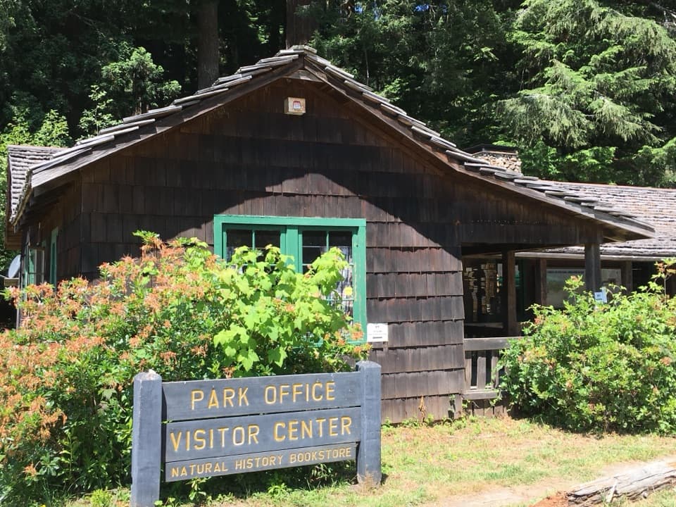 Visitor center · 1.7 mi awayPrairie Creek Visitor CenterA CCC cabin with redwood exhibits and trail advice.
 Picnic area · 2 mi awayElk Prairie Day Use AreaA picnic under old-growth redwoods at the prairie edge.
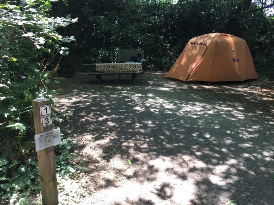 Campground · 2 mi awayElk Prairie CampgroundA leafy base near elk meadow and old-growth trails
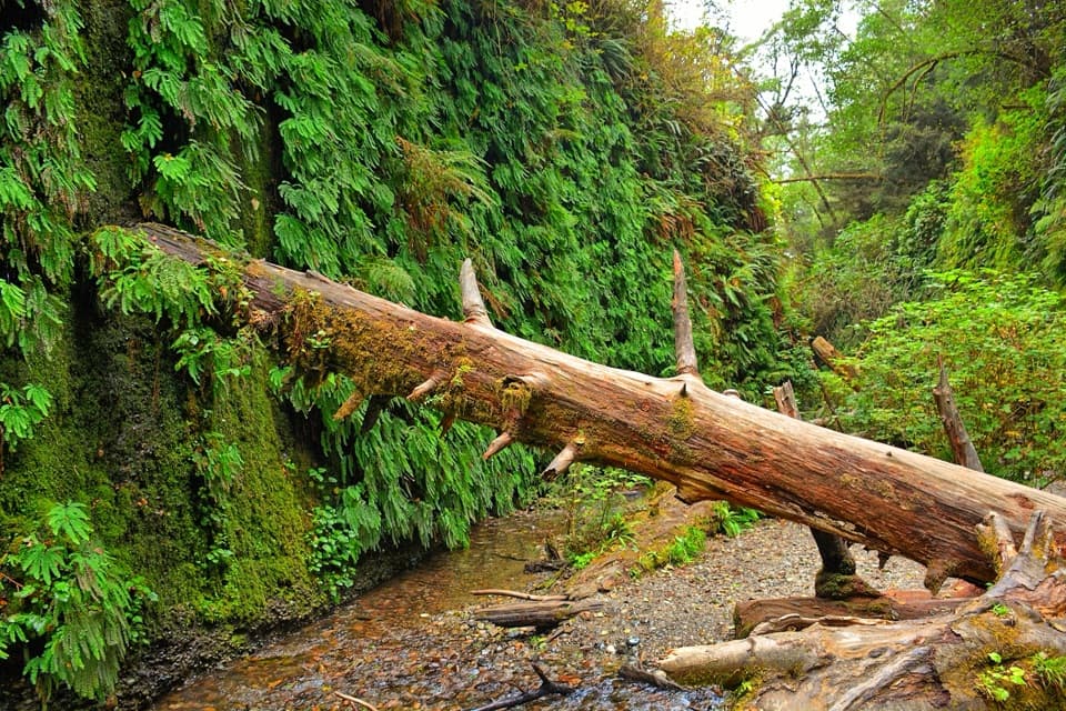 Sight · 2.6 mi awayFern CanyonA creek walk between steep walls draped in ferns.
 Campground · 2.7 mi awayGold Bluffs Beach CampgroundSleep beside the Pacific, with Fern Canyon up the road.
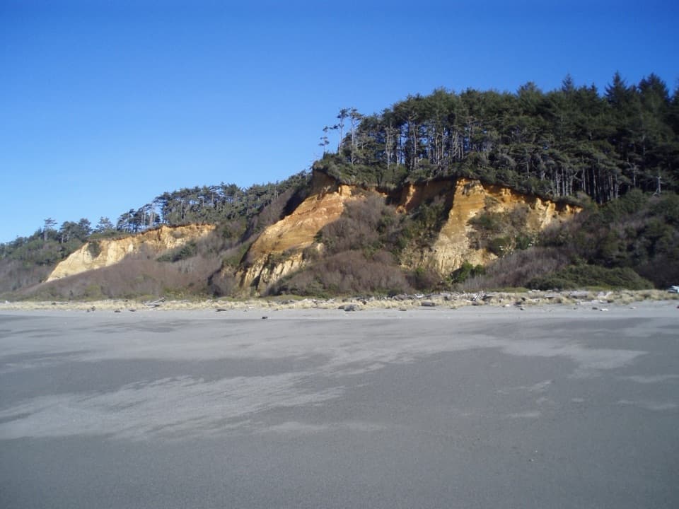 Beach · 2.8 mi awayGold Bluffs Beach Day Use AreaA long gray-sand beach below orange bluffs and coastal forest.
Parkwolf’s Redwood ranking

The audio tour guide for the drive, plus offline maps, trails, and wildlife heatmaps for when the signal drops.





