Parking
Start at Prairie Creek Visitor Center. Full-day spaces near the center may be limited; allow time to use designated parking along Newton B. Drury Scenic Parkway if needed.

#8 of 83 trails in Redwood
Redwood National Park, CA
Old-growth redwoods lead to fern cliffs and a shallow creek crossing.
Overview
Map & elevation
Plan your hike

The highest, rockiest slopes around here are a summer buffet for grizzly bears.
Redwood Tour Guide
Parkwolf is a GPS audio tour guide for Redwood National Park. As you drive, it chimes in with what’s ahead: hidden gems, upcoming stops, history, geology, and wildlife, right through your car’s speakers.
See the Redwood audio tourRecorded for this trailhead
Prairie Creek Visitor Center and Elk Prairie“You're coming up on Prairie Creek Visitor Center and Elk Prairie, a good stop for forest history and a chance to see Roosevelt elk grazing in the meadow.”
Plays as you drive up to this trailhead in the Parkwolf Redwood Tour Guide.
More stories near here in the app
“Fantastic app with many points of information… It’s great to just turn on while you’re driving and it gives you an audio tour of the national Park. We love it!!!!”


Trail guide
James Irvine is a long out-and-back from Prairie Creek Visitor Center to Fern Canyon and back, about 9.8 miles total. This mapped version follows roughly 4.9 miles of trail each way, then descends the short canyon connector and follows Fern Canyon Loop only to the first Home Creek crossing. The mileage you see elsewhere varies because people turn around at different points and sometimes mean a one-way distance. Plan around six hours. It is a shaded forest hike, but the total distance, steady climbing, roots and canyon stairs make it a substantial day outdoors.
Start at Prairie Creek Visitor Center and cross Prairie Creek on the trail bridge. The James Irvine branch comes soon after. Full-day parking close to the center can be limited; allow time to use designated spaces along Newton B. Drury Scenic Parkway if needed. Hiking to Fern Canyon from the visitor center does not require the separate vehicle reservation for the coastal road. If you drive Davison Road to Fern Canyon or Gold Bluffs Beach instead, a seasonal day-use reservation and fee apply from May 15 through September 15. Pets are not permitted on this trail; service animals are allowed. No food or drinking-water stop is confirmed along the route, so start supplied for a long walk.
The early miles are gentle, following the Nature Trail across the creek and then into the Godwood Creek drainage. The forest closes around the tread: coast redwoods rise above mossy trunks, Sitka spruce and hemlock, with ferns, salal and skunk cabbage in the damp ground layer. The first mile is mostly level, but exposed roots, corduroy bridges and a short boardwalk keep the walking varied. Several bridges cross the creeks; their wood can be slick after rain. Around the first quarter of the hike, a sturdy bridge crosses Godwood Creek, followed by more stream crossings as the route leaves the headwaters.
After the creek valley, the path climbs and rolls over a wooded high point, then descends toward the Clintonia junction and the upper Fern Canyon connection. Grades are mostly moderate, but the climb accumulates over a long walk. Near the canyon, the route drops more steeply on rough steps. The forest mix changes toward alder and other wet-ground plants. You pass small side ravines and bridges before the sound of water and the greener walls signal that Fern Canyon is close. A bridge and bench overlook one of the fern-lined ravines along the approach.
At the upper canyon access, take the stairway down and follow the short piece of Fern Canyon Loop to the first crossing of Home Creek. This is the mapped turn-around; pause by the shallow stream, then retrace the same trail to the visitor center. The canyon is the payoff: steep, fern-covered walls rise above gravel, fallen wood and the creek, and each bend changes the view. Expect damp footing and be prepared for wet shoes. Seasonal hiker bridges are only present in summer; heavy winter rain can flood the creek and make entering the canyon dangerous. Do not cross high or fast water. The longer loop onward to Gold Bluffs Beach and Miners Ridge is a different hike and is not included here.
Godwood Creek recalls early homesteader John Godwood, whose name follows this forested drainage. James Irvine II helped protect the Fern Canyon area, and the trail corridor was also a historic approach to the Gold Bluffs Beach mining camps. Miners worked the beach sands from the 1850s into the early twentieth century. Today, the walk moves through several coastal forest communities before reaching a narrow stream canyon; look for deer and sword ferns, salal, saxifrage and skunk cabbage beside the route. A varied thrush's clear whistle is sometimes heard in the redwoods, though wildlife sightings are never guaranteed.
Wildlife
 256 sightingsBlack BearMost seen around 7 PMSighting map
 2,389 sightingsElkMost seen around 6 PMSighting map
 62 sightingsCalifornia CondorMost seen around 1 PMSighting map
 60 sightingsCalifornia Sea LionMost seen around 11 AMSighting map
 216 sightingsHarbor SealMost seen around 10 AMSighting map
 13 sightingsMountain LionMost seen around 7 PMSighting map
Sighting maps show where each species has been reported across Redwood. Wildlife moves, so no sighting is guaranteed.
Keep exploring
 EasyKarl Knapp Trail2.4 mi · 1.5 hr · 0.1 mi awayA gentle creek walk with a tunnel through a fallen redwood.
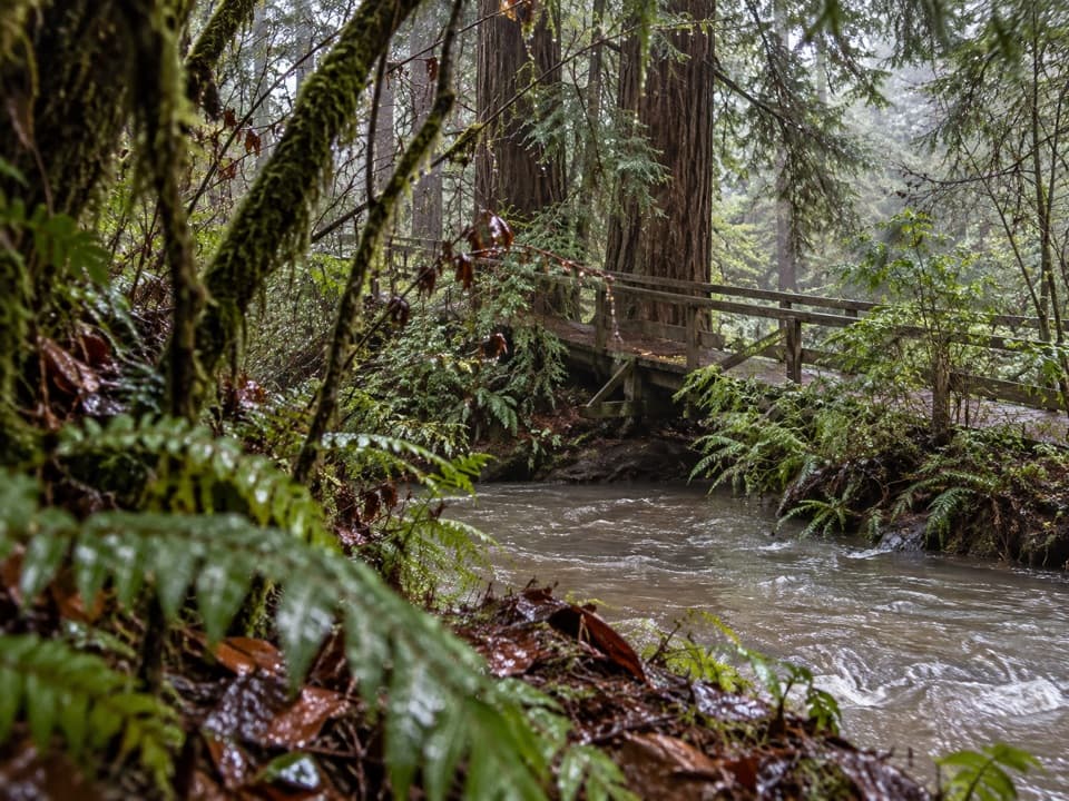 EasyElk Prairie Trail Loop2.8 mi · 2 hr · 0.1 mi awayA prairie-and-creek loop through redwoods with Roosevelt elk.ChallengingMiners Ridge and James Irvine Loop12 mi · 6 hr · 0.1 mi awayA long loop joining old-growth redwoods, Fern Canyon, and the coast.
 ModerateBig Tree Loop3 mi · 1.8 hr · 0.1 mi awayCreekside old growth leads to Big Tree and a rooty Cathedral return.
 ModerateClintonia Loop6.5 mi · 4 hr · 0.1 mi awayA 6.5-mile loop through redwoods, without the coast detour.
 ModerateMiners Ridge Trail4.1 mi · 2.5 hr · 0.1 mi awayAn old miners’ route through redwoods toward coastal bluffs.
 ModeratePrairie Creek Nature Trail0.9 mi · 45 min · 0.1 mi awayA steep little loop with a giant redwood finish.ModerateRhododendron and Foothill Loop9 mi · 5 hr · 0.1 mi awayRedwoods, creek groves, and a hollow tree reward this long loop.
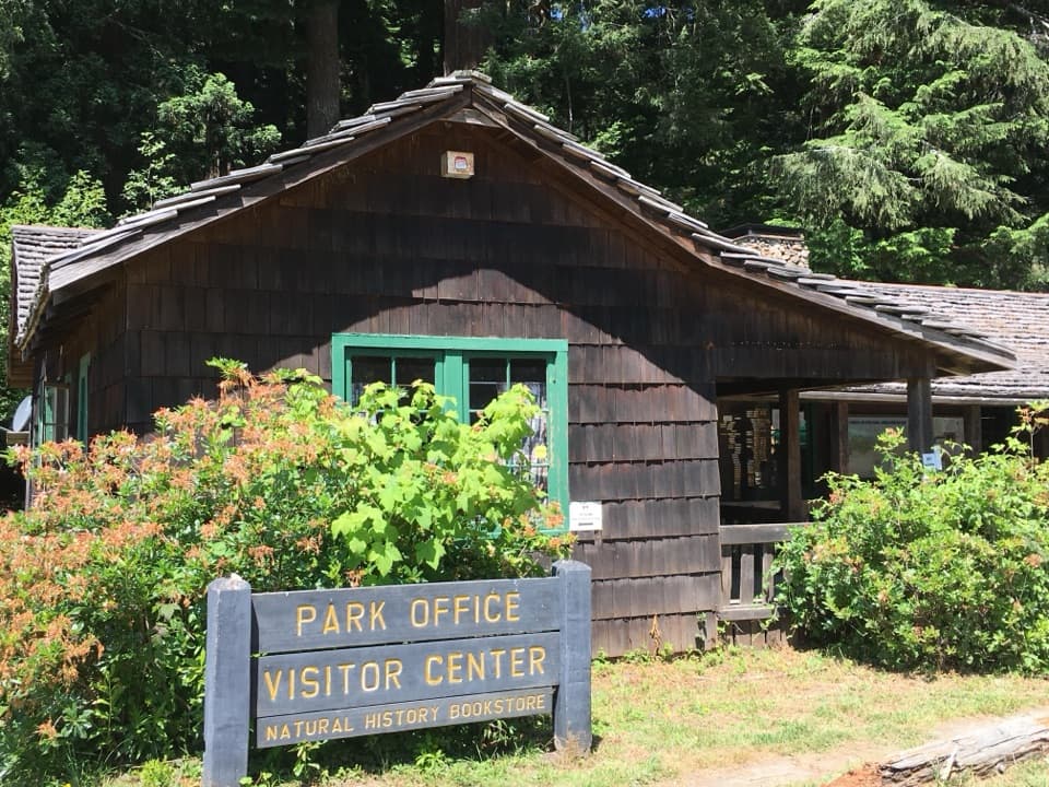 Visitor center · 0.1 mi awayPrairie Creek Visitor CenterA CCC cabin with redwood exhibits and trail advice.
 Picnic area · 0.4 mi awayElk Prairie Day Use AreaA picnic under old-growth redwoods at the prairie edge.
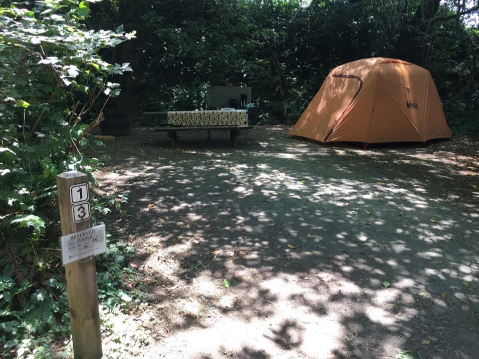 Campground · 0.5 mi awayElk Prairie CampgroundA leafy base near elk meadow and old-growth trailsSight · 0.8 mi awayBig Tree WaysideA 1,500-year-old redwood with a platform and short grove walks
 Sight · 1.2 mi awayCorkscrew TreeOne redwood, several trunks, and a remarkably twisted form.
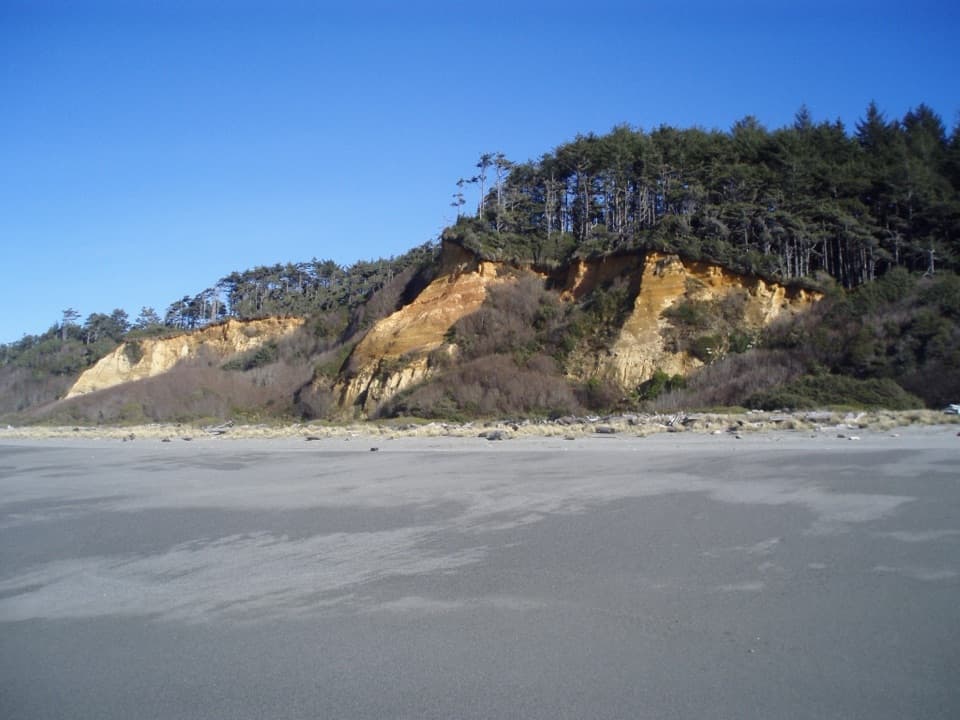 Beach · 2.5 mi awayGold Bluffs Beach Day Use AreaA long gray-sand beach below orange bluffs and coastal forest.
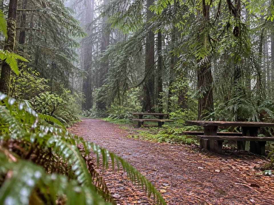 Picnic area · 2.7 mi awayLost Man Creek Picnic AreaA simple picnic stop with an easy first mile by the creek.
 Campground · 2.7 mi awayGold Bluffs Beach CampgroundSleep beside the Pacific, with Fern Canyon up the road.
Parkwolf’s Redwood ranking

The audio tour guide for the drive, plus offline maps, trails, and wildlife heatmaps for when the signal drops.




