Parking
Use the marked Bertsch Avenue trailhead parking area near the west end of Howland Hill Road. Mill Creek Campground is a separate access.
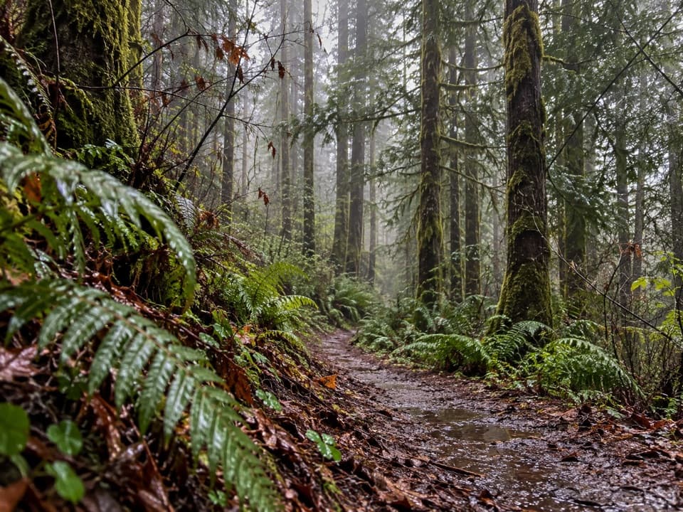
Redwood National Park, CA
A long, steep redwood loop with two seasonal creek crossings.
Overview
Map & elevation
Plan your hike

The highest, rockiest slopes around here are a summer buffet for grizzly bears.
Redwood Tour Guide
Parkwolf is a GPS audio tour guide for Redwood National Park. As you drive, it chimes in with what’s ahead: hidden gems, upcoming stops, history, geology, and wildlife, right through your car’s speakers.
See the Redwood audio tourRecorded for this area
A Banana Slug at Work“If you spot a banana slug on a forest walk, look at what it's moving through. Fallen leaves, fungi, and other decaying material are food for it.”
Plays on the road 0.2 mi from the trailhead in the Parkwolf Redwood Tour Guide.
More stories near here in the app
“Fantastic app with many points of information… It’s great to just turn on while you’re driving and it gives you an audio tour of the national Park. We love it!!!!”


Trail guide
Mill Creek Horse Trail is a shared-use lollipop loop from the marked Bertsch Avenue access near Howland Hill Road. The full route with both Mill Creek fords is about 10 miles; give it five to six hours for the steep grades, switchbacks and stops. It climbs through spruce and second-growth redwoods to the ridge, then drops to the creek and returns through forest and old logging roads. This is a long outing, not a quick grove walk. Published distances range from 7.75 to about 10 miles; this entry maps the longer, two-ford loop, so check the current trail map before starting.
The first climb runs through a spruce grove, with a few large redwoods near the top. After a dirt-road stretch, singletrack descends through logged forest; around mile two, the route reaches an upland old-growth grove with salal, huckleberry, ferns and rhododendron. Expect repeated climbs and descents rather than one steady grade. Some junctions join old logging roads to narrow trail, so keep a map or GPS handy even though the route is signed.
The two creek crossings bring the route into its most distinctive stretch. A short, bright grove of tall, straight redwoods grows on the alluvial flat just before the second ford; elsewhere, young redwoods fill an old logging corridor and screen glimpses of older trees. Mill Creek is salmon habitat, and the seasonal ford closures protect spawning fish. The watershed was protected in stages, with a small area acquired in 1968 and the rest in 2000; that history helps explain the mix of old growth and recovering logged forest. Three picnic areas are marked along the trail network.
Wildlife
 256 sightingsBlack BearMost seen around 7 PMSighting map
 2,389 sightingsElkMost seen around 6 PMSighting map
 62 sightingsCalifornia CondorMost seen around 1 PMSighting map
 60 sightingsCalifornia Sea LionMost seen around 11 AMSighting map
 216 sightingsHarbor SealMost seen around 10 AMSighting map
 13 sightingsMountain LionMost seen around 7 PMSighting map
Sighting maps show where each species has been reported across Redwood. Wildlife moves, so no sighting is guaranteed.
Keep exploring
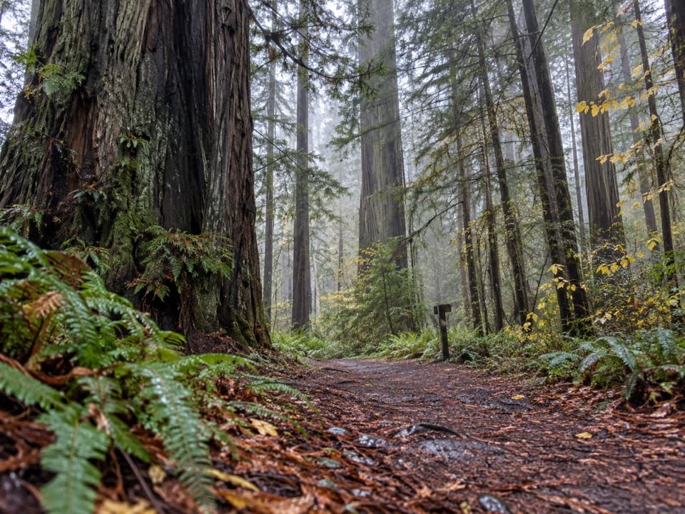 ModerateNickerson Ranch Trail1 mi · 45 min · 1.9 mi awayA short redwood walk to Mill Creek and back.
 ModerateBoy Scout Tree Trail5.6 mi · 4 hr · 2 mi awayA double-trunk giant and Fern Falls reward the longer walk
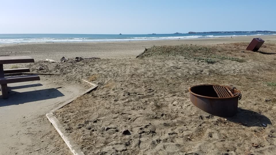 EasyCoastal Trail: Crescent Beach Section4 mi · 1.8 hr · 2.1 mi awayA flat shoreline walk for beachcombing and spotting elk.
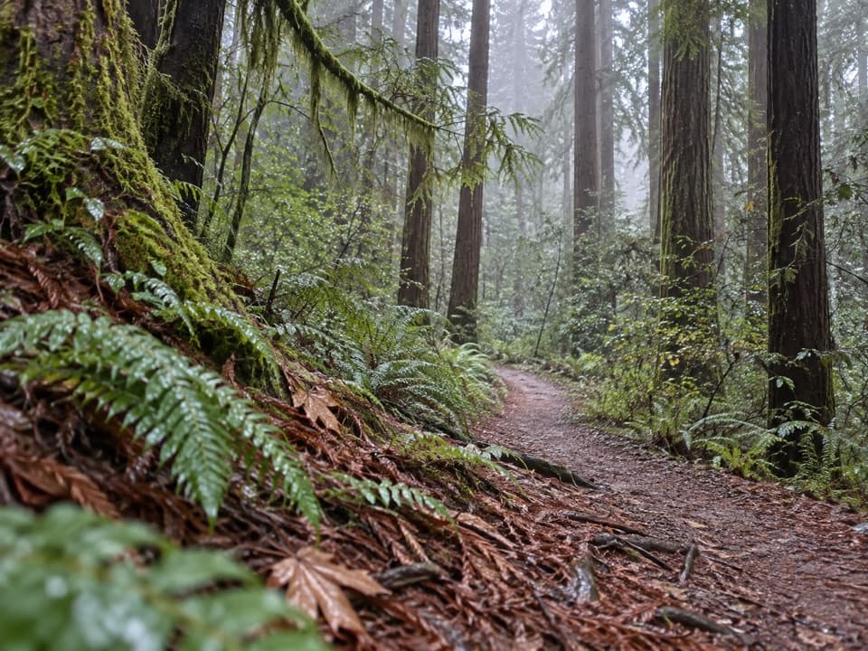 ModerateRellim Ridge Trail4.3 mi · 2.8 hr · 2.4 mi awayA steep forest climb rewards occasional views over Crescent City Harbor.
 EasyGrove of Titans Trail1.8 mi · 1.5 hr · 2.6 mi awayA raised boardwalk brings you among giants without trampling their roots.
 ModerateMill Creek Trail2.6 mi · 2.5 hr · 2.6 mi awayCreekside redwoods lead to a raised Grove of Titans boardwalk.
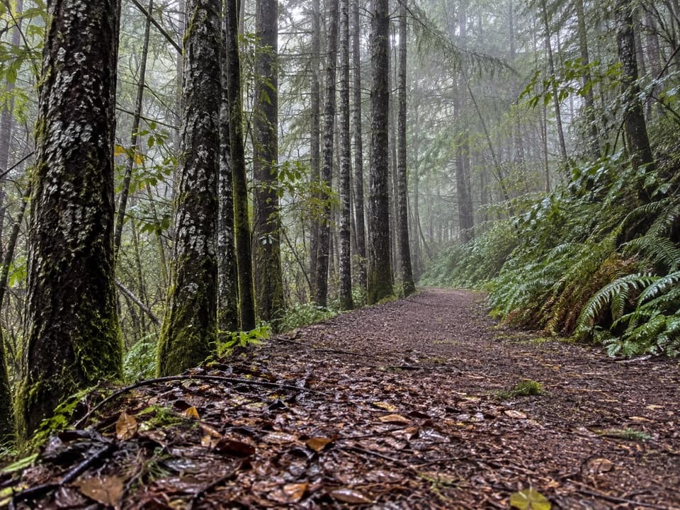 ChallengingCrossover Road Loop14.8 mi · 8.5 hr · 3 mi awayA quiet all-day loop through a redwood watershed of old logging roads
 ChallengingCalifornia Coastal Trail: Last Chance to Skunk Cabbage47.4 mi · 1 day · 3.6 mi awayA 47-mile coast-to-redwoods traverse through beaches, prairie and forest.
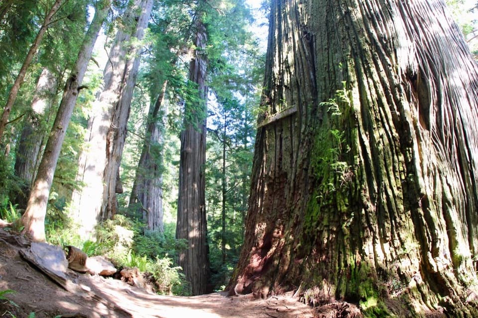 Sight · 1.8 mi awayBoy Scout TreeA double redwood landmark beyond 2.5 miles of forest trail.
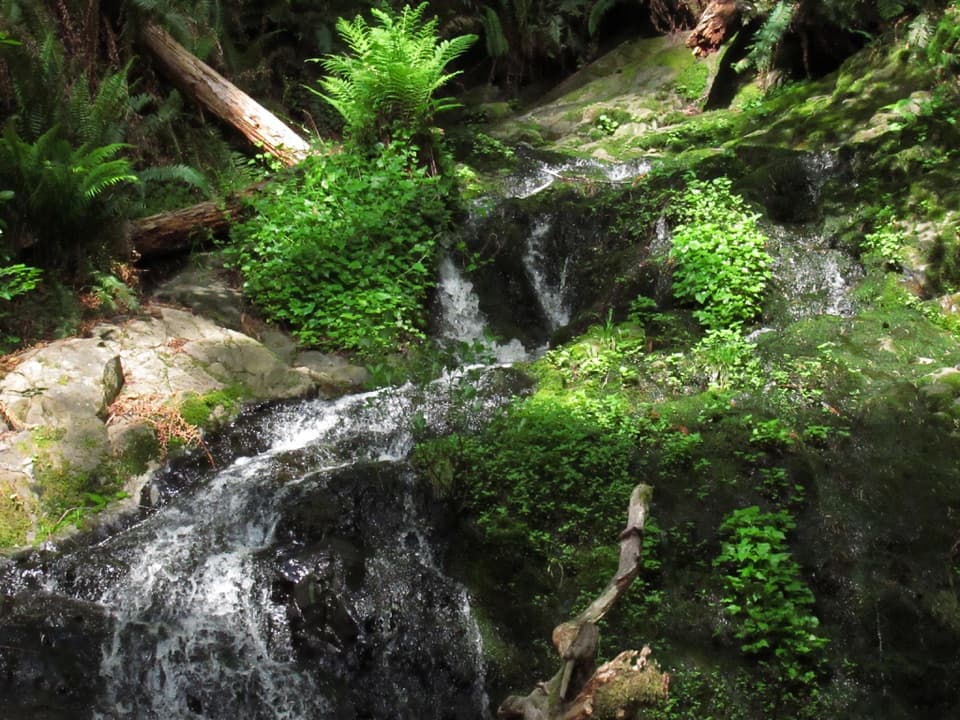 Sight · 1.9 mi awayFern FallsA small cascade caps a half-day walk through old-growth redwoods.
 Beach · 2.1 mi awayCrescent Beach Day Use AreaA picnic, a long sandy walk and the Pacific all start here.
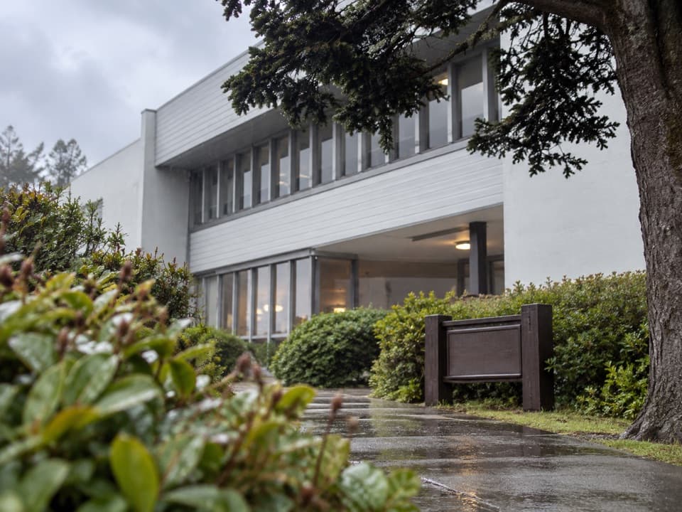 Visitor center · 2.5 mi awayCrescent City Information CenterMaps, exhibits and park advice at the headquarters in Crescent City.
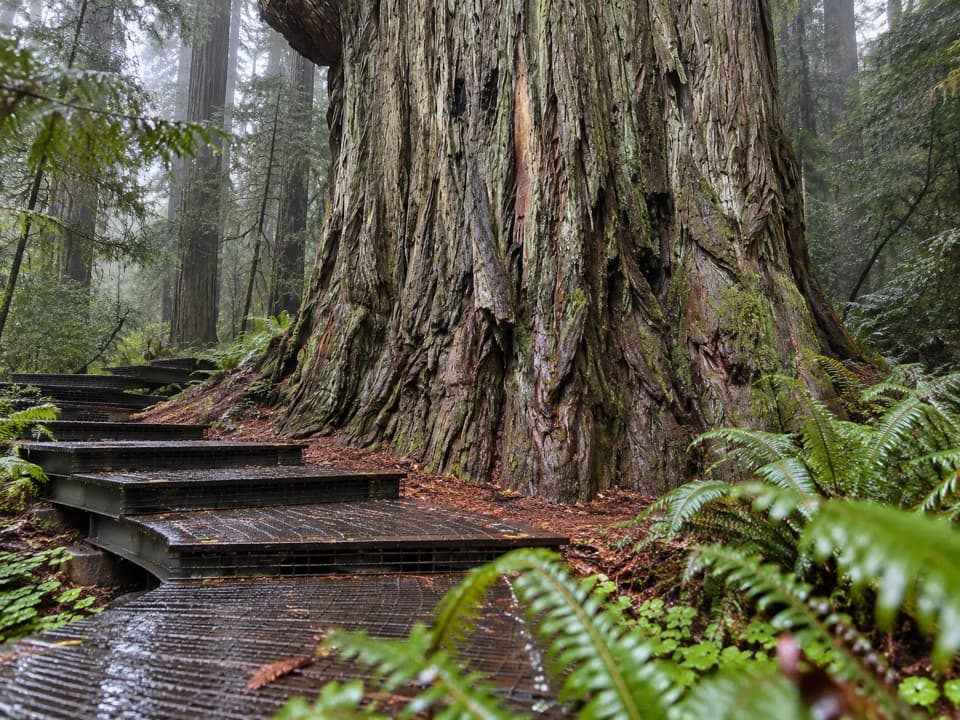 Sight · 2.8 mi awayGrove of TitansGet close to giants on a protected metal-mesh walkway.
 Sight · 3.1 mi awayMill Creek Day Use AreaA road walk through redwood restoration in the Mill Creek watershed.
 Sight · 3.5 mi awayCrescent Beach OverlookA brief deck stop for Crescent City's beaches and harbor.
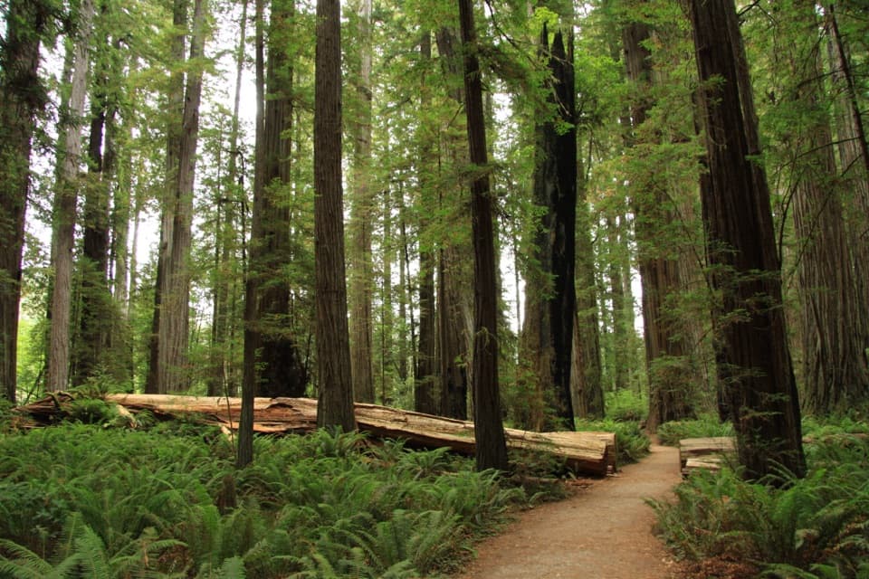 Sight · 4 mi awayStout Memorial GroveStand beneath redwoods that rise about 300 feet.
Parkwolf’s Redwood ranking

The audio tour guide for the drive, plus offline maps, trails, and wildlife heatmaps for when the signal drops.



