Mill Creek Trail in Redwood National Park

Redwood National Park, CA

Mill Creek Trail

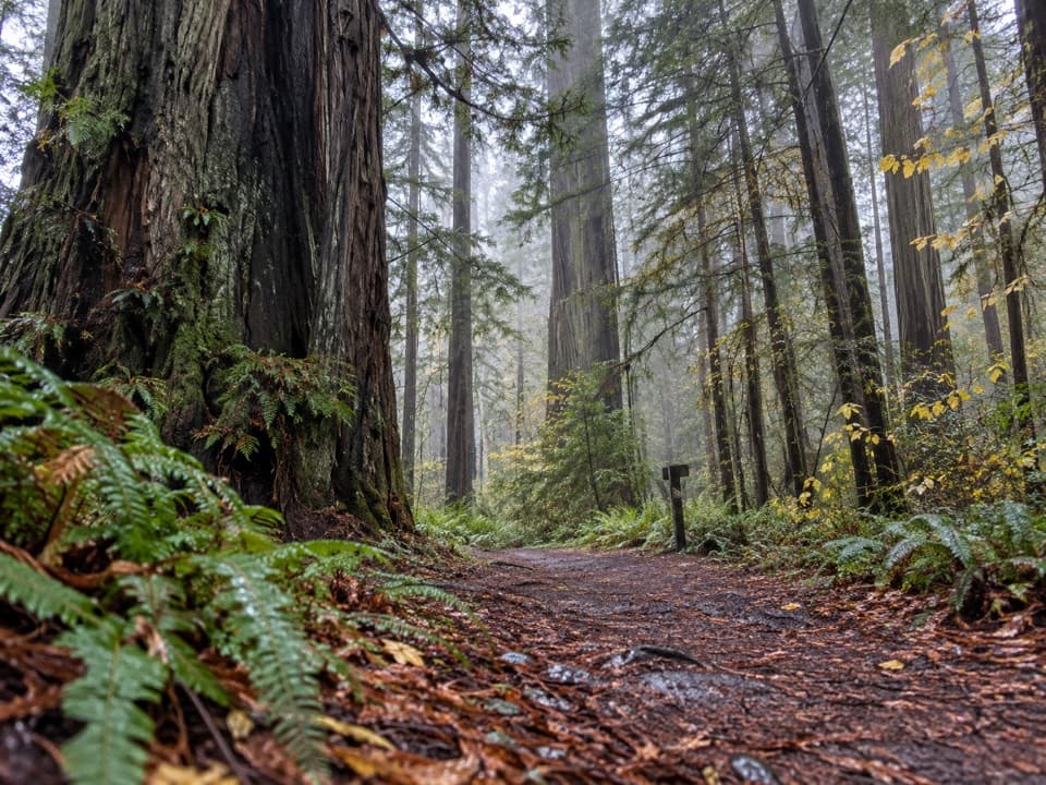
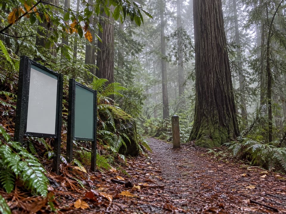
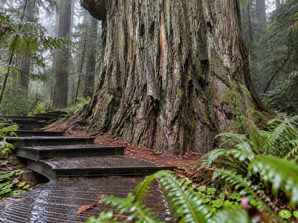
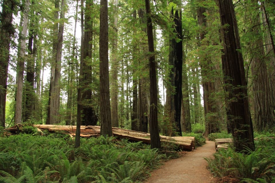
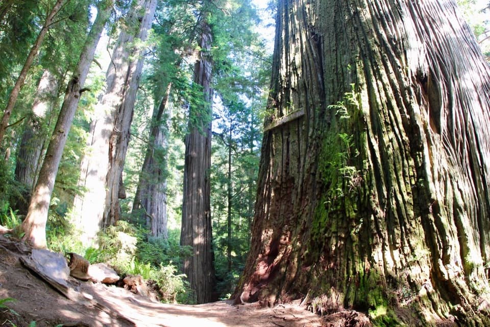
Creekside redwoods lead to a raised Grove of Titans boardwalk.

Photo: Flickr
Length
2.6mi
Time
2.5hr
Elev. change
145ft
Difficulty
Moderate
  • No dogs
  • High point 254 ft
  • #23 of 83 in Redwood

Hear the audio tour

Grove of Titans

Overview

About Mill Creek Trail

Why go

  • Old-growth redwoods beside a salmon-bearing creek
  • The raised Grove of Titans walkway
  • Maple color and berries in fall

Heads up

  • Point-to-point unless you retrace the 5.2-mile route
  • Limited roadside parking and seasonal east-end access

Map & elevation

The route

Loading the Redwood map
Full map
Elevation109–254 ft
TrailheadMill Creek Trail West Trailhead on Howland Hill Road41.77232, -124.09920
Keep this map with you offline in the Parkwolf app

Plan your hike

Before you go

Parking

Use the Mill Creek Trail west trailhead on Howland Hill Road; parking is limited. RVs and trailers are not advised on the road. The eastern end exits by the seasonal footbridge from Jedediah Smith Campground, so arrange transport or retrace the route.

Safety

The eastern end depends on the seasonal footbridge from Jedediah Smith Campground; check current access before choosing a one-way walk. Pets are prohibited on park trails; service animals are allowed.

6 active Redwood alerts

  • ClosureBald Hills Road, Mill Creek and 44 Creek restrictionsMentions Mill Creek, referenced in this guideUse caution on damaged Bald Hills Road and plan around Mill Creek and 44 Creek access restrictions.Official details
  • CautionU.S. 101 construction traffic controlsExpect construction-related traffic stops and one-way controlled traffic on U.S. 101; allow extra time and drive cautiously. - NPS reports multiple stops between Orick and Crescent City; delays vary.Official details
See all 6 alerts
A park ranger sits on a dash-mounted phone, talking, as Parkwolf’s Tour Guide plays “Army Cutworm Moths: A Grizzly Bear Buffet” on Grand Loop Road below Dunraven Pass in Yellowstone
Parkwolf Tour GuideThe highest, rockiest slopes around here are a summer buffet for grizzly bears.

Redwood Tour Guide

Your drive to Mill Creek Trail, narrated.

Parkwolf is a GPS audio tour guide for Redwood National Park. As you drive, it chimes in with what’s ahead: hidden gems, upcoming stops, history, geology, and wildlife, right through your car’s speakers.

See the Redwood audio tour

Recorded for this trailhead

Grove of Titans
0:00 / 0:23
“You're coming up on the Grove of Titans trailhead. The reward is a raised metal walkway among enormous redwoods, including Chesty Puller, an unusual pair of fused trunks.”

Plays as you drive up to this trailhead in the Parkwolf Redwood Tour Guide.

More stories near here in the app

  • Boy Scout Tree and Fern Falls
  • Stout Memorial Grove
  • Jedediah Smith Campground
  • Jedediah Smith River Day Use Area
  • 85 audio storiesacross Redwood’s roads, triggered by GPS as you drive
  • Wildlife heatmapsfor Black Bear, Elk, California Condor, and 13 more
  • Works offlinemaps, 83 trails, 48 places, and audio download before you lose signal
  • CarPlay readysimple controls built for the drive
★★★★★
“Fantastic app with many points of information… It’s great to just turn on while you’re driving and it gives you an audio tour of the national Park. We love it!!!!”
JMJamesApp Store review
Download Parkwolf on the App StoreGet Parkwolf on Google Play

4.7 from 8,600+ ratings

Trail guide

Hiking Mill Creek Trail

A creekside redwood walkMill Creek Trail is a 2.

Mill Creek Trail is a 2.6-mile point-to-point route through old-growth redwoods, from the west trailhead on Howland Hill Road to the seasonal footbridge from Jedediah Smith Campground. The grades are uneven but not steep. Allow about 2½ hours one way with time to stop. If your car stays on Howland Hill Road, walking back makes it about 5.2 miles total, a half-day outing. Plan your return before you start.

A walk along the waterThe route moves in and out of Mill Creek’s forested corridor.

The route moves in and out of Mill Creek’s forested corridor. The clearest break in the redwoods is Little Stout Grove: a flatter, fern- and sorrel-covered alluvial patch, with the taller trees of Stout Grove standing across the creek. From there, the trail climbs through upland redwoods, then dips back into flatter groves separated by brushier streamside stretches.

The Grove of Titans walkwayThe elevated walkway takes you through the dark, ferny Grove of Titans among some of the area’s…

The elevated walkway takes you through the dark, ferny Grove of Titans among some of the area’s largest redwoods. It runs about 1,300 feet and keeps visitors above vulnerable roots. Stay on the boardwalk. For a photo, include a piece of the grating and railing beside a redwood trunk; it gives the trees a useful sense of scale.

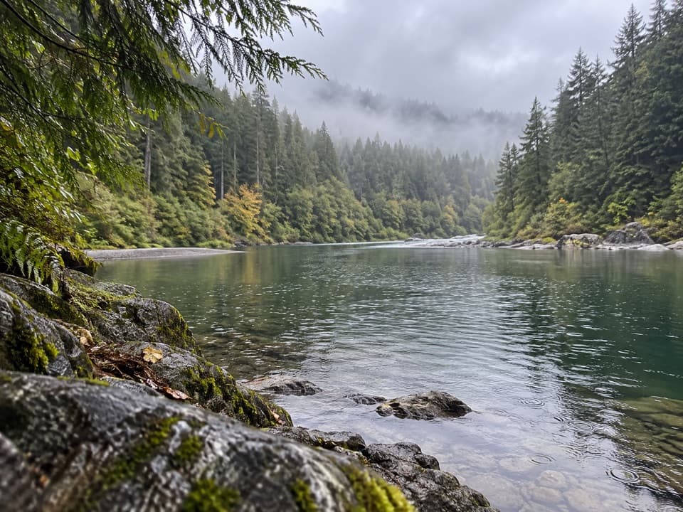
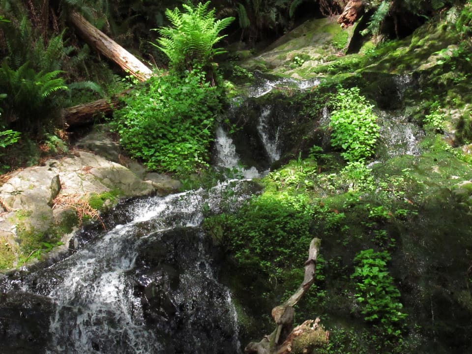
Creek life and fall colorMill Creek supports coho and Chinook salmon, steelhead, and cutthroat trout.

Mill Creek supports coho and Chinook salmon, steelhead, and cutthroat trout. From October through December, vine and big-leaf maples add crimson and gold to the redwood shade. Berries are available to gather under the park’s one-gallon-per-person-per-day limit.

Access and rulesParking at the Howland Hill Road trailhead is limited, and RVs or trailers aren’t advised on…

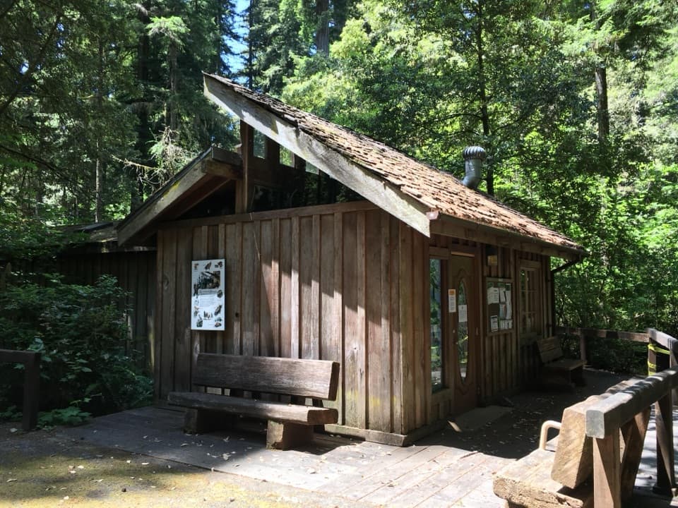
Parking at the Howland Hill Road trailhead is limited, and RVs or trailers aren’t advised on the road. There’s a restroom near the road junction. The eastern end is reached by a seasonal footbridge from the campground, so check that crossing before planning a one-way walk. Pets aren’t allowed on park trails; service animals are permitted.

Wildlife

Wildlife in Redwood

All Redwood wildlife maps

Sighting maps show where each species has been reported across Redwood. Wildlife moves, so no sighting is guaranteed.

Keep exploring

Near Mill Creek Trail

See it all on the map

Trails that start nearby

Places near the trailhead

Parkwolf’s Redwood ranking

Top-rated trails in Redwood

All 83 trails
  1. 1Fern Canyon Loop TrailModerate · 1 mi
  2. 2Miners Ridge and James Irvine LoopChallenging · 12 mi
  3. 3Boy Scout Tree TrailModerate · 5.6 mi
  4. 4Stout Memorial Grove TrailEasy · 0.6 mi
  5. 5Grove of Titans TrailEasy · 1.8 mi
  6. 6Tall Trees TrailChallenging · 3.7 mi

Take Parkwolf to Redwood.

The audio tour guide for the drive, plus offline maps, trails, and wildlife heatmaps for when the signal drops.

4.7 from 8,600+ ratings

Download Parkwolf on the App StoreGet Parkwolf on Google Play