California Coastal Trail: Last Chance to Skunk Cabbage in Redwood National Park

Redwood National Park, CA

California Coastal Trail: Last Chance to Skunk Cabbage

A 47-mile coast-to-redwoods traverse through beaches, prairie and forest.

Photo: Wikimedia Commons
Length
47.4mi
Time
1day
Elev. change
1,148ft
Difficulty
Challenging
  • No dogs
  • High point 1,148 ft

Hear the audio tour

Crescent Beach Overlook and Enderts Beach

Overview

About California Coastal Trail: Last Chance to Skunk Cabbage

Why go

  • A rare coast-to-redwoods line links bluffs, tidepools, prairie and beach.
  • Named access points let visitors choose shorter section hikes.

Heads up

  • The Klamath detour includes a fast Highway 101 bridge with no protected walkway verified.
  • The one-way route demands shuttle logistics and permit-based overnight planning.

Map & elevation

The route

Loading the Redwood map
Full map
Elevation0–1,148 ft
TrailheadLast Chance north Coastal Trail trailhead on Enderts Beach Road41.70588, -124.14270
Keep this map with you offline in the Parkwolf app

Plan your hike

Before you go

Parking

Begin at the marked north Coastal Trail trailhead at the end of Enderts Beach Road, south of Crescent City. The mapped line ends at Highway 101 milepost 122.69; arrange a vehicle shuttle in advance or hike separate sections from their own access points. No through-trail shuttle information is available.

Safety

The mapped Klamath River detour uses the Highway 101 bridge and shoulder; the narrow bridge has no shoulder and traffic can be fast. No separated pedestrian walkway was verified. Confirm a safe current crossing with the park or Caltrans before attempting the through-route. Last Chance is frequently affected by landslides; check current access. Tidepools and beach sections require tide planning. Backcountry camping requires a permit.

6 active Redwood alerts

  • CautionU.S. 101 construction traffic controlsExpect construction-related traffic stops and one-way controlled traffic on U.S. 101; allow extra time and drive cautiously. - NPS reports multiple stops between Orick and Crescent City; delays vary.Official details
  • CautionU.S. 199 construction traffic controlsExpect 24/7 one-way controlled traffic on three U.S. 199 segments because of construction. - 6–6.2 miles north of Gasquet: through 6:00 p.m. December 15, 2026; delays up to 10 minutes. - 9.6–9.Official details
See all 6 alerts
A park ranger sits on a dash-mounted phone, talking, as Parkwolf’s Tour Guide plays “Army Cutworm Moths: A Grizzly Bear Buffet” on Grand Loop Road below Dunraven Pass in Yellowstone
Parkwolf Tour GuideThe highest, rockiest slopes around here are a summer buffet for grizzly bears.

Redwood Tour Guide

Your drive to California Coastal Trail: Last Chance to Skunk Cabbage, narrated.

Parkwolf is a GPS audio tour guide for Redwood National Park. As you drive, it chimes in with what’s ahead: hidden gems, upcoming stops, history, geology, and wildlife, right through your car’s speakers.

See the Redwood audio tour

Recorded for this trailhead

Crescent Beach Overlook and Enderts Beach
0:00 / 0:34
“You're coming up on Crescent Beach Overlook, a quick stop for the curve of sand, Crescent City's harbor, and offshore sea stacks.”

Plays as you drive up to this trailhead in the Parkwolf Redwood Tour Guide.

More stories near here in the app

  • The Spruce Beside the Sea
  • Mill Creek Watershed via Hamilton Road
  • Crescent Beach Day Use Area
  • The Coho's Last Journey
  • 85 audio storiesacross Redwood’s roads, triggered by GPS as you drive
  • Wildlife heatmapsfor Black Bear, Elk, California Condor, and 13 more
  • Works offlinemaps, 83 trails, 48 places, and audio download before you lose signal
  • CarPlay readysimple controls built for the drive
★★★★★
“Fantastic app with many points of information… It’s great to just turn on while you’re driving and it gives you an audio tour of the national Park. We love it!!!!”
JMJamesApp Store review
Download Parkwolf on the App StoreGet Parkwolf on Google Play

4.7 from 8,600+ ratings

Trail guide

Hiking California Coastal Trail: Last Chance to Skunk Cabbage

The tripThis is a one-way, multi-day route on the California Coastal Trail, from the marked Last Chance…

This is a one-way, multi-day route on the California Coastal Trail, from the marked Last Chance north trailhead to Highway 101 milepost 122.69 at Skunk Cabbage. The 47.4-mile mapped line joins Last Chance, DeMartin, Klamath, the Klamath River highway detour, Flint Ridge, the Tey-wo-lew connector, Gold Bluffs Beach and Skunk Cabbage, crossing Redwood National Park and neighboring state park lands. The separate Crescent Beach walk is excluded. The park describes a 70-mile coastal trail, but its listed section figures do not reconcile; 47.4 miles is measured along this specific route, not a settled official mileage. Allow about 24 hours of walking and several days for a full backpack.

The Klamath crossingThe route line includes a detour over the Highway 101 bridge at the Klamath River.

The route line includes a detour over the Highway 101 bridge at the Klamath River. The detour puts hikers on the Highway 101 shoulder and the narrow bridge, where traffic is fast and there is no shoulder or separated pedestrian walkway. Do not assume the bridge is safe to walk across based on this map. Confirm current pedestrian access with the park or Caltrans, or hike the named sections separately. Last Chance is frequently affected by landslides; check current access before traveling.

Logistics and tidesStart at the marked north Coastal Trail trailhead at the end of Enderts Beach Road south of…

Start at the marked north Coastal Trail trailhead at the end of Enderts Beach Road south of Crescent City; the mapped south endpoint is Highway 101 milepost 122.69. This is not a loop, so arrange a vehicle shuttle or hike separate sections from their own access points. Backcountry camping requires a permit; reserve and confirm a camp plan before relying on an overnight itinerary. Check tide tables before visiting Enderts Beach, Hidden Beach or Gold Bluffs. No continuous food or water resupply is identified along the full route; plan supplies before starting.

Last Chance and DeMartinLast Chance starts with steep switchbacks, then levels onto the old coast road.

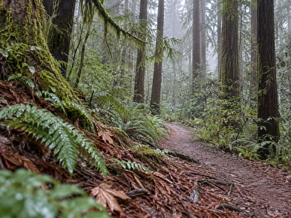
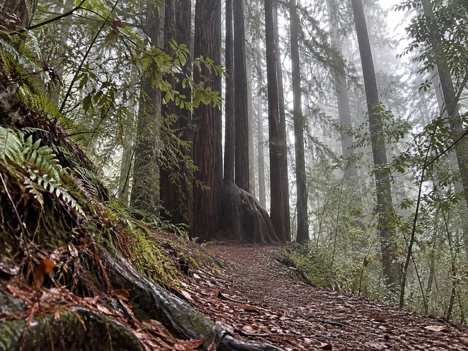
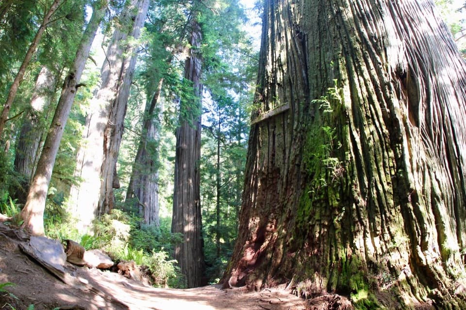
Last Chance starts with steep switchbacks, then levels onto the old coast road. Ocean views open early; alder, spruce and old-growth redwood follow. A side route reaches Enderts Beach tidepools, best visited at low tide. DeMartin climbs and descends through old-growth Sitka spruce, western hemlock, Douglas-fir and redwoods. Backcountry sites with toilets sit along the climb, followed by prairie openings and wide ocean views. Berry patches are bear habitat.

The Klamath coastThe Klamath section runs from Wilson Creek Picnic Area toward Klamath River Overlook through…

The Klamath section runs from Wilson Creek Picnic Area toward Klamath River Overlook through mixed spruce and alder with Pacific views. Hidden Beach and its tidepools are a spur about two miles south of Wilson Creek; return to the main trail before climbing to the overlook. Offshore stacks host murres, cormorants and pigeon guillemots. The river and coast are part of the Yurok people's ancestral landscape; respect community lands and cultural places.

Flint Ridge and Gold BluffsBeyond the river detour, Flint Ridge climbs from Marshall Pond through old-growth redwoods to…

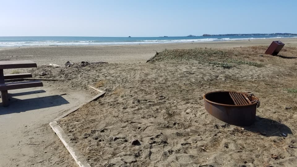
Beyond the river detour, Flint Ridge climbs from Marshall Pond through old-growth redwoods to coastal openings; the pond dates from the logging era, and the climb is steep. Tey-wo-lew connects Flint Ridge with Gold Bluffs Beach. There the trail drops steeply to Carruthers Cove, then follows easier beach walking. Fern Canyon is a separate quarter-mile walk; seasonal footbridges are available only in summer. The road continues to Gold Bluffs Beach Campground.

Skunk CabbageThe final named section runs from Davison Road to Highway 101 milepost 122.69.

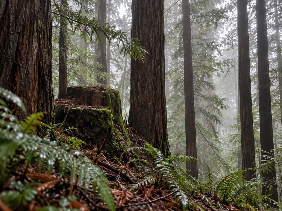
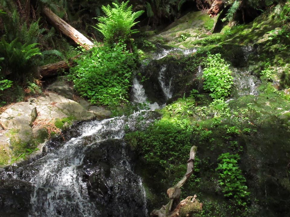
The final named section runs from Davison Road to Highway 101 milepost 122.69. From beach and wind-shaped shrubs it climbs beside Skunk Cabbage Creek, crosses flowered prairie and reaches an overlook, then descends into a fern-filled drainage with big-leaf maple and pungent skunk cabbage. The trail passes massive redwoods and old spruce stumps before ending in dense young forest. Sitka spruce from this coast was used to build World War II aircraft.

Wildlife and access rulesElk graze the coastal prairies, bears forage where berries grow, and seabirds crowd offshore…

Elk graze the coastal prairies, bears forage where berries grow, and seabirds crowd offshore stacks. Observe wildlife from a distance, especially elk. Pets are not allowed on park trails; service animals are permitted.

Wildlife

Wildlife in Redwood

All Redwood wildlife maps

Sighting maps show where each species has been reported across Redwood. Wildlife moves, so no sighting is guaranteed.

Keep exploring

Near California Coastal Trail: Last Chance to Skunk Cabbage

See it all on the map

Trails that start nearby

Places near the trailhead

Parkwolf’s Redwood ranking

Top-rated trails in Redwood

All 83 trails
  1. 1Fern Canyon Loop TrailModerate · 1 mi
  2. 2Miners Ridge and James Irvine LoopChallenging · 12 mi
  3. 3Boy Scout Tree TrailModerate · 5.6 mi
  4. 4Stout Memorial Grove TrailEasy · 0.6 mi
  5. 5Grove of Titans TrailEasy · 1.8 mi
  6. 6Tall Trees TrailChallenging · 3.7 mi

Take Parkwolf to Redwood.

The audio tour guide for the drive, plus offline maps, trails, and wildlife heatmaps for when the signal drops.

4.7 from 8,600+ ratings

Download Parkwolf on the App StoreGet Parkwolf on Google Play