Parking
Use the large paved lot at Mill Creek Day Use Area. Walk around the gate and cross the Mill Creek bridge to reach Hamilton Road; public day use is limited to weekends and the entrance gate locks each evening.
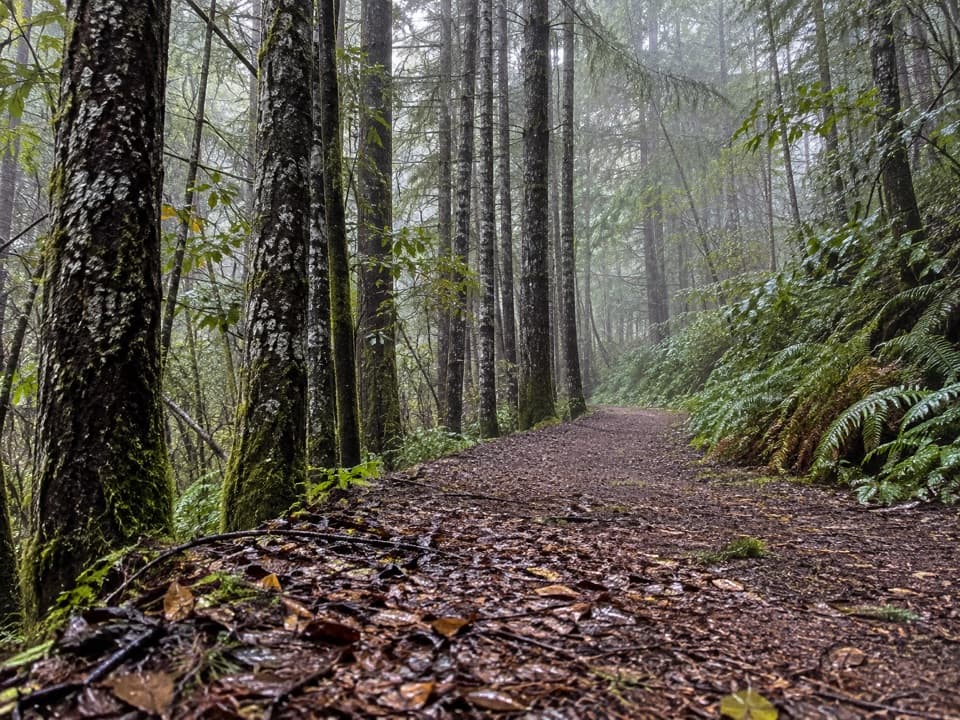
Redwood National Park, CA
A quiet all-day loop through a redwood watershed of old logging roads
Overview
Map & elevation
Plan your hike

The highest, rockiest slopes around here are a summer buffet for grizzly bears.
Redwood Tour Guide
Parkwolf is a GPS audio tour guide for Redwood National Park. As you drive, it chimes in with what’s ahead: hidden gems, upcoming stops, history, geology, and wildlife, right through your car’s speakers.
See the Redwood audio tourRecorded for this trailhead
Mill Creek Watershed via Hamilton Road“You're nearing Hamilton Road, the access to Mill Creek Day Use Area.”
Plays as you drive up to this trailhead in the Parkwolf Redwood Tour Guide.
More stories near here in the app
“Fantastic app with many points of information… It’s great to just turn on while you’re driving and it gives you an audio tour of the national Park. We love it!!!!”


Trail guide
The Crossover Road Loop is a roughly 14.8-mile circuit on gravel logging roads through the Mill Creek Addition of Del Norte Coast Redwoods State Park. Plan on an all-day outing. The route links Hamilton and Childs Hill with Crossover, Rock Creek, 12 Percent and West Branch roads, then returns by Childs Hill and Hamilton. Its reward is a long look into a recovering watershed, not a destination viewpoint.
The mainline starts beside Mill Creek and runs level for several miles before a long, gentle climb. Crossover Road is narrower and less maintained than Childs Hill; the turn is unmarked and easy to miss. Later, Rock Creek Road gives way to 12 Percent Road, a steep 12-percent descent, then West Branch Road drops on an easier grade through a creek valley. The roads are mostly broad gravel tracks. Many timber-road junctions have no signs, and the correct line can be faint, so use a detailed GPS map; a wrong turn can add miles.
A small old-growth redwood grove sits on the steep hillside near the start, beside the former mill clearing and logging buildings. Crossover is the most forested-feeling stretch, with lush fir stands and pale trunks. A short side road reaches the Crossover 2 clearing, but the former watershed view is now largely screened by pines. Expect a quiet road walk among creeks, forest corridors and visible marks of past timber work, rather than big overlooks.
Mill Creek Addition covers about 25,000 acres. California State Parks says it was intensively logged from 1954 to 2000 and added to the park in 2002; a broad network of logging roads and skid trails remains part of the terrain being restored. Mill and Rock creeks flow toward the Smith River, a designated Wild and Scenic River.
Start at the large paved lot at Mill Creek Day Use Area, walk around the gate and cross the Mill Creek bridge to Hamilton Road. Public access to the addition is limited to weekends, and the gate is locked each evening. Dogs are not allowed on trails except service animals.
Wildlife
 256 sightingsBlack BearMost seen around 7 PMSighting map
 2,389 sightingsElkMost seen around 6 PMSighting map
 62 sightingsCalifornia CondorMost seen around 1 PMSighting map
 60 sightingsCalifornia Sea LionMost seen around 11 AMSighting map
 216 sightingsHarbor SealMost seen around 10 AMSighting map
 13 sightingsMountain LionMost seen around 7 PMSighting map
Sighting maps show where each species has been reported across Redwood. Wildlife moves, so no sighting is guaranteed.
Keep exploring
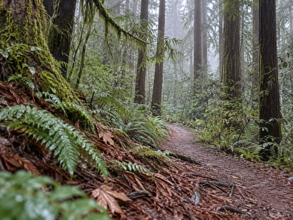 ModerateRellim Ridge Trail4.3 mi · 2.8 hr · 2 mi awayA steep forest climb rewards occasional views over Crescent City Harbor.
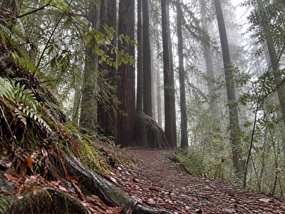 ModerateAlder Basin Trail0.6 mi · 30 min · 2 mi awayA short, steep climb through ferny second-growth redwoods
 EasyTrestle Loop Trail1.3 mi · 54 min · 2.2 mi awayA short railroad loop beside Mill Creek.
 ModerateHobbs-Wall Trail3.8 mi · 2 hr · 2.3 mi awayA wall of redwood trunks on a hilly forest loop.
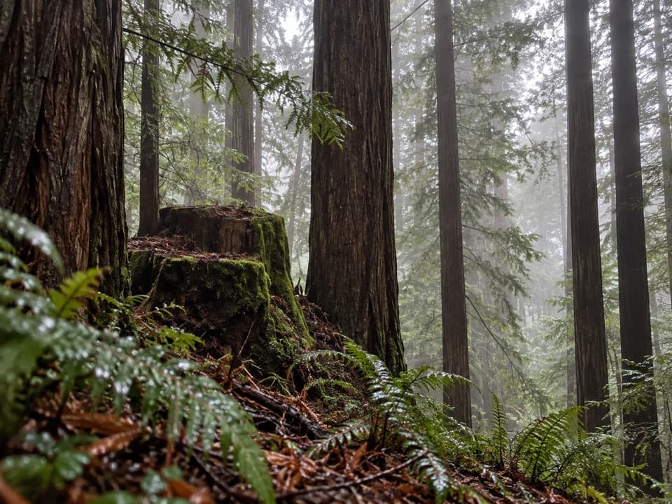 ModerateSaddler Skyline Trail1.5 mi · 1 hr · 2.4 mi awayA short climb through young redwoods and berry thickets.
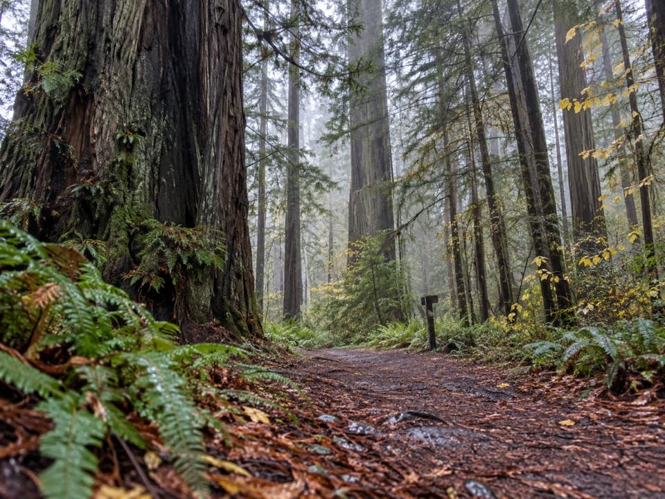 ModerateNickerson Ranch Trail1 mi · 45 min · 2.5 mi awayA short redwood walk to Mill Creek and back.
 ModerateBoy Scout Tree Trail5.6 mi · 4 hr · 2.6 mi awayA double-trunk giant and Fern Falls reward the longer walk
 ModerateMill Creek Trail2.6 mi · 2.5 hr · 2.8 mi awayCreekside redwoods lead to a raised Grove of Titans boardwalk.
 Sight · 0.2 mi awayMill Creek Day Use AreaA road walk through redwood restoration in the Mill Creek watershed.
 Campground · 2.2 mi awayMill Creek CampgroundA creekside campground with woods and walks beyond your campsite.
 Beach · 2.8 mi awayCrescent Beach Day Use AreaA picnic, a long sandy walk and the Pacific all start here.
 Sight · 2.9 mi awayCrescent Beach OverlookA brief deck stop for Crescent City's beaches and harbor.
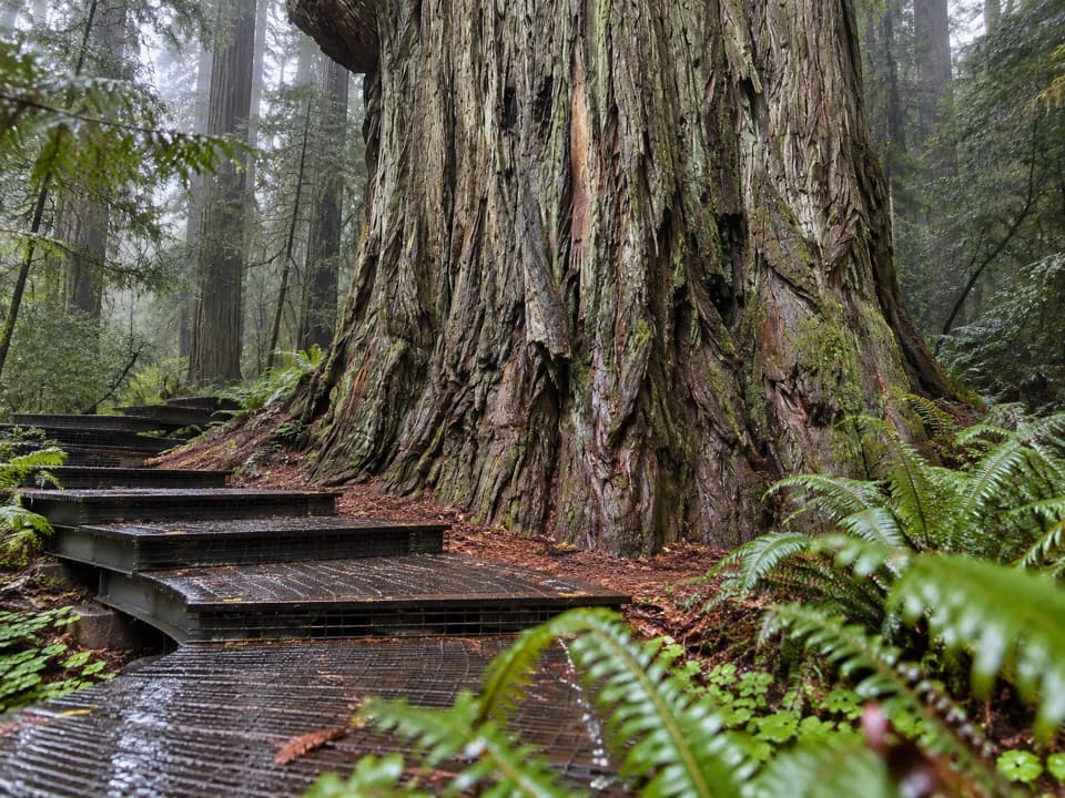 Sight · 3.2 mi awayGrove of TitansGet close to giants on a protected metal-mesh walkway.
 Beach · 3.2 mi awayEnderts BeachLow-tide pools beneath coastal cliffs, reached by a steep beach trail.
 Campground · 3.7 mi awayLittle Bald Hills Backcountry CampA trail-access camp where grassy meadow meets fir forest.
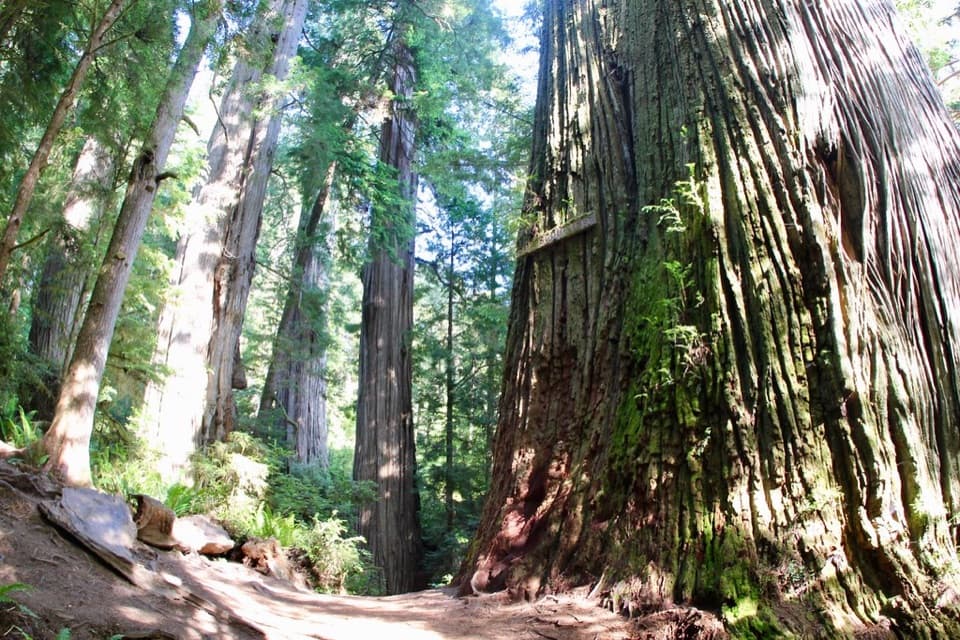 Sight · 3.9 mi awayBoy Scout TreeA double redwood landmark beyond 2.5 miles of forest trail.
Parkwolf’s Redwood ranking

The audio tour guide for the drive, plus offline maps, trails, and wildlife heatmaps for when the signal drops.




