Parking
Use the parking marked for Kahakai Trail and walk-in campsites at Kīpahulu Campground, on the seaward side of Hāna Highway. The one-way route ends at Kūloa Point Trail; return on the trail or use the campground road for a short loop back.
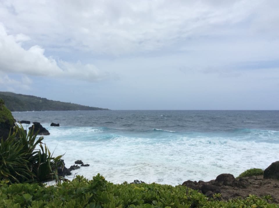
Road to Hana, HI
A short coastal link from Kīpahulu Campground to Kūloa Point Trail
Overview
Map & elevation
Plan your hike

The highest, rockiest slopes around here are a summer buffet for grizzly bears.
Road to Hana Tour Guide
Parkwolf is a GPS audio tour guide for Road to Hana. As you drive, it chimes in with what’s ahead: hidden gems, upcoming stops, history, geology, and wildlife, right through your car’s speakers.
See the Road to Hana audio tourRecorded for this trailhead
Kīpahulu’s Coast and Waterfalls“You’re coming up on Kīpahulu Visitor Center, the starting point for coastal walks and the Pīpīwai waterfall hike.”
Plays as you drive up to this trailhead in the Parkwolf Road to Hana Tour Guide.
More stories near here in the app
“Fantastic app with many points of information… It’s great to just turn on while you’re driving and it gives you an audio tour of the national Park. We love it!!!!”


Trail guide
Kahakai is an easy, mown-grass coastal connector from Kīpahulu Campground to Kūloa Point Trail. The park’s plan describes about 0.3 mile one way; allow 15–30 minutes. Some descriptions use a quarter-mile for the shoreline leg, while a short loop back by campground road is about half a mile. The open coast brings ocean views, but there is no beach access. Public maps differ on the exact line through the visitor-center area, so follow posted trail signs at that junction.
The route follows a rugged, wave-battered coast and passes a historic wall and other old stone sites. Their names and dates are not established in the sources checked. Stay on the mown trail and leave the stones undisturbed; there are no formal safe viewing platforms along this shore.
Start at the parking area marked for Kahakai Trail and walk-in campsites at Kīpahulu Campground, on the seaward side of Hāna Highway. The route ends at Kūloa Point Trail; return the way you came or use the campground road for the short circuit. A separate visitor-center comfort station has water and flush toilets; the campground has vault toilets but no water or showers. Bring food and fuel before entering the district. Park admission is required, and the three-day pass also covers the Summit District. Pets are prohibited on park trails.
Wildlife
 10 sightingsHawaiian Monk SealMost seen around 11 AMSighting map
 127 sightingsGreen Sea TurtleMost seen around 5 PMSighting map
 86 sightingsFrigatebirdMost seen around noonSighting map
 17 sightingsRed-footed BoobyMost seen around 6 AMSighting map
 73 sightingsNene (Hawaiian Goose)Most seen around 6 AMSighting map
 58 sightingsHawaiian StiltMost seen around 8 AMSighting map
Sighting maps show where each species has been reported across Road to Hana. Wildlife moves, so no sighting is guaranteed.
Keep exploring
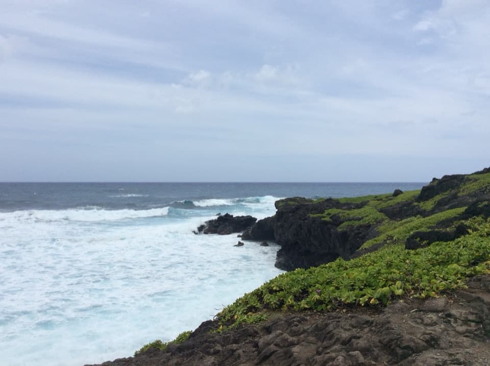 EasyKūloa Point Trail0.5 mi · 45 min · 0.1 mi awayA short coastal loop to Kūloa Point and ʻOheʻo Gulch.
 ModeratePīpīwai Trail4 mi · 3.5 hr · 0.2 mi awayBamboo corridors and two waterfalls reward the steady climb inland.
 ModerateFagan’s Cross Trail1.5 mi · 1 hr · 7.4 mi awayA paved climb to Hāna’s hilltop cross and coastal views.
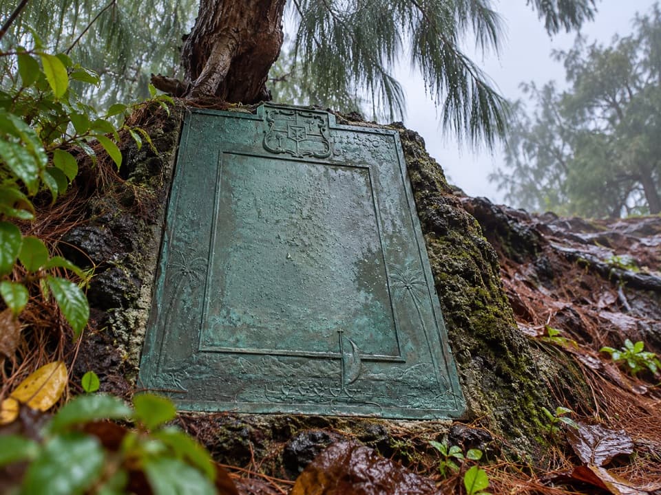 ModerateHāna Bay Cliff Path0.4 mi · 45 min · 7.7 mi awayA short cliff path to Kaʻahumanu’s birthplace plaque
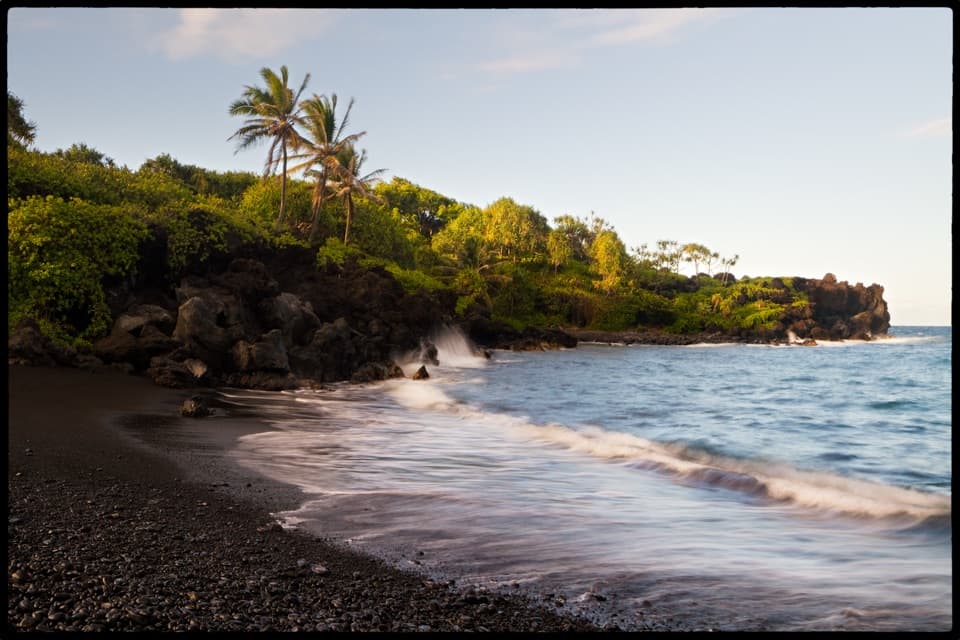 EasySea Caves and Black Sand Beach Trail0.7 mi · 30 min · 9.3 mi awayA short walk from black pebbles to a sea cave and blowhole.
 ModerateKe Ala Loa O Maui / Piʻilani Trail3 mi · 2.3 hr · 9.3 mi awayRough lava, a blowhole, and a boulder beach at the far end.
 ModerateWaiʻānapanapa Coast Trail North1.9 mi · 1.5 hr · 9.3 mi awayBlack lava, tucked coves, and a blowhole on a short coast walk.
 EasyPuaʻa Kaʻa Falls Trail0.1 mi · 15 min · 12.1 mi awayA tiny waterfall loop makes a good Road to Hāna breather.
 Campground · At the trailheadKīpahulu CampgroundQuiet camping above the cliffs; bring your own water.
 Visitor center · 0.1 mi awayKīpahulu Visitor CenterA water refill and trail advice before exploring Kīpahulu.
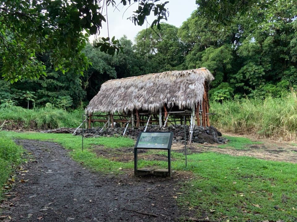 Sight · 0.2 mi awayHale HālāwaiA traditional meeting house adds a cultural pause at the trail fork.
 Sight · 0.3 mi awayPools of ʻOheʻoA short loop for waterfall views; you can't swim in the pools.
 Sight · 0.5 mi awayMakahiku Falls OverlookA half-mile walk to a nearly 200-foot waterfall and carved valley.
 Sight · 0.9 mi awayPalapala Hoʻomau ChurchA quiet coastal church and cemetery hold Lindbergh’s grave.
 Food · 1.2 mi awayLaulima Farm Fruit Stand & CafeA tropical fruit tasting with a shady garden walk.
 Sight · 1.5 mi awayWaimoku FallsThe bamboo forest makes this four-mile waterfall hike worth the work.
Parkwolf’s Road to Hana ranking

The audio tour guide for the drive, plus offline maps, trails, and wildlife heatmaps for when the signal drops.
