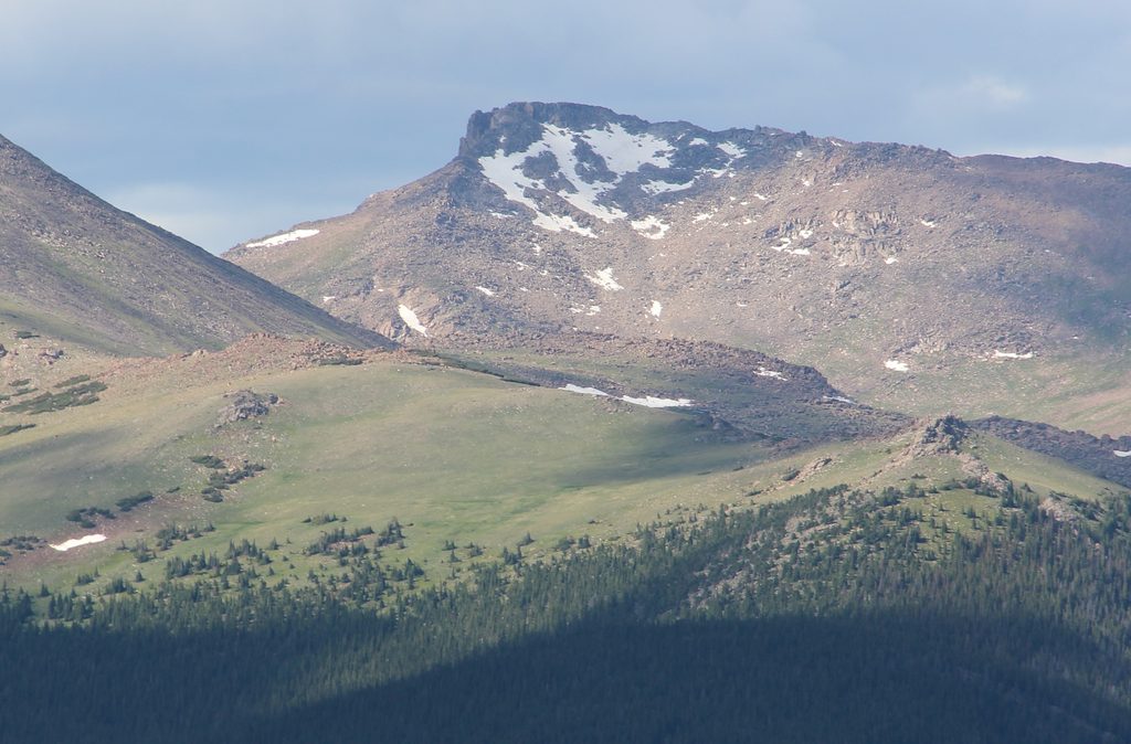
Hagues Peak

Remote Mummy Range high point with big views and airy scrambling
Hagues Peak, Rocky Mountain National Park
InsideRocky Mountain National Park

Overview

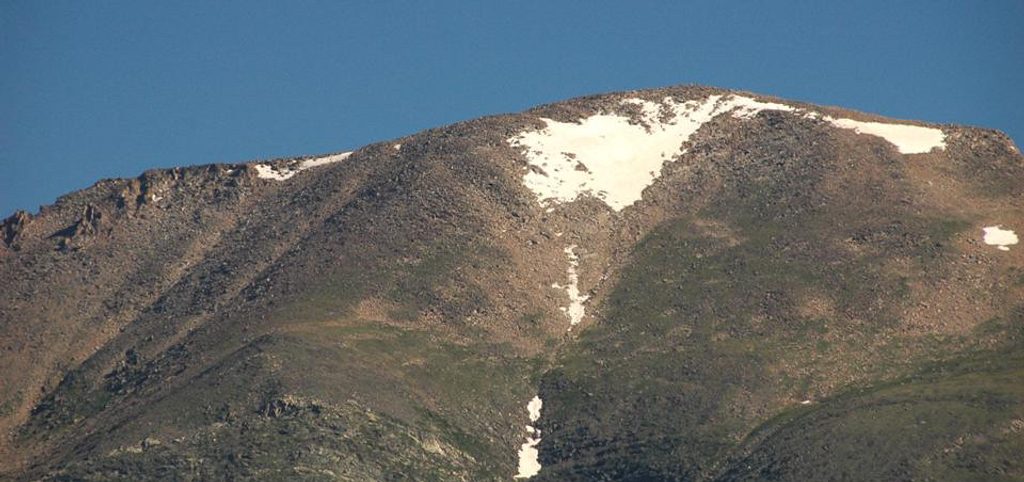
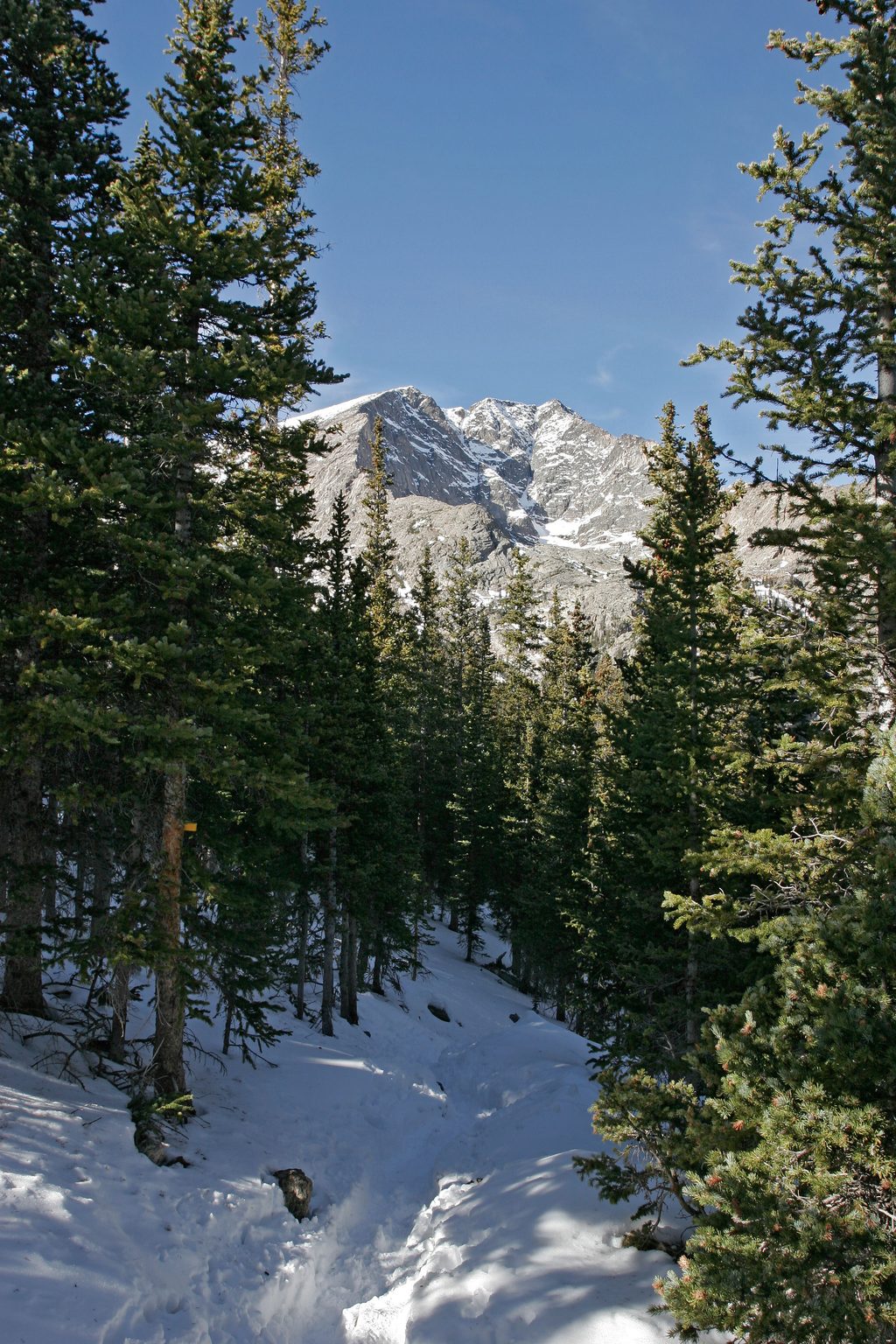
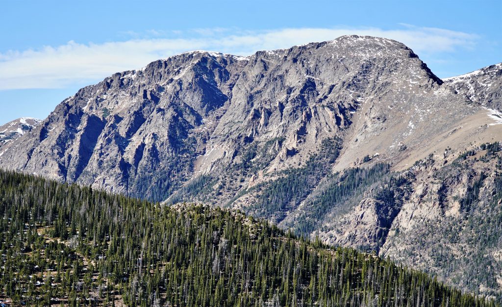
Hagues Peak tops out at 13,560 feet—the high point of the Mummy Range and Larimer County, and one of the park’s loftier summits. It’s a remote, rewarding objective for strong hikers who like their miles long and their summits earned. Expect a big day on trail to high tundra, then a hands-on finish over talus and short scrambling moves.

Named for geologist Arnold Hague, the mountain sits amid glacial cirques and rugged crystalline rock—classic Rocky Mountain scenery with very few crowds.

Standard Route: Lawn Lake Trailhead → The Saddle → Hagues

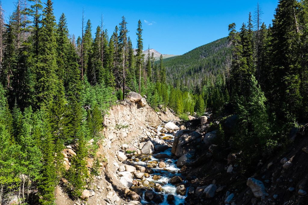
Most parties start at the Lawn Lake Trailhead. You’ll follow excellent trail up the Roaring River valley (the erosional scar from the 1982 Lawn Lake Dam failure is still visible), then cruise past the Lawn Lake area to a signed split for “The Saddle.” From The Saddle (around 12,300 feet), the character shifts: tundra yields to talus, and you’ll make a mostly Class 2 ascent trending toward Class 3 as you near the summit. If you stick right on the crest, you may encounter a few short Class 4 moves; many climbers keep things mellower by favoring lines from the south/southeast and avoiding the sheer southwest cliffs.

An alternative finish after the Crystal Lake split uses a steep, grassy ramp to the Hagues–Mummy saddle, then a pleasant boulder hop to the summit. However you slice it, there’s no built trail above The Saddle—cairns come and go—so give yourself time and keep your eyes open.

Other Approaches and Linkups

  • Chapin Pass Trailhead (Old Fall River Road) sets up ridge travel and popular traverses like the “Mummy Mania” linkup (Chapin → Chiquita → Ypsilon → Fairchild → Hagues → Mummy). It’s an aesthetic but very strenuous day, and the road has seasonal access.
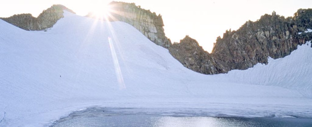
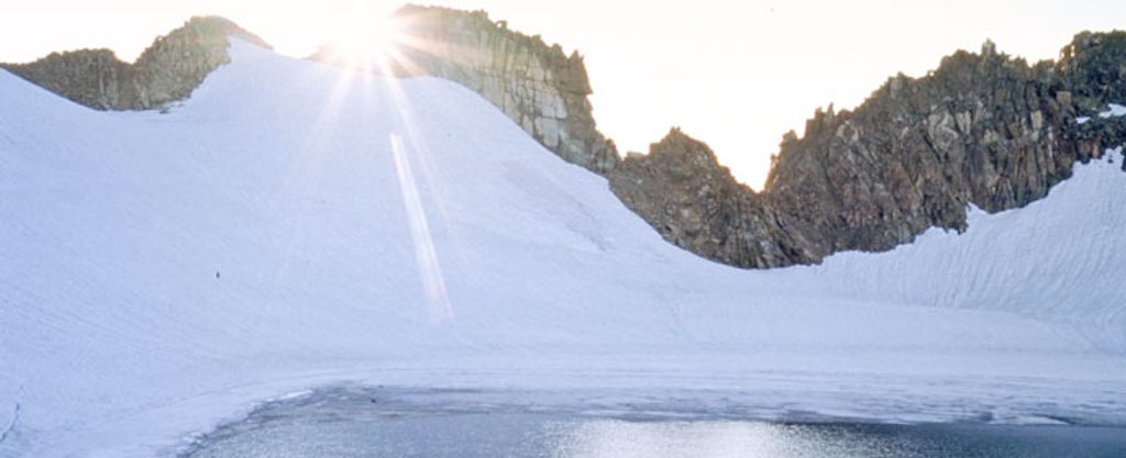
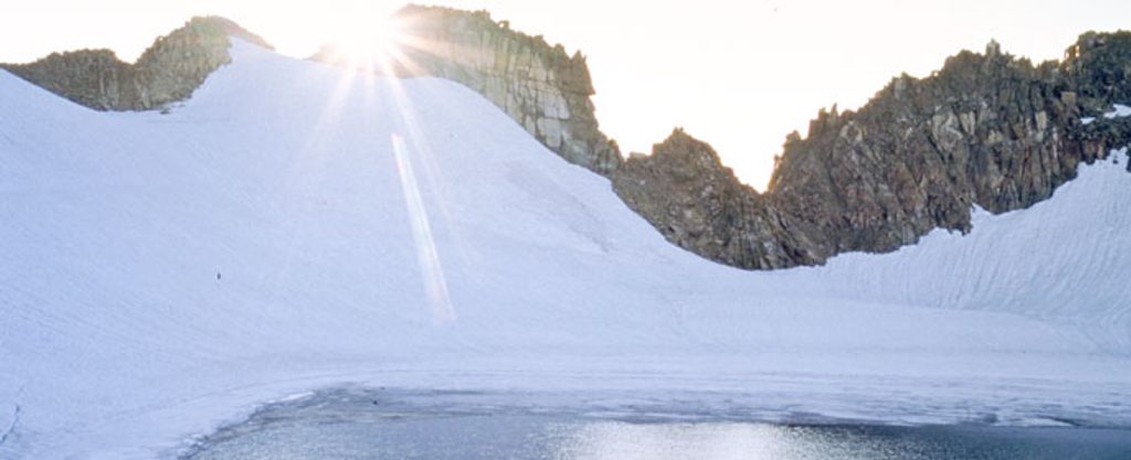
  • Strong parties sometimes tag nearby Rowe Peak from Hagues by dipping into the Rowe Glacier basin. Snow and ice can linger late—choose conditions carefully and plan extra time.

What You’ll See

From Hagues, the views run wild—Longs Peak to the south, the serrated Mummy crest close at hand, and deep glacial basins below. The approach crosses alpine tundra studded with wildflowers in season, and bighorn sheep are sometimes spotted near the road on the way to the trailhead. Above treeline, you’re in true high country: cirques, U-shaped valleys, and remnants of Pleistocene ice shape the landscape.

Difficulty, Conditions, and Safety

  • Stats: Plan on a big outing—roughly just over 20 miles round-trip from Lawn Lake with about 5,000 feet of net gain. If you add neighboring peaks, expect even more.
  • Terrain: Trail hiking to high tundra, then talus with Class 2–3 scrambling (short Class 4 if you stay ridge-direct). A helmet is a smart call for the summit block due to loose rock.
  • Seasonal factors: Snowfields can persist into summer on saddles and in shaded drainages; traction and an ice axe may be prudent early season. Weather builds fast up high—start pre-dawn and aim to be off the summit before noon.

Logistics and Regulations

  • Trailheads: Lawn Lake and Chapin Pass are the typical gateways; amenities are minimal. Assume no toilets on-trail and plan accordingly. Old Fall River Road (for Chapin Pass) is seasonal.
  • Park rules: Entry fee required. Pets are prohibited on park trails. Backcountry camping is allowed only in designated, permitted sites.

Best Time to Visit

  • Season: Summer is prime. Early season may still hold snow on saddles and in the Rowe basin.
  • Timing: Start before sunrise for firm snow, calmer winds, emptier trails, and to dodge routine afternoon thunderstorms.
  • Crowds and light: Weekdays see fewer people; morning light is best for the Roaring River valley and east-facing cirques.

Pros

  • Highest summit in the Mummy Range with sweeping alpine views
  • Classic long approach capped by engaging Class 2–3 scrambling

Cons

  • Very long, strenuous day with big elevation gain
  • Final route is off-trail talus with route-finding and loose rock

Tips

  • Start pre-dawn to be off the summit before typical midday storms.
  • From The Saddle, avoid the southwest cliffs; favor south or southeast lines for safer scrambling.
  • Expect lingering snow into early summer on saddles and drainages—carry traction and an axe if conditions warrant.
  • A helmet helps manage loose rock near the summit block.
  • Chapin Pass access is seasonal via Old Fall River Road; confirm road status and consider a car shuttle for ridge linkups.
The Parkwolf tour guide sitting on a phone mounted in a car

Parkwolf Tour Guide

Like a tour guide in your car.

Save the places you found around Rocky Mountain, then let Parkwolf guide the drive between them.Download Parkwolf on the App Store