
Place · 0.5 mi away
Rowe Mountain (13,184 ft) sits in the Mummy Range and is an unranked 13er about half a mile north of Rowe Peak and roughly 300 feet lower. It’s a remote, windswept summit with big alpine views and very few hikers once you leave maintained trails. Expect a committing day in true backcountry terrain.
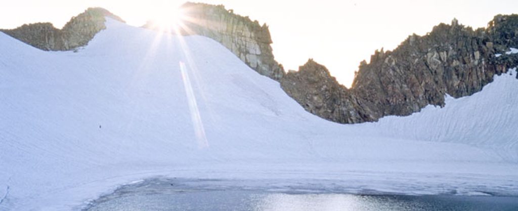
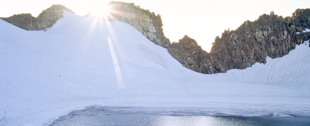
Most parties start from the Lawn Lake Trailhead, make the long approach toward the Fairchild–Hagues saddle, then climb Hagues Peak. From Hagues, the classic line avoids the technical, glaciated Hagues–Rowe ridge by dropping into the Rowe Glacier basin, skirting the east side of Rowe Glacier Lake (around 13,100 ft), then ascending to Rowe Peak on Class 2 terrain. From Rowe Peak, it’s a pleasant, mostly Class 2 ridge walk of roughly 0.5 mile to Rowe Mountain.
A strong day out can tally close to 20 miles round-trip with big vertical. One documented outing clocked 19.5 miles with a fast solo pace, so plan conservatively if traveling as a group or with early-season snow.
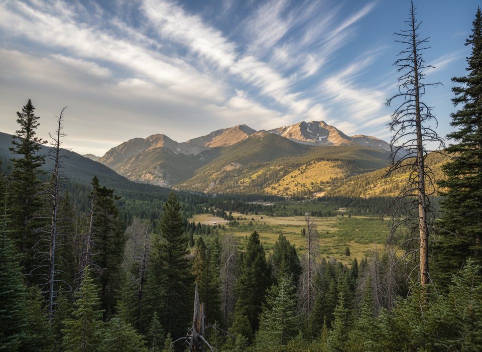
The Rowe Glacier basin is one of the park’s stark, beautiful alpine bowls, and Rowe Glacier Lake is often cited as the highest lake in the park. The ridge stroll from Rowe Peak to Rowe Mountain is a surprisingly mellow capstone after the big approach, with far-reaching views over the Mummy Range.
You’ll pass through a valley shaped by the 1982 Lawn Lake Dam failure—the Roaring River corridor still shows scouring from that event. Underfoot, the Mummy Range here is dominated by gneiss and granite, lending sturdy, blocky scrambling near Hagues and rubble-strewn alpine slopes around Rowe.
Once off the main trails, this corner of the Mummies feels rugged and empty. In the alpine, keep an eye (and ear) out for marmots and pikas, and give any larger wildlife a wide berth near treeline. Expect long stretches without seeing another person.
Bring sturdy boots, trekking poles, and traction if snow lingers. A helmet is smart for Hagues’ upper scrambling. Pack layers for rapidly changing weather, sun protection, ample calories, and a water filter—seasonal melt and creeks are your likely sources. There are no facilities on route; carry out all waste and navigate with a map/GPS you know how to use.
Place · 0.5 mi away
Place · 0.6 mi away
Place · 0.8 mi away
Place · 2.1 mi away
Easy · 6 mi away
Challenging · 6.1 mi away
Challenging · 6.1 mi away
Challenging · 6.1 mi away

Parkwolf Tour Guide
