
Place · 0.1 mi away
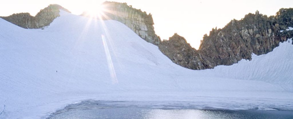
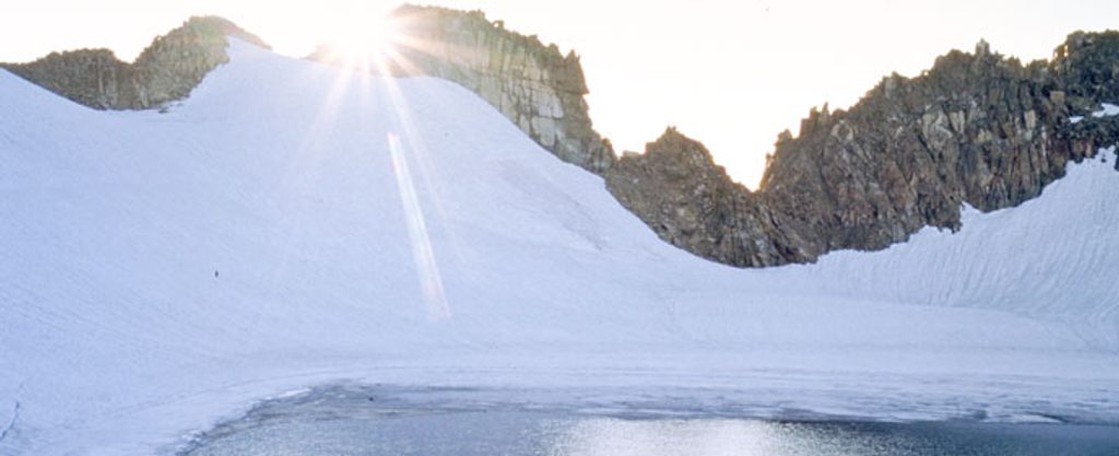
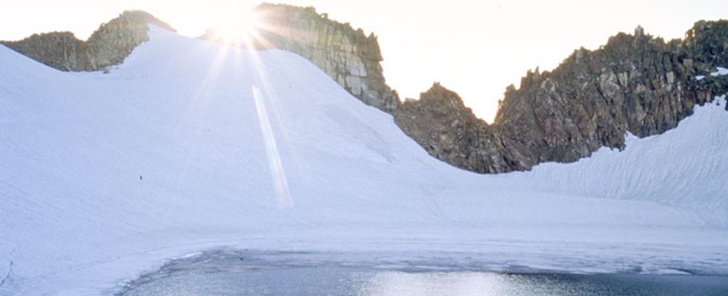
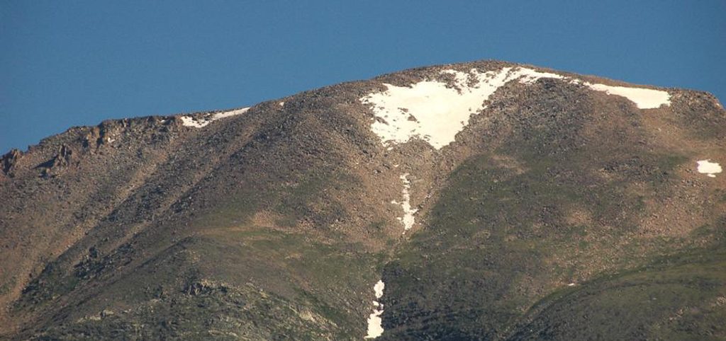
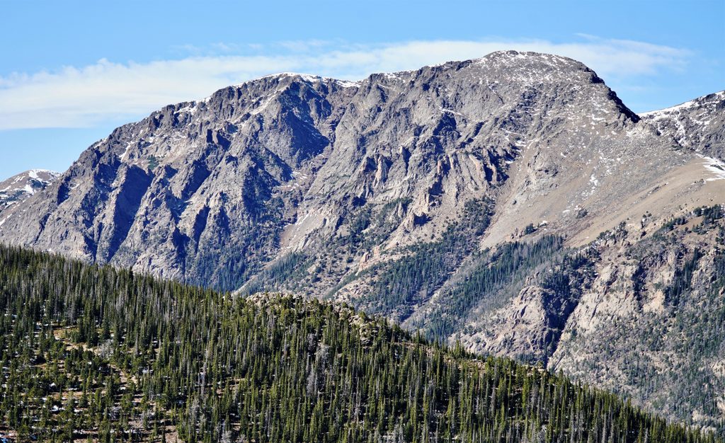
Rowe Peak tops out at 13,404 feet in the park’s Mummy Range, sitting among a cluster of big, high-country summits. You’re here for wide-open alpine views: the crevassed remnant of Rowe Glacier, the serrated ridge toward Hagues Peak, and the stark cirque cradling Rowe Glacier Lake (the park’s highest lake at roughly 13,100 feet). It’s a remote, committed outing that feels like true alpine—more about terrain and weather than wayfinding signs.
There isn’t a single, short “Rowe Peak trail.” Strong hikers often fold Rowe into a big day from the Lawn Lake Trailhead—tagging Hagues, dropping to Rowe Glacier Lake, then climbing Rowe Peak and sometimes continuing to Rowe Mountain. Expect on the order of 19–20 miles with 7,000+ feet of cumulative gain, and stretches of Class 2–3 talus and light scrambling. An approach from the Icefield Pass side is more direct and largely a valley walk—less dramatic underfoot but with stellar glacier and ridge views.
Rowe sits roughly equidistant from three trailheads, none of them "close": Lawn Lake TH (inside the park), Chapin Creek TH off Old Fall River Road, and Emmaline Lake TH from the Comanche Peak Wilderness side. Old Fall River Road is one-way uphill and closes seasonally; Trail Ridge Road closures can also affect access. There’s no special permit to climb Rowe, but standard park entrance fees apply if you start inside the park. Camping in the park requires designated sites and a permit; regulations differ outside the park. During the main season (roughly late May through mid-October), timed-entry reservations can be required during certain hours—plan your start around that window.
The peak and surrounding cirque are built mostly of gneiss and granite—classic, durable Rockies bedrock that breaks into talus and blocks, explaining the scrambly feel. Rowe Glacier is one of only a handful of true glaciers in the park. It was noted in 1880 by homesteader Israel Rowe while guiding a hunt; the glacier took his name, and the peak followed suit.
For experienced hikers and scramblers, Rowe Peak is an underrated corner of the park’s high alpine. Linking Hagues → Rowe Glacier Lake → Rowe Peak along the crest gives you glacier views, airy ridgelines, and a deep sense of scale that rivals better-known summits—without the crowds.
Mid to late summer into early fall is the sweet spot, when seasonal roads are open and snow coverage recedes. Start pre-dawn for the big mileage and to bank time if you’re tagging multiple summits. Expect frequent high winds (40+ mph isn’t unusual) and rapidly changing conditions even on “good” forecasts; shoulder seasons amplify the risk. If timed-entry is in effect, book an early slot or start from outside the controlled hours.
Place · 0.1 mi away
Place · 0.4 mi away
Place · 0.5 mi away
Place · 1.8 mi away
Easy · 5.6 mi away
Moderate · 5.8 mi away
Moderate · 5.8 mi away
Challenging · 5.9 mi away

Parkwolf Tour Guide
