
Place · 0.2 mi away
Challenging
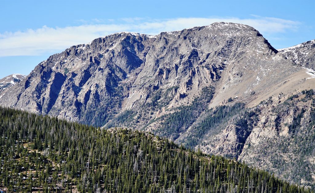
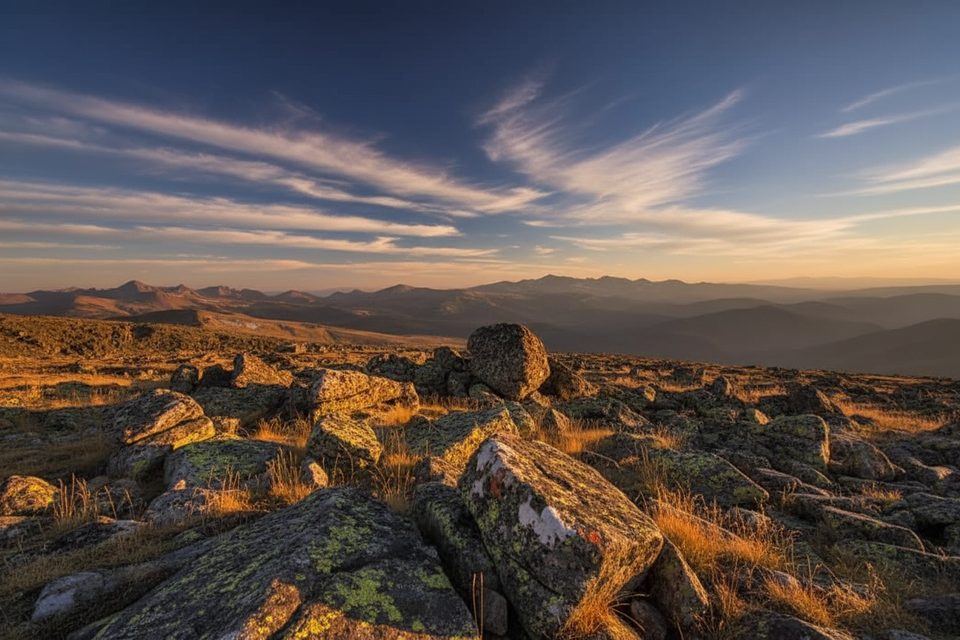
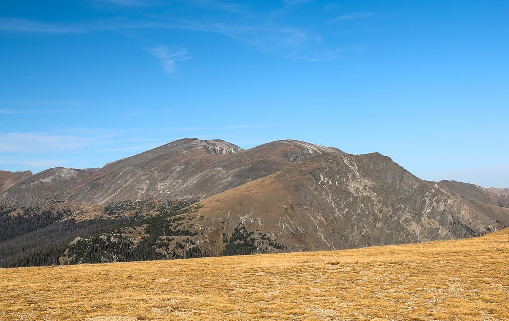
Mount Chapin serves up a quick alpine summit with oversized views. The standard out-and-back route is about 4.0 miles total with roughly 1,473 feet of gain, topping out around 12,455 feet. Expect a brisk climb that pops above treeline early, a few short scree/talus sections, and big, wind-swept vistas that make the effort worth it in a half-day.
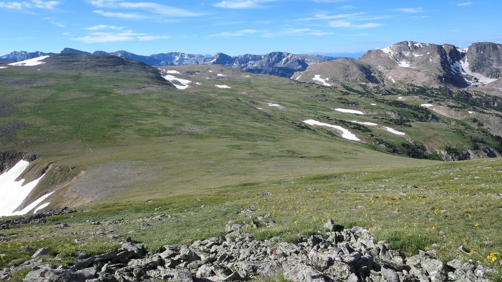
From just below treeline, the path climbs steadily through tundra meadows toward Chapin’s ridges. The grade steepens as you approach the mountain, with brief, loose sections that reward careful footwork. Typical alpine wildlife sightings include elk and marmots, and in season the tundra wildflowers are a highlight. Most hikers take 2.5–3 hours total, but altitude will make it feel harder than the numbers suggest.
Start from the Chapin Creek Trailhead on Old Fall River Road. Early on (around 0.1 mile) turn right toward the Chapin/Chiquita/Ypsilon route; a second signed split near 0.6–0.7 mile points right for “all summits.” Traverse talus toward the Chapin–Chiquita saddle; an unmarked spur near ~1.7 miles heads about 0.3 mile and ~400 feet up to Chapin’s summit. Stay on established tread where it exists to protect fragile tundra.
If you’re feeling strong and prepared, the Chapin–Chiquita–Ypsilon link-up is a classic. Plan for roughly 8.4 miles round-trip and about 3,458 feet of gain, with long stretches off the official trail, Class 2 talus, and sustained exposure to weather. Navigation is more involved; download an offline map. Many hikers use a cairned social path to bypass a reclimb of Chiquita on the return. Ypsilon is generally the crux of the trio.
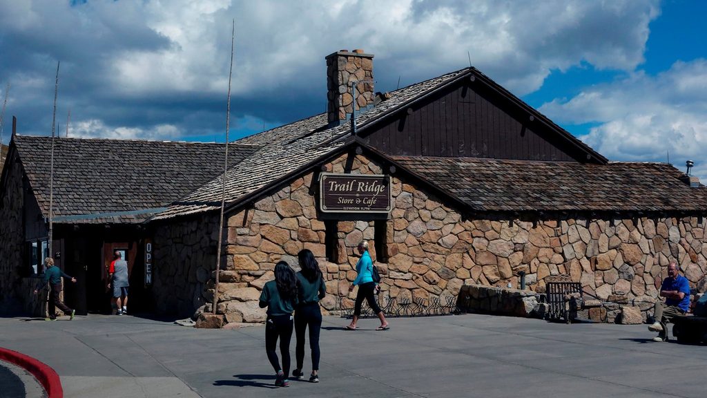
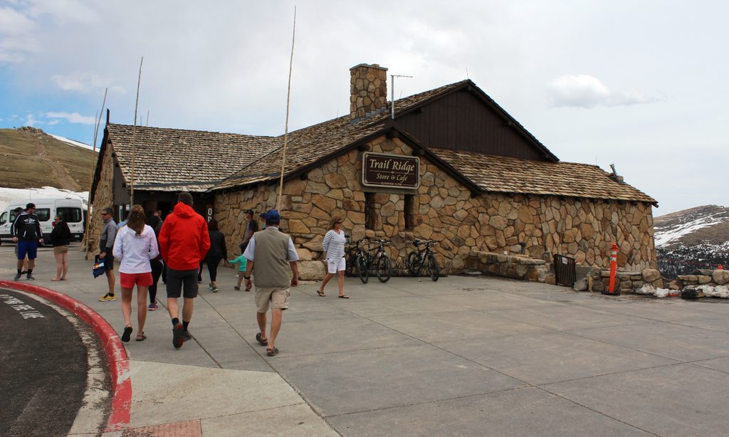
Old Fall River Road is one-way (east to west). Approach via Endovalley, and don’t count on park shuttles to get you here. Parking is limited roadside at the Chapin Creek pullouts (roughly a dozen spots); arrive early in peak season. After your hike, you’re not far from the Alpine Visitor Center if you continue up the road.
Late June through September is the reliable window, though snow can linger. Start early: storms tend to build by early afternoon, and this route spends most of its time above treeline. Mornings offer calmer winds, better light, and the best chance at a parking spot. Even in midsummer, expect it to feel cold and windy up high.
You’re operating between ~10,000 and 12,455 feet—acclimate if you’re coming from low elevation, hydrate, and pace yourself. Bring layers (including wind and rain protection), sun coverage, and sturdy footwear for scree. Turn back if clouds build or you hear thunder; ridges and summits are no place to wait out a storm. A park pass is required, dogs aren’t allowed on trails, and Leave No Trace is critical on fragile alpine tundra.
Chapin Creek Trailhead on one-way Old Fall River Road (approach from the east via Endovalley). Limited roadside pullouts (~12–15 spots); arrive early. No shuttle service; road is seasonal. Afterward you’re near the Alpine Visitor Center if continuing up the road.
High altitude and long above-treeline exposure with rapidly changing weather and lightning; short scree/talus stretches; one-way, seasonal road access; download maps if attempting the multi-peak extension.
Place · 0.2 mi away
Place · 1.3 mi away
Place · 1.3 mi away
Place · 1.4 mi away
Challenging · 0 mi away
Challenging · 0 mi away
Challenging · 0 mi away
Easy · 1.3 mi away

Parkwolf Tour Guide
