
Place · 0.1 mi away
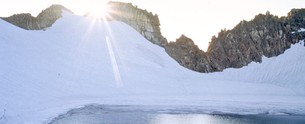
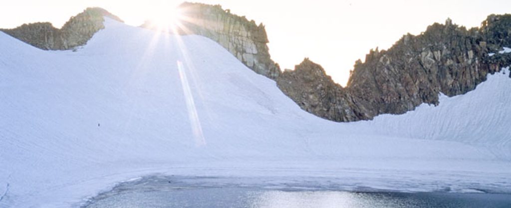
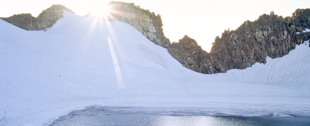
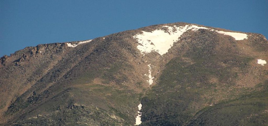
Rowe Glacier sits high in the Mummy Range between Hagues Peak and Rowe Peak, a stark, wind-scoured cirque where you can see glacial geology up close—headwalls, moraines, the whole U‑shaped‑valley toolkit. It’s one of the park’s small “true” glaciers, a shrinking remnant that responds quickly to summer warmth. Just below it lies Rowe Glacier Lake around 13,100 feet, often cited as the highest lake in the park.
This basin feels far-flung and quiet compared to the park’s marquee areas. You get big alpine scenery, sweeping views to neighboring 13ers, and textbook glacial features carved into ancient gneiss and granite. If you want to see how ice sculpted the Rockies, this is a living classroom.
There’s no direct trail to the ice. Most hikers come in from the Lawn Lake Trailhead on the Fall River side, following good trail to Lawn Lake before tackling rougher, higher terrain toward Rowe Glacier Lake and the glacier. Expect a very long day: Lawn Lake alone is roughly 12–13 miles round-trip, and the glacier adds several miles plus significant gain on talus and tundra. Strong parties sometimes link nearby summits (Hagues, Rowe Peak) into a big loop day. Other approaches exist seasonally from Chapin Creek (Old Fall River Road) or from the north via the Emmaline Lake Trailhead on the National Forest side.
Mostly Class 2 travel over alpine tundra, talus, and boulderfields, with occasional short Class 3 moves if you tag nearby peaks. Off-trail navigation around the lake and glacier margin is standard. Snowfields often linger into mid-summer; light traction and an ice axe can be prudent depending on conditions. Give cornice edges and undermined snow a wide berth.
Best window is roughly July through September. Earlier in the season you’ll encounter more snow and meltwater; in summer, plan for routine afternoon thunderstorms—start early and aim to be off ridgelines by early afternoon. Access via Old Fall River Road (for the Chapin Creek start) is summer-only and weather dependent. Like other small glaciers here, Rowe has been on a long-term shrinking trend, and snow/ice coverage varies year to year.
If you start from within the park (Lawn Lake or Chapin Creek), you’ll pay the standard entrance fee. Backcountry camping in RMNP is by permit at designated sites only; approaching from the Comanche Peak Wilderness follows National Forest rules. At the Lawn Lake Trailhead you’ll find vault toilets but no potable water, no shuttle, and parking that can fill very early on summer weekends. Cell service is spotty to nonexistent. During the main season, the park’s timed-entry system typically applies to general access during midday hours.
Aim for mid-summer weekdays with a pre-dawn start: cooler temps, a better shot at parking, and a safer weather window. Morning light is best for views into the basin before convection builds.
Altitude, distance, and fast-changing weather are the big hazards—carry layers, sun protection, extra food/water, and solid navigation. Treat all water. The tundra is fragile—stick to durable surfaces and practice Leave No Trace.
Place · 0.1 mi away
Place · 0.3 mi away
Place · 0.6 mi away
Place · 1.7 mi away
Easy · 5.5 mi away
Moderate · 5.7 mi away
Moderate · 5.7 mi away
Challenging · 5.8 mi away

Parkwolf Tour Guide
