Parking
Begin at Glacier Gorge Junction Trailhead on Bear Lake Road; this is the access for the full out-and-back route.

Rocky Mountain National Park, CO
A long, rocky climb to the broad saddle below Longs Peak.
Overview
Map & elevation
Plan your hike

The highest, rockiest slopes around here are a summer buffet for grizzly bears.
Rocky Mountain Tour Guide
Parkwolf is a GPS audio tour guide for Rocky Mountain National Park. As you drive, it chimes in with what’s ahead: hidden gems, upcoming stops, history, geology, and wildlife, right through your car’s speakers.
See the Rocky Mountain audio tourRecorded for this trailhead
Glacier Gorge and Alberta Falls“The Glacier Gorge trailhead is coming up, the starting point for Alberta Falls.”
Plays as you drive up to this trailhead in the Parkwolf Rocky Mountain Tour Guide.
More stories near here in the app
“…No cell service for majority of the day but had continuous access to the app - the maps, the tour guide as you drive is amazing. Highly recommend purchasing the subscription.”


Trail guide
North Longs Peak Trail to Granite Pass is a high-country out-and-back from Glacier Gorge Junction Trailhead. The full route is about 13.6 miles round trip, including the approach to the named North Longs Peak segment and the return along the same trail. It climbs about 3,200 feet to Granite Pass at 12,081 feet. Allow 10 to 12 hours. This is a very strenuous day at altitude; the pass is the endpoint here, not the Longs Peak summit.
Follow Glacier Gorge Trail from the trailhead to the North Longs junction. The named segment crosses Glacier Creek on a high bridge, then heads toward Boulder Brook through forest. Views open across Glacier Gorge to Flattop and Hallett peaks and the Mummy Range. On the first open stretches, include a little trail in the foreground to show the scale of the valley.
Past Boulder Brook, long, steep switchbacks climb through thinning forest. Above treeline the grade steepens, and the last roughly 1.5 miles cross jumbled rock to the pass. This is slow, careful footing, not a smooth path; the altitude adds to the effort. Keep following the established line across the rock rather than cutting between switchbacks.
The trail ends on the broad saddle at Granite Pass, where it meets the Longs Peak Keyhole route. Stop here for this hike. Continuing toward the Keyhole or summit is a separate, more technical mountain objective and adds substantial commitment.
The trailhead sits at 9,240 feet. No food or potable water is listed along the route, so carry what you need for a long day. Dogs are not allowed on park trails. The high route is exposed to lightning and fast-changing mountain weather; colder periods can bring ice and rockfall. Start early and keep a firm turnaround plan.
Wildlife
 3,124 sightingsElkMost seen around 6 PMSighting map
 1,601 sightingsMooseMost seen around 7 PMSighting map
 19 sightingsMountain GoatMost seen around 7 AMSighting map
 19 sightingsBald EagleMost seen around 8 AMSighting map
 30 sightingsGolden EagleMost seen around 10 AMSighting map
 270 sightingsBighorn SheepMost seen around 11 AMSighting map
Sighting maps show where each species has been reported across Rocky Mountain. Wildlife moves, so no sighting is guaranteed.
Keep exploring
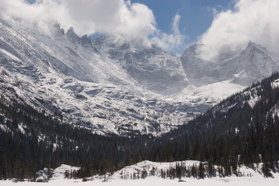 ModerateMills Lake Trail5.4 mi · 3.5 hr · At the trailheadAlberta Falls breaks up the climb to Mills Lake.
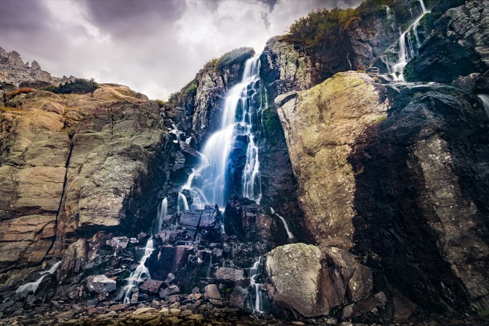 ChallengingTimberline Falls Trail7.6 mi · 6 hr · At the trailheadA long waterfall hike with The Loch along the way.
 ChallengingSky Pond Trail9 mi · 7 hr · At the trailheadClimb past two lakes to a high basin under granite spires.
 EasyAlberta Falls Trail1.7 mi · 1.5 hr · At the trailheadA short climb trades a little effort for a close waterfall view.
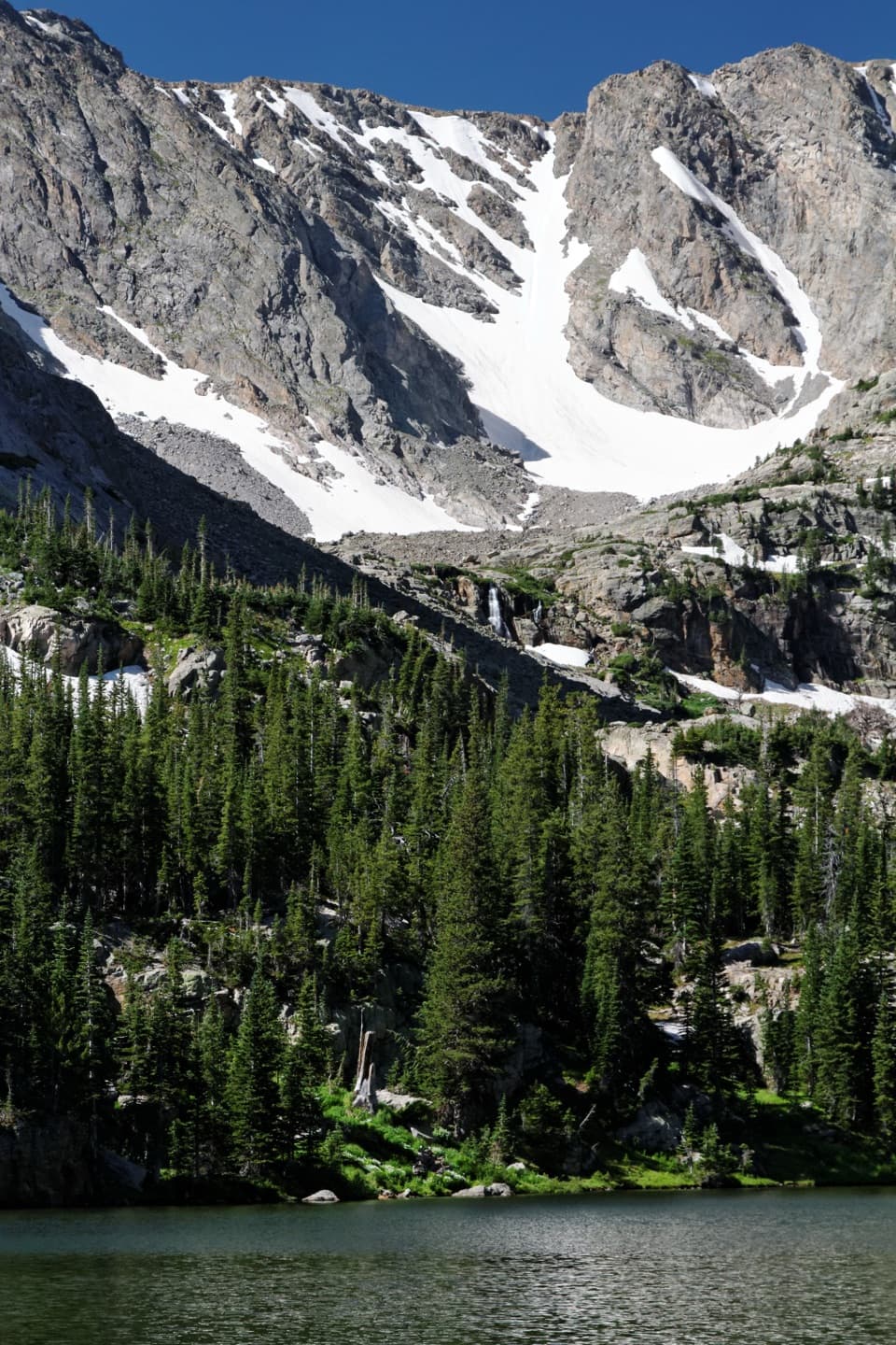 ModerateThe Loch Trail6 mi · 3.5 hr · At the trailheadA waterfall break before a high lake beneath Taylor Glacier.
 ChallengingBlack Lake Trail9.6 mi · 7 hr · At the trailheadWaterfalls, two lakes, then a high cirque beneath McHenrys Peak.
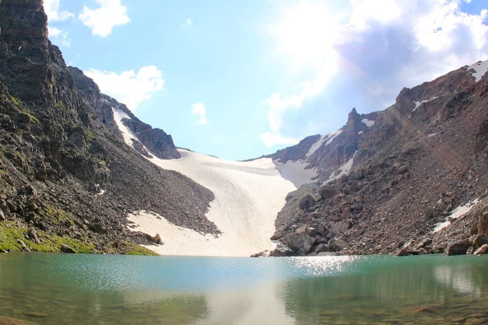 ChallengingAndrews Tarn Trail9.1 mi · 7 hr · At the trailheadA rough high-country climb ends at a tarn beneath Andrews Glacier.
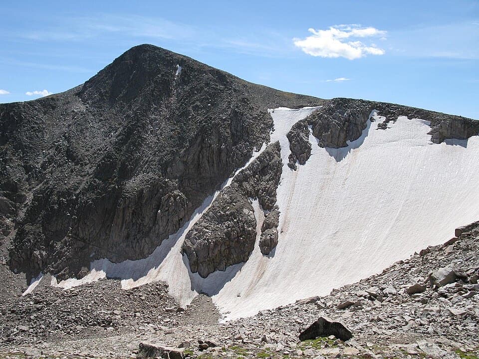 ChallengingHallett Peak Trail10.3 mi · 7.5 hr · 0.3 mi awayA long summit day with a faint, rocky Class 2 finish.
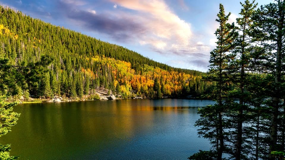 Sight · 0.5 mi awayBear LakeA classic alpine lake, with Hallett Peak just beyond the shore.Sight · 0.5 mi awayAlberta FallsA short, uphill hike ends at a thunderous waterfall.
 Sight · 0.6 mi awayNymph LakeA short uphill walk to summer lily pads and mountain views.
 Sight · 1 mi awayDream LakeA mile from Bear Lake, Hallett Peak fills the skyline.
 Sight · 1.2 mi awayLake HaiyahaA mountain lake tinted green by a 2022 rockslide.
 Sight · 1.4 mi awayBierstadt LakeMountain reflections reward the steep walk in.
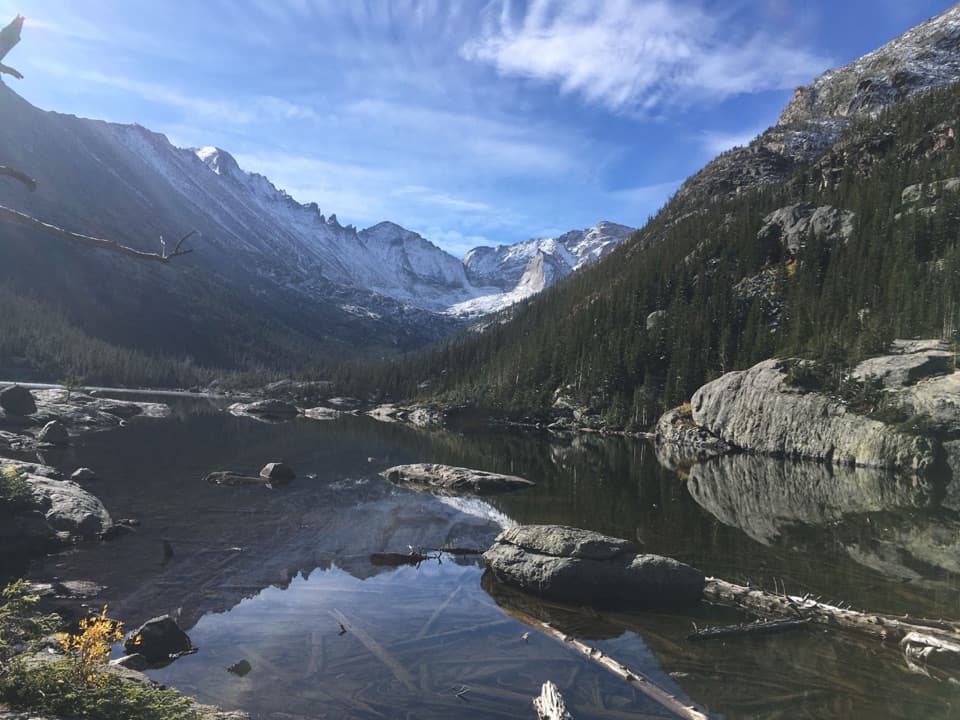 Sight · 1.4 mi awayMills LakeA ten-acre glacier-carved lake beneath the peaks of Glacier Gorge.
 Sight · 1.5 mi awayEmerald LakeThree lakes in, the trail ends beneath steep mountain walls.
Parkwolf’s Rocky Mountain ranking

The audio tour guide for the drive, plus offline maps, trails, and wildlife heatmaps for when the signal drops.



