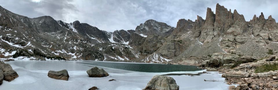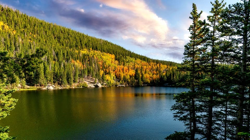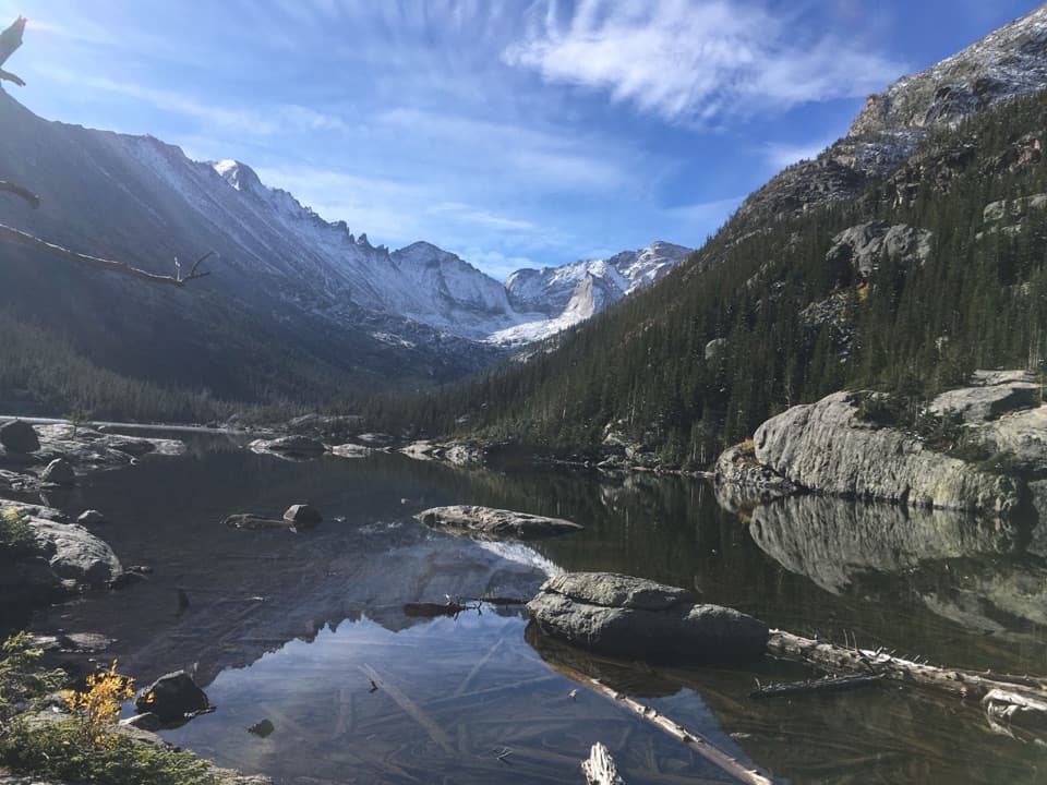
Mills Lake in Rocky Mountain National Park

Sight · Rocky Mountain National Park

Mills Lake

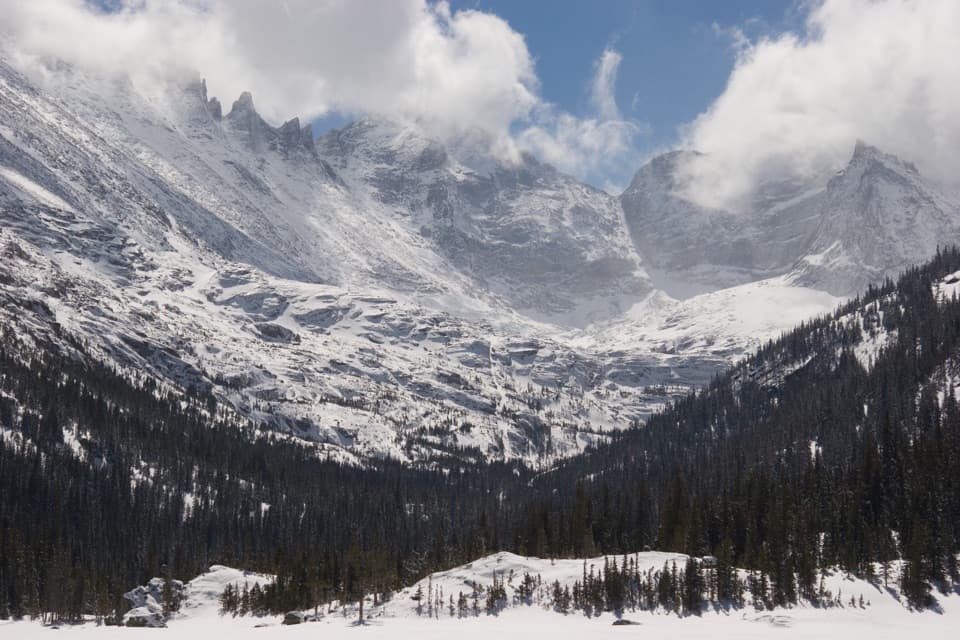
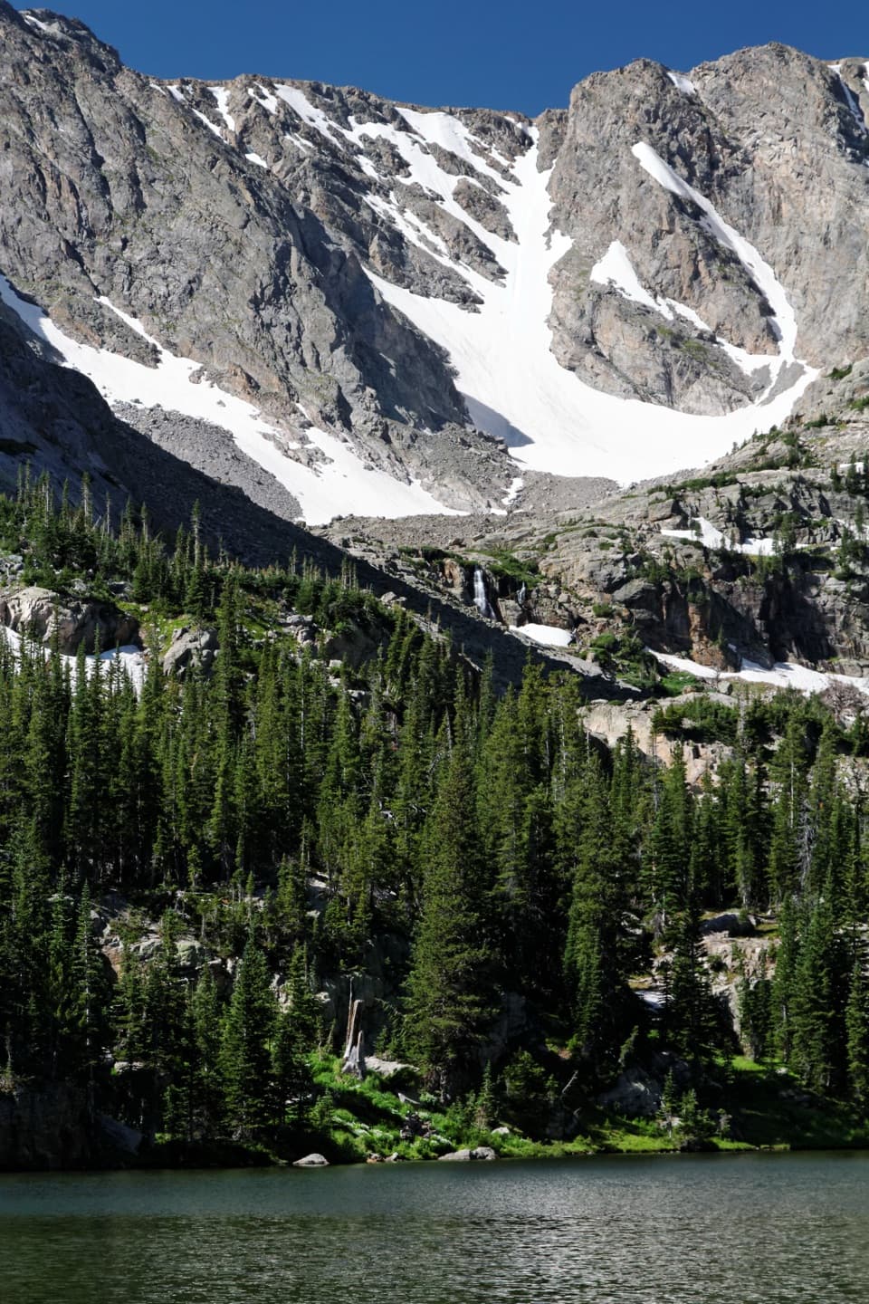
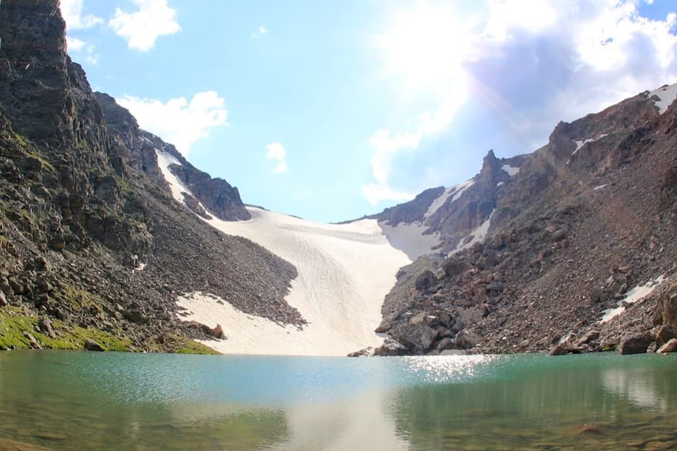
A ten-acre glacier-carved lake beneath the peaks of Glacier Gorge.

Photo: Public Domain
Type
Sight
Nearest trail
1.4 mi
Audio stories
2 nearby
  • Scenic viewpoint
  • #23 of 64 sights

Hear the audio tour

Glacier Gorge and Alberta Falls

Overview

About Mills Lake

Why stop

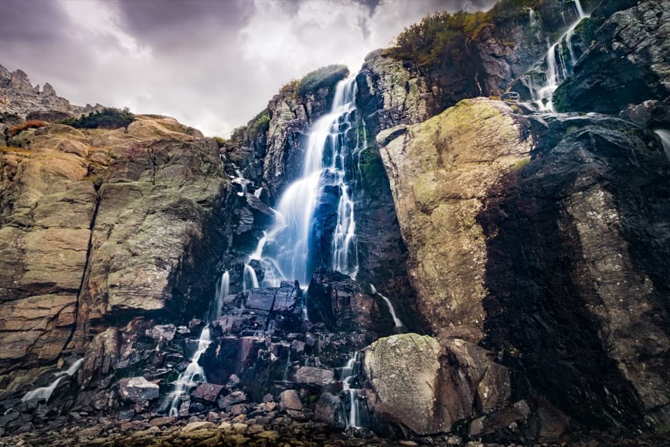
  • Alberta Falls and Glacier Falls add two waterfall stops on the approach.
  • The rocky shore frames a panorama of high peaks.

Heads up

  • The 5.3-mile round trip includes about 780 feet of climbing.

Map

Where it is

Loading the Rocky Mountain map
Full map
SightMills Lake40.28981, -105.64183
Keep this map with you offline in the Parkwolf app

Plan your stop

Before you go

3 active Rocky Mountain alerts

  • ClosureOld Fall River Road closed to vehiclesOld Fall River Road is closed to motor vehicles for the season.Official details
  • ClosureSun Valley burn-area access remains closedThe area and trail west of Sun Valley Trail remain closed, including the route used for angler access to the Colorado River, because of impacts from the 2020 East Troublesome and Cameron Peak Fires;…Official details

See all 3 alerts
A park ranger sits on a dash-mounted phone, talking, as Parkwolf’s Tour Guide plays “Army Cutworm Moths: A Grizzly Bear Buffet” on Grand Loop Road below Dunraven Pass in Yellowstone
Parkwolf Tour GuideThe highest, rockiest slopes around here are a summer buffet for grizzly bears.

Rocky Mountain Tour Guide

Your drive to Mills Lake, narrated.

Parkwolf is a GPS audio tour guide for Rocky Mountain National Park. As you drive, it chimes in with what’s ahead: hidden gems, upcoming stops, history, geology, and wildlife, right through your car’s speakers.

See the Rocky Mountain audio tour

Recorded for this place

Glacier Gorge and Alberta Falls
0:00 / 0:25
“The Glacier Gorge trailhead is coming up, the starting point for Alberta Falls.”

Plays as you drive up to Mills Lake in the Parkwolf Rocky Mountain Tour Guide.

More stories near here in the app

  • Bear Lake and a Shorter Mountain Walk
  • Bierstadt Lake: The Climb and the Far Shore
  • Storm Pass Trailhead: Boulder Brook Loop
  • Sprague Lake: An Easy Shoreline Stop
  • 79 audio storiesacross Rocky Mountain’s roads, triggered by GPS as you drive
  • Wildlife heatmapsfor Elk, Moose, Mountain Goat, and 13 more
  • Works offlinemaps, 136 trails, 88 places, and audio download before you lose signal
  • CarPlay readysimple controls built for the drive
★★★★★
“…No cell service for majority of the day but had continuous access to the app - the maps, the tour guide as you drive is amazing. Highly recommend purchasing the subscription.”
jkatnerApp Store review
Download Parkwolf on the App StoreGet Parkwolf on Google Play

4.7 from 8,600+ ratings

Guide

More about Mills Lake

A hike to the lakeMills Lake is a 10-acre lake tucked into Glacier Gorge, with a rocky shoreline and steep peaks…

Mills Lake is a 10-acre lake tucked into Glacier Gorge, with a rocky shoreline and steep peaks around it. From Glacier Gorge Trailhead, plan on about 5.3 miles round trip and roughly 780 feet of climbing. It makes a satisfying destination when you want the trail itself to be part of the day, with waterfalls and creek crossings before the lake.

Waterfalls on the way inAlberta Falls comes early, just over 0.8 mile from the trailhead.

Alberta Falls comes early, just over 0.8 mile from the trailhead. It's a 30-foot cascade named for Alberta Sprague, wife of early Estes Park settler Abner Sprague. Farther along, a short side path near Glacier Creek leads to Glacier Falls. The path continues around the lake’s eastern side, and Jewel Lake is another half mile beyond if you want to extend the walk.

The eastern shore and the high peaksThe rocky eastern shore opens toward the Keyboard of the Winds, Pagoda Mountain, Chiefs Head…

The rocky eastern shore opens toward the Keyboard of the Winds, Pagoda Mountain, Chiefs Head Peak and Thatchtop. It's a good place to pause over a picnic and take in the granite walls around the water. For a photo, leave some shoreline rock in the foreground to give the distant peaks scale; when the water is calm, it can catch their reflection.

A basin shaped by iceThe lake sits in a basin scooped from solid rock by the glacier that once filled Glacier Gorge.

The lake sits in a basin scooped from solid rock by the glacier that once filled Glacier Gorge. Its steep walls make the valley’s glacial shape easy to see.

A name connected to the park’s beginningThe lake is named for Enos Mills, a naturalist and guide who campaigned for the park’s creation.

The lake is named for Enos Mills, a naturalist and guide who campaigned for the park’s creation. He lectured, wrote and lobbied for the effort; the park was established in 1915. The name links this high basin to one of the people who helped protect the wider landscape.

Check conditions before setting outGlacier Gorge Trailhead is on Bear Lake Road, and the lake is reached on foot.

Glacier Gorge Trailhead is on Bear Lake Road, and the lake is reached on foot. Snow or ice can affect high-elevation trails in any season, so check current trail conditions before leaving. The latest report is a snapshot, especially when weather is changing.

Wildlife

Wildlife in Rocky Mountain

All Rocky Mountain wildlife maps

Sighting maps show where each species has been reported across Rocky Mountain. Wildlife moves, so no sighting is guaranteed.

Keep exploring

Near Mills Lake

See it all on the map

Trails nearby

More stops nearby

Parkwolf’s Rocky Mountain ranking

Top sights in Rocky Mountain

All 88 places
  1. 1Bear LakeSight
  2. 2Emerald LakeSight
  3. 3Longs PeakSight
  4. 4Sprague LakeSight
  5. 5Dream LakeSight
  6. 6Alberta FallsSight

Take Parkwolf to Rocky Mountain.

The audio tour guide for the drive, plus offline maps, trails, and wildlife heatmaps for when the signal drops.

4.7 from 8,600+ ratings

Download Parkwolf on the App StoreGet Parkwolf on Google Play