Pros & cons
PROS
- Legit east–west connector for creative cross-park traverses
- Old-road tread near the west side makes for a fast start or finish
- Quieter, remote feel in the northern Mummy Range
CONS
- Willow thickets and boggy meadows near the pass can soak boots
- Snow can linger into June above treeline, slowing travel
From the west, reach the Emmaline Lake/Mummy Pass trailhead; the final 0.5-mile access stretch is rough, so many park before it and walk in. If you don’t have permission to start near the campus roads, use the Stormy Peaks trailhead on the east side.
Start early to avoid afternoon lightning above treeline. Expect wet, willow-choked meadows near the pass and lingering early-summer snow. Peak season timed-entry may restrict your vehicle access window. No dogs on RMNP trails; overnight camping in the park requires a permit.
Overview
If you want wide-open alpine country without the Bear Lake bustle, this is your ticket. The standard mapped version runs 21.4 miles total, out-and-back, with about 4,192 feet of gain—an all-day effort that rewards you with big tundra, long views, and a real sense of remoteness. It uses the Emmaline Lake Trail to reach the Mummy Pass Trail, then crosses into Rocky Mountain National Park for the final 1.7 miles to the pass. Expect a serious day at altitude.
Note: Segment tallies from land managers describe a shorter approach to the pass at roughly 14.4 miles round-trip. The longer 21.4-mile mapping is a commonly followed variant; plan your day based on the route you choose.
What the trail is like
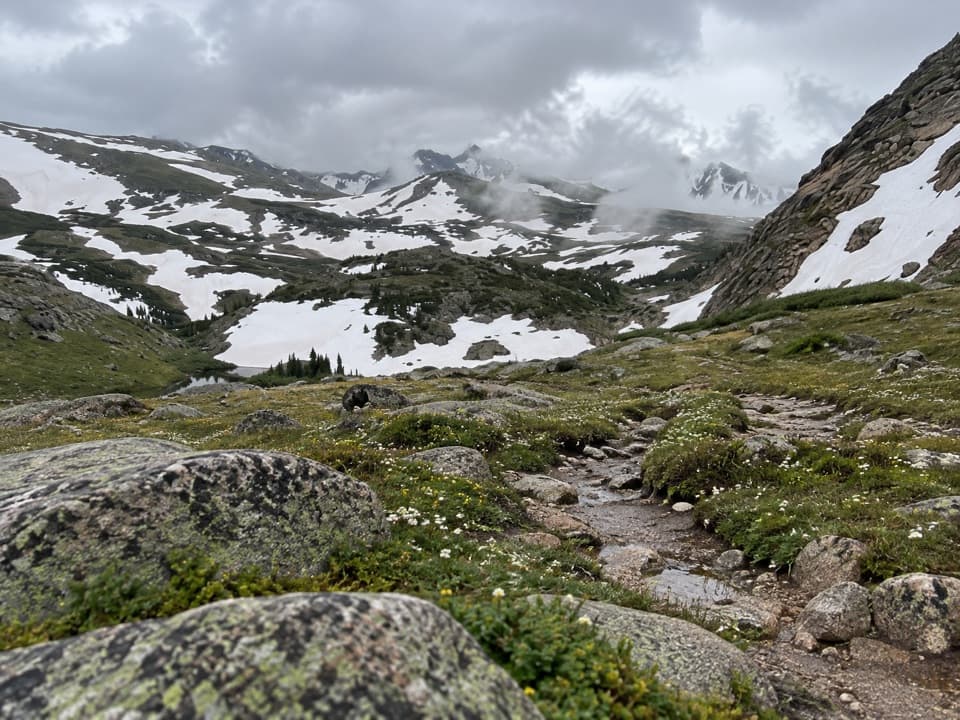
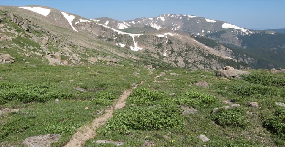
The first two miles follow a road-like tread by private land before you slip into forest, then climb above timberline toward big, rolling tundra. Near the pass, the terrain opens into classic high-country meadows with pockets of willow—beautiful, but notorious for soaking feet when the ground is wet. The pass itself sits on the boundary between the park and the Comanche Peak Wilderness, with broad sightlines toward Stormy Peaks and Skull Point.
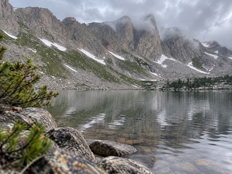
Above treeline, the landscape shows the fingerprints of past glaciation—scoured benches, cirque basins, and long U-shaped valleys carved by ancient ice in the northern Mummy Range. Keep an eye out for white-tailed ptarmigan blending into the alpine.
Route logistics and connections
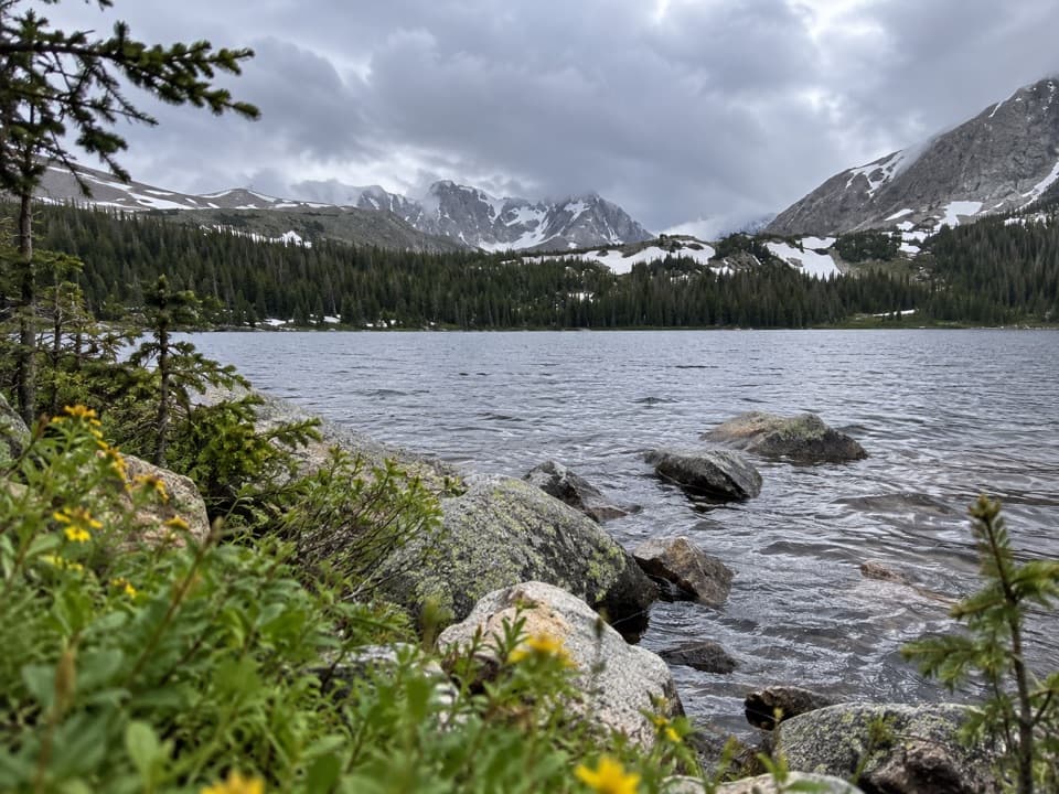
This trail is a superb east–west connector. From the west side, it ties into the Emmaline Lake/Corral Creek network toward Pingree Park; from the east, it links back to the North Fork Big Thompson and the Lost Lake area. The Emmaline Lake segment near the wilderness border follows an old roadbed—smooth, fast walking that helps on a long day. From the pass, strong parties often stitch together bigger traverses or side trips toward Mirror Lake and beyond.
Conditions and seasonality
Snow lingers above treeline into June; expect patches (or full coverage in a cold spring), and consider traction or even snowshoes in late May/early June. Summer brings classic high-country patterns: firm mornings, then fast-building afternoon thunderstorms. Start early so you’re back below treeline before the lightning machine spins up. Meadows near the pass can be boggy well into summer—plan for wet feet.
Best time to hike
July through September offer the most reliable dry tread and access, with the best light on the tundra in early morning and again toward evening (alpenglow on Stormy Peaks can be stellar). Weekdays are typically quieter. During the park’s peak season (late spring through mid-fall), timed-entry reservations are required for vehicle access during certain hours; factor that into your start window.
Practical tips
- Parking/Access: The Emmaline Lake/Mummy Pass trailhead sits up a short rough access stretch; many folks park before the roughest half-mile and walk in. If you don’t have permission to start from the nearby campus roads, use the Stormy Peaks trailhead on the east side instead.
- Regulations: No dogs on trails within the national park. No permit for day hiking; overnight stays inside the park require a backcountry permit. Lost Lake has designated camps and no fires.
- What you’ll feel: Long, steady climbing, rocky tread above treeline, and a noticeable drop in crowds compared to RMNP’s marquee areas.
Elevation
21.4 mi · 10.5 hrWildlife on this trail
Near Mummy Pass Trail
All places →All trails →
Rocky Mountain National ParkAlpine highway, glacial lakes, and big wildlife in one epic sweepVisitor Center · Scenic Viewpoint
Chasm LakeIconic alpine cirque lake under Longs Peak’s sheer Diamond wallTrailhead · Parking
Emerald LakeAlpine cirque lake beneath Hallett Peak via a photogenic hikeScenic Viewpoint
2 miles above sea levelCruise the alpine tundra two miles high on Trail Ridge RoadParking · Scenic Viewpoint
East Longs Peak TrailColorado’s classic 14er climb via the Keyhole—serious Class 3Challenging · 14 mi · 12 hr
Emerald Lake TrailThree alpine lakes and dramatic peaks in a short, rewarding climbModerate · 3.6 mi · 1.6 hr
Glacier Gorge TrailWaterfalls to alpine lakes, with choose-your-own-adventure finalesModerate · 5.4 mi · 2.7 hr
Flattop Mountain TrailSteady climb to the Continental Divide with huge alpine viewsChallenging · 8.8 mi · 5.5 hr