Place · 1.5 mi away

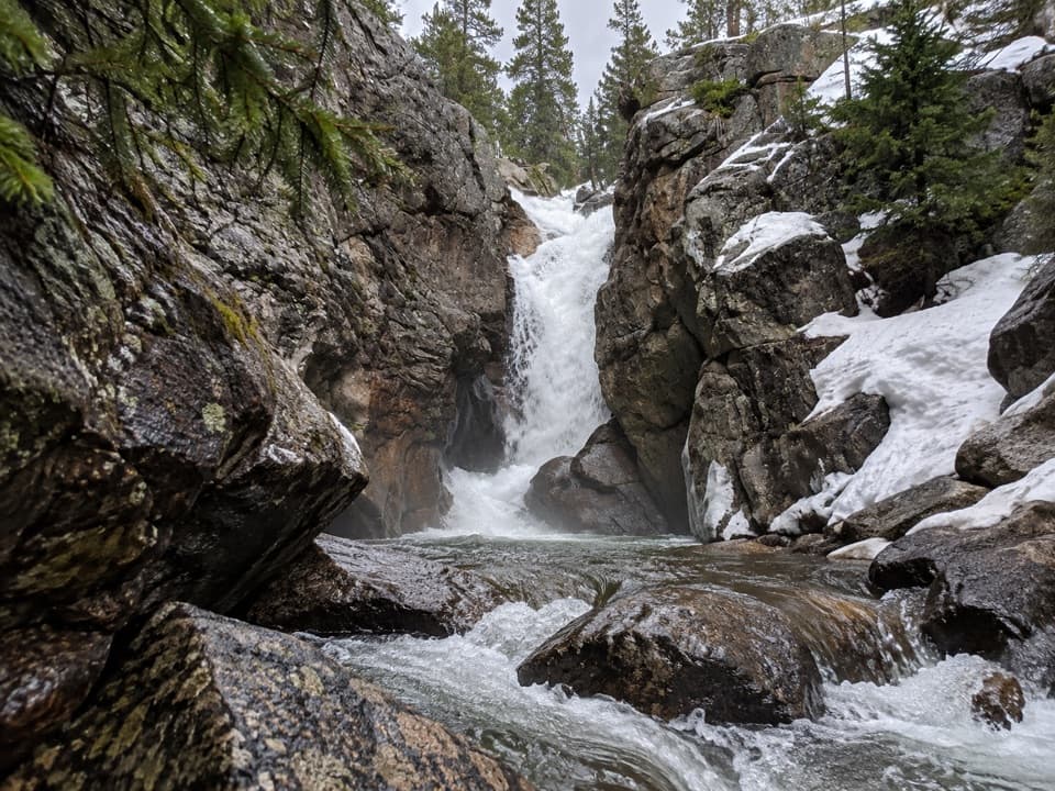
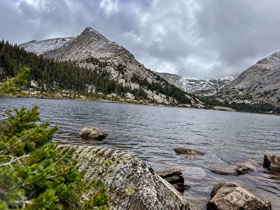
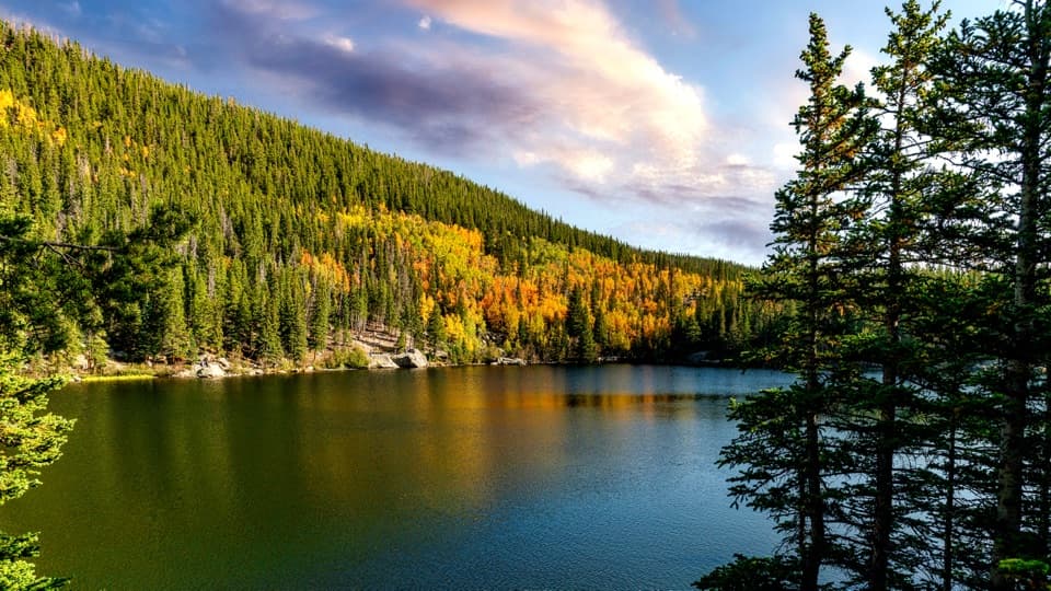
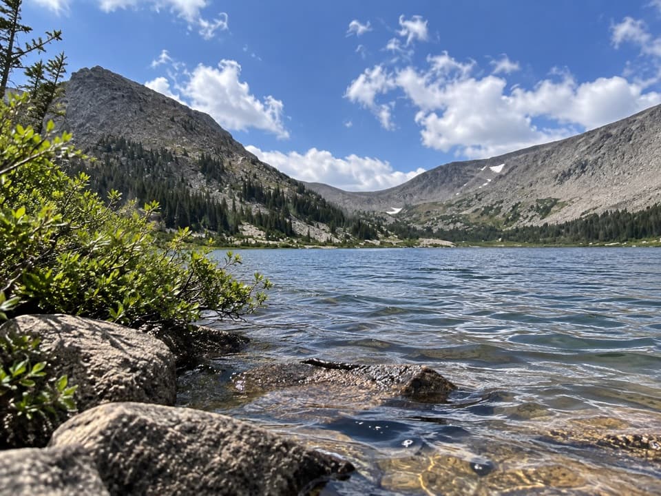
Lawn Lake is a high-country lake reached by a long, steady climb that rewards you with treeline views and a front‑row seat to park history. The trail rises out of Horseshoe Park, tracks the Roaring River, and finishes with a final push to a windswept basin where the lake sits.
Expect roughly 12.5 miles round‑trip with about 2,500 feet of elevation gain. The first mile is the steepest; after that, it’s a sustained, mostly gradual ascent. You’ll cross a low divide, pass the Ypsilon Lake junction, and follow stretches of the 1903 wagon road built for the original dam. Much of the route is forested with river sounds and occasional peeks at surrounding peaks. Near the end, the trail turns near the Black Canyon junction for the last climb to the shore. Most hikers take 6–8 hours total.
Lawn Lake was a natural lake enlarged by an early 1900s irrigation dam. In 1982 the dam failed from internal erosion, releasing the lake and carving the Roaring River—scouring channels up to dozens of feet deep and depositing the huge Alluvial Fan at the valley mouth. The flood also overtopped and failed the smaller Cascade Dam downstream and ultimately sent muddy water through Estes Park. Today, you can still trace this story in the widened river corridor and boulder deposits. (USGS and NPS have detailed accounts of the event.)
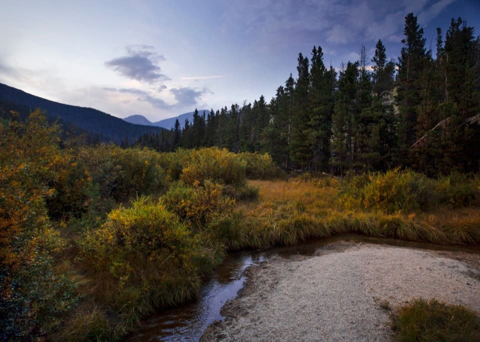
Moose and elk are possible along this corridor. Give moose a very wide berth and never approach. Keep your distance, especially near water and willows.
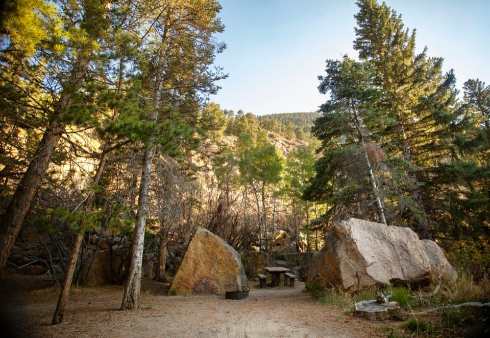
This is a good backpacking route with designated sites like Cutbank, Golden Banner, and Lawn Lake (permits required). Bear canisters are mandatory. There’s a vault toilet at the Lawn Lake Trailhead, but no facilities at the lake. If you collect water from inlet/outlet streams, treat it properly. Dogs aren’t allowed on park trails.
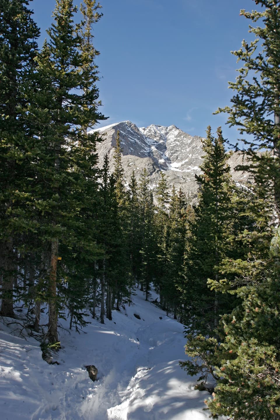
Best season is late June through September. Start early to dodge summer afternoon thunderstorms and the worst winds at the lake. In winter and spring, this route requires proper snow travel skills and avalanche awareness; conditions can change fast in this terrain.
Stronger hikers often continue above to Crystal Lakes or push to The Saddle for bigger alpine views. If you prefer a shorter day, consider turning around at scenic viewpoints along the Roaring River.