
Place
Challenging
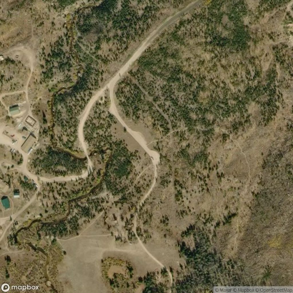
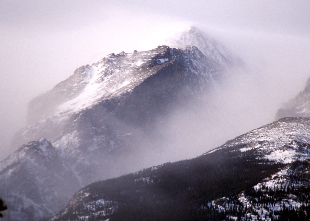
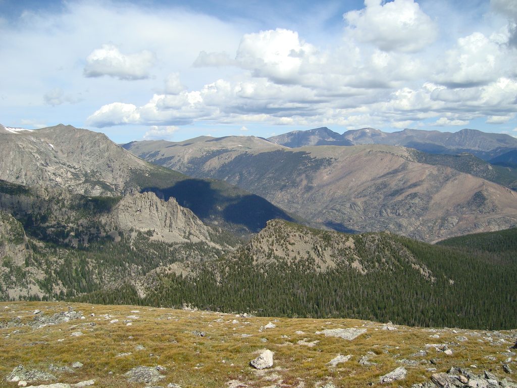
Stormy Peaks Trail is a demanding, remote-feeling outing that links the Pingree Park side of the Comanche Peak Wilderness to the northern edge of Rocky Mountain National Park over Stormy Peaks Pass. It’s 12.6 miles total, out-and-back, with about 3,513 feet of climbing—most of it steady rather than steep. Expect an unglamorous start through lodgepole forest and a long moraine traverse, but stick with it: the upper open basin and tundra near the pass deliver sweeping looks toward Pingree Park, the Mummy Range, and even Comanche Peak.
The character changes as you gain altitude: shady forest gives way to subalpine meadows and then wind-scoured alpine tundra. In season, look for paintbrush, columbines, harebells, and potentillas brightening the high country. Wildlife shows can be memorable—hikers have reported moose, weasels, pikas, and birds like pipits and crossbills. A lower viewpoint offers a nice overlook of Pingree Park before the trail opens into the high basin near the pass.
This is a hard hike due to length and total gain, but much of the climb is gradual with occasional mellow stretches. Early season can bring lingering snowfields and some stream crossings; snow typically recedes by early July. Wind and chill ramp up above treeline even on summer days, so bring layers and a wind shell. The trail often sees light use—midweek starts can feel surprisingly solitary.
Parking is limited (about seven vehicles) at the trailhead near the CSU Mountain Campus/Pingree Park area, and there’s no toilet—use the nearby campground facilities before you start. Cell service in Poudre Canyon is unreliable, so download driving and trail maps ahead of time. Hikers have noted free parking. Dogs are not allowed once you enter Rocky Mountain National Park; on the wilderness portion west of the boundary, local regulations require dogs on a hand‑held leash, but because this route crosses into RMNP, plan to leave pets at home.
There’s a designated backcountry site (“Stormy Peaks”) just below treeline on the west side of the pass at 10,710 feet. From Pingree Park it’s roughly 5 miles and about 1,710 feet of gain (plan 4–5 hours one way); from the Dunraven/North Fork side it’s about 11 miles with a net gain of 2,750 feet (10–11 hours). Campfires are prohibited; use a stove. Bear-resistant canisters are required from April 1 through October 31. Springs above the site can dry after mid‑July; later in summer, water may require a very steep, off‑trail trek of over a mile to a tributary—treat or boil all water.
April through November is the typical window. Earlier and later shoulders can mean snow and require traction (microspikes can help). Start early to bank miles before afternoon winds kick up, and aim for midweek if you’re chasing solitude. Peak wildflowers bloom mid‑summer, but remember that upper water sources for backpackers may run dry after mid‑July.
Small pullout near the CSU Mountain Campus/Pingree Park; roughly seven spaces, no toilet—use the nearby campground. Reception is poor, so download maps. Parking noted as free by hikers.
Windy, cold conditions above treeline even in summer; early-season snowfields and stream crossings; long, high-elevation day with limited cell service—download maps. If backpacking, no fires, bear canisters required Apr 1–Oct 31, and mid‑summer water near camp can be dry, requiring a steep off‑trail fetch.
Place
Place
Place
Place
Challenging
Moderate
Moderate
Challenging

Parkwolf Tour Guide
