Mirror Lake Trail from Corral Creek in Rocky Mountain National Park

Rocky Mountain National Park, CO

Mirror Lake Trail from Corral Creek

Cross a burned, open valley to a cliff-walled alpine lake.

Length
12.5mi
Time
14hr
Elev. change
1,348ft
Difficulty
Challenging
  • No dogs
  • High point 11,030 ft
  • #64 of 136 in Rocky Mountain
Parkwolf audio tour79 stories across Rocky Mountain’s roads

Overview

About Mirror Lake Trail from Corral Creek

Why go

  • A remote alpine lake beneath a dramatic granite wall.
  • The burn scar opens long views across the valley and peaks.

Heads up

  • A very long day above 10,000 feet, with a long return.
  • The burned stretch has little shade and the trailhead lot is small.

Map & elevation

The route

Loading the Rocky Mountain map
Full map
Elevation9,682–11,030 ft
TrailheadCorral Creek Trailhead40.51794, -105.77081
Keep this map with you offline in the Parkwolf app

Plan your hike

Before you go

Parking

Corral Creek Trailhead is at the end of Long Draw Road (Forest Road 156), about 8 miles up the gravel road from Colorado 14. The U.S. Forest Service estimates space for about eight vehicles; trailers do not fit. The road gate is seasonal, so check with the Roosevelt National Forest before driving out. There is no restroom or water at the trailhead.

Safety

This is a remote high-altitude hike, roughly 10,000 feet at the start and 11,000 feet at the lake. Burned sections have little shade, and the route crosses creeks and the river. Carry enough water and treat any creek water. Pets are prohibited on Rocky Mountain National Park trails; overnight camping requires a backcountry permit and campfires are prohibited at the lake site.

3 active Rocky Mountain alerts

  • ClosureOld Fall River Road closed to vehiclesOld Fall River Road is closed to motor vehicles for the season.Official details
  • ClosureSun Valley burn-area access remains closedThe area and trail west of Sun Valley Trail remain closed, including the route used for angler access to the Colorado River, because of impacts from the 2020 East Troublesome and Cameron Peak Fires;…Official details
See all 3 alerts
A park ranger sits on a dash-mounted phone, talking, as Parkwolf’s Tour Guide plays “Army Cutworm Moths: A Grizzly Bear Buffet” on Grand Loop Road below Dunraven Pass in Yellowstone
Parkwolf Tour GuideThe highest, rockiest slopes around here are a summer buffet for grizzly bears.

Rocky Mountain Tour Guide

Your drive to Mirror Lake Trail from Corral Creek, narrated.

Parkwolf is a GPS audio tour guide for Rocky Mountain National Park. As you drive, it chimes in with what’s ahead: hidden gems, upcoming stops, history, geology, and wildlife, right through your car’s speakers.

See the Rocky Mountain audio tour

More stories near here in the app

  • Medicine Bow Curve: Two Treelines
  • Alpine Visitor Center: Views and a Café
  • Why Tundra Plants Hug the Ground
  • Gore Range Overlook: A Volcanic Skyline
  • 79 audio storiesacross Rocky Mountain’s roads, triggered by GPS as you drive
  • Wildlife heatmapsfor Elk, Moose, Mountain Goat, and 13 more
  • Works offlinemaps, 136 trails, 88 places, and audio download before you lose signal
  • CarPlay readysimple controls built for the drive
★★★★★
“…No cell service for majority of the day but had continuous access to the app - the maps, the tour guide as you drive is amazing. Highly recommend purchasing the subscription.”
jkatnerApp Store review
Download Parkwolf on the App StoreGet Parkwolf on Google Play

4.7 from 8,600+ ratings

Trail guide

Hiking Mirror Lake Trail from Corral Creek

The full day to Mirror LakeMirror Lake Trail from Corral Creek is a 12.

Mirror Lake Trail from Corral Creek is a 12.5-mile out-and-back through the remote northwest of Rocky Mountain National Park. The route strings together Corral Creek, Poudre River, Mummy Pass and Mirror Lake trails; the starting access is in Roosevelt National Forest before the path crosses into the park. The published 6.25 miles is the walk to the lake, and you retrace it on the return. From an already-high trailhead near 10,000 feet, the route first drops about 350 feet, then climbs toward the lake at roughly 11,000 feet. Allow about 12–16 hours for the full return hike. This is a demanding day at altitude, not a quick lake walk.

Follow the turns, not just the nameThe opening stretch moves between green forest and small meadows beside Corral Creek, then…

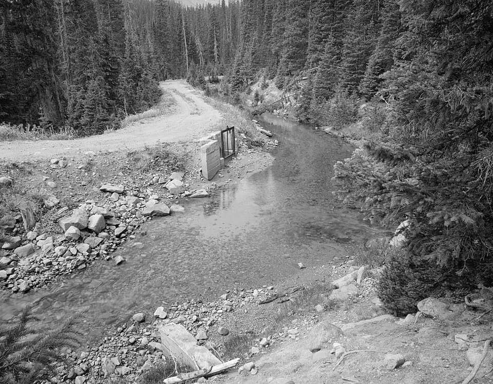
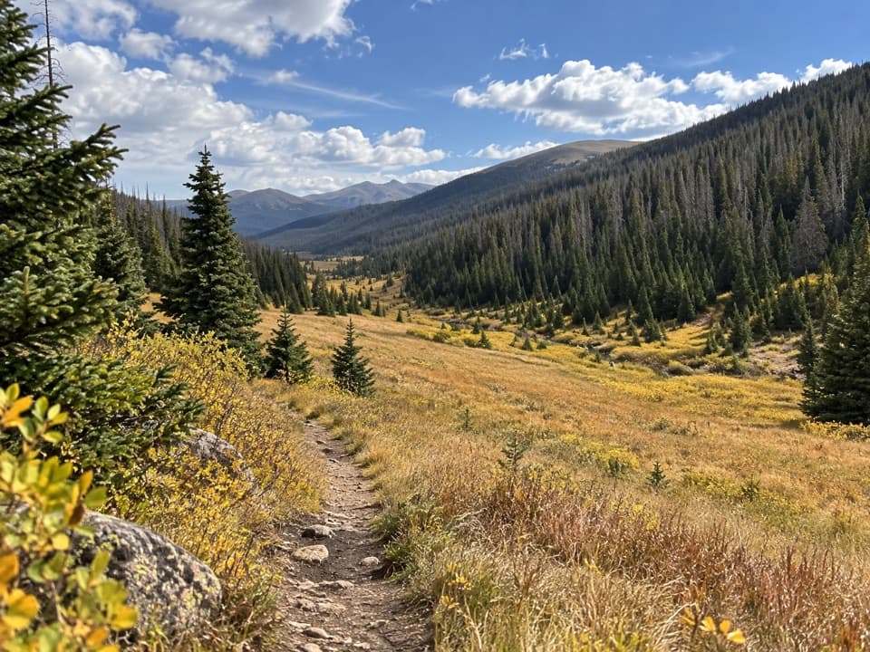
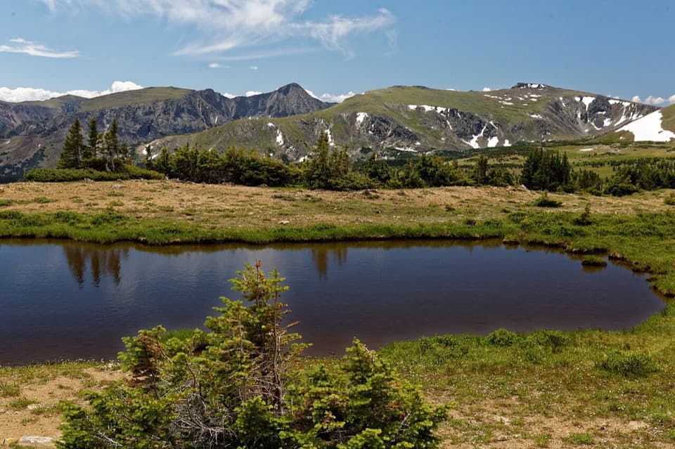
The opening stretch moves between green forest and small meadows beside Corral Creek, then drops toward La Poudre Pass Creek at the park boundary. After crossing into the park, the route follows the Cache la Poudre River on a gentler stretch, crosses the river, passes Hague Creek Campground and turns up alongside Hague Creek. Around 1.75 miles from the start, take the left onto Mummy Pass Lower. The climb passes a broad meadow and grassy ponds on the ridge. At about 4.75 miles, join Mirror Lake Trail for the final approach. The trail names can be confusing here; this route is the Corral Creek approach, not the separate Forest Service Mirror Lake Trail farther north.

Burned ridges, wider viewsThe 2020 Cameron Peak Fire burned into this valley and the ridges above it.

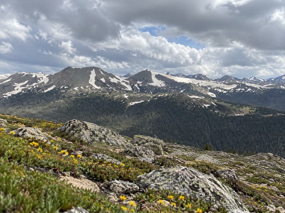
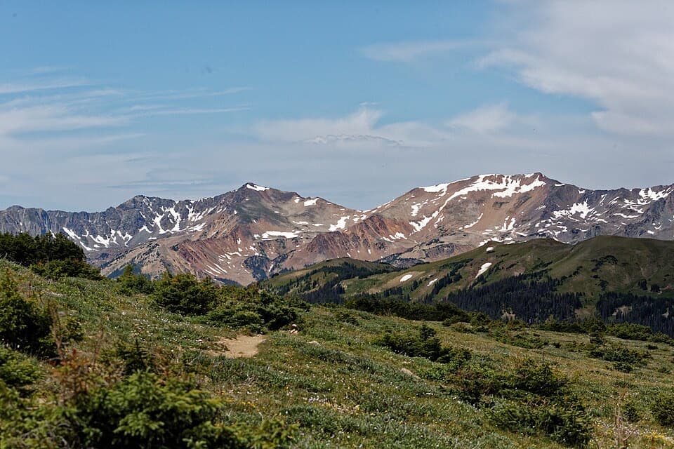
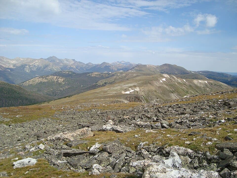
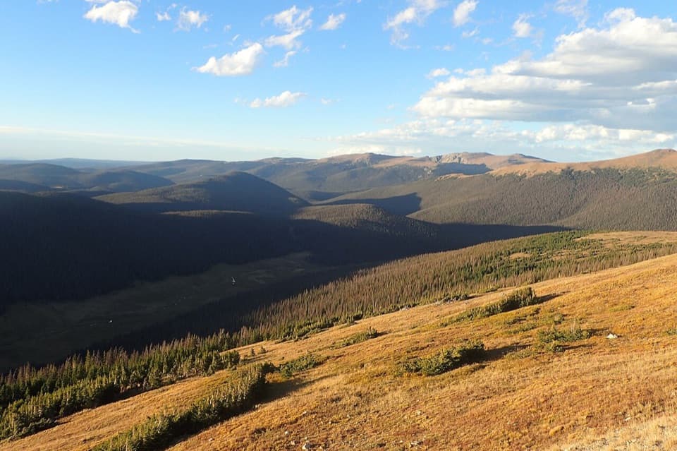
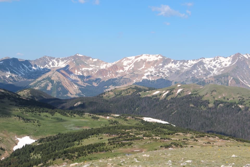
The 2020 Cameron Peak Fire burned into this valley and the ridges above it. Charred trunks remain, and the open sections have little shade, but the gaps now reveal more of the river valley and surrounding peaks. Forest alternates with burned slopes and meadow, then thicker trees return near Comanche Peak. A naturalist recorded August flowers and late-September color on separate visits; those seasonal displays vary from year to year.

The lake and its cliffsThe upper trail passes Cascade Creek meadows and striped granite boulders before threading…

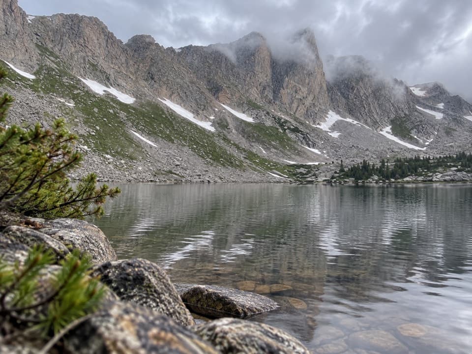
The upper trail passes Cascade Creek meadows and striped granite boulders before threading through a short, steep-sided draw to the camp area below the lake. Continue to the shore: the payoff is a tall wall of granite across the water, with small trees clinging to ledges. In calm weather the cliff face can reflect in the lake; wind breaks the image into ripples. For a photograph, include a little rocky shoreline in the foreground so the water and wall read together.

Access and overnight rulesCorral Creek Trailhead is at the end of Long Draw Road, a seasonal gravel road.

Corral Creek Trailhead is at the end of Long Draw Road, a seasonal gravel road. Check road access before driving out. There is no food, restroom or drinking water at the trailhead. The backcountry camp area below the lake has three sites and no privy; treat creek water, and campfires are prohibited there. Overnight camping requires a backcountry permit. Pets are prohibited on all park trails, so this route cannot be hiked with a pet.
Wildlife

Wildlife in Rocky Mountain

All Rocky Mountain wildlife maps

Sighting maps show where each species has been reported across Rocky Mountain. Wildlife moves, so no sighting is guaranteed.

Keep exploring

Near Mirror Lake Trail from Corral Creek

See it all on the map

Trails that start nearby

Places near the trailhead

Parkwolf’s Rocky Mountain ranking

Top-rated trails in Rocky Mountain

All 136 trails
  1. 1Emerald Lake TrailModerate · 3.4 mi
  2. 2Sky Pond TrailChallenging · 9 mi
  3. 3Chasm Lake TrailChallenging · 8.4 mi
  4. 4Bear Lake LoopEasy · 0.6 mi
  5. 5Dream Lake TrailModerate · 2.2 mi
  6. 6Alberta Falls TrailEasy · 1.7 mi

Take Parkwolf to Rocky Mountain.

The audio tour guide for the drive, plus offline maps, trails, and wildlife heatmaps for when the signal drops.

4.7 from 8,600+ ratings

Download Parkwolf on the App StoreGet Parkwolf on Google Play