Parking
Start at Hollowell Park Trailhead at the west end of Hollowell Park, reached by Hollowell Park Road off Bear Lake Road.
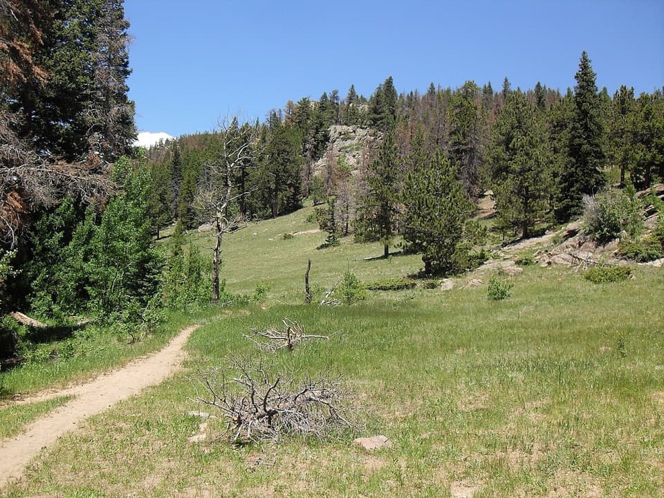
Rocky Mountain National Park, CO
A long loop through Moraine Park, Cub Lake, and Mill Creek Basin.
Overview
Map & elevation
Plan your hike

The highest, rockiest slopes around here are a summer buffet for grizzly bears.
Rocky Mountain Tour Guide
Parkwolf is a GPS audio tour guide for Rocky Mountain National Park. As you drive, it chimes in with what’s ahead: hidden gems, upcoming stops, history, geology, and wildlife, right through your car’s speakers.
See the Rocky Mountain audio tourRecorded for this trailhead
Hollowell Park: Lunch and a Creekside Stroll“Up ahead is Hollowell Park, a meadow picnic stop with a view across Mill Creek Basin toward Longs Peak. I'd choose it for lunch and a short stroll rather than a big hiking commitment.”
Plays as you drive up to this trailhead in the Parkwolf Rocky Mountain Tour Guide.
More stories near here in the app
“…No cell service for majority of the day but had continuous access to the app - the maps, the tour guide as you drive is amazing. Highly recommend purchasing the subscription.”


Trail guide
Hollowell Park Loop is a 10.2-mile circuit from Hollowell Park Trailhead through Moraine Park, Cub Lake and Mill Creek Basin. It starts across the open meadow, follows a long ridge-side section, reaches Cub Lake, climbs the ridge beyond it and descends through Mill Creek Basin. With about 1,630 feet of climbing between roughly 8,300 and 9,440 feet, this is a strenuous full-day hike, not the picnic area's short easy stroll. Plan around six hours. The first and last third-mile share the access trail; the middle makes the loop.
The described counterclockwise route leaves the meadow, then follows a narrow path above Bear Lake Road through sagebrush and montane forest. At about 2.1 miles it turns onto a bridle path and climbs to South Lateral Moraine. The trail moves between trees and open ground with views across Moraine Park's wetlands, oxbows and meadows. Where the lower route splits and rejoins, the right-hand branches are the easier choices. Cub Creek comes at about 4.4 miles; spring runoff or heavy rain can make it hard to cross without wet boots.
Cub Lake arrives around mile 6.3. Dead trees still ring the shore after the 2012 Fern Lake and 2020 East Troublesome fires; from the shoreline, look west toward Stones Peak. Past the lake, the Mill Creek route climbs about 820 feet in just over a mile to the ridge. This is the hardest sustained section. The descent toward Mill Creek is gentler, with views of Longs Peak and the Continental Divide.
Around mile 8.25, the trail drops into Mill Creek Basin, where it passes a grassy meadow, creek crossings and a backcountry campsite before following Mill Creek toward Hollowell Park. At the start, the picnic area has a pit toilet and tables but no trash cans. No day-use drinking-water point is listed for the route, so carry enough water. Dogs are prohibited on Rocky Mountain National Park trails.
Wildlife
 3,124 sightingsElkMost seen around 6 PMSighting map
 1,601 sightingsMooseMost seen around 7 PMSighting map
 19 sightingsMountain GoatMost seen around 7 AMSighting map
 19 sightingsBald EagleMost seen around 8 AMSighting map
 30 sightingsGolden EagleMost seen around 10 AMSighting map
 270 sightingsBighorn SheepMost seen around 11 AMSighting map
Sighting maps show where each species has been reported across Rocky Mountain. Wildlife moves, so no sighting is guaranteed.
Keep exploring
ModerateMill Creek Basin Loop3.7 mi · 2.5 hr · At the trailheadA creekside Hollowell Park loop with a meadow start and aspen return.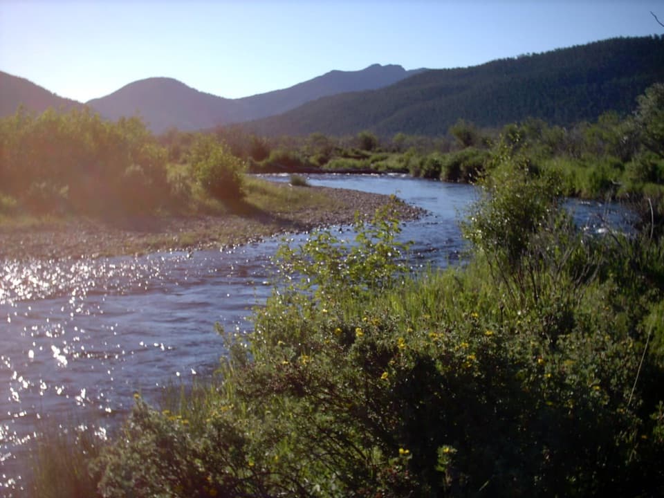 ModerateCub Lake Trail4.6 mi · 3.5 hr · 1.2 mi awayA meadow crossing and aspen climb lead to a lily-pad lake.
 EasyMoraine Park Loop4.8 mi · 2.5 hr · 1.4 mi awayRiver bends, meadow elk, and high peaks line this mellow loop.
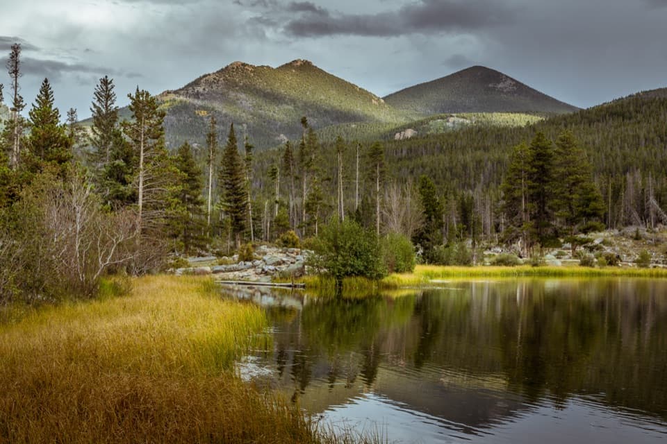 EasySprague Lake Nature Trail0.8 mi · 30 min · 1.5 mi awayA nearly level loop with lake and Continental Divide views.
 EasyMoraine Park Discovery Center Nature Trail0.5 mi · 30 min · 1.6 mi awayA quick hillside loop for wide meadow and mountain views.
 ModerateOdessa Lake via Fern Lake Trail9.8 mi · 6 hr · 1.6 mi awayTwo alpine lakes, a cascade and a serious climb from Fern Lake.
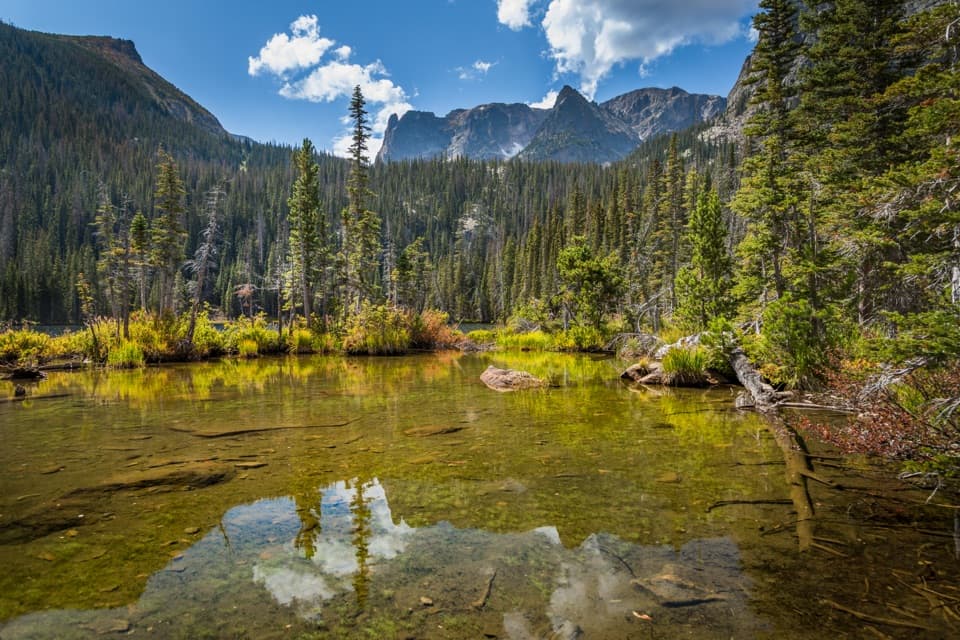 ModerateFern Lake Trail7.6 mi · 4.5 hr · 1.6 mi awayA 7.6-mile return to Fern Lake passes The Pool and Fern Falls.
 EasyThe Pool Trail3.4 mi · 1.8 hr · 1.6 mi awayA short river walk to a lively, boulder-lined confluence.
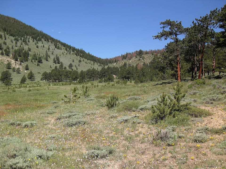 Picnic area · At the trailheadHollowell ParkA meadow picnic with Longs Peak across the basin.
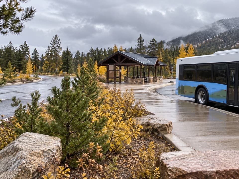 Sight · 0.8 mi awayPark & Ride Transit HubPark once for free shuttles to Bear Lake Road stops.
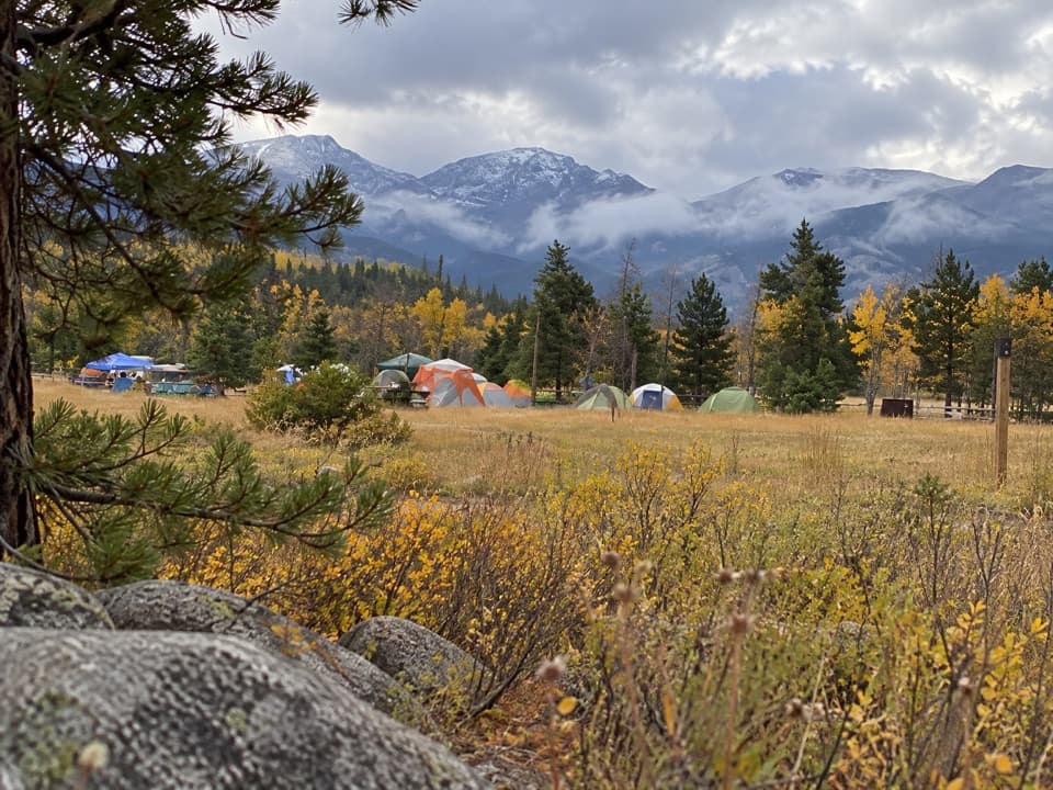 Campground · 1 mi awayGlacier Basin CampgroundA handy base for Bear Lake corridor starts.
 Picnic area · 1.1 mi awayTuxedo Park Picnic AreaA quiet creekside picnic, reached by steps from the road.
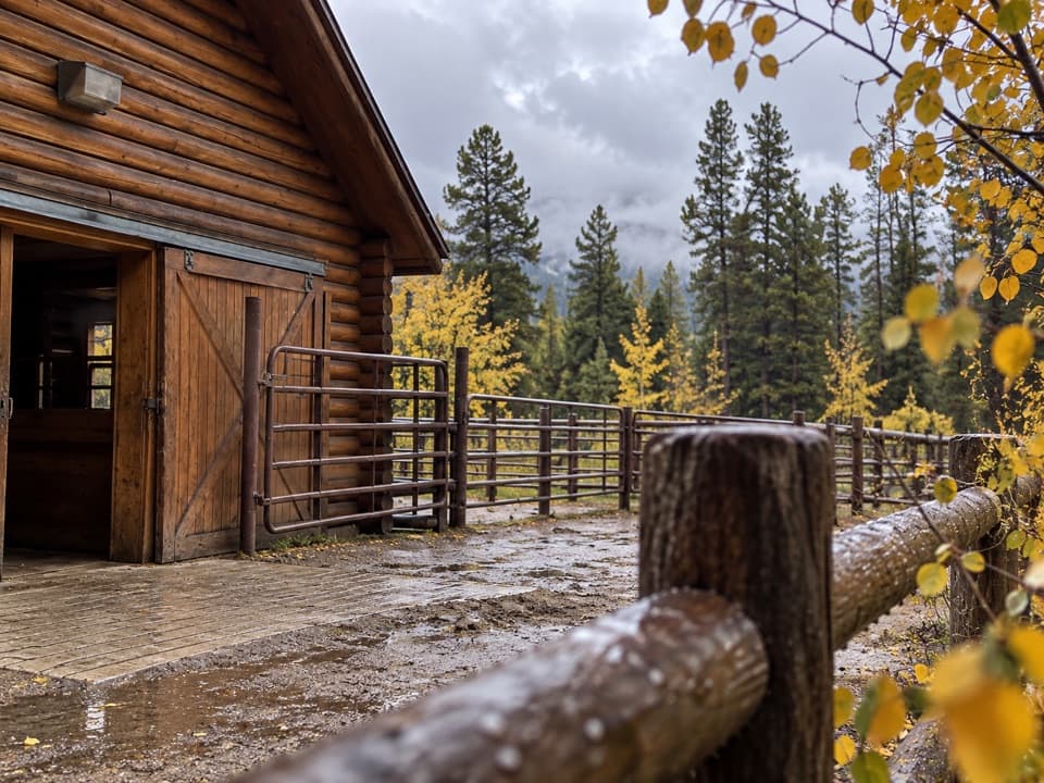 Sight · 1.3 mi awayGlacier Creek StablesThe park's lone stable pairs guided rides with mountain scenery.
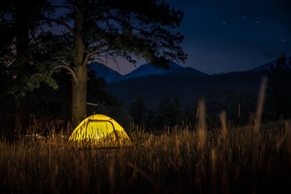 Campground · 1.3 mi awayMoraine Park CampgroundElk bugles sometimes carry across camp on autumn nights.
 Sight · 1.4 mi awayMoraine ParkAn open glacial meadow with elk beneath Longs Peak and the Divide.
 Sight · 1.5 mi awaySprague LakeA gentle lake loop for Divide views and possible moose sightings.
Parkwolf’s Rocky Mountain ranking

The audio tour guide for the drive, plus offline maps, trails, and wildlife heatmaps for when the signal drops.




