Overview
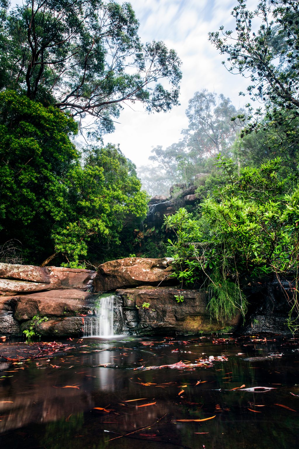
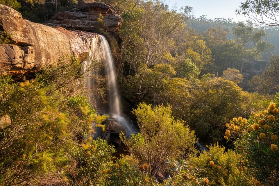
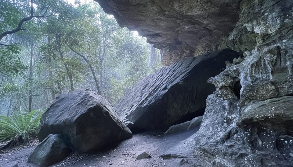
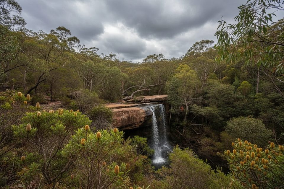
Lower National Falls sits below the better-known Upper National Falls and feels like a secret—more dramatic, less formal. A broad sandstone overhang lets you walk behind the cascade, with spray drifting across a shaded amphitheater. It’s at its photogenic best after rain, yet remains a quick, low-effort stop once you know where to look.
What You’ll See
- A curtain of water spilling over Triassic Hawkesbury Sandstone, sculpting a deep recess you can comfortably walk behind.
- A wide track behind the falls (generally less muddy than the upper falls area) and, with care, a short rock hop (~50 m) to the base where a small swimming hole often forms in typical flows.
- Eucalypt forest and heath around the creek—expect birdsong and a sense of calm away from the road noise.
Getting There (Read This Twice)
- Park at the small dirt pull-off near the top of National Falls on McKell Avenue.
- From the parking, walk about 200 m down McKell Avenue on the Waterfall side, staying behind the crash barrier. Look on the left for well-built stone steps dropping into the bush.
- After roughly 100 m the path flattens to the big overhang behind the falls. For the base, continue a short scramble over rocks.
Conditions & Safety
- The route is not signposted; the roadside start is subtle. Traffic moves quickly here—stay behind the barrier.
- Rock surfaces and steps turn very slippery when wet; the brief scramble to the base demands sure footing.
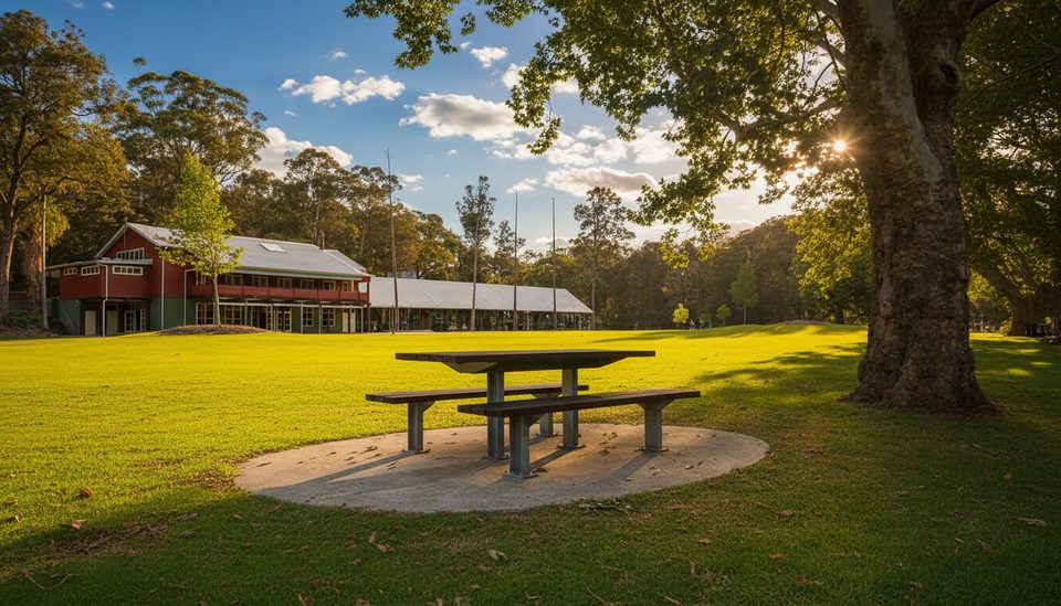
- There are no built facilities here—no toilets, taps, or picnic setups. Bring everything you need and pack it out.
- Some areas around the falls may be fenced to protect visitors and fragile edges; respect barriers.
Best Time to Visit
- Go after light to moderate rain for the most satisfying flow; skip heavy-rain spikes when sandstone and algae go slick.
- Weekends and holidays can draw crowds right after rain, and parking is limited—start early.
- The falls are within Royal National Park, where a vehicle entry fee applies and track closures can occur during extreme fire danger. Check park alerts on the morning you go.
Wildlife & Landscape Notes
- The sandstone plateau here is cut into gullies perfect for waterfalls; heath and sclerophyll forest support birdlife like honeyeaters and small heathland specialists. Keep your eyes and ears open along the approach path.
Is It Worth It?
If you like short-but-special stops, Lower National Falls is a gem—more atmospheric than the upper falls and far less formal. Know the unmarked start and you’ll be grinning behind the curtain of water in minutes.