Overview
About Gunjulla Flat Picnic Area
Why stop
- Spring flowers bring honeyeaters and wattlebirds.
Heads up
- No on-site toilets.
Map
Where it is

The highest, rockiest slopes around here are a summer buffet for grizzly bears.
Royal Tour Guide
Your drive to Gunjulla Flat Picnic Area, narrated.
Parkwolf is a GPS audio tour guide for Royal National Park. As you drive, it chimes in with what’s ahead: hidden gems, upcoming stops, history, geology, and wildlife, right through your car’s speakers.
See the Royal audio tourRecorded for this area
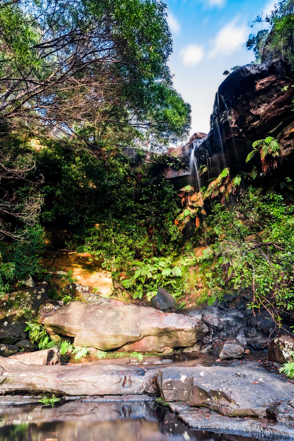
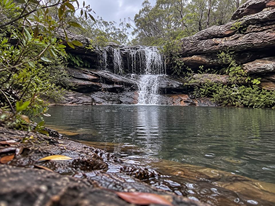
National Falls Upper Cascade“You're nearing National Falls on McKell Avenue, where a short, steep stairway leads to the upper cascade. It's a quick forested stop, more rewarding after rain; frame the water with the fern-covered rock and pool.”
Plays on the road 0.3 km from Gunjulla Flat Picnic Area in the Parkwolf Royal Tour Guide.
More stories near here in the app
- The Goanna’s Scent Detector
- Ancient Currents in the Sandstone
- Forest Path at Southern Lady Carrington Drive
- Waterfall Station and the Uloola Walk
- 43 audio storiesacross Royal’s roads, triggered by GPS as you drive
- Wildlife heatmapsfor Humpback Whale, White-bellied Sea-Eagle, Koala, and 13 more
- Works offlinemaps, 69 trails, 58 places, and audio download before you lose signal
- CarPlay readysimple controls built for the drive
“Fantastic app with many points of information… It’s great to just turn on while you’re driving and it gives you an audio tour of the national Park. We love it!!!!”


Guide
More about Gunjulla Flat Picnic Area
A short stop on the park driveGunjulla Flat is a small roadside picnic clearing on McKell Avenue near Waterfall, at Royal…
Gunjulla Flat is a small roadside picnic clearing on McKell Avenue near Waterfall, at Royal National Park’s western edge. It suits a quick lunch, a leg-stretch or a breather during a drive or ride; the draw is the shaded bush setting rather than a landmark view. Couranga walking track and Forest path are a short drive farther along McKell Avenue, so this works well as a picnic stop before or after a walk.
Bring your own picnic, and plan for toiletsTurn from the Princes Highway near Waterfall onto McKell Avenue and continue about 1.5 km.
Turn from the Princes Highway near Waterfall onto McKell Avenue and continue about 1.5 km. Access is by sealed road suitable for 2WD vehicles. Picnic tables and a car park are listed, but take a picnic rug if having a sure seat matters. Pack food and water; there are no toilets at the picnic area, with toilets at Waterfall train station and Garie Beach picnic area. Pets are not allowed in the park except certified assistance animals.
Spring in the heathThe heath around the clearing is habitat for fantail cuckoos, pigeons and quails.
The heath around the clearing is habitat for fantail cuckoos, pigeons and quails. In spring, flowering wild plants and banksias draw honeyeaters and wattlebirds. Bring binoculars if you want to pause and watch birds; this is a quiet bush break, not a stop for a big view.
Wildlife
Wildlife in Royal
 56 sightingsHumpback WhaleMost seen around 11 AMSighting map
 70 sightingsWhite-bellied Sea-EagleMost seen around 9 AMSighting map
 12 sightingsKoalaMost seen around 6 PMSighting map
 34 sightingsJavan RusaMost seen around 6 PMSighting map
 70 sightingsShort-beaked EchidnaMost seen around 5 PMSighting map
 11 sightingsRed FoxMost seen around 5 PMSighting map
Sighting maps show where each species has been reported across Royal. Wildlife moves, so no sighting is guaranteed.