Uloola walking track in Royal National Park

Royal National Park, NSW

Uloola walking track

An 11 km crossing of sandstone ridges, heath and Uloola Falls

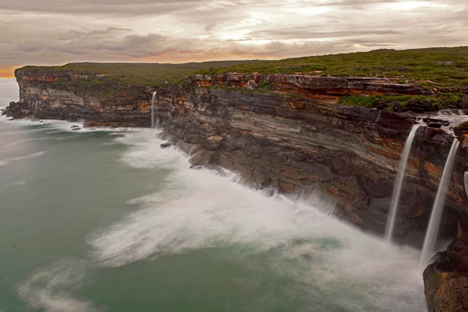
Photo: Wikimedia Commons
Length
11km
Time
5hr
Elev. change
112m
Difficulty
Moderate
  • No dogs
  • High point 236 m
  • #15 of 69 in Royal

Hear the audio tour

Waterfall Station and the Uloola Walk

Overview

About Uloola walking track

Why go

  • A ridge, seasonal heath flowers and Uloola Falls in one long crossing
  • Rail access at Waterfall Station makes the start straightforward

Heads up

  • The 11 km is one-way and requires return-transport planning
  • Rain can leave the track boggy

Map & elevation

The route

Loading the Royal map
Full map
Elevation124–236 m
TrailheadRear car park, Waterfall Train Station-34.13497, 150.99565
Keep this map with you offline in the Parkwolf app

Plan your hike

Before you go

Parking

Start behind Waterfall train station, using the rear station car park. The Audley-side access is at Currawong Flat or Wattle Forest picnic area; arrange a pickup or a vehicle at the other end for this point-to-point walk. Parking at Waterfall and Audley can be limited on weekends. Toilets are at Waterfall Station.

Safety

This is an 11 km one-way walk, not a return loop. Carry enough drinking water for the full route; no refill point is identified along it. Rain can make the path boggy, and mountain bikes share part of the fire trail.

A park ranger sits on a dash-mounted phone, talking, as Parkwolf’s Tour Guide plays “Army Cutworm Moths: A Grizzly Bear Buffet” on Grand Loop Road below Dunraven Pass in Yellowstone
Parkwolf Tour GuideThe highest, rockiest slopes around here are a summer buffet for grizzly bears.

Royal Tour Guide

Your drive to Uloola walking track, narrated.

Parkwolf is a GPS audio tour guide for Royal National Park. As you drive, it chimes in with what’s ahead: hidden gems, upcoming stops, history, geology, and wildlife, right through your car’s speakers.

See the Royal audio tour

Recorded for this trailhead

Waterfall Station and the Uloola Walk
0:00 / 0:28
“You're approaching Waterfall Station, where the Uloola walking track starts behind the car park.”

Plays as you drive up to this trailhead in the Parkwolf Royal Tour Guide.

More stories near here in the app

  • The Goanna’s Scent Detector
  • National Falls Upper Cascade
  • Ancient Currents in the Sandstone
  • Forest Path at Southern Lady Carrington Drive
  • 43 audio storiesacross Royal’s roads, triggered by GPS as you drive
  • Wildlife heatmapsfor Humpback Whale, White-bellied Sea-Eagle, Koala, and 13 more
  • Works offlinemaps, 69 trails, 58 places, and audio download before you lose signal
  • CarPlay readysimple controls built for the drive
★★★★★
“Fantastic app with many points of information… It’s great to just turn on while you’re driving and it gives you an audio tour of the national Park. We love it!!!!”
JMJamesApp Store review
Download Parkwolf on the App StoreGet Parkwolf on Google Play

4.7 from 8,600+ ratings

Trail guide

Hiking Uloola walking track

A one-way traverse, not a waterfall returnUloola walking track is an 11 km point-to-point bushwalk from the rear of Waterfall Station to…

Uloola walking track is an 11 km point-to-point bushwalk from the rear of Waterfall Station to an Audley-side access near Currawong Flat. It crosses the park’s high inland ridges, passes Uloola Falls and finishes in the Audley precinct. The full walk takes about four to six hours; allow around five, then add time for your pickup or return plan. The shorter Waterfall-to-falls outing uses part of the same southern route, but turning around there is not the 11 km through-walk.

The official grade is 3: the hills are generally gentle, but the formed path has many steps and some rough obstacles. This is a half-day of walking through the park’s interior, not a quick waterfall stop.

From Waterfall onto the ridgeThe signed start is behind Waterfall train station’s car park.

The signed start is behind Waterfall train station’s car park. The first stretch follows a wide fire trail before the route narrows to a more natural bush path. Parts of that broad track can feel long and open; take water and sun protection. After the Couranga Track junction, the route heads through heath and along the ridgeline. Views open over the sandstone highlands, with a distinctive whaleback-shaped formation along the way.

The fire trail is also used by mountain bikers, so keep an ear out and give riders room. After rain the track can become boggy, and rough sections and steps call for steady footing.

Heath flowers and a sandstone landmarkSpring is the best bet for the heathland wildflower display.

Spring is the best bet for the heathland wildflower display. In warmer months, look for the tall red flower stalks of the gymea lily. A sandstone whaleback along the ridge is an unusual rounded shape to watch for as the path crosses open country. Rock warblers build hanging nests beneath sandstone ledges, though spotting a nest is never guaranteed.

Uloola Falls is the midpoint payoffUloola Falls and its campground sit beside the through-route.

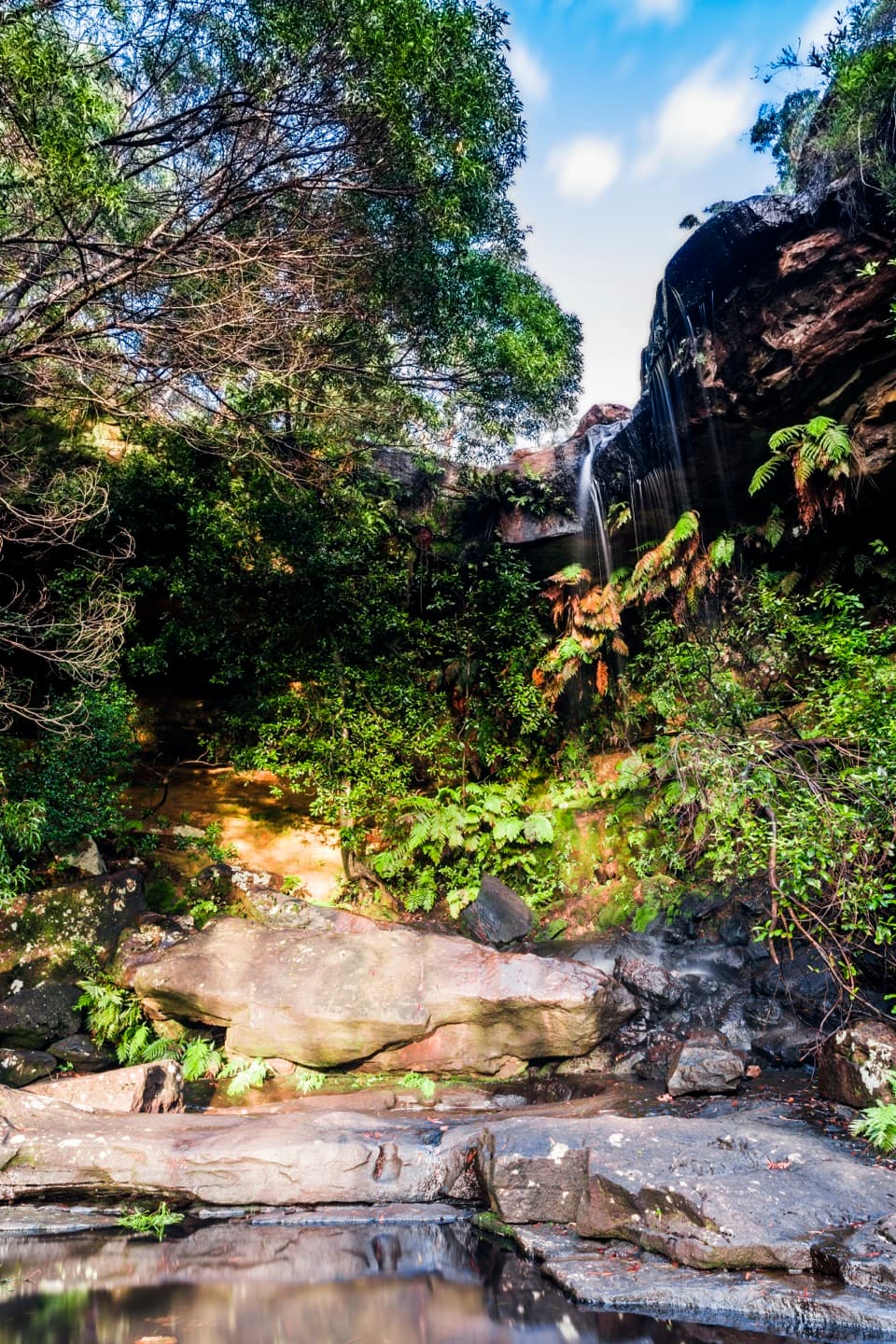
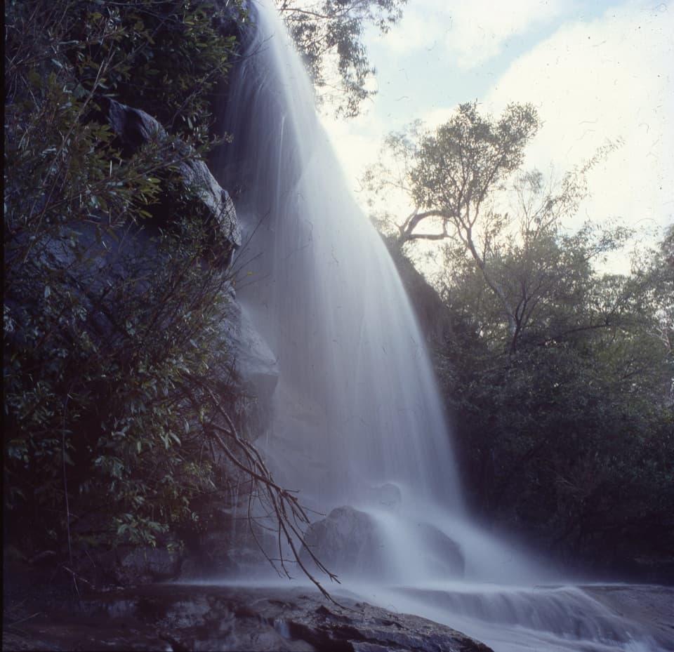
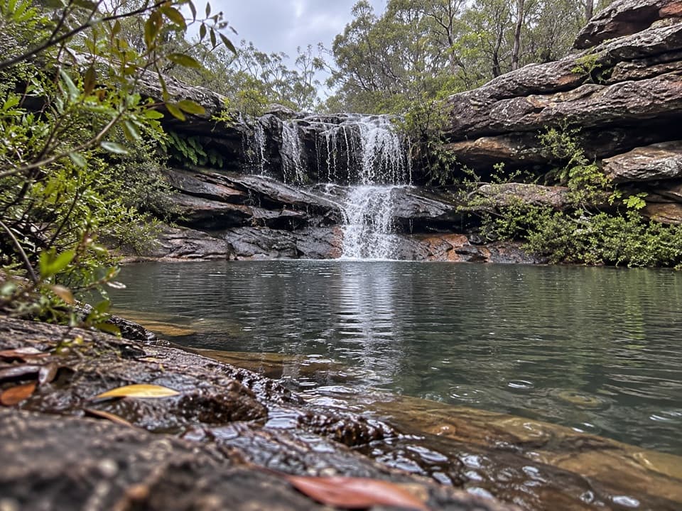
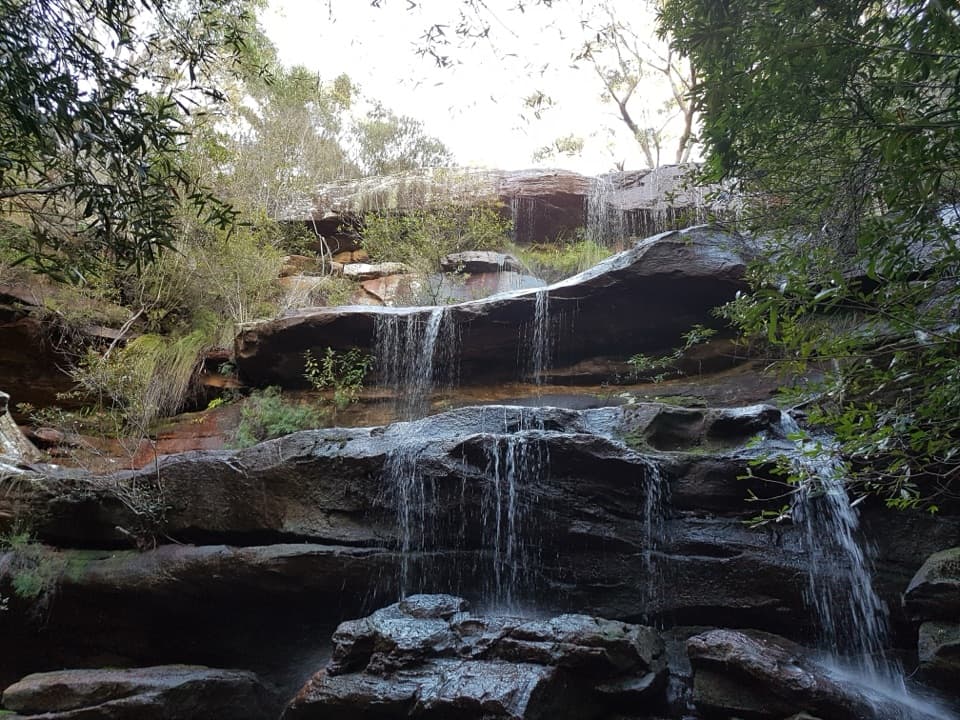
Uloola Falls and its campground sit beside the through-route. Water steps over low sandstone shelves into a rock pool, so think of it as a small creek waterfall rather than a towering drop; the flow can look modest. The campground is reached on foot and has non-flush toilets, but it is not a source of drinking water. Carry enough water for the full crossing.

From the path, include the flat sandstone shelves and a little of the pool below the water. That shows the layered cascade more clearly than a tight frame of the water alone.

Finish in AudleyThe final access is in the Currawong Flat and Wattle Forest area of Audley; the named track is…

The final access is in the Currawong Flat and Wattle Forest area of Audley; the named track is a through-walk, not a loop. Waterfall Station is the simplest rail access at the start. Parking is available at Waterfall and Audley but can be limited on weekends, so arrange a car at each end or a pickup before setting out. Toilets are available at Waterfall Station. Audley Dance Hall Cafe is a separate nearby stop for coffee, meals and pastries, not an on-route resupply point. Pets are not permitted on the walk except certified assistance animals.

Wildlife

Wildlife in Royal

All Royal wildlife maps

Sighting maps show where each species has been reported across Royal. Wildlife moves, so no sighting is guaranteed.

Keep exploring

Near Uloola walking track

See it all on the map

Trails that start nearby

Places near the trailhead

Parkwolf’s Royal ranking

Top-rated trails in Royal

All 69 trails
  1. 1The Coast TrackChallenging · 27 km
  2. 2Wattamolla to Eagle Rock and Curracurrong FallsModerate · 8.5 km
  3. 3Jibbon Loop TrackEasy · 5.2 km
  4. 4Palm Jungle Loop TrackChallenging · 8.2 km
  5. 5Curra Moors Loop TrackModerate · 10 km
  6. 6Wedding Cake Rock TrackModerate · 5.6 km

Take Parkwolf to Royal.

The audio tour guide for the drive, plus offline maps, trails, and wildlife heatmaps for when the signal drops.

4.7 from 8,600+ ratings

Download Parkwolf on the App StoreGet Parkwolf on Google Play