Pros & cons
PROS
- 2–3 minute walk from the road to a signed lookout
- Photogenic rock ledge; some visitors reach behind the falls when flowing
CONS
- Tiny roadside pullout with very limited parking
- Fenced lookouts restrict angles and discourage further access
- Short drop and can feel underwhelming in dry weather
Overview
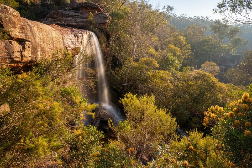
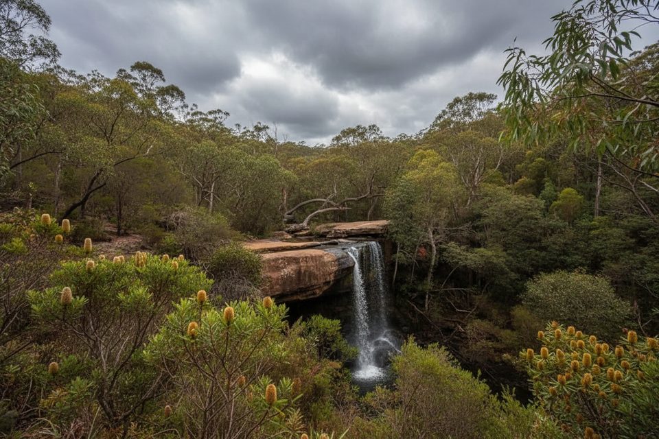
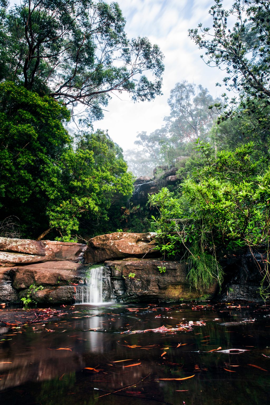
National Falls is a quick, pretty stop on the Waterfall side of the park. Expect a short stroll from the roadside to a fenced viewing platform and a small but graceful drop over sandstone. It’s a low‑effort photo stop that shines after rain; in dry spells the flow shrinks and the experience is more about the tranquil setting than spectacle.
What You’ll See
- A compact waterfall with a short drop and a broad rock lip.
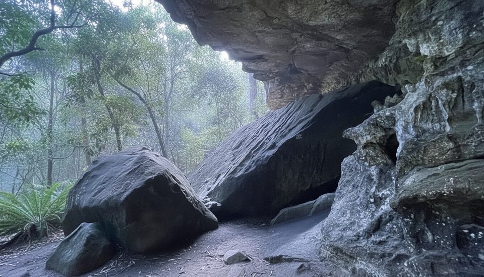
- Steps lead down from the lookout; when conditions allow, some visitors continue to reach the rock ledge and even slip behind the curtain for a front‑row view. Respect fences and your footing—sections are steep and signed/cordoned.
- A generally quiet nook compared with busy coastal spots, great for a breather and a few quick photos.
Getting There & Parking
Approach via the McKell Avenue/Waterfall entry. Roads here are sealed and fine for 2WD. Parking is limited to a small dirt pull‑in along the road; think brief stop, not a picnic car park. The broader park operates roughly 7:00am–8:30pm and may close in bad weather or extreme fire danger. A per‑vehicle day fee applies.
Best Time to Visit
- Right after rain for the best flow and photographs.
- Early mornings on weekends/holidays to snag a spot at the pullout.
- Midweek is typically quieter.
Pair It With
If you’ve got more time on the southern side, combine this stop with a longer walk nearby, such as Uloola walking track, Couranga walking track, or a separate waterfall outing like Winifred Falls.
Nature Notes
You’re on the edge of sclerophyll forest and creek gullies—listen for small heathland birds like honeyeaters and look for eucalypts, banksias, and melaleucas along the approach.
Need‑to‑Know
- Park rules apply: no pets (assistance animals excepted), no wood fires, and recreational drones aren’t permitted.
- Mobile reception can be patchy—download a map before you go.
- Check official park alerts the morning of your visit for any closures or changed conditions.
Where it is
-34.1508, 151.0149Tips for National Falls
- 01Use the McKell Avenue/Waterfall entry and watch for the small roadside pull‑in.
- 02Visit after rain for better flow and more dramatic photos.
- 03If descending the steps, wear shoes with grip and respect barriers.
- 04Arrive early on summer weekends; the tiny parking area fills fast.
- 05Pair with Uloola or Couranga tracks if you want a longer walk nearby.
Amenities
Near National Falls
All places →All trails →
0 mi awayLower National FallsWalk behind a hidden waterfall just off McKell AvenueParking · Scenic Viewpoint
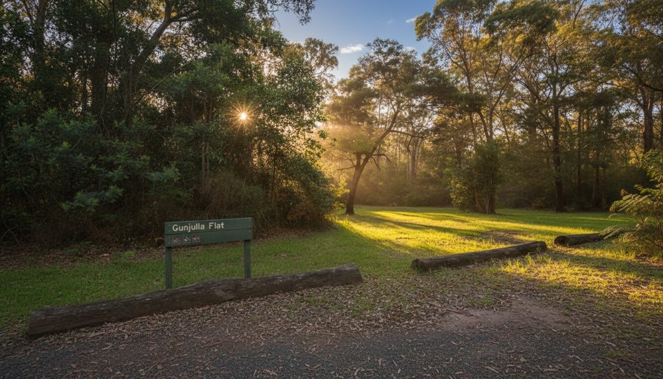
0.2 mi awayGunjulla Flat picnic areaSmall bush picnic stop with easy access and spring birdlifePicnic Table · Parking
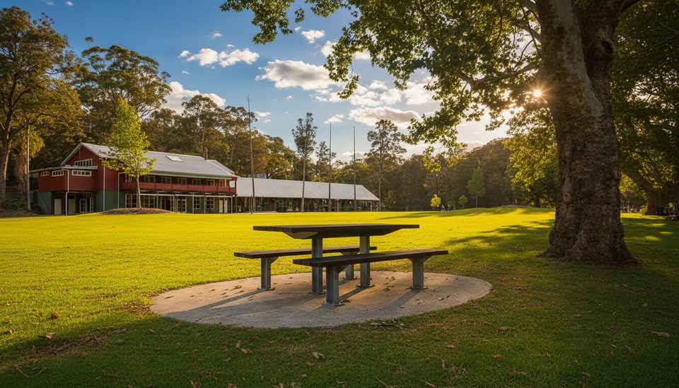
0.8 mi awayWaterfall Flat picnic areaGrassy picnic flat near Waterfall with birds and easy track accessPicnic Table · Parking
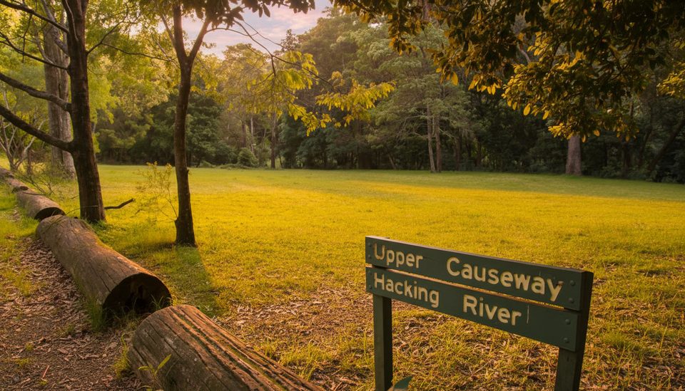
0.8 mi awayUpper Causeway picnic areaSmall rainforest picnic stop and gateway to classic tracksTrailhead · Parking
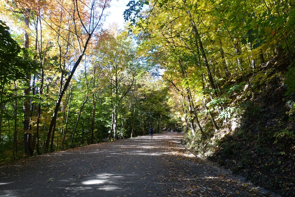
0.9 mi awayForest PathShaded rainforest loop with benches, birds, and creekside calm.Easy · 2.7 mi · 1.3 hr
1.6 mi awayUloola walking trackStation-to-station bushwalk to Uloola Falls and Karloo PoolModerate · 6.8 mi · 4.5 hr
1.6 mi awayPalona Cave TrackRainforest stroll to a limestone cave and a waterfall after rainEasy · 3.2 mi · 1.8 hr
1.6 mi awayUloola Track (Waterfall to Audley)Easy train-to-trail bushwalk from Waterfall to Audley via Uloola FallsModerate · 6.8 mi · 5 hr