Overview
About Upper Causeway Picnic Area
Why stop
- A useful pause before nearby walks or cycling.
Heads up
- No café or kiosk is listed, so bring your own food.
Map
Where it is

The highest, rockiest slopes around here are a summer buffet for grizzly bears.
Royal Tour Guide
Your drive to Upper Causeway Picnic Area, narrated.
Parkwolf is a GPS audio tour guide for Royal National Park. As you drive, it chimes in with what’s ahead: hidden gems, upcoming stops, history, geology, and wildlife, right through your car’s speakers.
See the Royal audio tourRecorded for this place
Forest Path at Southern Lady Carrington Drive“Up ahead is the southern Lady Carrington Drive access, where Forest Path is a good choice for a shorter rainforest walk.”
Plays as you drive up to Upper Causeway Picnic Area in the Parkwolf Royal Tour Guide.
More stories near here in the app
- National Falls Upper Cascade
- A Wallaby in the Undergrowth
- Ancient Currents in the Sandstone
- Inside a Waratah Bloom
- 43 audio storiesacross Royal’s roads, triggered by GPS as you drive
- Wildlife heatmapsfor Humpback Whale, White-bellied Sea-Eagle, Koala, and 13 more
- Works offlinemaps, 69 trails, 58 places, and audio download before you lose signal
- CarPlay readysimple controls built for the drive
“Fantastic app with many points of information… It’s great to just turn on while you’re driving and it gives you an audio tour of the national Park. We love it!!!!”


Guide
More about Upper Causeway Picnic Area
A simple forest-side breakUpper Causeway Picnic Area is a small, rustic roadside picnic stop in the southern forest of…
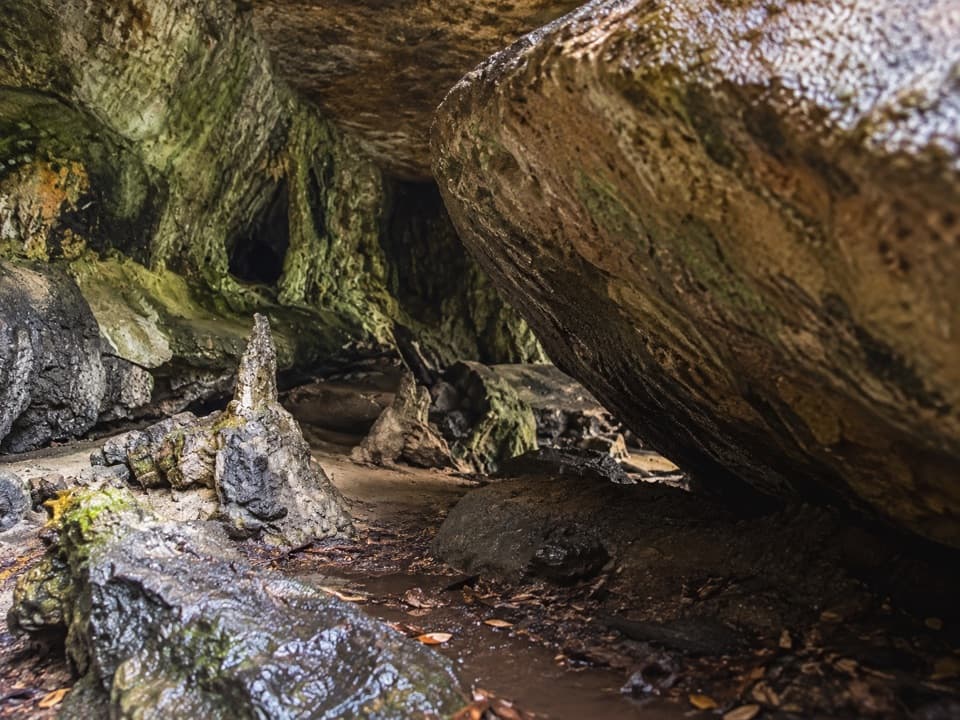
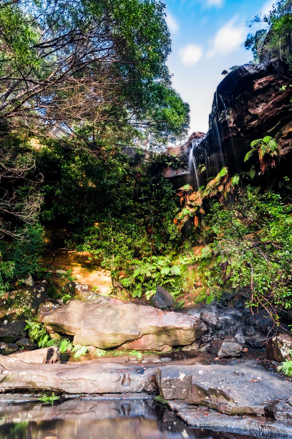
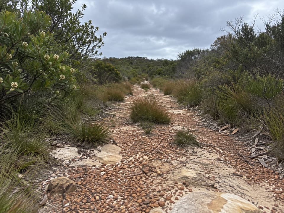
Upper Causeway Picnic Area is a small, rustic roadside picnic stop in the southern forest of Royal National Park, near Waterfall, at McKell Avenue and Lady Wakehurst Drive. It suits a quick meal or rest among rainforest and towering Sydney red gums, especially before setting out on a nearby walk. Cyclists can use it as a break on the park roads. Bring your own food; no café or kiosk is listed.
Add a forest walkThe park recommends this picnic stop before Forest Path, Couranga walking track or Lady…
The park recommends this picnic stop before Forest Path, Couranga walking track or Lady Carrington Drive. Forest Path is a 4.4 km loop beside Bola Creek and Hacking River, passing cabbage tree palms, winter-flowering Gymea lilies and tall eucalypts. It is one of the park's oldest tracks and crosses Forest Island, almost surrounded by the two waterways; community protest helped protect the rainforest from logging. Couranga is 5.1 km one way and passes old sawpits from the area's logging days. Its Hacking River crossing is passable only in dry weather, so check conditions before adding that walk to your day.
Come preparedTreat Upper Causeway as a self-catered stop.
Treat Upper Causeway as a self-catered stop. The park's listing does not confirm a public toilet or drinking water here, so bring water and don't plan around facilities being on site. Roadside parking is available, though current surface and capacity details are not published.
Wildlife
Wildlife in Royal
 56 sightingsHumpback WhaleMost seen around 11 AMSighting map
 70 sightingsWhite-bellied Sea-EagleMost seen around 9 AMSighting map
 12 sightingsKoalaMost seen around 6 PMSighting map
 34 sightingsJavan RusaMost seen around 6 PMSighting map
 70 sightingsShort-beaked EchidnaMost seen around 5 PMSighting map
 11 sightingsRed FoxMost seen around 5 PMSighting map
Sighting maps show where each species has been reported across Royal. Wildlife moves, so no sighting is guaranteed.