Parking
Use the parking area at the southern end of Lady Carrington Drive, off Sir Bertram Stevens Drive. Start at the stone gates; the route follows the drive to the Forest Path turnoff.

#8 of 69 trails in Royal
Royal National Park, NSW
A 4.4 km rainforest loop with creekside paths and river cascades.
Overview
The canopy mixes tall eucalypts and casuarinas with cabbage tree palms, ferns and native flowers. Gymea lilies flower in winter, adding its flower spikes above the green. Forest Island’s name describes the setting: a hill nearly cut off by the Hacking River and Bola Creek, with the trail tracing its lower edge. The track is regarded as one of the park’s oldest; community protest helped protect this patch of rainforest from logging, although the precise date and the people involved are not established.
 Parkwolf’s verdictA forest worth looking at closely
Map & elevation
Plan your hike

The highest, rockiest slopes around here are a summer buffet for grizzly bears.
Royal Tour Guide
Parkwolf is a GPS audio tour guide for Royal National Park. As you drive, it chimes in with what’s ahead: hidden gems, upcoming stops, history, geology, and wildlife, right through your car’s speakers.
See the Royal audio tourRecorded for this trailhead
Forest Path at Southern Lady Carrington Drive“Up ahead is the southern Lady Carrington Drive access, where Forest Path is a good choice for a shorter rainforest walk.”
Plays as you drive up to this trailhead in the Parkwolf Royal Tour Guide.
More stories near here in the app
“Fantastic app with many points of information… It’s great to just turn on while you’re driving and it gives you an audio tour of the national Park. We love it!!!!”


Trail guide
Forest Path is a 4.4 km loop (about 2.7 miles) around Forest Island, a low hill almost ringed by Bola Creek and the Hacking River. Start at the stone gates on Sir Bertram Stevens Drive and allow 1 to 1½ hours, plus whatever time you spend by the water. This is a rainforest walk rather than a viewpoint hike: you get tall eucalypts, dense cabbage palms and stretches beside two waterways, with a different feel from the open coastal tracks nearby. The route is mostly flat, but it is still a bush track, not a paved stroll; expect occasional steps, uneven ground and some obstacles.
From the stone gates, walk north along Lady Carrington Drive for about 800 m, then turn left onto the narrower Forest Path. The wider drive is shaded too, but the change into the enclosed rainforest is the point of the walk. Forest Path first follows Bola Creek, then reaches the Hacking River after roughly 200 m and winds along its bank. The track stays on Forest Island’s lower slopes, so there is no summit or wide panorama. Look for the tall palms and tree ferns overhead, and listen for rainforest birds; lyrebirds and black-faced monarchs have been reported here, though sightings are never guaranteed.
Near 3.3 km from the start, the sound of water leads to a pair of low rocky cascades on the Hacking River. A short, unmarked path drops from the main track to the bank, so watch for the turnoff and make sure you can pick up the main trail again before exploring the rocks. Mossy boulders and logs sit in front of the two shelves; they make the clearest on-route photo, with the river visible behind them. The cascades are modest rather than a high waterfall, but they are a good reason to slow down here.
After the river stretch, follow the Forest Path signs at the Couranga Track junction; taking Couranga would send you onto a different, longer walk. Forest Path returns to Sir Bertram Stevens Drive about 50 m from the stone gates, closing the 4.4 km loop. Parking is available at the southern end of Lady Carrington Drive, off Sir Bertram Stevens Drive. Bola Creek picnic area is beside the route, and Upper Causeway is another nearby picnic stop; food service was not identified. Domestic pets are not allowed in the park, except certified assistance animals. Leeches are repeatedly reported after rain, the main recurring downside to this otherwise shady, water-rich walk.
Wildlife
 56 sightingsHumpback WhaleMost seen around 11 AMSighting map
 70 sightingsWhite-bellied Sea-EagleMost seen around 9 AMSighting map
 12 sightingsKoalaMost seen around 6 PMSighting map
 34 sightingsJavan RusaMost seen around 6 PMSighting map
 70 sightingsShort-beaked EchidnaMost seen around 5 PMSighting map
 11 sightingsRed FoxMost seen around 5 PMSighting map
Sighting maps show where each species has been reported across Royal. Wildlife moves, so no sighting is guaranteed.
Keep exploring
 ModerateForest Island to Calala8.6 km · 3.5 hr · At the trailheadA shaded rainforest walk to a riverside picnic clearing.
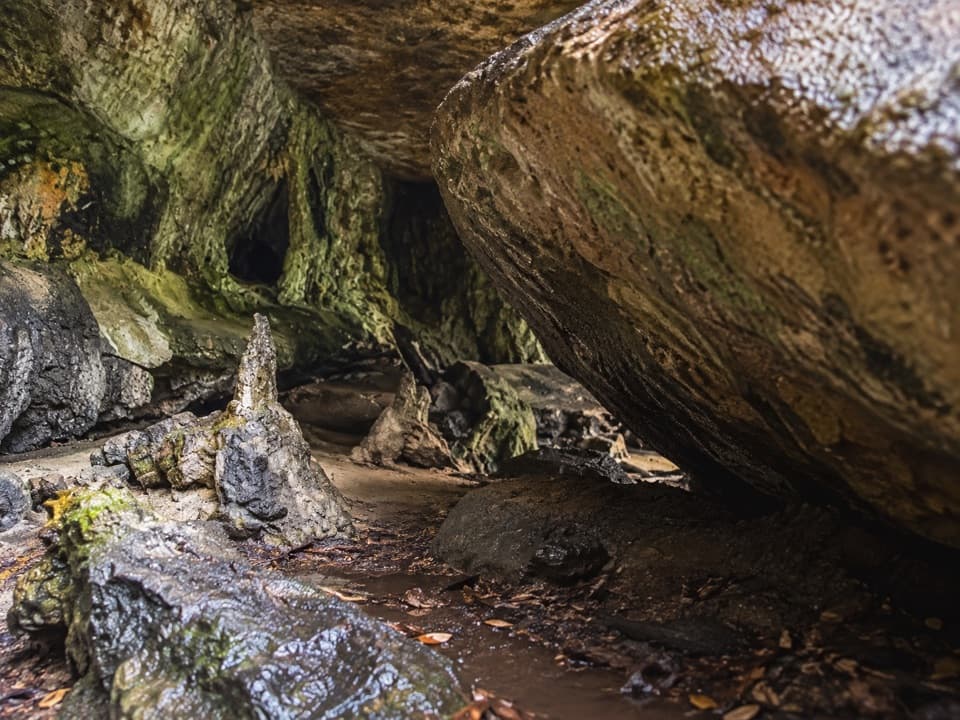 ModeratePalona Cave Walk5.1 km · 2.3 hr · At the trailheadA mellow historic drive, then a rough climb to a cave.
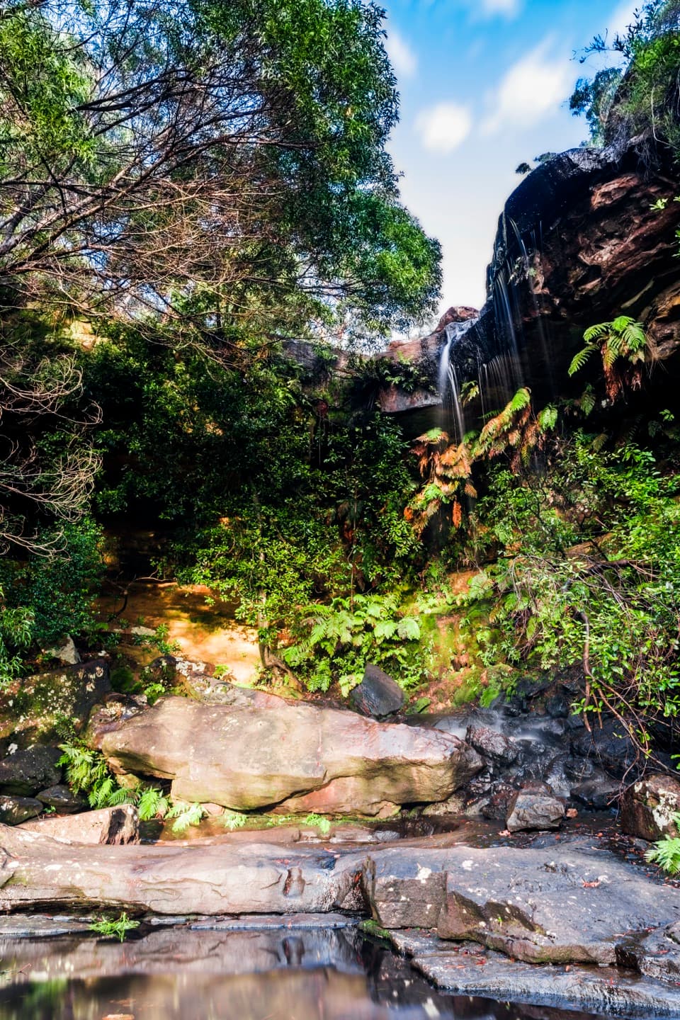 EasyNational Falls Walk0.1 km · 15 min · 1.4 km awayA short stairway drop brings you to the upper falls.
 ModerateWallumarra Track and Forest Path Circuit12.5 km · 4.5 hr · 2.8 km awayRidge heath gives way to a palm-lined loop beside Bola Creek.
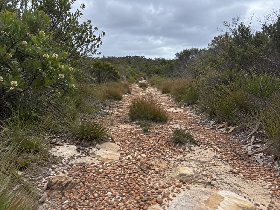 ModerateWallumarra Track to Bola Creek Walk4.7 km · 1.5 hr · 2.8 km awaySand, stone steps, then a shaded walk beside Bola Creek.
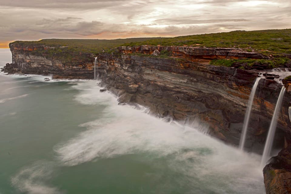
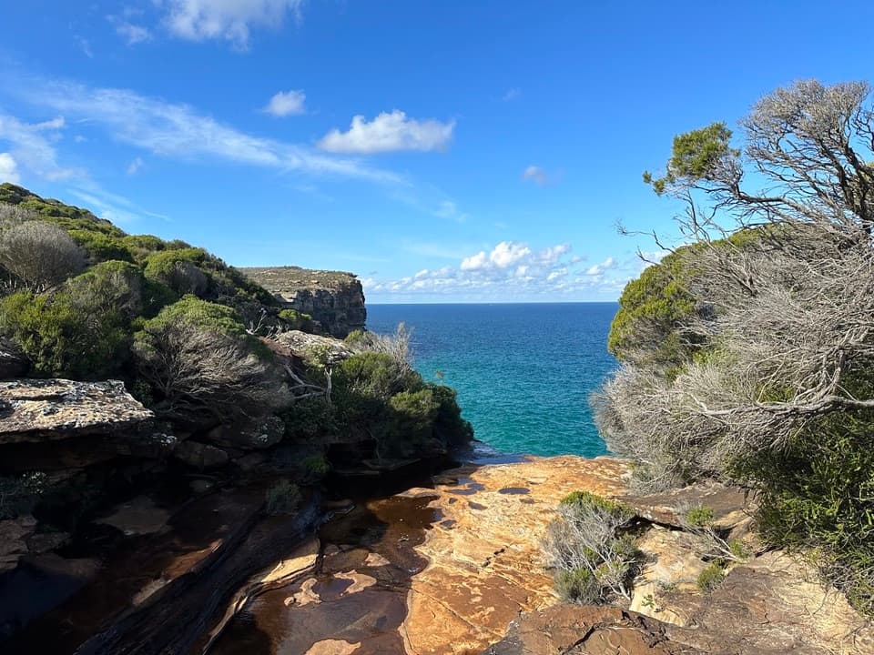 ModerateCurra Moors Loop Track10 km · 4.5 hr · 2.9 km awayHeath, sandstone cliffs, and a waterfall that pours straight into the sea.
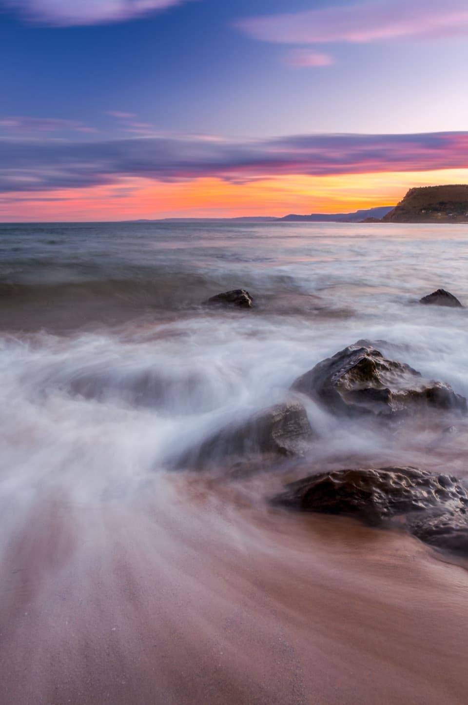 ChallengingCurra Moors to Garie Beach9 km · 3.5 hr · 2.9 km awayA heathland walk that drops from the moors to Garie Beach.
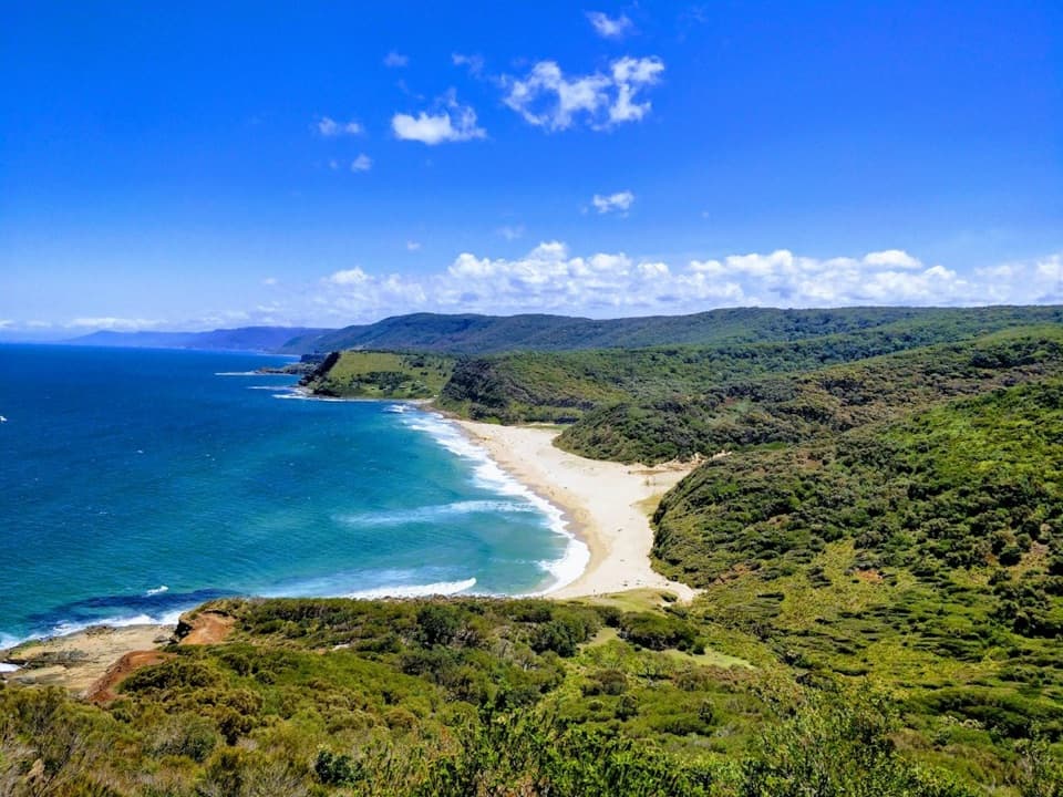 ChallengingStockyard Spur to Garie Beach Walk3.5 km · 1.3 hr · 3.1 km awayA short ridge walk links coastal shacks, coves, and Garie Beach.
 Picnic area · 0.4 km awayUpper Causeway Picnic AreaA quick picnic pause before a forest walk or bike ride.
 Sight · 1.4 km awayNational FallsAn easy roadside waterfall stop, best after rain.
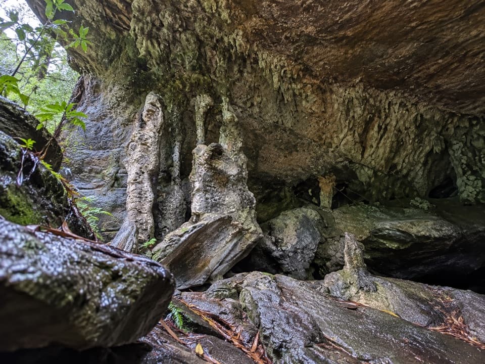 Sight · 1.5 km awayPalona CaveA shaded overhang and small waterfall reward a rainforest walk.
 Picnic area · 1.6 km awayGunjulla Flat Picnic AreaA shaded pause on McKell Avenue, with spring birds in the heath.
 Picnic area · 2.4 km awayWaterfall Flat Picnic AreaA quick picnic beside heathland frequented by nectar-feeding birds.
 Sight · 3.3 km awayGovernor Game LookoutA wide coastal pause on the road to Garie Beach.
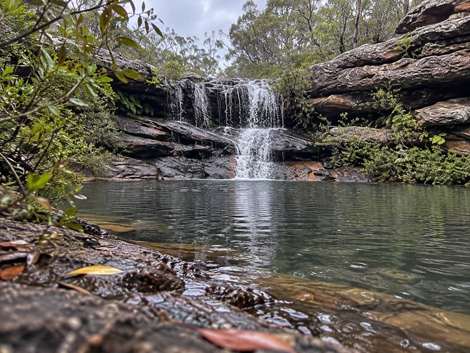 Sight · 3.6 km awayKangaroo PoolA rock-walled creek pool with a small waterfall.
 Picnic area · 4.1 km awayRed Cedar Flat Picnic AreaA handy grassy pause before nearby loop walks.
Parkwolf’s Royal ranking
The audio tour guide for the drive, plus offline maps, trails, and wildlife heatmaps for when the signal drops.