Pros & cons
PROS
- Raised boardwalk sections keep the coastal heath crossing quick and tidy
- Scenic ledges and viewpoints en route often beat the fenced final viewpoint
CONS
- Iconic feature is fenced off, so no classic “on the rock” photo
- No toilets or water on the track—plan ahead
- Very popular on weekends and holidays
Street parking in Bundeena near the Beachcomber Avenue trailhead; no parking at the rock itself. Park entry fees apply if parking within Royal National Park.
Access onto Wedding Cake Rock is closed and fenced due to unstable, undercut cliffs; fines apply for crossing. Limited phone reception, exposed cliff edges, no water or toilets, and track closures on Total Fire Ban days.
Overview
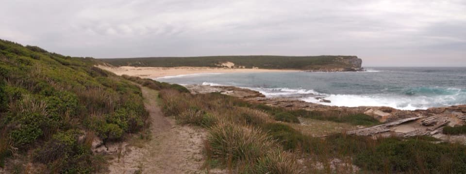
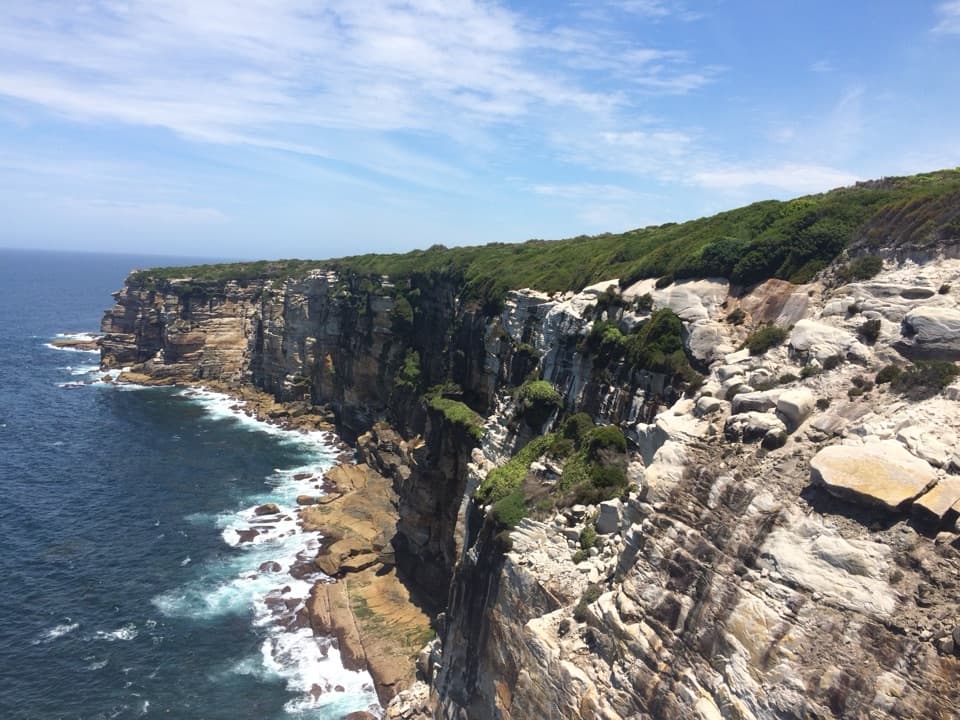
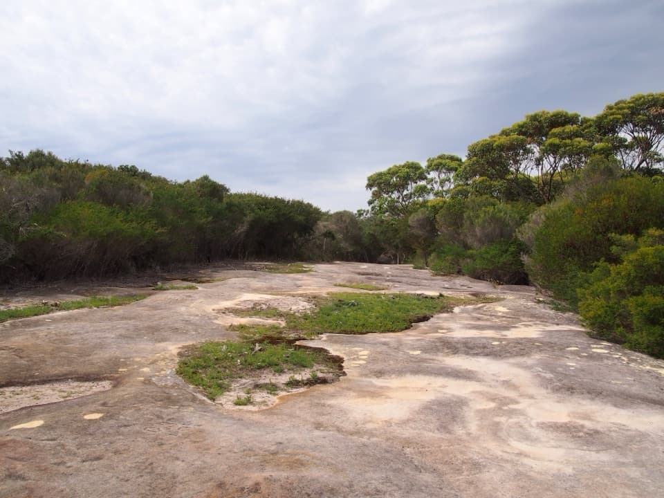
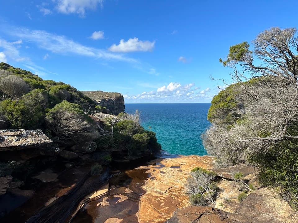
This short slice of the Coast Track runs from Bundeena to the famous Wedding Cake Rock—an eye‑catching, bright‑white sandstone slab teetering above the Tasman Sea. The rock’s pale color comes from iron leaching, which also makes it dangerously soft. Because it’s unstable, access onto the formation is fenced and strictly closed. The payoff here is the journey: sweeping cliff‑top views, heathland, and textured yellow sandstone ledges that, frankly, outshine the fenced finale.
Route and Distance
Start at the end of Beachcomber Avenue in Bundeena and follow the Coast Track south. Plan on roughly 6–7 km return (about 3.7–4.3 miles) and around 2 hours total, depending on stops. Expect a mostly easy walk with a few rocky or stepped sections and stretches of raised boardwalk. Along the way you’ll pass photogenic spots like The Balconies and The Waterrun before reaching the viewing fence opposite Wedding Cake Rock. This is an out‑and‑back; turn around at the fence.
What You’ll See
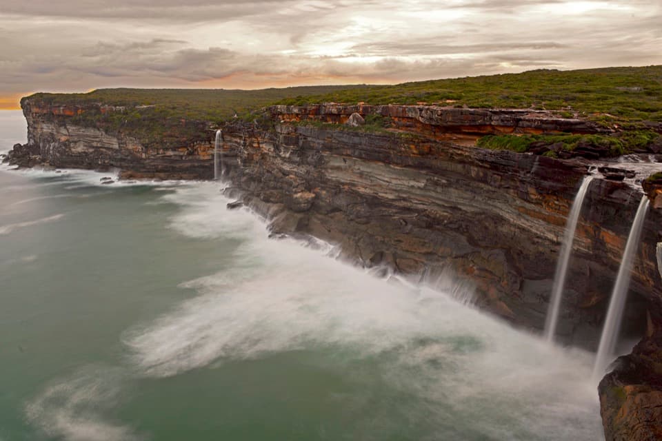
Coastal heath and headland platforms dominate the scenery, with the white “cake slice” stark against golden cliffs and deep blue water. In season, the track is a good vantage for whales offshore, and dolphins are spotted at times. Keep an eye on the ground in warmer months—snakes have been seen under the boardwalks.
Best Time to Hike
Autumn and spring bring pleasant temperatures and clearer air. Winter (June–October) is prime for whale sightings. Weekends and public holidays get busy; aim for early or midweek for a quieter walk and easier photos without queues at the fence.
Access and Parking
There’s no carpark at the rock itself. Park in Bundeena near the Beachcomber Avenue trailhead and walk in. If you park within Royal National Park, standard park entry fees apply. Public transport is a workable option: train to Cronulla, ferry to Bundeena, then walk to the trailhead.
Know Before You Go
The rock is closed to public access—do not cross the fence or approach cliff edges. Penalties apply, and the cliff is actively unstable. There are no toilets, drinking water, or bins along this section; carry what you need and pack out rubbish. Phone reception can be patchy. On Total Fire Ban days, walking tracks in the park may close.
Where it starts
-34.0910, 151.1354Wildlife on this trail
Near Wedding Cake Rock Track
All places →All trails →
0.5 mi awayBonnie Vale campgroundWaterfront camping with hot showers and a calm sand spitCampground · Restroom
0.6 mi awayCabbage Tree Basin BoardwalkQuiet mangrove walk with birds, water views and old storiesScenic Viewpoint
0.7 mi awayBonnie Vale to Maianbar BoardwalkBeach, boardwalk, and a tide wade to Maianbar’s mangroves.Easy · 3.6 mi · 1.5 hr
0.7 mi awayBonnie Vale BeachCalm, shallow bay with grassy picnics and easy ferry accessRestroom · Parking
1.1 mi awayCoast Track: Bundeena to WattamollaClassic cliff top walk to beaches, Wedding Cake Rock, and Wattamolla.Moderate · 6.2 mi · 5.5 hr
1.1 mi awayWedding Cake Rock and Big Marley Circuit WalkFamed white rock, better coastal views on the loop to Big Marley.Moderate · 4.8 mi · 2.5 hr
1.2 mi awayThe Coast TrackClifftop epic with beaches, whale watching, and a ferry-train finishModerate · 16.2 mi · 9.5 hr
1.5 mi awayThe WaterrunSculpted sandstone ledges and a creek crossing above the ocean