
Place · 0.9 mi away
Moderate
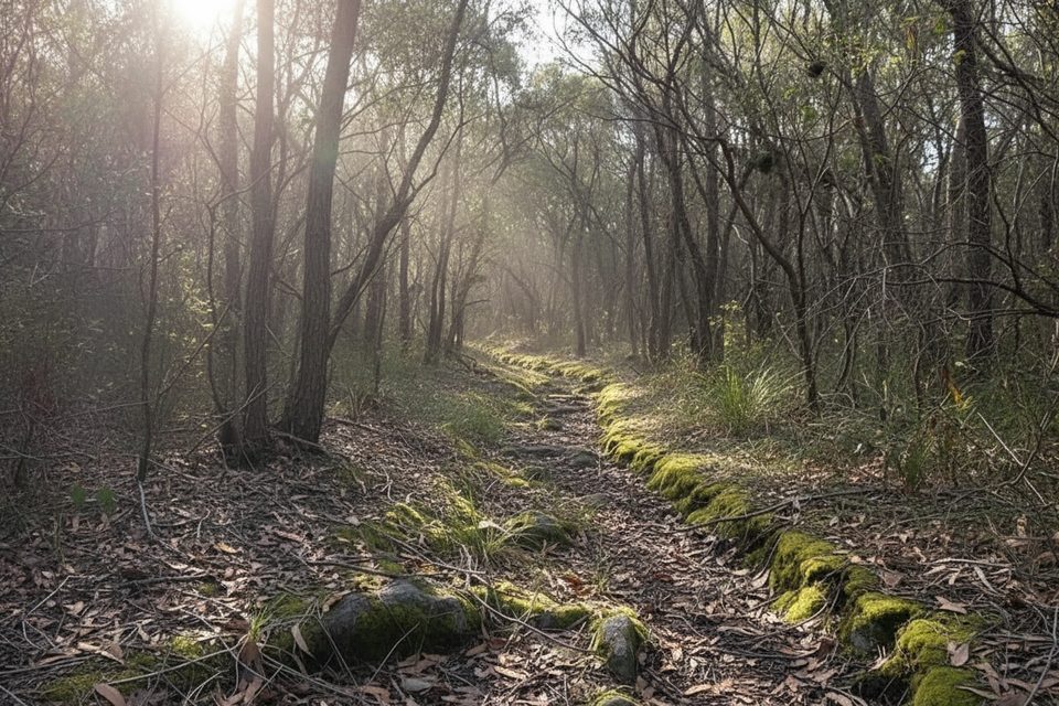
A solid middle-distance walk that pays off late. Couranga Walking Track is roughly 10.2 km return (6.3 miles) with about 295 m of total ascent. It’s moderate overall and usually takes 2.5–3.5 hours. The first 1.1 km follows the Uloola Track fire trail from Waterfall Station before narrowing to singletrack. The opening kilometres wander through dry eucalypt—fine but forgettable—before dropping to surprisingly lush creekside rainforest.
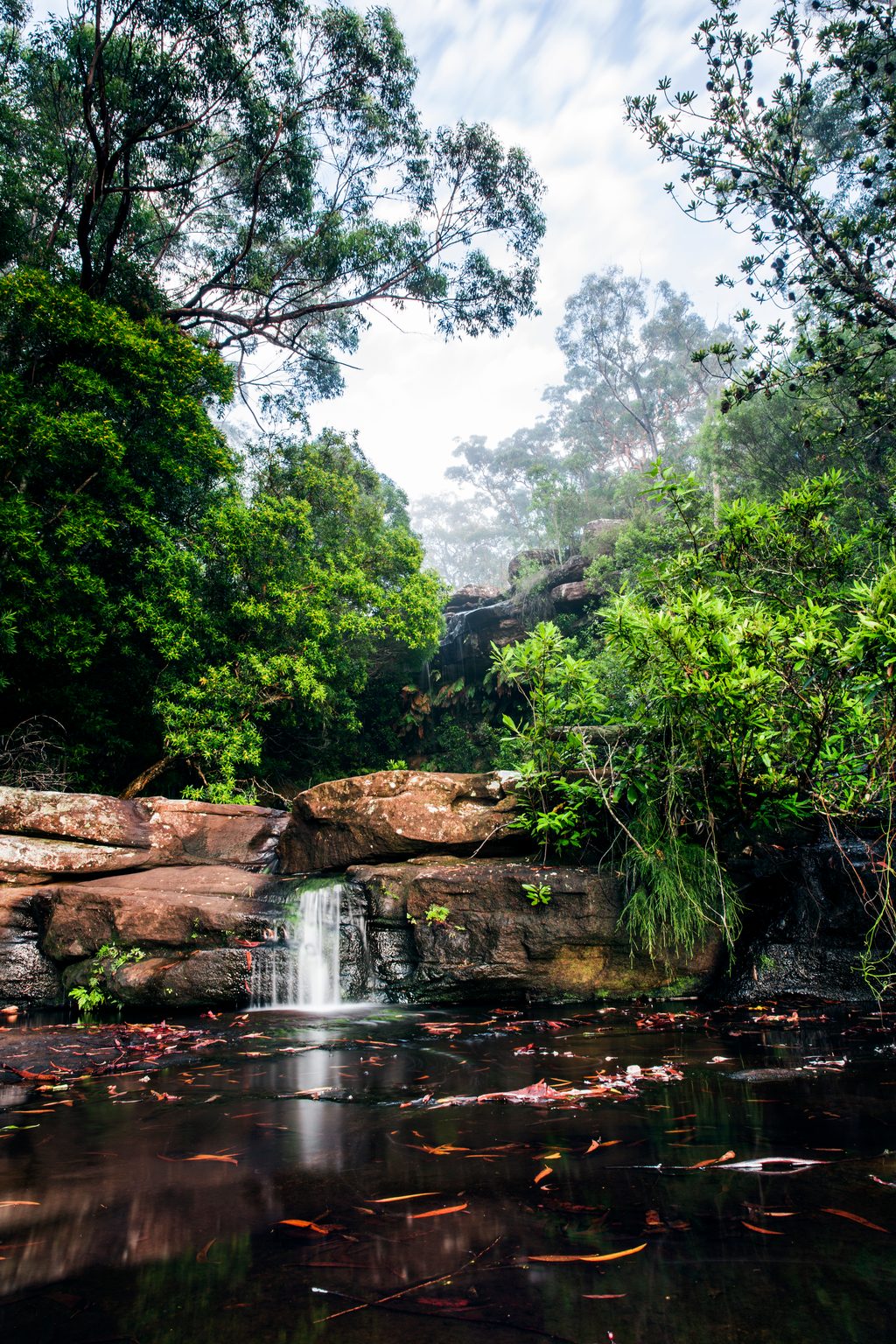
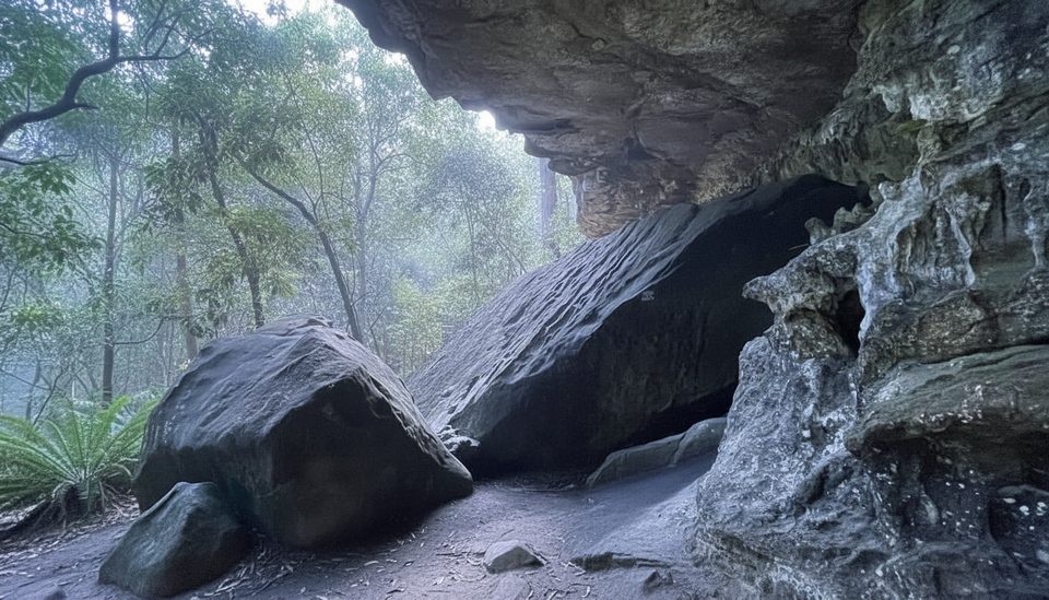
From Waterfall Station, follow the Uloola Track for ~1.1 km, then turn right onto Couranga. Expect 2–2.5 km of fairly unremarkable dry bush, then a rocky 600 m descent. Past ~3 km, the vibe flips: tree ferns and cabbage tree palms line a cool, damp gully as the track follows the creek. Around ~4.25 km, a short side path leads to cascades and mossy boulders—pretty, but the water can be affected by urban runoff, so it’s more for photos than a dip. Continue to the Hacking River; in dry weather you can cross and link with the Forest Path. Near the southern end there’s a sombre memorial that can catch people off guard. Retrace your steps: the climb back includes a steep, rubbly section that accounts for most of the elevation, then it eases onto the fire trail to finish.
Start and park at Waterfall Train Station (no parking fee), or arrive by train—about an hour from Central. If you begin on foot from the station you typically avoid vehicle entry fees; vehicles entering the park elsewhere must pay. Royal National Park is generally open 7:00am–8:30pm. There’s no reliable drinking water on the route and mobile reception can be limited—carry what you need and an offline map.
Sections can be muddy after rain, especially near the creek and at the river. The steep, loose descent/ascent demands care. Only attempt the Hacking River crossing in dry conditions; skip it if flows are up.
Spring brings heathland wildflowers and nectar-loving birds up high; the rainforest stays shaded and cool year-round. After rain, expect mud and an uncrossable river. This isn’t the park’s most dramatic walk, but the rainforest middle section is genuinely lovely if you time it dry.
Free parking at Waterfall Train Station; follow Uloola Track ~1.1 km to the Couranga turnoff. Alternative start from McKell Avenue.
Hacking River is only crossable in dry weather; track can be muddy after rain with a steep, loose descent/ascent and limited mobile reception.
Place · 0.9 mi away
Place · 1.5 mi away
Place · 1.6 mi away
Place · 1.6 mi away
Moderate · 0 mi away
Moderate · 0 mi away
Easy · 2.2 mi away
Easy · 2.3 mi away

Parkwolf Tour Guide
