
Place · 1.2 mi away
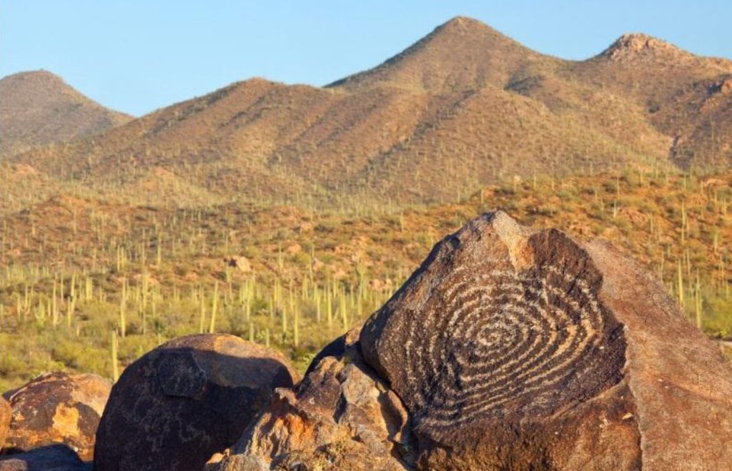
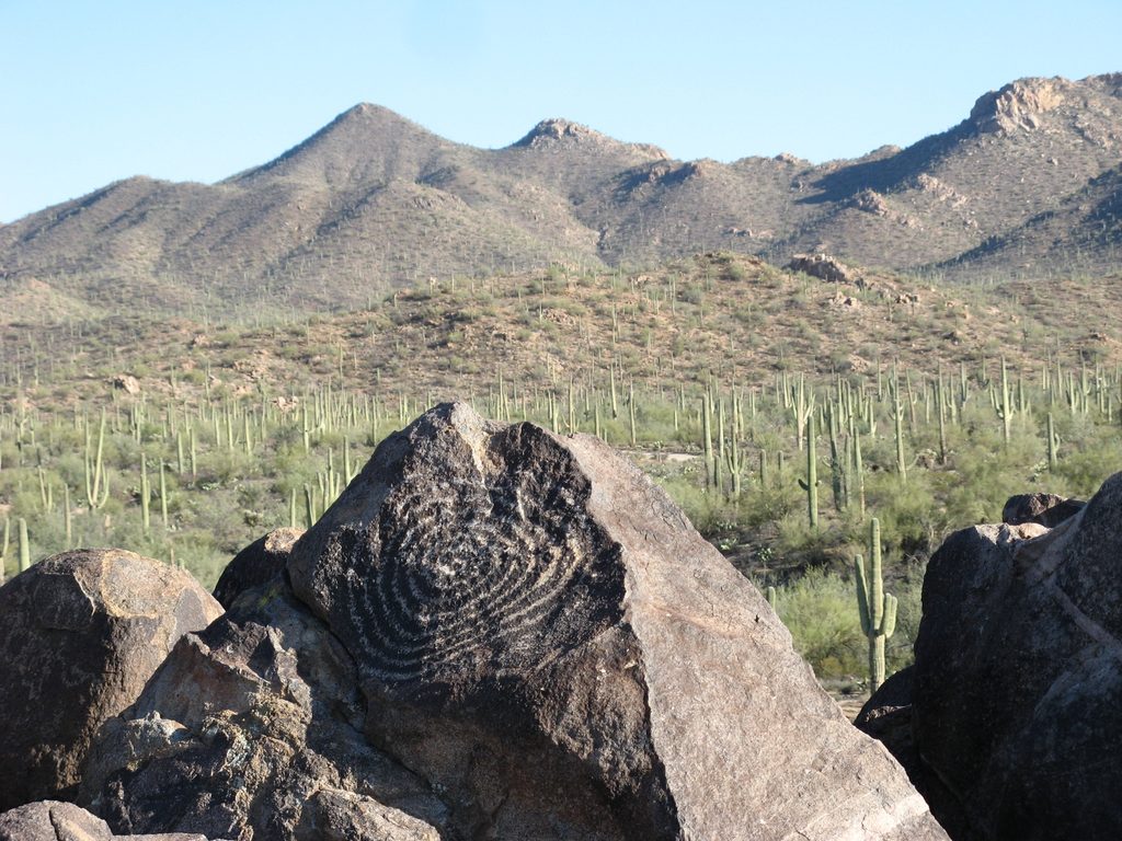
Perched atop a low hill in the park’s Tucson Mountain District, Signal Hill is the west side’s marquee rock‑art stop. More than 200 petroglyphs—many pecked into the desert‑varnished boulders 550–1,550 years ago by the Hohokam—cluster near the summit. It’s a tiny effort for big payoff: ancient designs and wide Sonoran Desert views.
Expect classic spirals, geometric patterns, and stylized figures etched into dark‑patinated rocks, their lighter interiors exposed by pecking. You’ll also find animal forms and plant‑like motifs. The exact meanings aren’t definitive—possibilities range from ritual and records to boundary markers—but standing among them is undeniably evocative.
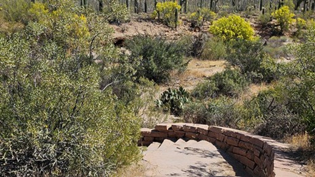
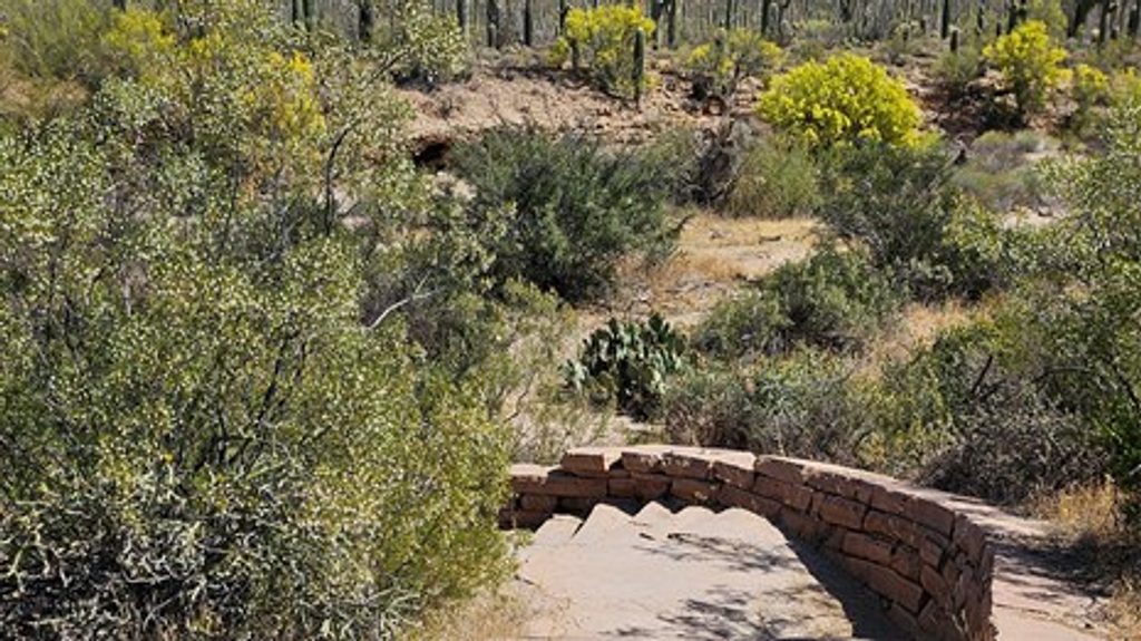
A roughly 0.3‑mile out‑and‑back climbs stone steps to the top, with about a few dozen feet of gain. The path is short but includes uneven rock stairs and some narrow segments. Most visitors spend 10–30 minutes here, plus whatever time you linger at the summit boulders.
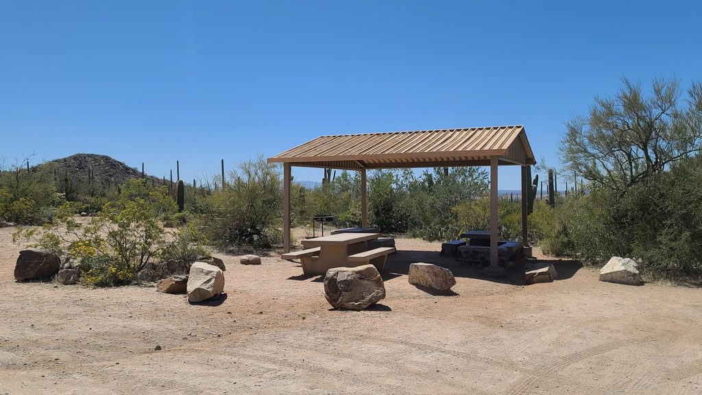
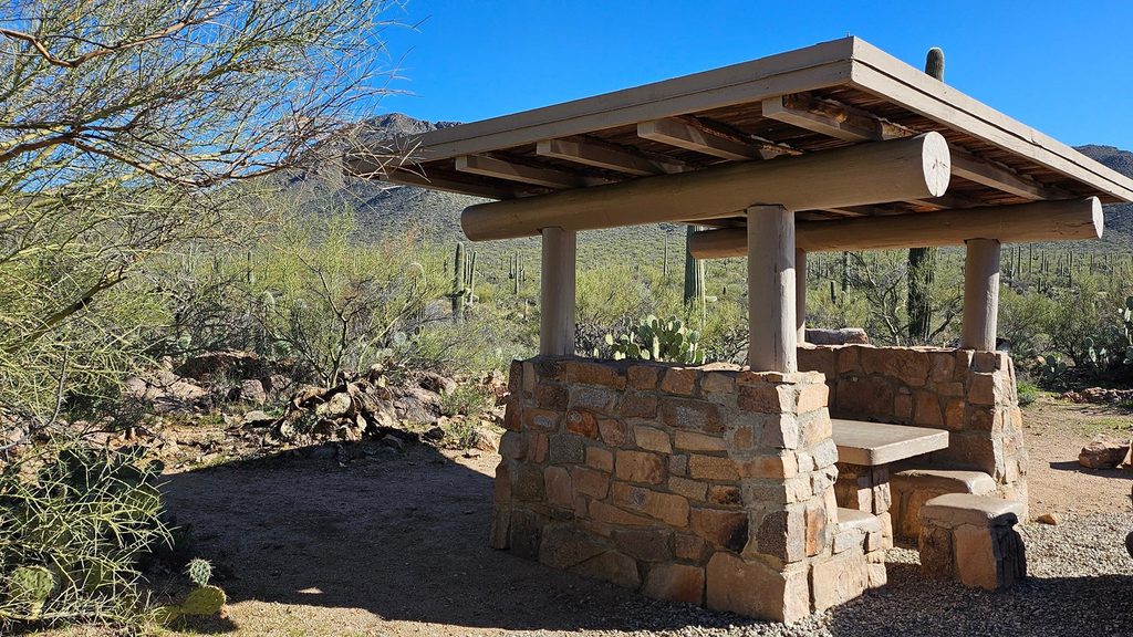
Signal Hill doubles as a pleasant picnic stop: tables (some shaded), a shelter, grills, and vault toilets sit by the loop parking area. The picnic area dates to the 1930s Civilian Conservation Corps era and was the largest CCC‑built picnic area in the Tucson Mountains. Bring your own drinking water; none is available at the restrooms.
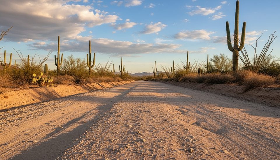
Access is via the Bajada Loop Drive—an unpaved road passable to most passenger cars in normal conditions. Parking is a small loop lot at the base of the hill; if it’s full, you can walk in on the Manville Trail for about two miles round trip.
Do not touch, lean on, or climb the petroglyph boulders—skin oils and abrasion permanently damage them. Stay on the designated path and leave everything as you found it. Give any wildlife (including rattlesnakes) space.
Go early or late for softer light that makes the engravings pop and to avoid heat; sunset is especially photogenic from the hilltop. Midday brings glare and little to no shade. Check current hours/road status before you head out.
Place · 1.2 mi away
Place · 1.2 mi away
Place · 1.3 mi away
Place · 2.3 mi away
Easy · 0.1 mi away
Easy · 1.2 mi away
Challenging · 1.4 mi away
Easy · 2 mi away

Parkwolf Tour Guide
