
Place · 8.5 mi away
Easy
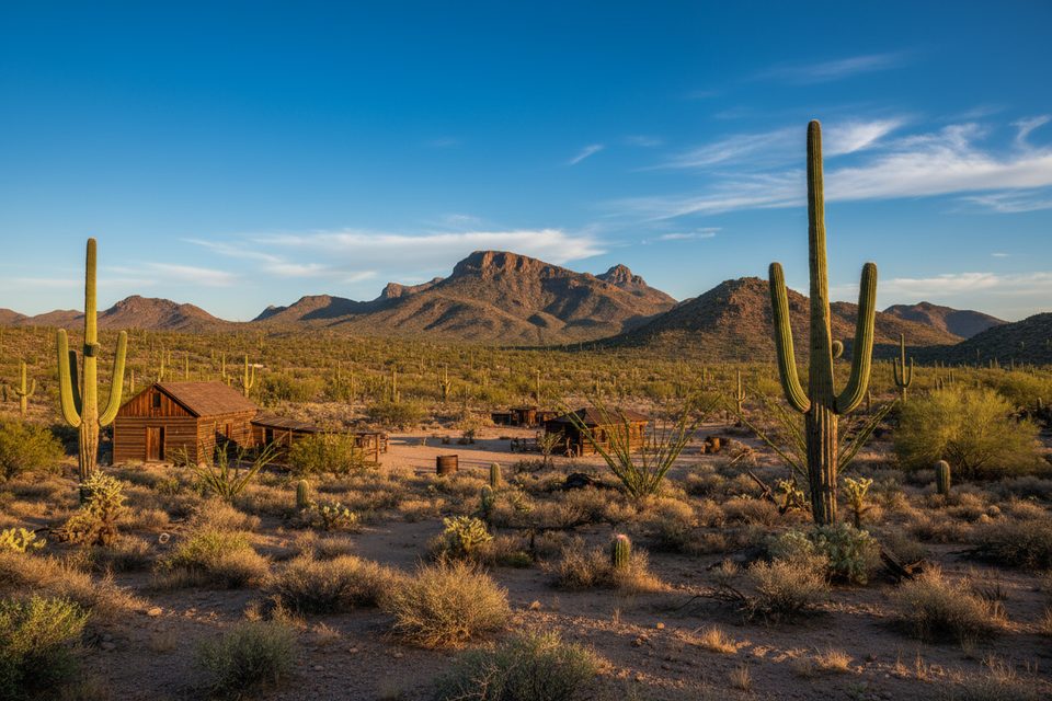
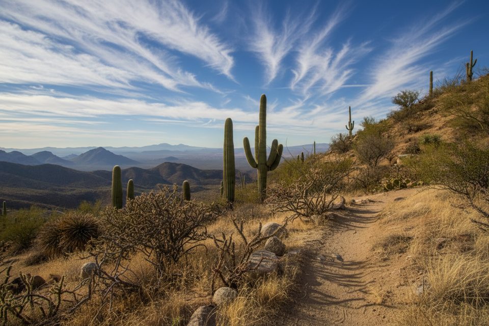
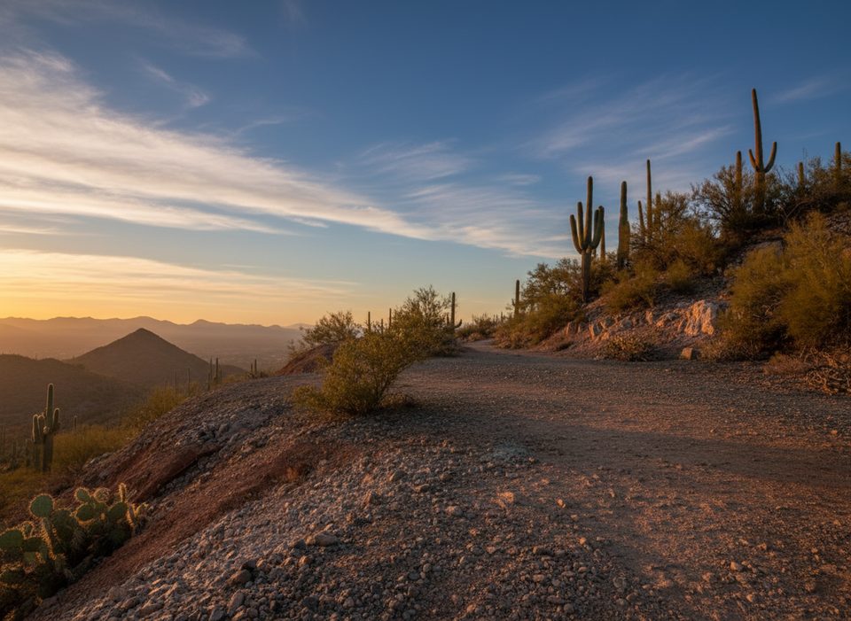
This is a low-effort, high-reward desert walk in Saguaro West. The classic way to do it is a 3.6-mile total out-and-back to Signal Hill, an easy grade with roughly 100 feet of gain. Expect full sun, sandy tread, and a steady parade of saguaros and cholla. It’s family-friendly and a great first hike in the district if you want the Sonoran feel without the suffering.
Two reasons: petroglyphs and desert immersion. Signal Hill’s rock art (please look, don’t touch) is the cultural cherry on top of a mellow stroll through a dense saguaro forest, with occasional Tucson Mountain views. Spring often adds wildflowers, and wildlife sightings are possible—keep an eye out for cactus wrens, lizards, and the occasional coyote.
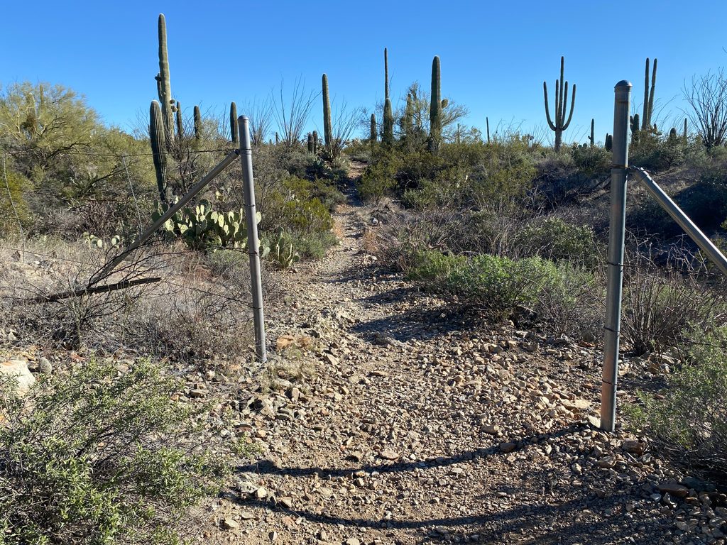
Natural dirt and sand with short rocky bits, no shade, and well-marked junctions. Parts of the southern sections and washes can be deep sand—plan on a slower pace than the numbers suggest. You may hear road noise near Sandario Road on the north end; it fades as you get deeper into the desert.
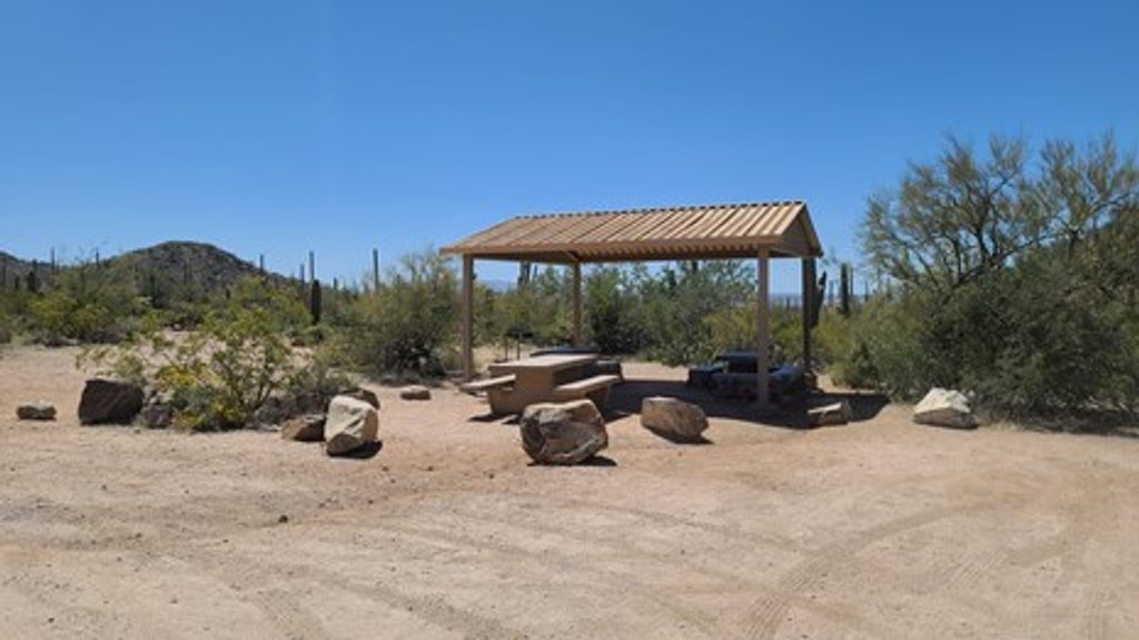
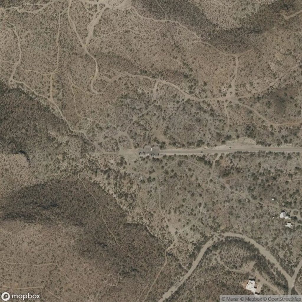
Two practical starts: a very small pullout at Rudasill Road just east of Sandario Road (Access Point 3), or the larger Signal Hill Picnic Area. If you start at Signal Hill, you’ll connect via the Signal Hill Trail to reach Cactus Wren. Restrooms are at Signal Hill; none at the Rudasill access. Lots can fill on fair-weather weekends. An entrance pass is required.
You’re walking through the Tucson Mountain District’s volcanic story—Signal Hill’s boulders hosting the petroglyphs are granodiorite coated with dark desert varnish. Broad bajadas, tuffs, and red beds shape the open views; it’s a great place to slow down and notice the landscape details.
Go November–April for cooler temps and the best light. Start at sunrise for soft photography and wildlife activity, or late afternoon for warm glow on the saguaros. Summer can be brutally hot; mornings only, and watch for monsoon storms.
Wear closed-toe shoes (cholla happens), bring more water than you think you need, and pack sun protection. No pets on this trail. Rattlesnakes are more active spring through fall—watch your step. At the petroglyphs, stay on the trail and leave the rock art untouched.
Tiny pullout on Rudasill Rd just east of Sandario Rd (Access Point 3), or use the larger Signal Hill Picnic Area lot (restrooms) and connect via the Signal Hill Trail to Cactus Wren.
Full sun and heat with no shade; sandy washes make footing slow; respect protected petroglyphs; no pets; summer monsoon storms and lightning possible; watch for rattlesnakes.
Place · 8.5 mi away
Place · 8.6 mi away
Place · 8.8 mi away
Place · 9.8 mi away
Challenging · 2.8 mi away
Moderate · 8.5 mi away
Moderate · 8.5 mi away
Easy · 8.5 mi away

Parkwolf Tour Guide
