
Place · 0 mi away
Easy
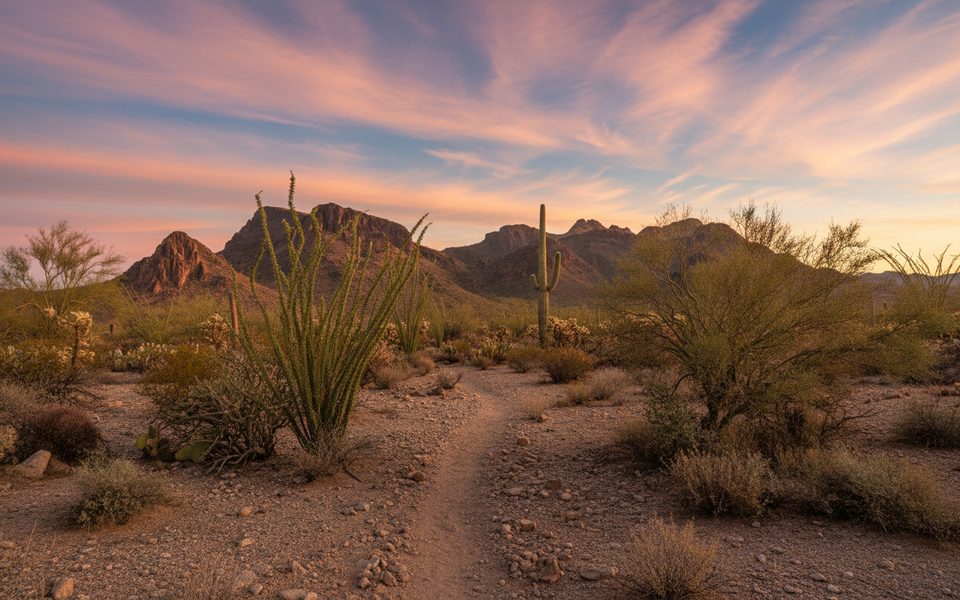
Set in the Tucson Mountain District (west), the Roadrunner Trail is a mellow desert walk with outsized views of the rugged Tucson Mountains, including Panther Peak and Safford Peak—sometimes nicknamed the “Tucson Chaos.” Most hikers do it as a loop that starts at the Cam-Boh Picnic Area, uses the Cam-Boh Trail to Panther Peak Wash, then connects with the Roadrunner Trail before returning to Cam-Boh. That loop is about 4.3 miles total with roughly 200 feet of gain and typically takes around 1 hour 25 minutes.
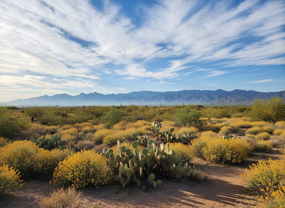
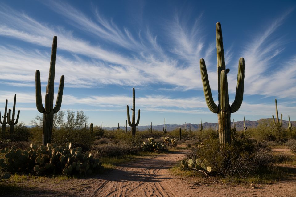
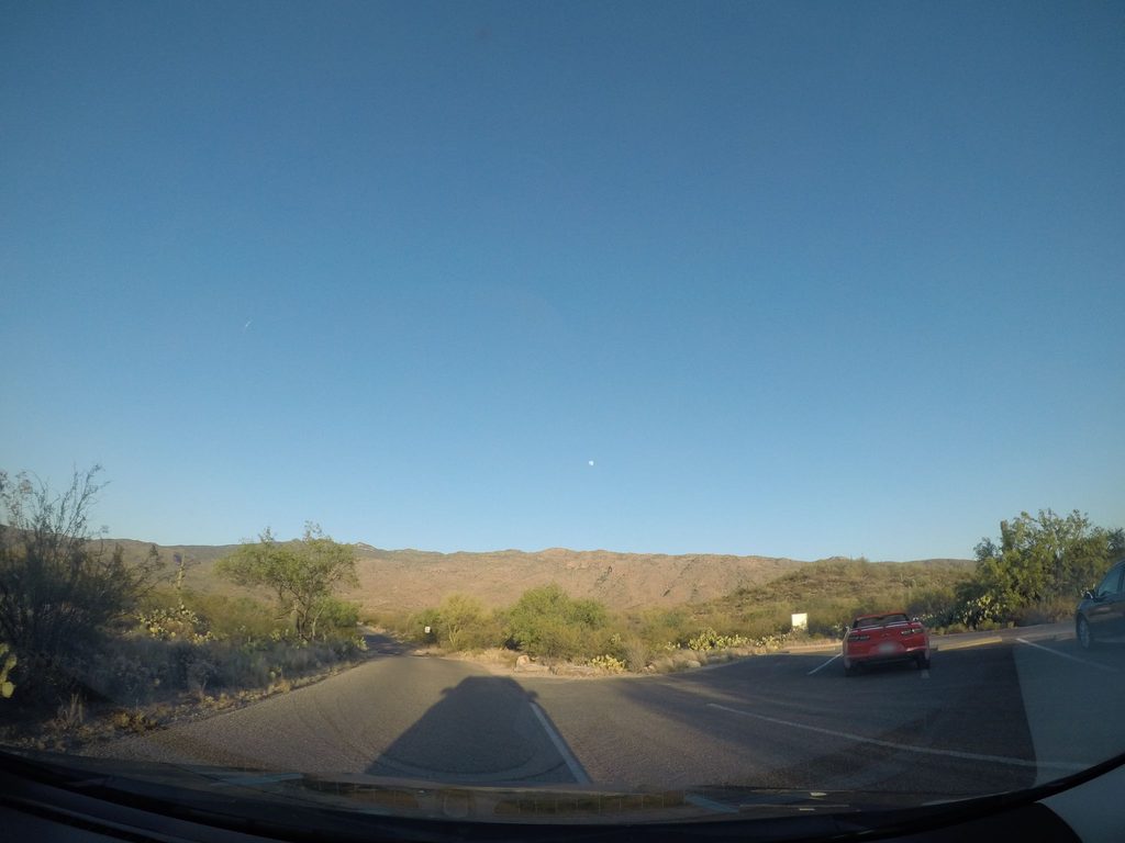
Expect classic Sonoran Desert tread: stretches of sandy wash walking mixed with firmer singletrack and some loose gravel underfoot. Shade is scarce. The north end of the trail is cholla country—beautiful and photogenic, but keep your distance. You’ll cross Picture Rocks Road early on; it’s busy, so use caution. Views open quickly toward the Tucson Mountains, with Panther Peak a constant landmark.
If you’re short on time, the standalone Roadrunner Trail segment is about 1.16 miles one way, and there’s also a shorter loop variation around 2.3 miles with modest elevation change. The 4.3-mile Cam-Boh → Panther Peak Wash → Roadrunner loop delivers the best mix of scenery and easy navigation.
Overall, this is an easy walk with light elevation, but the sandy wash sections can make it feel a notch harder than the stats suggest. Trekking poles are optional but handy in soft sand and loose gravel.
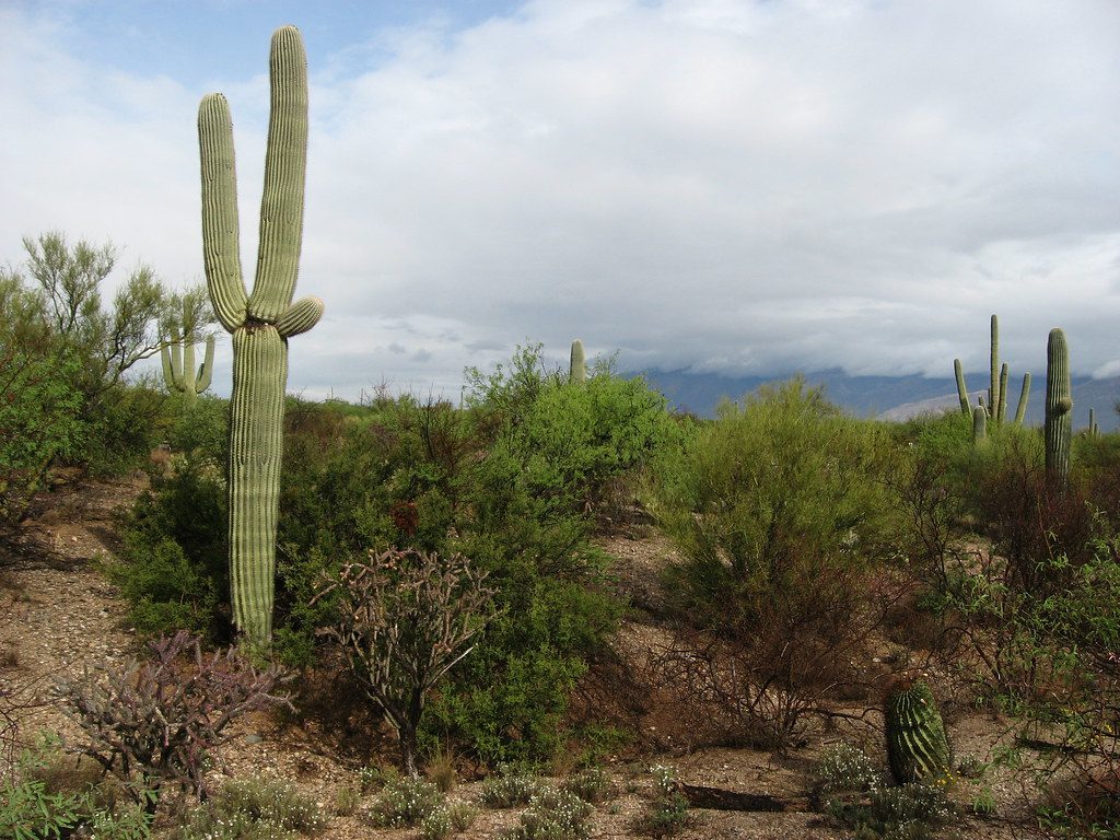
You’ll pass a variety of desert plants, with cholla especially common near the north end. Wildlife sightings are hit-or-miss, but keep an eye on open ground for roadrunners. Also be mindful of rattlesnakes, especially in warmer months.
Start early, especially in warm seasons. Plan on drinking about a quart of water per hour in hot, dry conditions. The Picture Rocks Road crossing demands attention. In the cholla zone, a plastic comb and tweezers can save the day if you brush a segment. Avoid hiking washes during or after storms due to flash-flood potential. Sturdy, closed-toe footwear is strongly recommended. No permit is needed for day hiking; overnight trips in the park’s backcountry do require permits. Pets aren’t allowed on this trail.
Cooler months shine here. Aim for early morning for lower temps and softer light on the Tucson Mountains. Late afternoon works too, but keep an eye on daylight if you’re opting for the longer loop.
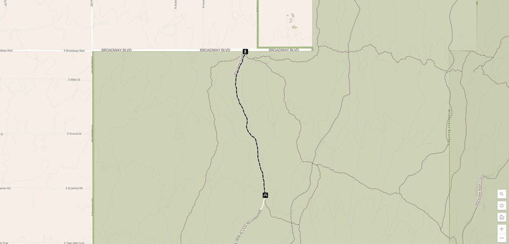
Park at the Cam-Boh Picnic Area off Picture Rocks Road; the trail begins here and immediately crosses the road.
Full sun exposure and heat; carry ample water. Use care crossing Picture Rocks Road. Cholla spines are common on the north end—carry a comb and tweezers. Avoid wash sections during or after rain due to flash-flood risk.
Place · 0 mi away
Place · 1 mi away
Place · 1.1 mi away
Place · 1.6 mi away
Easy · 0 mi away
Easy · 0.5 mi away
Easy · 0.6 mi away
Easy · 0.8 mi away

Parkwolf Tour Guide
