Parking
Start at Mica View Picnic Area on Cactus Forest Loop Drive, where parking is available. Broadway Trailhead provides the other access point.

Saguaro National Park, AZ
A broad cactus walk with Mica Mountain in view.
Overview
Map & elevation
Plan your hike

The highest, rockiest slopes around here are a summer buffet for grizzly bears.
Saguaro Tour Guide
Parkwolf is a GPS audio tour guide for Saguaro National Park. As you drive, it chimes in with what’s ahead: hidden gems, upcoming stops, history, geology, and wildlife, right through your car’s speakers.
See the Saguaro audio tourRecorded for this trailhead
Mica View: A Picnic and a Poem“You’re coming up on the access road for Mica View Picnic Area, a good place for a shaded meal break. The road is unpaved, and the picnic area has a large shelter with tables and grills.”
Plays as you drive up to this trailhead in the Parkwolf Saguaro Tour Guide.
More stories near here in the app
“Fantastic app with many points of information… It’s great to just turn on while you’re driving and it gives you an audio tour of the national Park. We love it!!!!”


Trail guide
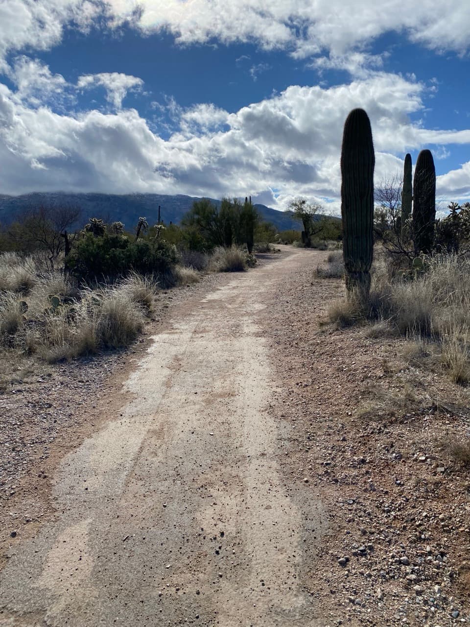
Mica View Trail is an easy, 0.7-mile one-way path between Mica View Picnic Area and Broadway Trailhead in Saguaro's Rincon Mountain District. Walk 1.4 miles out and back and allow about 30 to 60 minutes. It brings you close to saguaros and other low-desert plants, with views toward Mica Mountain, the park's highest peak. Turn around at Broadway; the separate two-mile loop adds neighboring trails.
The route crosses low desert vegetation on a broad, mostly level path. Its listed width is consistently 60 inches, with a typical grade of 1.8% and a maximum of 7.5%. The return follows the same corridor, so this is a gentle walk for looking closely at the cactus forest rather than a climb to a summit.
The route is listed as ADA-standard and 60 inches wide, but its surface is described inconsistently: the access information calls it paved, while photos of the trail show compact gravel and at least one looser sandy patch. If your mobility aid needs asphalt-smooth footing, compare the photos or confirm the surface with a ranger before setting out.
Mica View Picnic Area has parking, picnic shelter, tables, grills and restrooms, including vault or composting toilets. Leashed dogs are allowed on this trail. Bicycles, vehicles and overnight use are prohibited. There is also access at Broadway Trailhead.
Wildlife
 19 sightingsBlack BearMost seen around 6 AMSighting map
 56 sightingsMountain LionMost seen around 6 AMSighting map
 266 sightingsMule DeerMost seen around 6 PMSighting map
 113 sightingsCollared PeccaryMost seen around 6 PMSighting map
 53 sightingsBobcatMost seen around 6 AMSighting map
 127 sightingsCoyoteMost seen around 6 PMSighting map
Sighting maps show where each species has been reported across Saguaro. Wildlife moves, so no sighting is guaranteed.
Keep exploring
 EasyMica View/Cactus Forest Loop2 mi · 1 hr · At the trailheadYoung saguaros, desert birds, and mountain views on a flat loop
 EasyDesert Ecology Trail0.3 mi · 15 min · 0.6 mi awayA short paved loop with benches and signs about Sonoran Desert ecology.
 ModeratePink Hill Trail3 mi · 2 hr · 0.6 mi awayA short desert climb to pink soil and wide mountain views.
 EasyShantz, Cholla, and Cactus Forest Loop5.1 mi · 2 hr · 0.6 mi awayFive easy desert trails in one cactus-rich loop.
 EasyLime Falls Trail2.7 mi · 1.5 hr · 0.9 mi awayLime kilns and a rain-fed falls chute beyond the cactus forest
 ModerateCactus Forest Trail5 mi · 3 hr · 0.9 mi awayA five-mile desert out-and-back past saguaros and old lime kilns.EasyLoma Verde Loop3.8 mi · 2 hr · 1 mi awayAn easy desert loop with a wide view from Pink Hill.
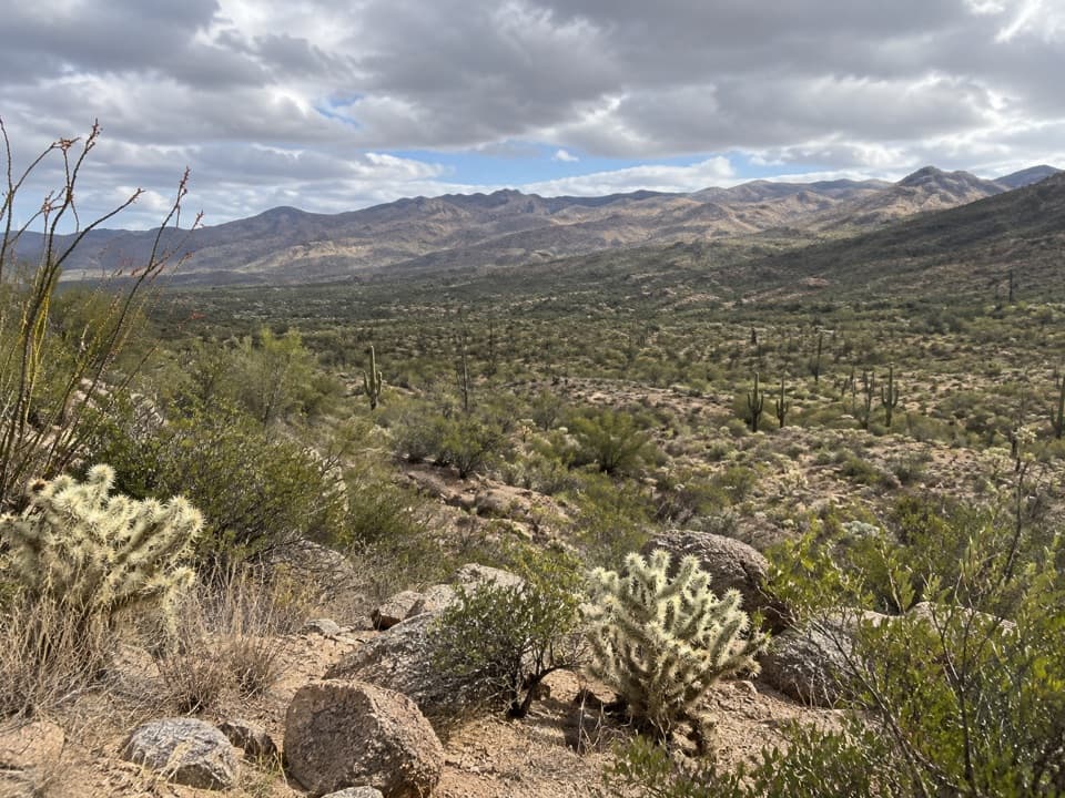 EasyFreight Wagon Loop3.5 mi · 2 hr · 2.6 mi awayA gentle bajada loop with a dose of ranching history.
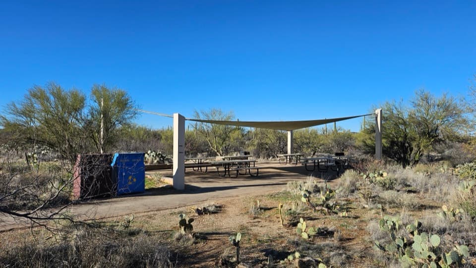 Picnic area · At the trailheadMica View Picnic AreaA shaded picnic stop with an accessible desert stroll.
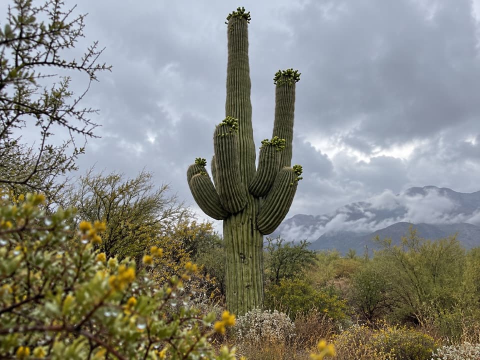 Scenic pullout · 1.1 mi awayCactus Forest OverlookSaguaro views and a surprisingly long recovery story.
 Scenic pullout · 1.5 mi awayRiparian OverlookA quick pullout for Saguaro East’s wide cactus-forest views.
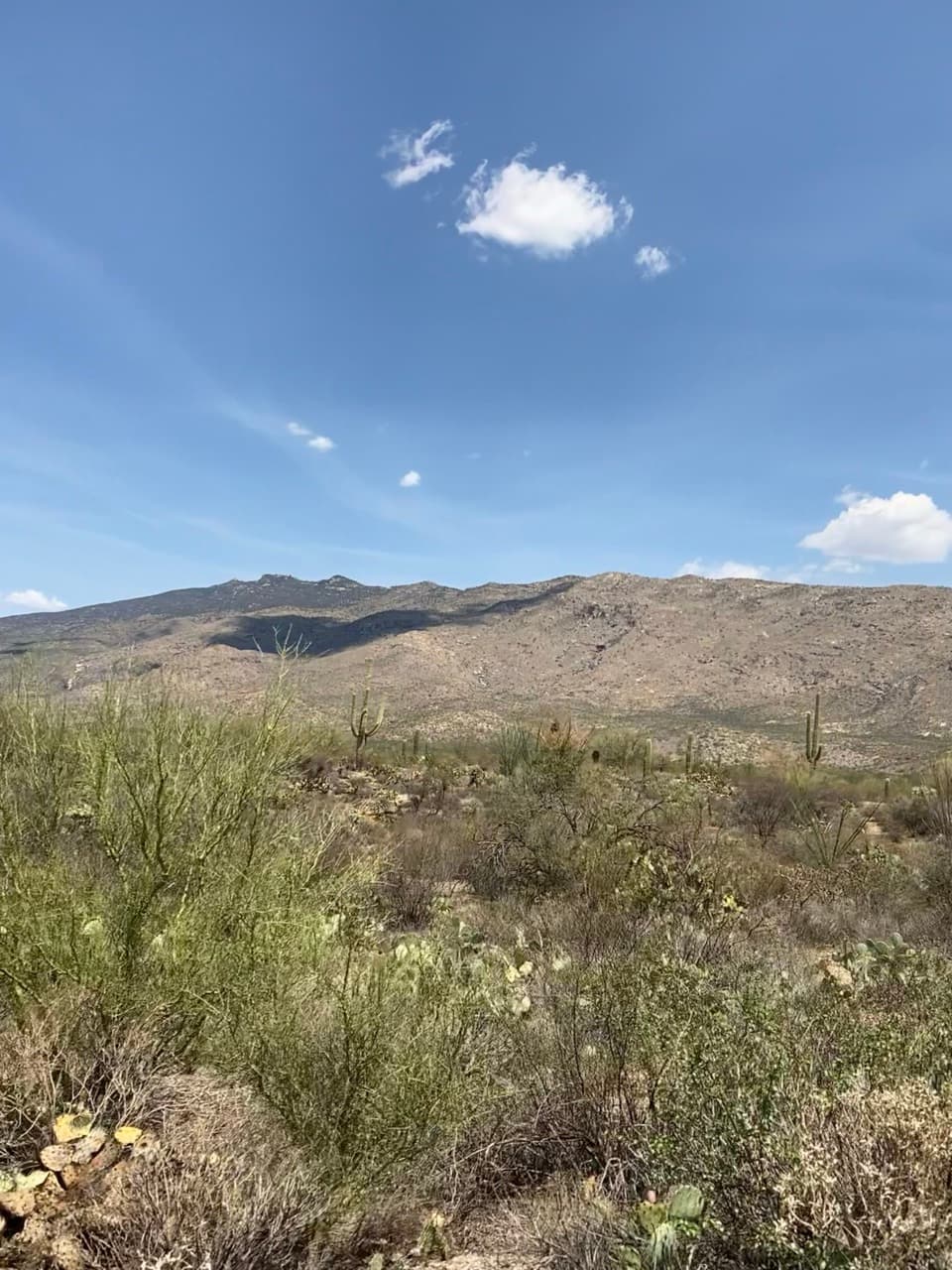 Sight · 1.6 mi awaySonoran Desert OverlookA roadside cactus primer with a broad desert-floor view.
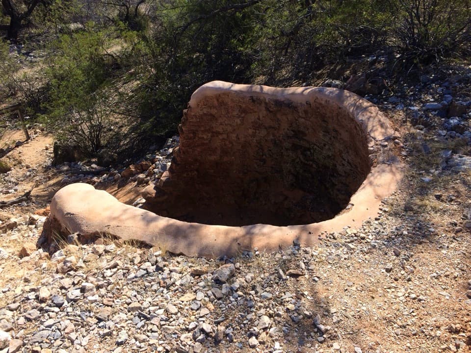 Sight · 1.7 mi awayCactus Forest Lime KilnsA signed spur to Saguaro's historic lime-kiln ruins.
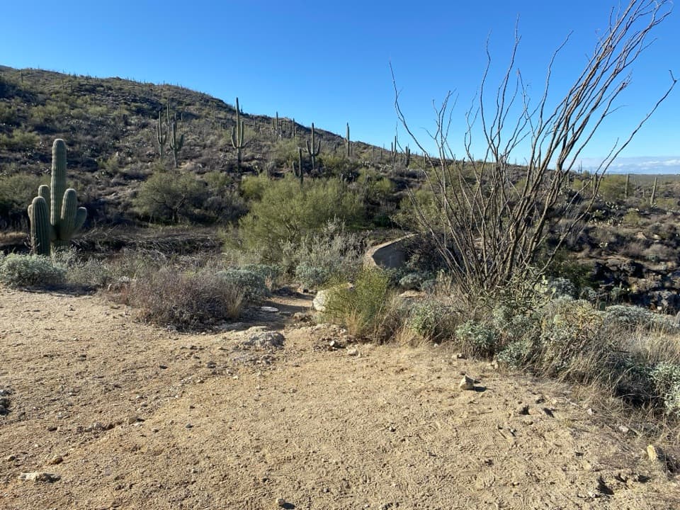 Sight · 2 mi awayGarwood DamA homestead-era dam tucked into the cactus forest
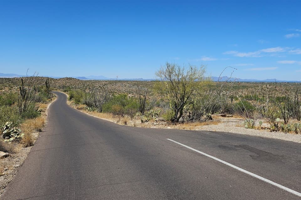 Scenic pullout · 2.1 mi awayCactus Forest Sunset PulloutA small sunset stop between Rincon Mountain Overlook and Javelina Rocks.
 Sight · 2.2 mi awayRincon Mountains OverlookA roadside panorama over the Cactus Forest toward the Rincon Mountains.
Parkwolf’s Saguaro ranking

The audio tour guide for the drive, plus offline maps, trails, and wildlife heatmaps for when the signal drops.





