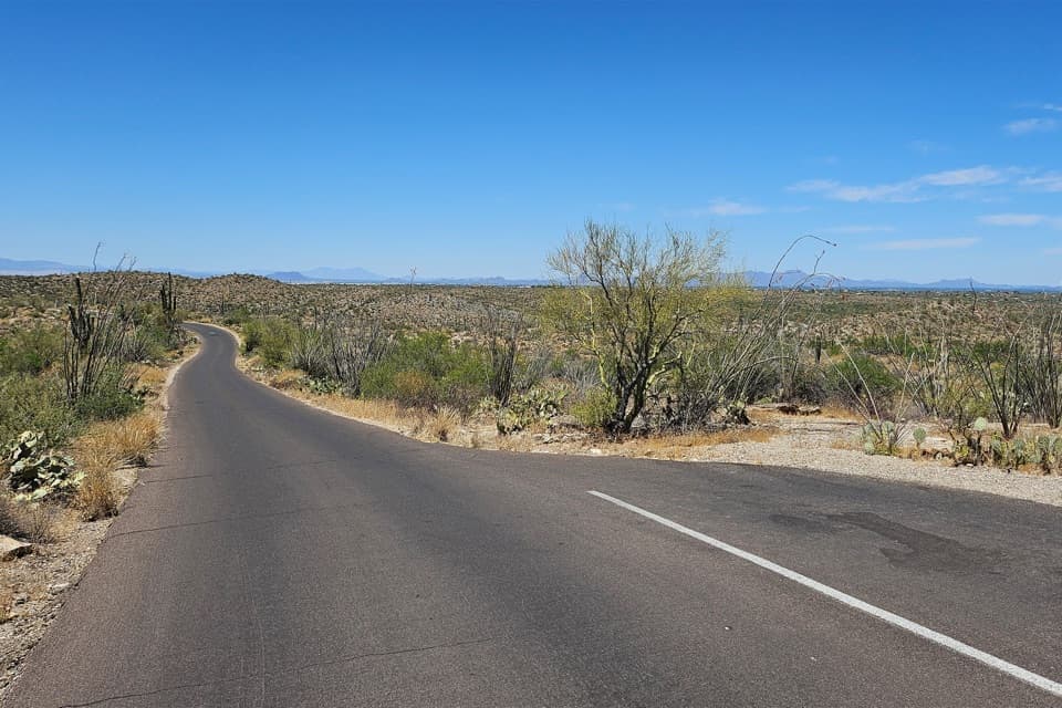
Shantz Trail in Saguaro National Park

Saguaro National Park, AZ

Shantz Trail

A long, gentle traverse beneath the Rincon foothills.

Length
4.8mi
Time
2.5hr
Elev. change
190ft
Difficulty
Easy
  • No dogs
  • High point 2,877 ft

Hear the audio tour

Douglas Spring and Wildhorse: The Falls Hike

Overview

About Shantz Trail

Why go

  • A long walk through open saguaro country
  • Mountain views across a gentle grade

Heads up

  • Sun and heat outweigh the easy terrain
  • A pickup or roughly 9.5-mile return is needed

Map & elevation

The route

Loading the Saguaro map
Full map
Elevation2,687–2,877 ft
TrailheadWildhorse Trailhead on Speedway Boulevard32.23509, -110.68978
Keep this map with you offline in the Parkwolf app

Plan your hike

Before you go

Parking

The north end is at Wildhorse Trailhead by Speedway Boulevard; the park map labels horse parking at Wildhorse and hiker parking at the nearby Douglas Spring Trailhead. The south end meets the Mica View/Cactus Forest access road, but parking at that junction was not verified. Plan a pickup or walk back.

Safety

This open desert route can feel hotter than its gentle grade suggests. On-route water was not verified, so do not plan on finding a refill. Pets are prohibited on Shantz; service animals are exempt. Without a pickup, the full return is about 9.5 miles.

3 active Saguaro alerts

  • CautionHazards in Rincon Mountain burn areasMentions Rincon Mountain, referenced in this guideStay on trails and use extra caution in high-elevation Rincon Mountain areas burned by the two 2020 fires; fire damage can leave unstable ground and other hazards.Official details
  • ClosureTucson Mountain District road closuresSeveral Tucson Mountain District roads are closed; follow posted closures and use McCain Loop to bypass the Kinney Road closure.Official details
See all 3 alerts
A park ranger sits on a dash-mounted phone, talking, as Parkwolf’s Tour Guide plays “Army Cutworm Moths: A Grizzly Bear Buffet” on Grand Loop Road below Dunraven Pass in Yellowstone
Parkwolf Tour GuideThe highest, rockiest slopes around here are a summer buffet for grizzly bears.

Saguaro Tour Guide

Your drive to Shantz Trail, narrated.

Parkwolf is a GPS audio tour guide for Saguaro National Park. As you drive, it chimes in with what’s ahead: hidden gems, upcoming stops, history, geology, and wildlife, right through your car’s speakers.

See the Saguaro audio tour

Recorded for this trailhead

Douglas Spring and Wildhorse: The Falls Hike
0:00 / 0:28
“You're nearing the Douglas Spring and Wildhorse trailheads near the end of Speedway Boulevard.”

Plays as you drive up to this trailhead in the Parkwolf Saguaro Tour Guide.

More stories near here in the app

  • Watch the Roadrunner Hunt
  • Broadway Trailhead: Pink Hill
  • Loma Verde: The Pink Hill View
  • Mica View: A Picnic and a Poem
  • 43 audio storiesacross Saguaro’s roads, triggered by GPS as you drive
  • Wildlife heatmapsfor Black Bear, Mountain Lion, Mule Deer, and 13 more
  • Works offlinemaps, 74 trails, 40 places, and audio download before you lose signal
  • CarPlay readysimple controls built for the drive
★★★★★
“Fantastic app with many points of information… It’s great to just turn on while you’re driving and it gives you an audio tour of the national Park. We love it!!!!”
JMJamesApp Store review
Download Parkwolf on the App StoreGet Parkwolf on Google Play

4.7 from 8,600+ ratings

Trail guide

Hiking Shantz Trail

The long way acrossShantz Trail is a 4.

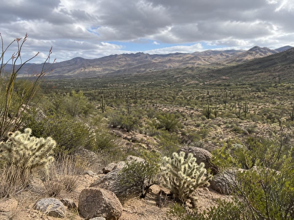
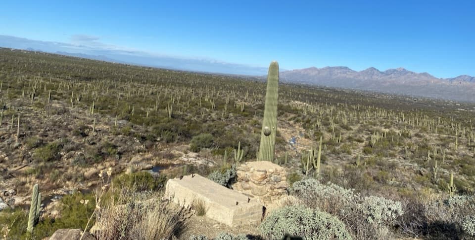
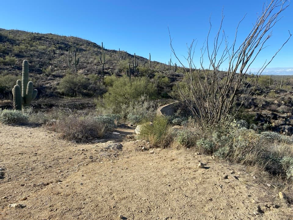
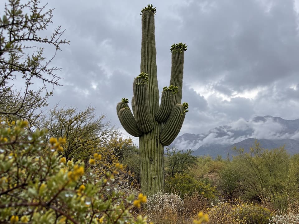
Shantz Trail is a 4.8-mile, one-way traverse along the northwest edge of Saguaro's Rincon Mountain District, from the Speedway Boulevard access near Wildhorse to the Mica View/Cactus Forest access road. It is a long walk through open cactus groves beneath the Rincon foothills, crossing Broadway and connecting with Mica View, Cactus Forest, Loma Verde, and Kennedy. The appeal is seeing the desert at walking pace, with views toward Tanque Verde Peak and the Santa Catalina Mountains along the way. If you don't have a pickup arranged, walking back makes this about a 9.5-mile round trip.

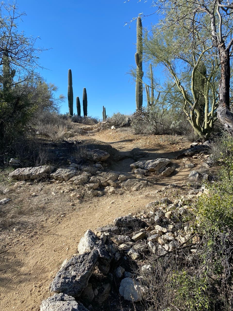
Easy grade, open desertThe route rolls gently rather than climbing to a summit.

The route rolls gently rather than climbing to a summit. A terrain profile rises about 145 feet southbound, so distance and sun matter more than steepness. Allow around two and a half hours one way, with extra time for stops. The landscape is mostly open, and the heat can make the mild grade feel harder than it looks on a map.

A shorter Shantz walkFor a shorter taste, the 2-mile Mica View Loop starts at Mica View Picnic Area, follows Mica…

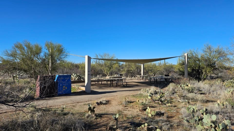
For a shorter taste, the 2-mile Mica View Loop starts at Mica View Picnic Area, follows Mica View north to Shantz, then turns onto Cactus Forest and Mica View to return. It uses only a short part of Shantz, so it is a separate loop rather than the full point-to-point trail. The loop passes young saguaros growing under palo verde nurse trees and has views toward Tanque Verde Peak and Mica Mountain.

The name on the trailShantz honors Homer Shantz, a botanist and former University of Arizona president who helped…

Shantz honors Homer Shantz, a botanist and former University of Arizona president who helped lead the effort to protect this cactus country. He renewed that preservation campaign in 1928; Saguaro was proclaimed a national monument in 1933. The trail name points back to one of the people who helped make the park possible.

Wildlife

Wildlife in Saguaro

All Saguaro wildlife maps

Sighting maps show where each species has been reported across Saguaro. Wildlife moves, so no sighting is guaranteed.

Keep exploring

Near Shantz Trail

See it all on the map

Trails that start nearby

Places near the trailhead

Parkwolf’s Saguaro ranking

Top-rated trails in Saguaro

All 74 trails
  1. 1Wasson Peak via King Canyon and Gould Mine LoopChallenging · 7.8 mi
  2. 2Hugh Norris Trail to Wasson PeakChallenging · 10 mi
  3. 3Bridal Wreath Falls TrailModerate · 5.9 mi
  4. 4King Canyon Trail to Wasson PeakModerate · 7 mi
  5. 5Valley View Overlook Nature TrailEasy · 0.8 mi
  6. 6Freeman Homestead TrailEasy · 1 mi

Take Parkwolf to Saguaro.

The audio tour guide for the drive, plus offline maps, trails, and wildlife heatmaps for when the signal drops.

4.7 from 8,600+ ratings

Download Parkwolf on the App StoreGet Parkwolf on Google Play