
Place · 0 mi away
Challenging
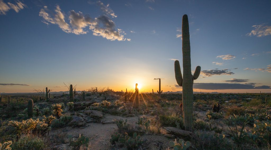
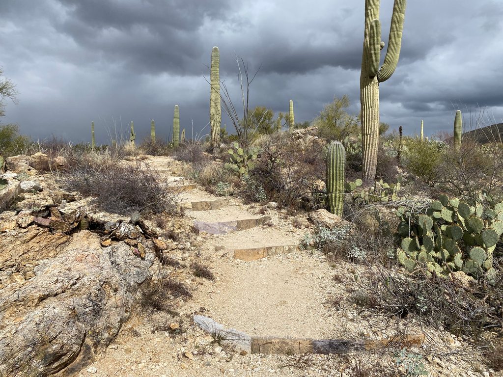
This classic ridge walk climbs from the saguaro‑studded desert into high country on a well‑built path with occasional rocky steps. Most hikers treat the Tanque Verde Ridge as an out‑and‑back to Tanque Verde Peak: about 17.6 miles total with roughly 4,500 feet of gain. A beloved bite‑size option is the overlook just 0.6 mile from the trailhead (around 100 feet of gain) that’s tailor‑made for sunset. The named ridge continues far beyond the peak to Cow Head Saddle (about 11 miles one way from the start), making this a choose‑your‑own‑adventure.
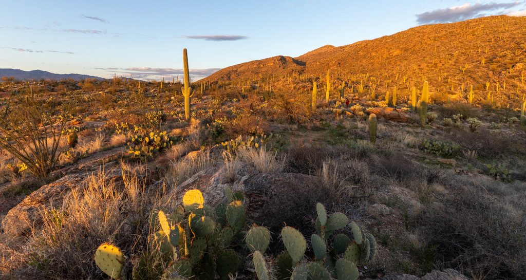
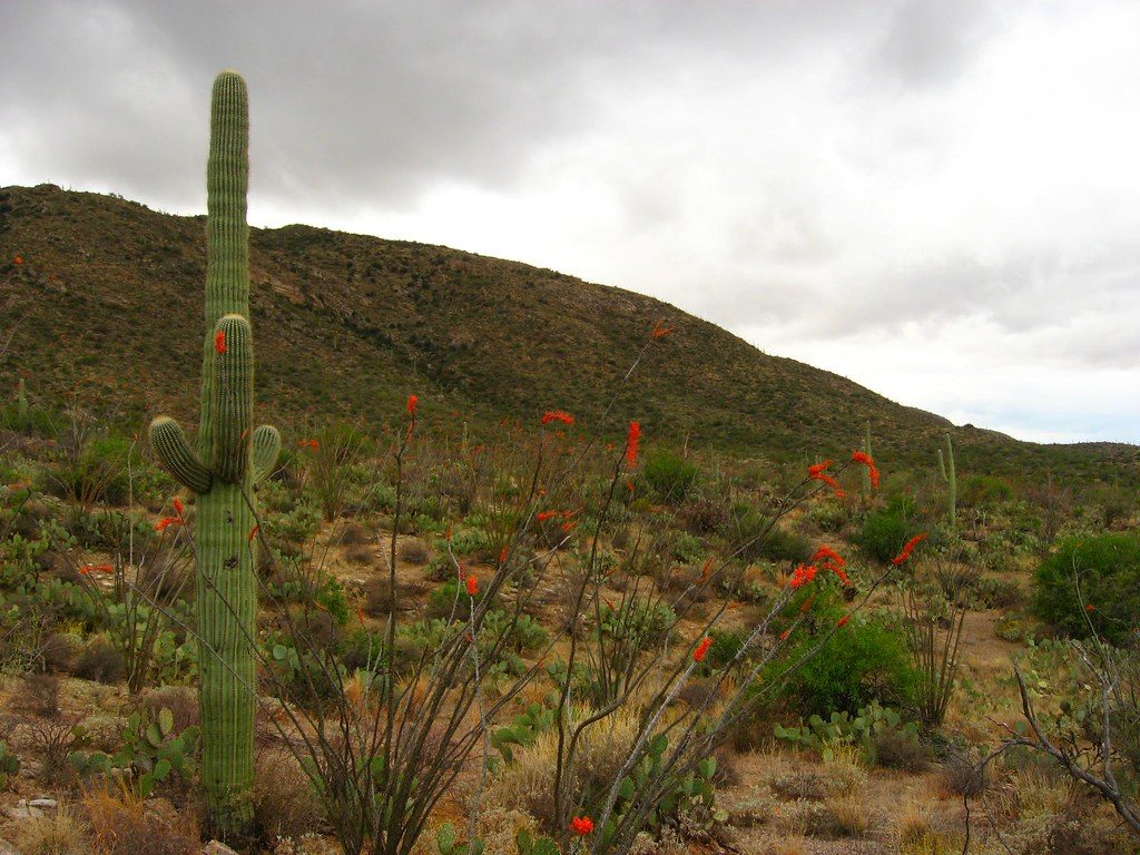
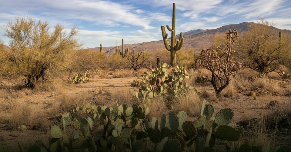
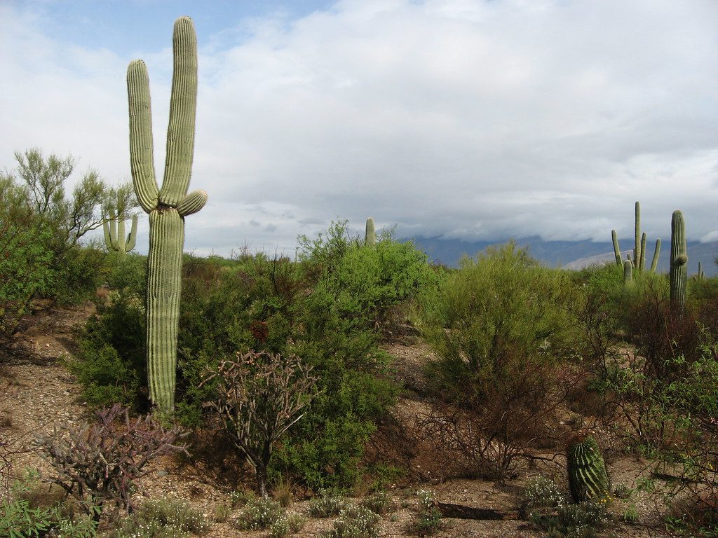
Start at the Javelina Picnic Area and climb steep, rocky singletrack through classic Sonoran Desert—saguaros, cholla, and ocotillo right at elbow level. As you gain the broad ridge, views swing between the Tucson Basin and the Rincons; on clear days you’ll pick out distant high points. Around 2.5 miles there’s a rare crested saguaro, and near mile 3 “The Dome” offers a slabby, panoramic perch. Vegetation shifts with altitude—grasses replace cacti, then scrubby oak and eventually juniper and pine as you approach Juniper Basin Campground around mile 7.
Past Juniper Basin, expect intermittent cairned slickrock and brushier sections; the path remains obvious overall but isn’t a highway. The final approach to Tanque Verde Peak includes a short spur and an easy Class 2 scramble onto the summit block for 360‑degree views. Strong parties can continue beyond the peak toward Cow Head Saddle for a longer, more remote day.
Make no mistake: the peak outing is strenuous due to length, elevation gain, and exposure. Shade is limited until higher elevations, and natural water is unreliable even near camp—plan to carry what you need. Expect rocky tread, some overgrowth near Juniper Basin, and brief cairned slickrock stretches that reward attentive navigation. Winter can bring snow or ice up high; summer heat is severe, and monsoon storms can add lightning risk on this exposed ridge.
Spring and fall are prime. Start at dawn in warm months to beat heat and crowds, and save the 0.6‑mile overlook for golden hour if you just want the views without the punishment. In winter, pick clear, calm days and be prepared for icy patches up high.
This is a textbook Sonoran Desert‑to‑Madrean life‑zone transition: towering saguaros and agaves give way to grasses, then oak/juniper woodland, with big‑sky geology and long views the whole way. Keep an eye out for the crested saguaro and the broad slickrock of The Dome on the way up.
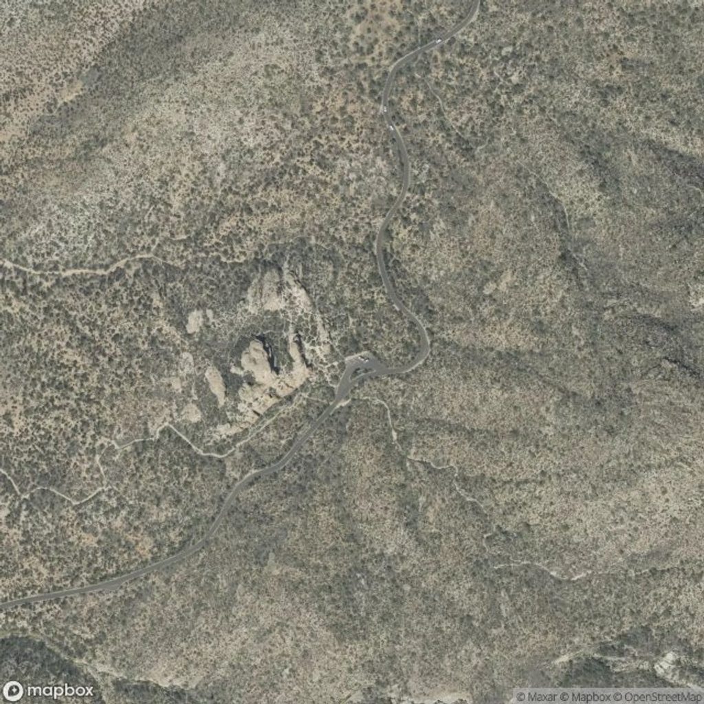
Park at Javelina Picnic Area on Cactus Forest Drive (Rincon Mountain District, East). Paved access, signed trailhead, restrooms, and picnic tables at the start.
Severe heat and long exposure; carry ample water. Rocky tread with brief cairned slickrock and brushy stretches near Juniper Basin. Short Class 2 scramble to the summit block. Watch for winter ice up high and summer monsoon lightning. Do not confuse this trail with Tanque Verde Falls (different location and terrain).
Place · 0 mi away
Place · 0.7 mi away
Place · 1.2 mi away
Place · 1.2 mi away
Easy · 0.1 mi away
Easy · 2.4 mi away
Easy · 2.6 mi away
Easy · 2.7 mi away

Parkwolf Tour Guide
