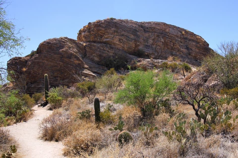
Javelina Rocks in Saguaro National Park

#2 of 24 sights in Saguaro

Scenic pullout · Saguaro National Park

Javelina Rocks

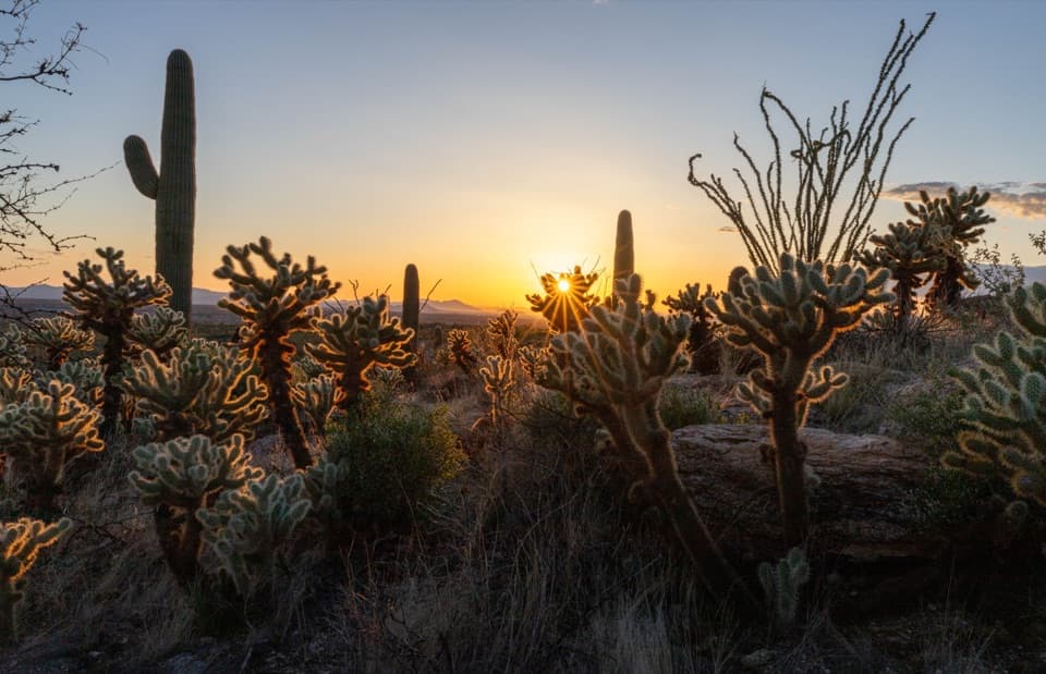
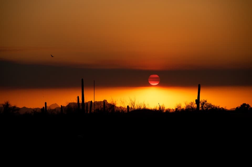
A short rock scramble earns a wide sunset view over saguaros.

Photo: Wikimedia Commons
Type
Scenic pullout
Nearest trail
0.7 mi
Audio stories
10 nearby
  • Pullout
  • Parking
  • Scenic viewpoint

Hear the audio tour

Javelina Rocks: Stripes in the Stone

Overview

About Javelina Rocks

Why stop

  • Striped boulders bring the region’s geology into easy view
  • A short climb opens onto a broad desert sunset

Heads up

  • The higher viewpoint requires scrambling over uneven rock
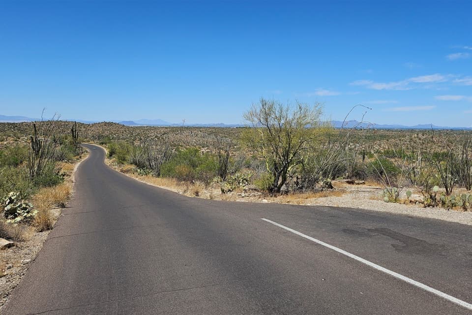
Javelina Rocks is a cluster of large red-orange and brown boulders beside Cactus Forest Loop Drive in Saguaro's Rincon Mountain District, about six miles along the drive. A short dirt path leads from the small lot to the outcrop, where you can walk among the boulders and climb for a wider desert view. It's a good stop if you want to stretch your legs and see the east district's rock and cactus country without committing to a hike. The name doesn't guarantee a javelina sighting; the dependable draw is the rocks, saguaros, and sky.
Parkwolf’s verdictWorth the quick stop

Map

Where it is

Loading the Saguaro map
Full map
Scenic pulloutJavelina Rocks32.17424, -110.71744
Keep this map with you offline in the Parkwolf app

Plan your stop

Before you go

3 active Saguaro alerts

  • CautionHazards in Rincon Mountain burn areasMentions Rincon Mountain, referenced in this guideStay on trails and use extra caution in high-elevation Rincon Mountain areas burned by the two 2020 fires; fire damage can leave unstable ground and other hazards.Official details
  • ClosureTucson Mountain District road closuresSeveral Tucson Mountain District roads are closed; follow posted closures and use McCain Loop to bypass the Kinney Road closure.Official details

See all 3 alerts
A park ranger sits on a dash-mounted phone, talking, as Parkwolf’s Tour Guide plays “Army Cutworm Moths: A Grizzly Bear Buffet” on Grand Loop Road below Dunraven Pass in Yellowstone
Parkwolf Tour GuideThe highest, rockiest slopes around here are a summer buffet for grizzly bears.

Saguaro Tour Guide

Your drive to Javelina Rocks, narrated.

Parkwolf is a GPS audio tour guide for Saguaro National Park. As you drive, it chimes in with what’s ahead: hidden gems, upcoming stops, history, geology, and wildlife, right through your car’s speakers.

See the Saguaro audio tour

Recorded for this place

Javelina Rocks: Stripes in the Stone
0:00 / 0:29
“Javelina Rocks is coming up, a roadside cluster of striped boulders worth a short stop. A dirt path gets you among the rocks without a long hike, though the footing is uneven.”

Plays as you drive up to Javelina Rocks in the Parkwolf Saguaro Tour Guide.

More stories near here in the app

  • Javelina Picnic Area and Freeman Homestead
  • Rincon Mountains Overlook
  • Rincon Mountain Visitor Center
  • Saguaro Corners: A Meal and Desert Watching
  • 43 audio storiesacross Saguaro’s roads, triggered by GPS as you drive
  • Wildlife heatmapsfor Black Bear, Mountain Lion, Mule Deer, and 13 more
  • Works offlinemaps, 74 trails, 40 places, and audio download before you lose signal
  • CarPlay readysimple controls built for the drive
★★★★★
“Fantastic app with many points of information… It’s great to just turn on while you’re driving and it gives you an audio tour of the national Park. We love it!!!!”
JMJamesApp Store review
Download Parkwolf on the App StoreGet Parkwolf on Google Play

4.7 from 8,600+ ratings

Guide

More about Javelina Rocks

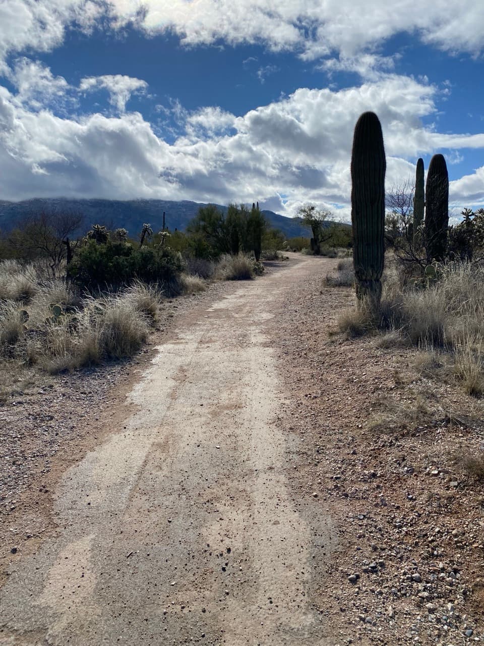
Getting onto the rocksThe dirt path starts at the west end of the lot and crosses a small rise to the boulders.

The dirt path starts at the west end of the lot and crosses a small rise to the boulders. The footing is uneven, and the higher view means climbing onto the rocks. Go only as far as you can manage safely; the park warns visitors to climb at their own risk and watch for wildlife between the rocks. The lot holds only about four or five cars, so parking can be tight around sunset.

Stay for the sunsetThe park service specifically recommends this pullout for sunset.

The park service specifically recommends this pullout for sunset. From the rocks, look over the saguaro desert toward the distant ridges. For a photo with some scale, keep a saguaro or the striped rock in the foreground instead of filling the frame with the horizon alone. The best perch is up on the boulders, so take extra care as the light fades.

Read the stripes in the stoneThese boulders expose striped mylonitic gneiss, rock that began as granite and was stretched as…

These boulders expose striped mylonitic gneiss, rock that began as granite and was stretched as the region's crust pulled apart about 20 to 30 million years ago. Faulting let deeply buried rock rise as the crust thinned, helping form the Rincon and Catalina Mountains. The dark and pale bands in the rock are a piece of that long geologic story, right beside the road.

Wildlife

Wildlife in Saguaro

All Saguaro wildlife maps

Sighting maps show where each species has been reported across Saguaro. Wildlife moves, so no sighting is guaranteed.

Keep exploring

Near Javelina Rocks

See it all on the map

Trails nearby

More stops nearby

Parkwolf’s Saguaro ranking

Top sights in Saguaro

All 40 places
  1. 1Signal HillSight
  2. 3Valley View OverlookSight
  3. 4Cactus Forest OverlookScenic pullout
  4. 5Gates Pass OverlookSight
  5. 6Arizona-Sonora Desert MuseumSight
  6. 7Bridal Wreath FallsSight

Take Parkwolf to Saguaro.

The audio tour guide for the drive, plus offline maps, trails, and wildlife heatmaps for when the signal drops.

4.7 from 8,600+ ratings

Download Parkwolf on the App StoreGet Parkwolf on Google Play