Pros & cons
PROS
- Shaded ramada-style picnic tables with grills
- Direct access to Tanque Verde Ridge Trail
CONS
- No running water on-site
- Shaded tables can fill during busy hours
Overview
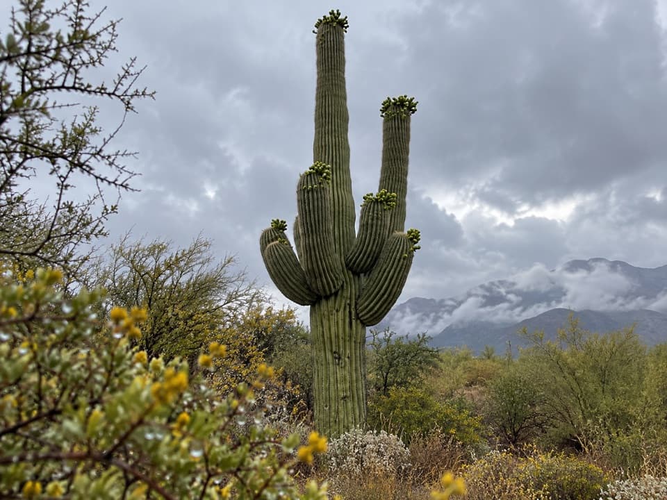
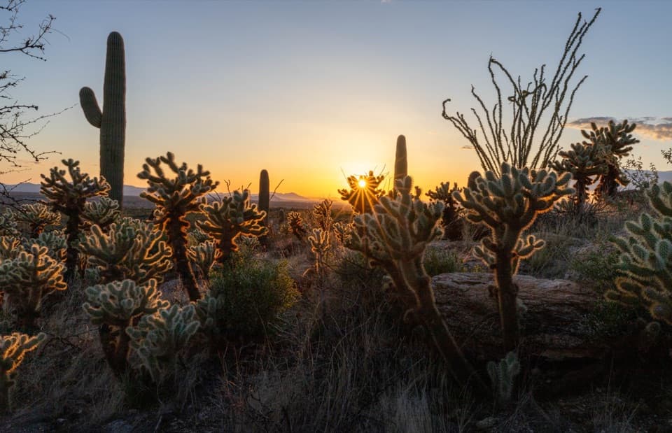
Set in the foothills of the Rincon Mountains, Javelina Picnic Area is the first and closest picnic stop after you enter the East District. It’s a mellow, scenic base to spread lunch out among towering saguaros—plus it doubles as the trailhead for one of the park’s big mountain routes. Don’t confuse it with Javelina Rocks (the roadside boulder viewpoint elsewhere on the loop); this is a dedicated picnic spot.
What You’ll Find
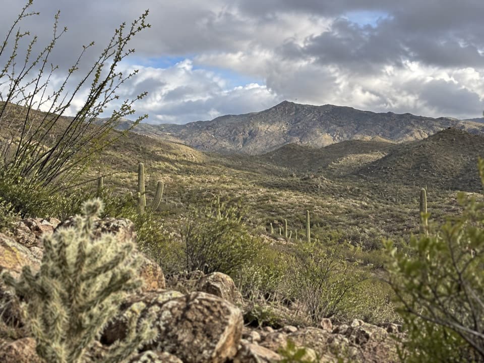
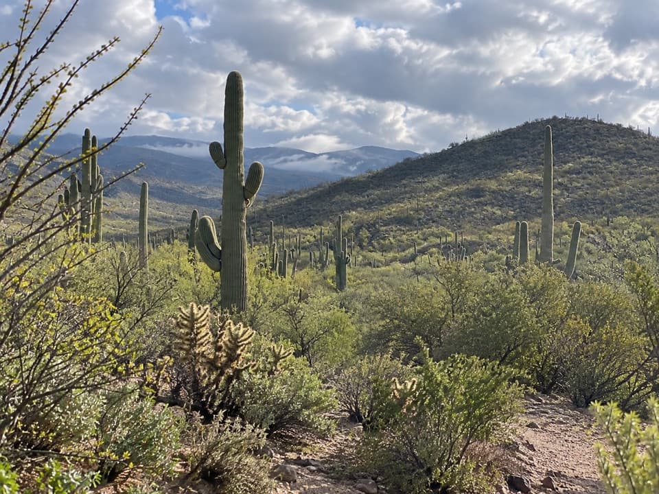
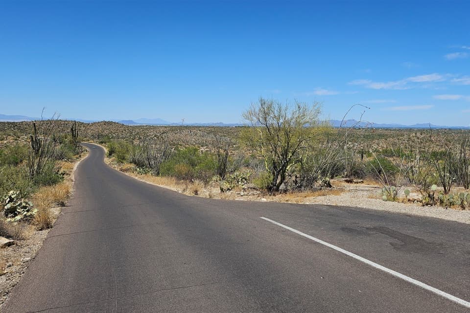
Expect a good-sized parking area (including space for larger vehicles), stone tables—many under shade ramadas—charcoal grills, trash receptacles, and vault toilets. The setting opens to subtle, wide views toward the basin and the Rincons, so even a quick stop feels rewarding.
Trails From Here
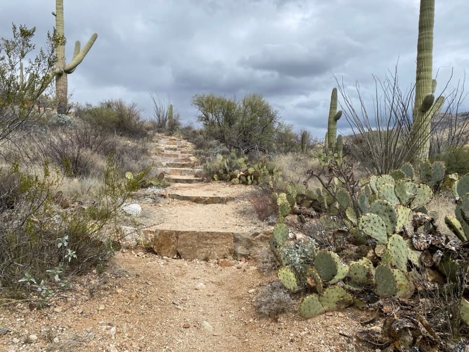
The Tanque Verde Ridge Trail launches right from the picnic area and starts climbing immediately. Treat it as a short, steep out-and-back for big desert vistas, or use it as a gateway into the Rincon backcountry. Strong hikers and backpackers head for Juniper Basin (about 6.9 miles and roughly 4,000 feet up) or much farther to Manning Camp.
Wildlife
True to the name, this is javelina country. They’re crepuscular—most active around dawn and dusk—and roam in small herds. Sightings are never guaranteed, but early and late light ups your odds. Give them space; they generally avoid people but can act defensively if cornered.
Best Time to Visit
Vehicle access aligns with daylight, so plan picnics and hikes for early morning or late afternoon when temps and light are friendlier. Midday, the ramadas are clutch for shade. There are no concessions here and water is not provided at the site; fill up at a visitor center before you roll in. Cell service is hit-or-miss.
Is It Worth a Stop?
If you want a quiet, convenient picnic spot that also puts you on a serious mountain trail, absolutely. For quick roadside views and sunset rock scrambling, aim for Javelina Rocks instead—different vibe, different stop.
Where it is
32.1658, -110.7236Tips for Javelina Picnic Area
- 01Bring all the water you’ll need—there’s no running water at the site. [nps.gov](https://www.nps.gov/places/javelina-picnic-area.htm)
- 02Arrive early on busy days; shaded ramada tables tend to go first. [saguaronationalpark.com](https://www.saguaronationalpark.com/picnic-areas.html)
- 03Don’t mix it up with Javelina Rocks Overlook—they’re separate stops on the loop. [inspiredimperfection.com](https://inspiredimperfection.com/adventures/javelina-rocks-overlook-and-picnic-area/)
- 04If you’re taking Tanque Verde Ridge, start at dawn and expect a steep, rocky climb. [nps.gov](https://www.nps.gov/places/javelina-picnic-area.htm)
- 05Dawn/dusk are best for spotting javelinas—observe from a distance and never feed them. [nps.gov](https://www.nps.gov/sagu/learn/nature/javelina.htm)
Amenities
Near Javelina Picnic Area
All places →All trails →
0 mi awayTanque Verde Ridge TrailDesert-to-forest ridge climb with a sunset sampler and big views.Challenging · 17.6 mi · 9.8 hr
0.1 mi awayFreeman Homestead Nature TrailShort, kid-friendly loop to a historic desert homestead siteEasy · 1 mi · 24 min
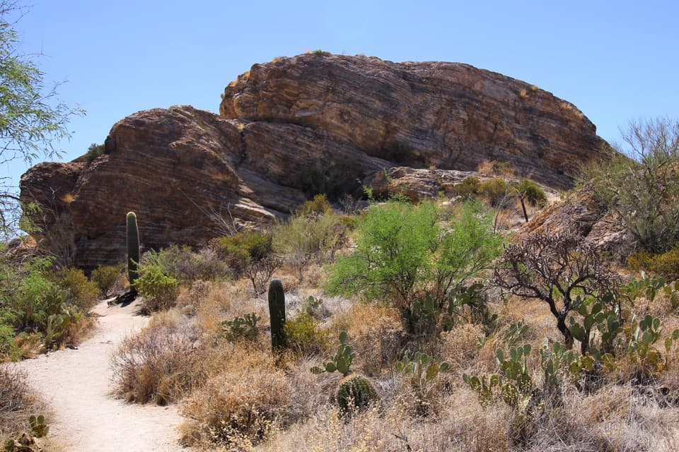
0.7 mi awayJavelina RocksStriped rock outcrops with knockout sunset viewsPullout · Parking
1.2 mi awayCactus Forest DriveSlow, scenic loop through towering saguaros and Sonoran Desert viewsPullout · Scenic Viewpoint
1.2 mi awayFuture Generations OverlookQuick pullout with big saguaro views and helpful interpretive signsPullout · Parking
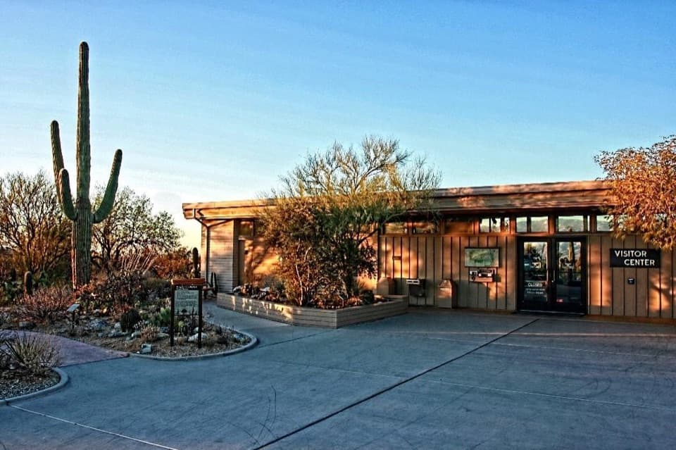
1.2 mi awayRincon Mountain Visitor CenterEastern hub for planning, water, and the Cactus Forest LoopVisitor Center · Restroom
2.3 mi awayCactus Forest TrailFlat, saguaro-packed stroll with lime kilns and Rincon viewsEasy · 10.2 mi · 3.4 hr
2.6 mi awayDesert Ecology TrailQuick, paved Sonoran desert sampler with signage and big saguarosEasy · 0.3 mi · 15 min