Pros & cons
PROS
- Iconic 1930s CCC craftsmanship and rustic PARKitecture
- Easy photo stop just past the southwest entrance station
CONS
- Small, tight parking area that fills quickly
- No restrooms or water at the sign
Overview
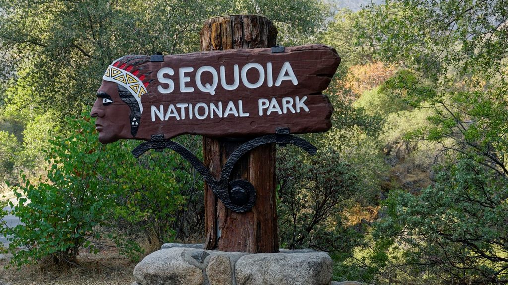
This is the classic carved entrance sign that greets you at the park’s Ash Mountain (southwest) entry. It’s a quick, fun photo stop—more a rite of passage than a destination—so plan five minutes, snap your picture, and keep rolling toward the big trees.
Why It’s Notable
Crafted in the 1930s by Civilian Conservation Corps artisans from sequoia wood and mounted to a single timber post set in a rock-faced base, the sign is a showcase of early National Park Service rustic design. The carved Native American profile is part of that era’s aesthetic; the park shares context about its design history and the cultural questions it raises today. The sign is significant enough that it’s been formally documented and even wrapped for protection during the 2021 KNP Complex Fire.
What to Expect
- A small pull-in lot right beside the sign—tight, and it cycles fast.
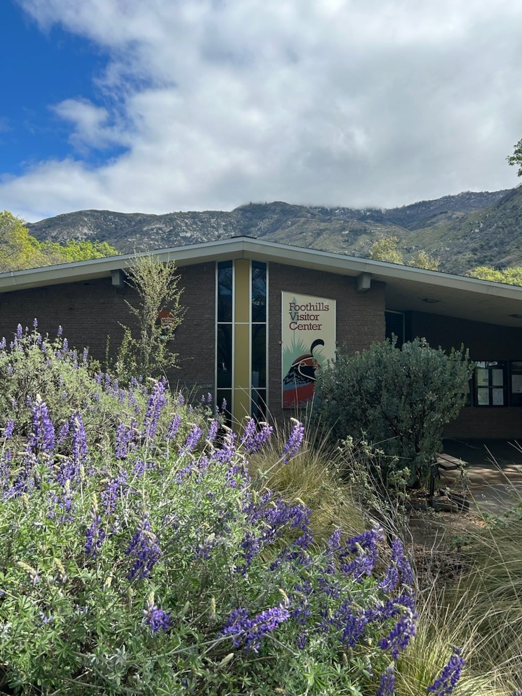
- No facilities here. The Foothills Visitor Center is about one mile past the entrance for restrooms, water, maps, and a quick browse.
- Constant traffic at the nearby fee booth; never stop in active lanes—use the little lot and be patient.
Road Notes
Beyond Ash Mountain the Generals Highway is narrow and winding. Vehicle length advisories apply: over 24 ft not advised between Foothills Visitor Center and Potwisha; over 22 ft not advised between Potwisha and Giant Forest. Expect a scenic but slow climb to the sequoia groves.
Best Time to Visit
- Arrive before about 8 am or after 2–3 pm on summer weekends and holidays to avoid the longest entry queues and to find a parking spot more easily.
- Morning or late-afternoon light brings out the relief in the carving and makes for better photos.
Photo Tips
- Park fully in the small lot—don’t shoot from the highway.
- If it’s packed, loop back later; turnover is quick.
- Angle your shot to catch the carving’s shadows in early or late light.
Nearby Quick Stops
- Foothills Visitor Center (1 mile) for restrooms, water, and info.
- Hospital Rock Picnic Area farther up-canyon for a scenic break once you’re underway.
Where it is
36.4904, -118.8156Tips for Ash Mountain Entrance Sign
- 01Use the tiny lot next to the sign—never stop in the highway lanes.
- 02Hit it before 8 am or after 2–3 pm to avoid lineups and snag parking.
- 03Need restrooms or water? Stop at Foothills Visitor Center one mile inside.
- 04Morning or late-afternoon light makes the carving pop in photos.
- 05Driving a long rig? Check the Generals Highway length advisories before proceeding.
Amenities
Near Ash Mountain Entrance Sign
All places →All trails →
0.5 mi awayFoothills Visitor CenterFirst-stop hub for maps, clean restrooms, exhibits, and trip adviceVisitor Center · Restroom
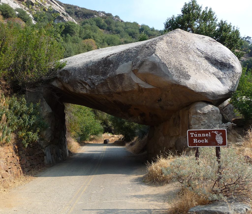
0.8 mi awayTunnel RockHistoric drive-through boulder and quick roadside photo stopPullout · Parking
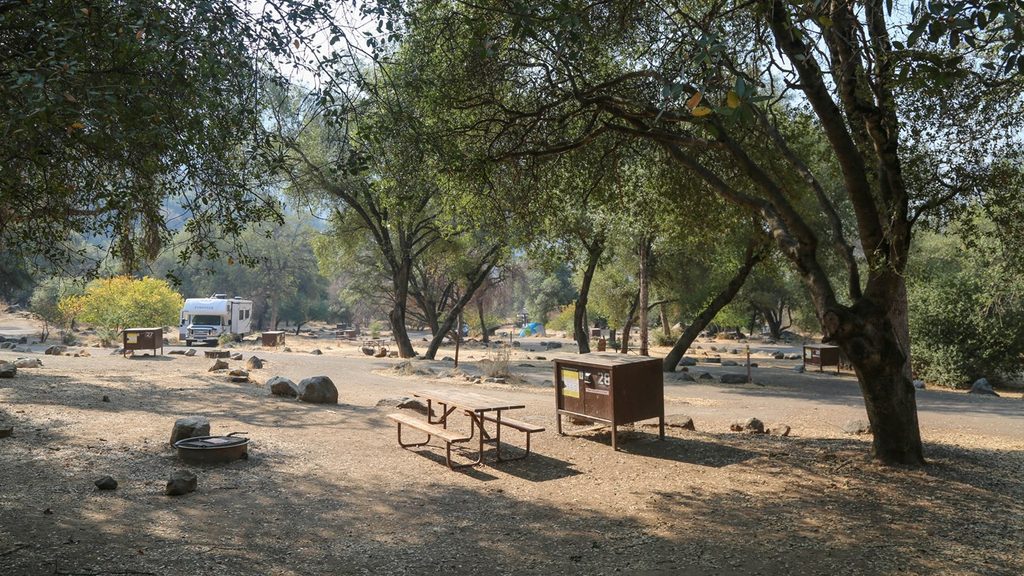
2 mi awayPotwisha CampgroundSunny foothills basecamp with river access and year-round sitesCampground · Restroom
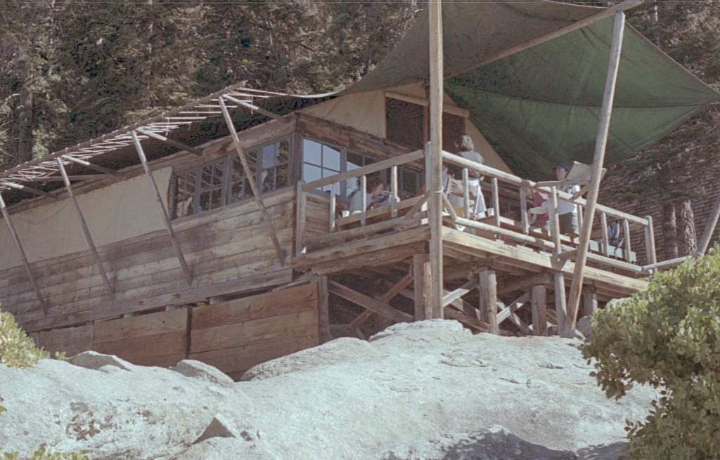
2 mi awayBearpaw CampRemote tent-cabin lodge with hot meals, showers, and knockout viewsLodging · Food
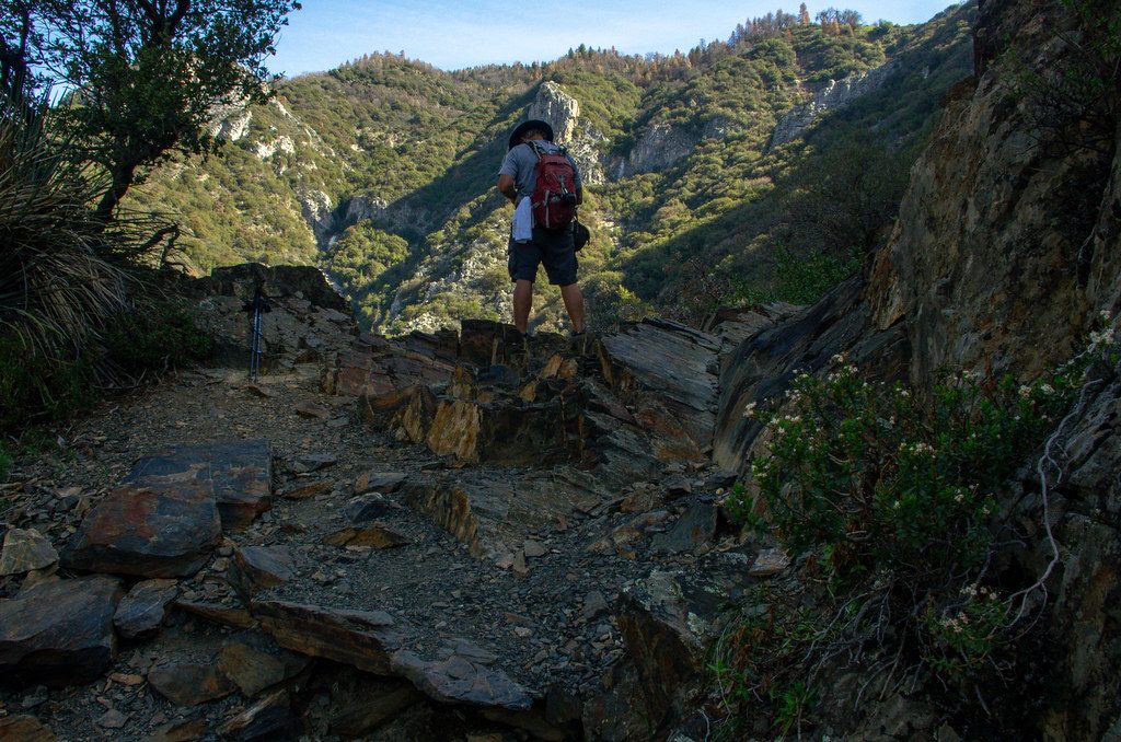
2.3 mi awayMarble Falls TrailSteady foothill climb to polished cascades and spring wildflowersModerate · 6.3 mi · 3.5 hr
3.6 mi awayParadise Creek TrailShaded creek walk to pools and small falls; short but brushyModerate · 2 mi · 1.5 hr
3.6 mi awayMiddle Fork Kaweah TrailHot, brushy canyon hike to waterfalls and a remote sequoia groveChallenging · 22.6 mi · 11 hr
3.6 mi awayMiddle Fork TrailHot, rugged foothill trek to remote sequoias at Redwood MeadowChallenging · 22.6 mi · 11 hr