Overview
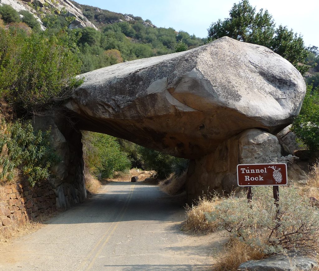
Tunnel Rock is a classic roadside landmark: a house-sized granite boulder arched over the old alignment of the Generals Highway. The road no longer passes beneath it, but you can—making it an easy, photogenic pit stop that tells a story about early park travel.
A Bit of History & Geology
Shaped during highway work in the late 1930s, Tunnel Rock served as a drive-through feature for decades before the road was rerouted to handle larger vehicles. Look closely and you can still spot scuffs from tall rigs that misjudged the clearance. Like much of the Sierra, the rock is granite—crystallized deep underground during Cretaceous-time subduction, later uplifted and revealed by erosion.
What You’ll See
- The shaded “tunnel” where you can walk the old roadway and grab the classic under-the-boulder shot.
- A quick scramble route up the back side offers a higher perch with views of the highway corridor and foothill slopes. Surfaces can be slick when wet; go slow and use good judgment.
- Around the pullout, you’ll notice a patchwork of recovering vegetation and burn patterns from the 2021 KNP Complex Fire.
Logistics
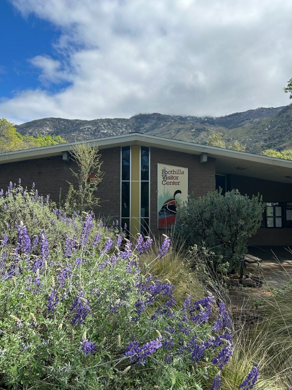
- Location: Along Generals Highway near the Ash Mountain entrance, just past the Foothills Visitor Center.
- Parking: Small pullouts on both sides of the road; expect turnover to be quick but space limited.
- Facilities: None here. For flush restrooms and water, use Foothills Visitor Center or Hospital Rock Picnic Area nearby. No picnic tables at Tunnel Rock.
- Conditions: This foothills area gets hot and sunny—bring water and sun protection. Poison oak is common; staying on the paved surfaces is your safest bet. Pets may be at parking/picnic areas on leash, not on trails.
- Vehicles: The Generals Highway ahead is narrow and winding with length advisories; plan accordingly if in an RV or towing.
Is It Worth the Stop?
Yes—if you’re passing by. It’s five to ten minutes of simple fun and a slice of park history. Don’t drive long out-and-back just for this rock; pair it with nearby stops like the Foothills Visitor Center or Hospital Rock.
Best Time to Visit
- Light: Early morning or late afternoon gives softer light on the granite and fewer harsh shadows.
- Crowds: Midday, especially on weekends, is busiest. Weekdays and early hours are the calmest.
- Access: It’s a roadside stop that’s effectively always available, but daylight makes photos (and scrambling) safer and better.