Parking
Park near site #14 at Potwisha Campground. Follow the dirt road across the concrete ditch; the trail starts on the steep bank to the right. If those spaces are full, use Potwisha Overflow Parking across Generals Highway.

Sequoia National Park, CA
A foothill climb to a waterfall spilling over white marble.
Overview
Map & elevation
Plan your hike

The highest, rockiest slopes around here are a summer buffet for grizzly bears.
Sequoia Tour Guide
Parkwolf is a GPS audio tour guide for Sequoia National Park. As you drive, it chimes in with what’s ahead: hidden gems, upcoming stops, history, geology, and wildlife, right through your car’s speakers.
See the Sequoia audio tourRecorded for this trailhead
Potwisha and Marble Falls“You're approaching Potwisha, where a long foothills hike leads to Marble Falls spilling over pale marble in a narrow canyon. Allow about four hours for the round trip, with steep, uneven stretches and little shade.”
Plays as you drive up to this trailhead in the Parkwolf Sequoia Tour Guide.
More stories near here in the app
“…The kids and my husband and I all agree that the narration really added to our experience driving through the parks. We learned so much about the history and the flora & fauna.”


Trail guide
Marble Falls Trail is a 6.2-mile out-and-back from Potwisha to the lower waterfall on the Marble Fork Kaweah River. Allow about four hours for a steady foothill climb and the same route back down. Most route descriptions put it near 3.1 miles each way, but the panel at the trailhead lists 3.7. Check the sign when you arrive and leave time for the longer figure if that is the route being signed.
Park near site #14 in Potwisha Campground, follow the dirt road over the concrete ditch, then take the trail climbing up the steep bank to the right. The first stretch follows a dirt service road beside the Marble Fork. A weathered canal from the old waterworks appears along the way; after about a quarter mile, a signed junction turns onto narrow singletrack.
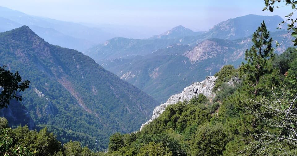
The path climbs through several drainages on switchbacks, moving between shaded oak woodland and open chaparral. Around 2.1 miles it bends at the shoulder of Switchback Peak. A rocky outcrop around mile 2.5 opens a view up the canyon and down toward the creek. The last stretch eases down to the riverbank at the base of the falls.
Marble Falls spills over pale marble into a rocky pool, tucked into the canyon walls. Spring snowmelt usually gives the river more force, though the amount of water changes with the year's snowpack. The rocks are slippery and the water can be dangerous. Stay at the base; the scramble upstream to smaller cascades is not part of the mapped route and is especially risky when the river is high.
For a photo, keep the white marble shelf in the foreground and include a slice of canyon wall for scale. You don't need to climb onto the wet rocks to get the defining view.
Wildlife
 691 sightingsBlack BearMost seen around 6 PMSighting map
 17 sightingsMountain LionMost seen around 6 AMSighting map
 18 sightingsBobcatMost seen around 7 PMSighting map
 24 sightingsCoyoteMost seen around 7 PMSighting map
 15 sightingsGolden EagleMost seen around 11 AMSighting map
 20 sightingsSpotted OwlMost seen around 7 PMSighting map
Sighting maps show where each species has been reported across Sequoia. Wildlife moves, so no sighting is guaranteed.
Keep exploring
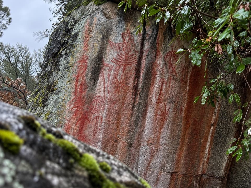 ModeratePotwisha–Hospital Rock Trail4.6 mi · 2.8 hr · 0.4 mi awayA foothill connector to Hospital Rock’s pictographs and mortars.
 ModerateParadise Creek Trail2 mi · 1.5 hr · 2 mi awayA shaded creek walk with waterfalls and pools.
 ModerateMoro Rock Trail0.5 mi · 1 hr · 2.6 mi awayA short, steep stairway to a sweeping Great Western Divide panorama.
 EasyHanging Rock Trail0.3 mi · 30 min · 2.6 mi awayA perched boulder on open granite above the Kaweah Valley.
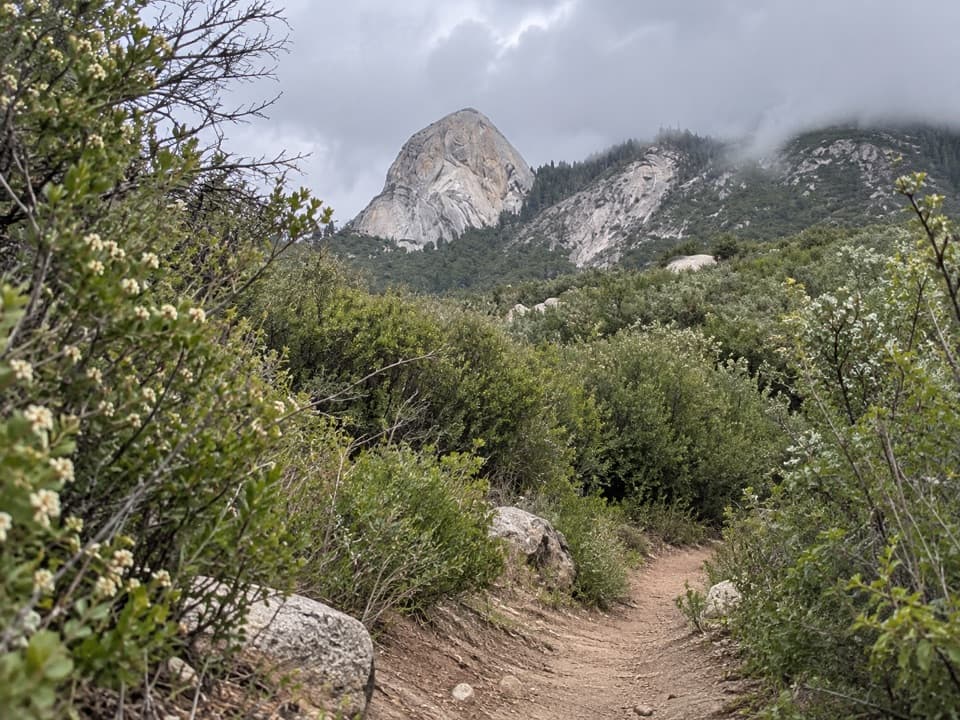 ChallengingMiddle Fork Trail26 mi · 16 hr · 2.7 mi awayA long foothill climb to a remote giant sequoia grove
 ChallengingRedwood Meadow via Middle Fork Trail26 mi · 17 hr · 2.7 mi awayA remote sequoia grove at the end of a long canyon hike.
 EasyBeetle Rock Trail0.2 mi · 15 min · 3.3 mi awayA short approach to westward views and a final granite climb.
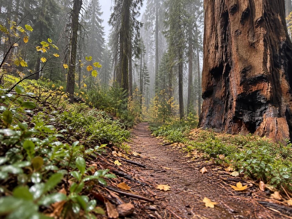 ModerateBear Hill Trail1.7 mi · 1.5 hr · 3.4 mi awayA steep first climb leads through giant sequoias to Hanging Rock.
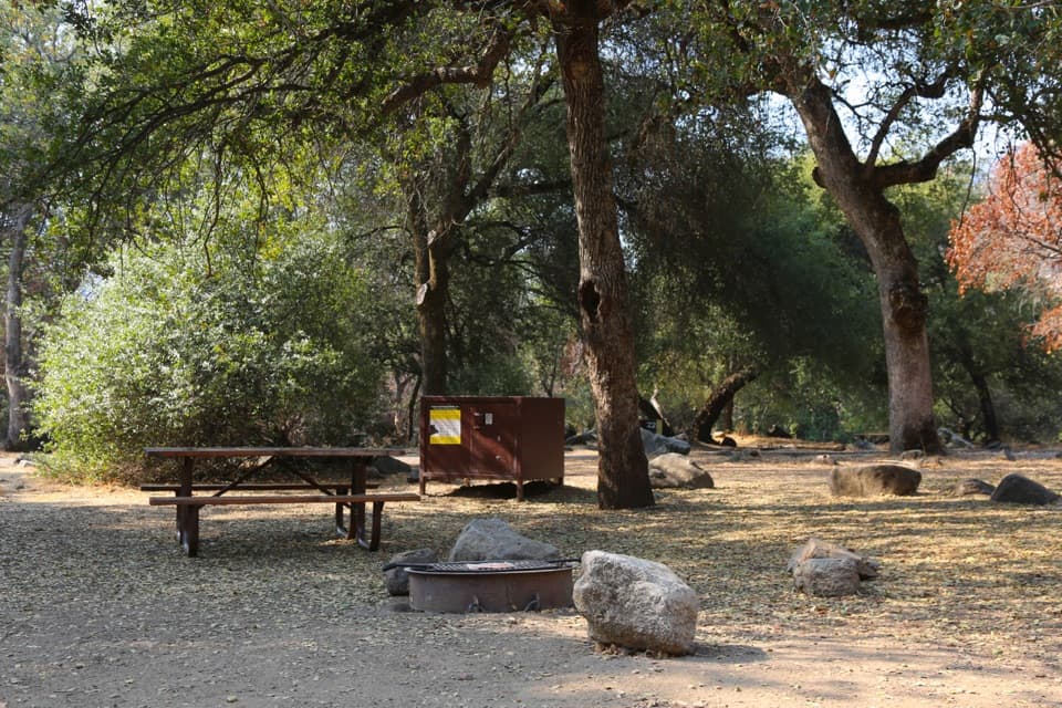 Campground · 0.3 mi awayPotwisha CampgroundA convenient foothills base; the big sequoias are a drive away.
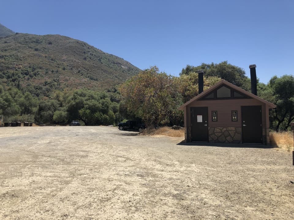 Sight · 0.4 mi awayPotwisha Day Use AreaRiver access and overflow parking for Marble Falls hikers.
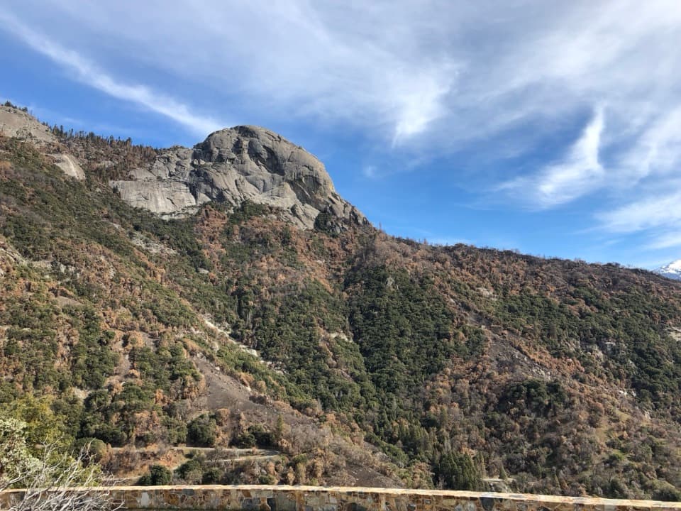 Sight · 1.4 mi awayAmphitheater PointA roadside pause for Moro Rock before the climb into the groves.
 Sight · 1.6 mi awayHospital RockA brief stair climb brings sacred pictographs into view.
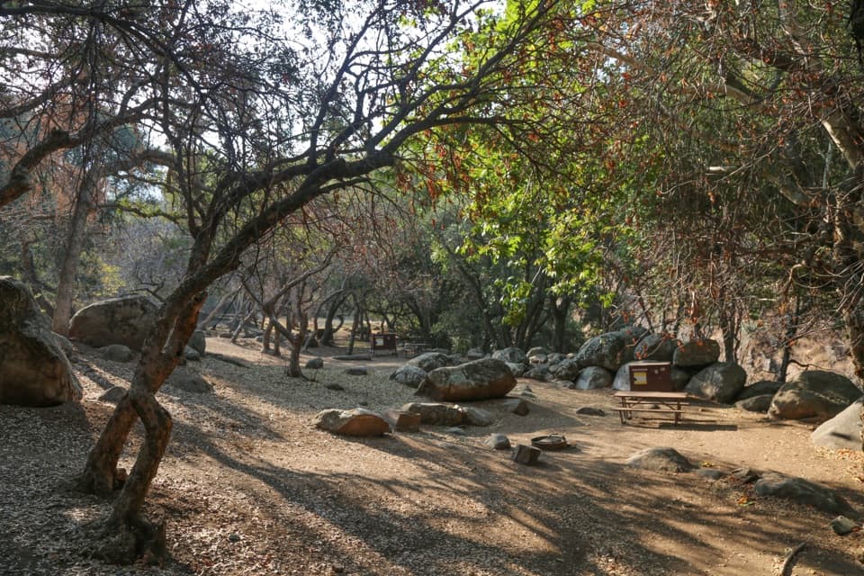 Campground · 2 mi awayBuckeye Flat CampgroundAn oak-shaded tent campground above the Middle Fork Kaweah.
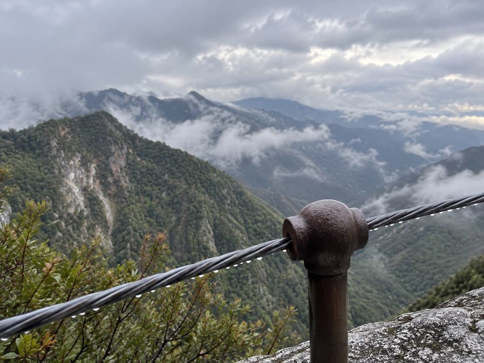 Sight · 2.1 mi awayAdmiration PointA cable-guarded marble ledge above Marble Falls and Deep Canyon.
 Sight · 2.2 mi awayEleven Range OverlookA quick pullout for the long view toward the Coast Range.
 Sight · 2.3 mi awayMarble FallsSeveral cascades reward a long, exposed foothills hike.
Parkwolf’s Sequoia ranking

The audio tour guide for the drive, plus offline maps, trails, and wildlife heatmaps for when the signal drops.




