
Place · 0.5 mi away
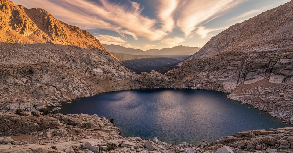
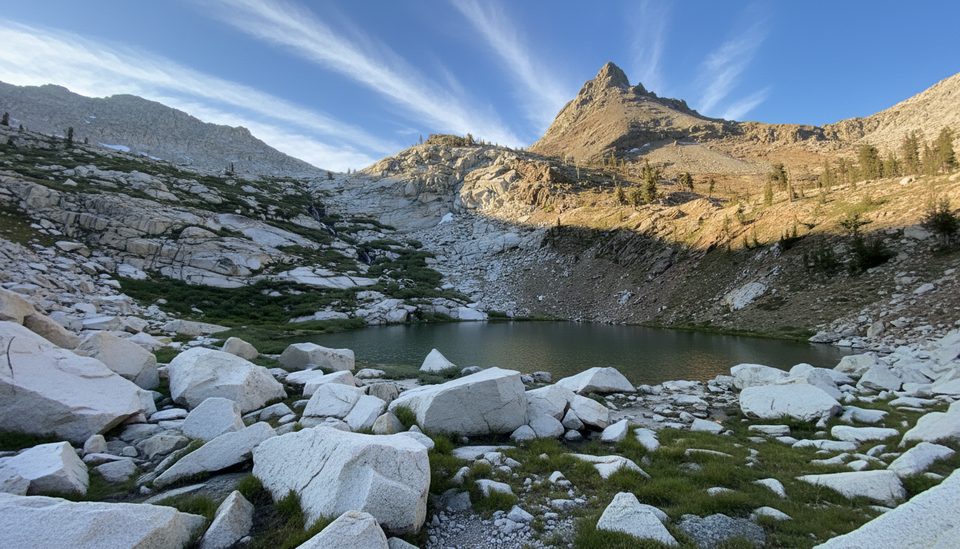
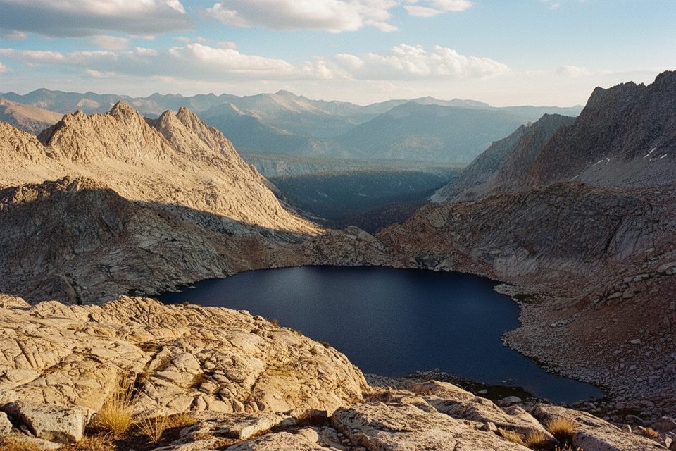
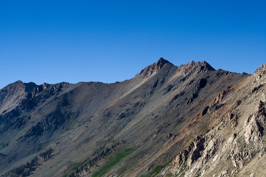
Columbine Lake is a high-alpine stunner tucked on the east side of the Great Western Divide above Mineral King. It sits in a stark, glacially carved granite bowl with intense blue water and jagged spires, making it one of the most dramatic backcountry scenes in the range. The price of admission is steep, loose, and high—exactly why it feels so wild and rewarding.
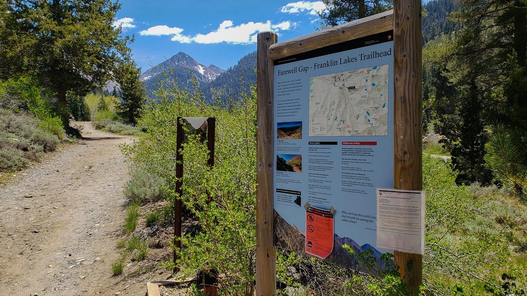
You’ll start from Mineral King at the Sawtooth/Timber Gap trailheads at the end of the famously narrow, winding Mineral King Road. Parking is at the dirt lots near the trailheads; there are pit toilets and trash bins there, plus water and restrooms down-valley at the Mineral King picnic area near the ranger station. Expect slow driving; the final stretch includes unpaved sections.
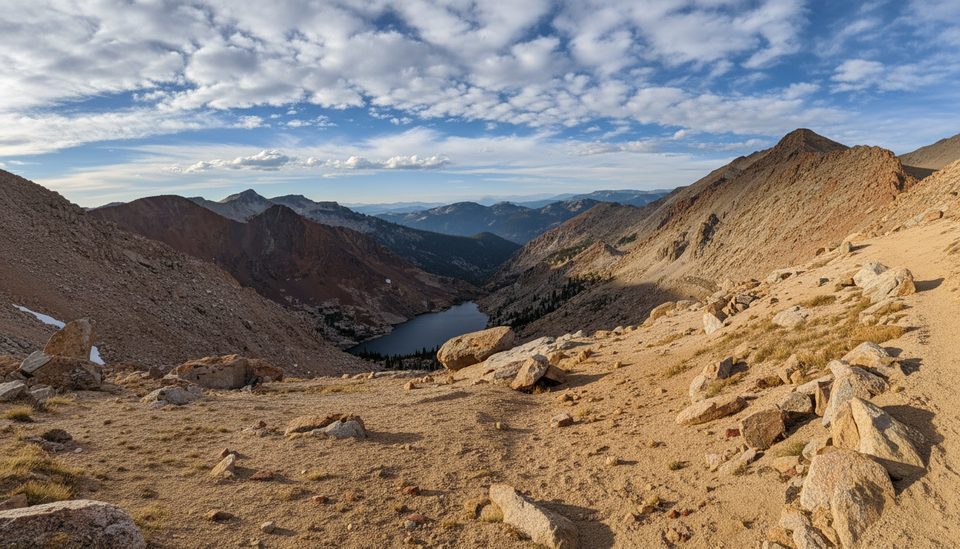
The approach is scenic from the jump: Mineral King Valley, Black Wolf Falls, and Lower Monarch Lake. From Sawtooth Pass (over 11,700 feet), you get sweeping views that can include Mount Whitney on the clearest days. Dropping to Columbine, the water turns a vivid blue set against bleached granite—classic High Sierra drama.
Expect steep, sustained climbs and loose, gravelly footing near Sawtooth Pass. The route can be cairn-dependent with boulder hopping near the lake—download an offline map and follow cairns carefully. Trekking poles help, and acclimatization is wise. Some hikers descend the Glacier Pass variation as a safer line than the fall-line scree, but it’s still steep. Summer reports often note plentiful water along the broader loop, but always treat it.
There are no facilities at the lake—no restrooms, no bear boxes, no designated sites. Campfires are prohibited above 10,000 feet in Mineral King. Use proper food storage; a bear canister is the practical choice above treeline. Overnight trips require wilderness permits; rangers do check. Early season marmots in Mineral King have been known to chew vehicle hoses and wiring; many people protect their cars until mid-summer. Road work on Mineral King Road can cause delays—check current schedules before you go.
Snow coverage varies year to year; recent early July trips have found clear trails, but always verify current conditions. Mosquitoes can be heavy in early to mid-July—bring strong repellent and consider a head net if you’re sensitive.
This corner of the Sierra supports mule deer, black bears, bobcats, and foxes—most activity is lower in the forests you pass through on the way to the high country. Store food properly and give all wildlife plenty of space.
Late July through September is the sweet spot for clear trails and stable conditions. For a day hike, start at dawn to beat heat and give yourself plenty of time for the pass. Midweek visits mean fewer people on the popular Monarch Lakes approach. Photographers will like early light on the cirque; afternoons can be harsh and windy at the pass.
Place · 0.5 mi away
Place · 0.6 mi away
Place · 1 mi away
Place · 1 mi away
Challenging · 2.5 mi away
Challenging · 2.5 mi away
Challenging · 2.6 mi away
Challenging · 2.6 mi away

Parkwolf Tour Guide
