
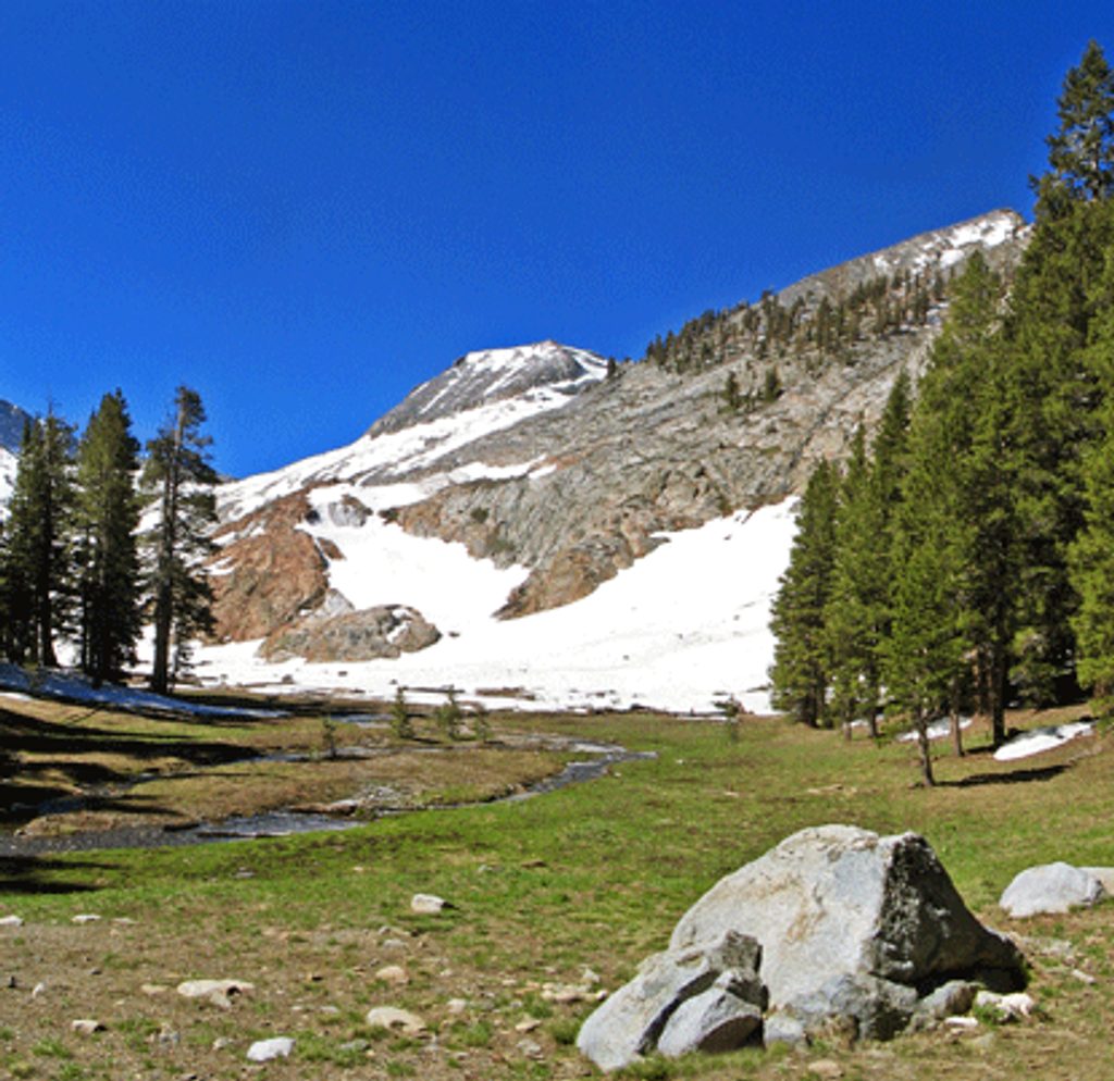
Place · 0.3 mi away
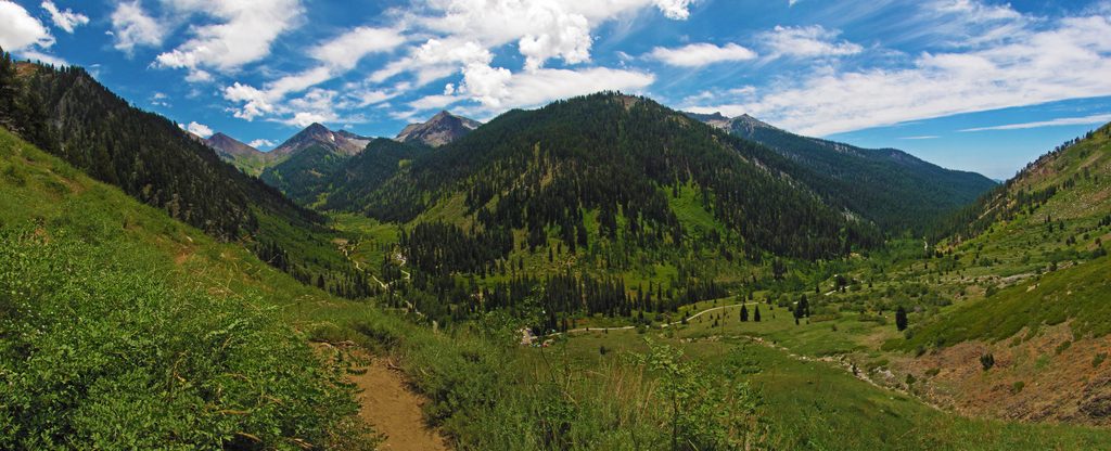
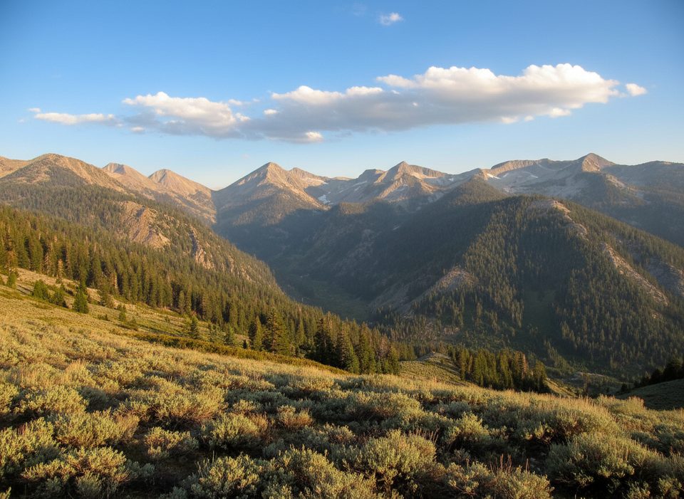
Mineral King is the quiet corner you dream about: a high, glacially carved valley at roughly 7,500 feet with meadows on the floor and granite walls rising toward the Great Western Divide. It’s less visited than the park’s giant‑sequoia hotspots, which is exactly the draw—wildflowers, big Sierra skies, and room to breathe.
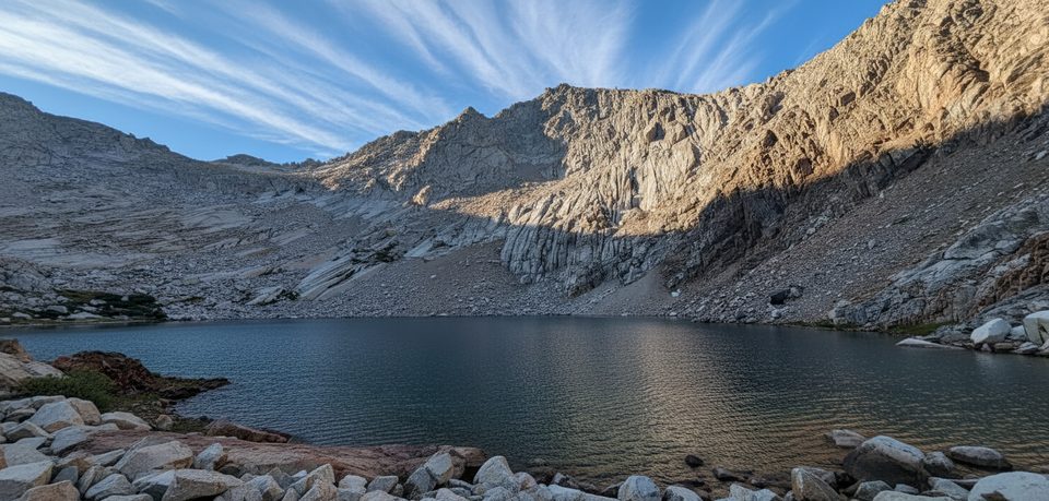
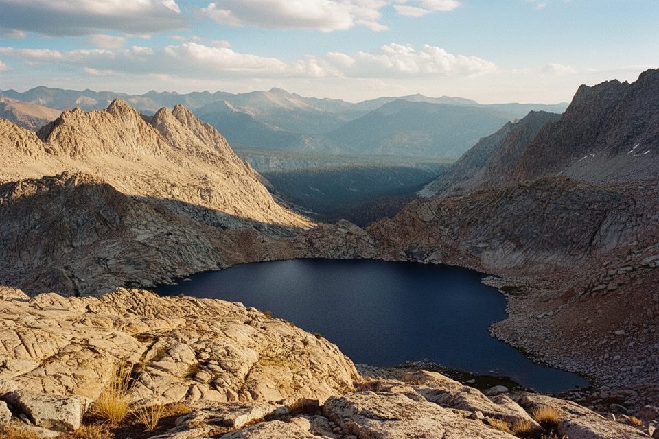
Think classic Sierra: granitic rock sculpted by multiple ice ages into bowls, hanging valleys, waterfalls, and high lakes. The East Fork of the Kaweah River threads through riparian corridors on the valley floor, framed by conifer forests that thin as you climb toward treeline.
People have moved through this valley for a long time—Indigenous communities used these passes seasonally. Silver discoveries in the 1870s brought mining camps and the Mineral King Road. Decades later, a proposed ski resort was shelved; in 1978 the area was folded into the park. You’ll still encounter historic cabins and a lived‑in sense of Sierra history.
If you like your hikes steep and rewarding, you’re in the right place. Favorites include:
You’ll likely see mule deer in the meadows and, notoriously, marmots near trailheads. Early summer is peak marmot mischief—some visitors wrap their car undercarriages to prevent chewed hoses and wires. Standard food storage rules apply throughout.
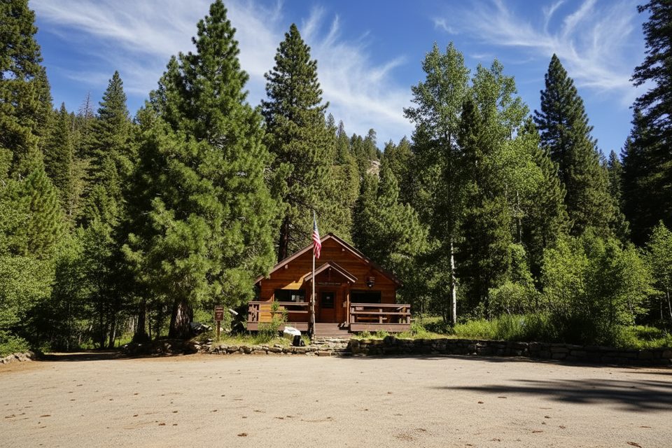
Two NPS campgrounds (Atwell Mill and Cold Springs) keep it simple: bear boxes, picnic tables, fire rings, and pit toilets. A small private resort between them offers a store, restaurant (yes, pies), beer/wine, paid showers, and paid Wi‑Fi. There’s a ranger station for wilderness permits. Don’t count on potable water from taps—bring your own and/or treat natural sources.
The road is part of the adventure: roughly 23–25 miles of narrow, winding mountain driving that can take 60–90 minutes. It closes in winter, so the season is short. Take it slow, use pullouts, and enjoy the views—it’s worth the effort.
Late June through early fall, once the road opens and snow recedes. Weekdays are your friend, especially in August when campgrounds fill. Start hikes early for cooler temps and gentler sun, and bring layers—mountain weather flips fast. Early summer brings mosquitoes; later summer means fewer bugs but potentially lower creek flows.
Hikers and backpackers who prefer granite, elevation, and solitude over amenities. If that’s you, Mineral King delivers in spades.
Place · 0.3 mi away
Place · 0.9 mi away
Place · 1.1 mi away
Place · 1.8 mi away
Challenging · 0.1 mi away
Challenging · 0.1 mi away
Challenging · 0.1 mi away
Challenging · 0.2 mi away

Parkwolf Tour Guide
