
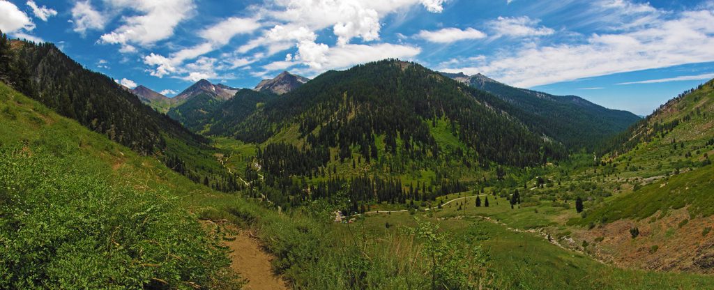
Place · 0.3 mi away
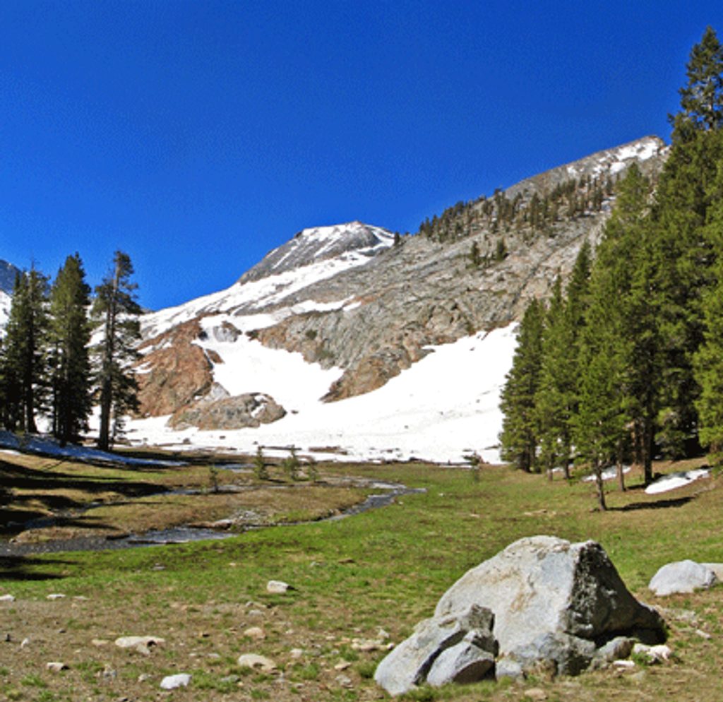
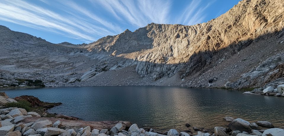
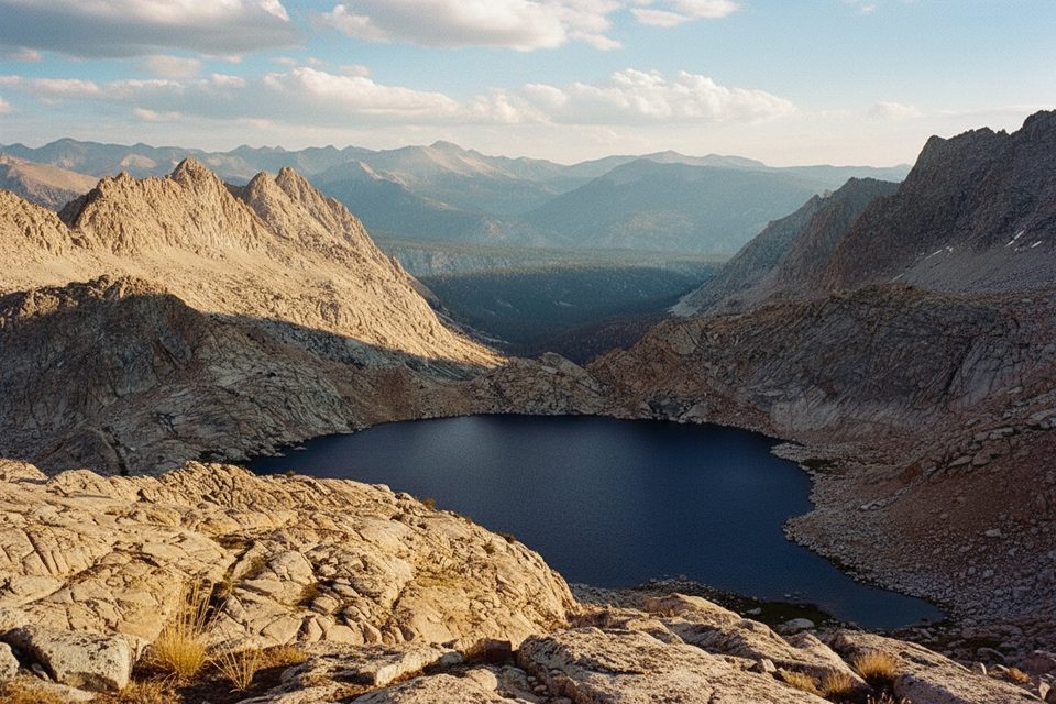
White Chief Canyon is Mineral King’s marble showpiece: a glacially carved hanging valley streaked with bright white marble and darker metamorphic bands. The route climbs from the end of Mineral King Road into White Chief Bowl, an amphitheater of meadows, streams, a small tarn, and weathered mining remnants. It’s gorgeous, a little wild, and much less manicured than the park’s marquee stops.
This canyon is where Mineral King’s granites meet older limestones turned to marble. That marble isn’t just eye candy—it changes how water behaves. White Chief Creek can disappear underground and reemerge lower down, classic karst-like flow. You’ll also pass a small cascade (White Chief Falls) where dark reddish rock meets gleaming white marble. It’s a great place to see the park’s geologic contrasts in a single hike.
Prospectors chased mineral veins here in the late 1800s–early 1900s. You may spot the “doorway” cut of the White Chief Mine, scattered shafts, tailings, and old cabin ruins (including the Crabtree Cabin site near the lower meadows). Do not enter any openings or walk on unstable tailings—these sites are historic, not safe.
Black bears live here—store food properly. In the Mineral King area, marmots are notorious for chewing hoses and wiring under parked cars; use park-recommended vehicle protections. Mosquitoes can be thick in the bowl—bring repellent. Avoid caves, sinkholes, and any mine openings.
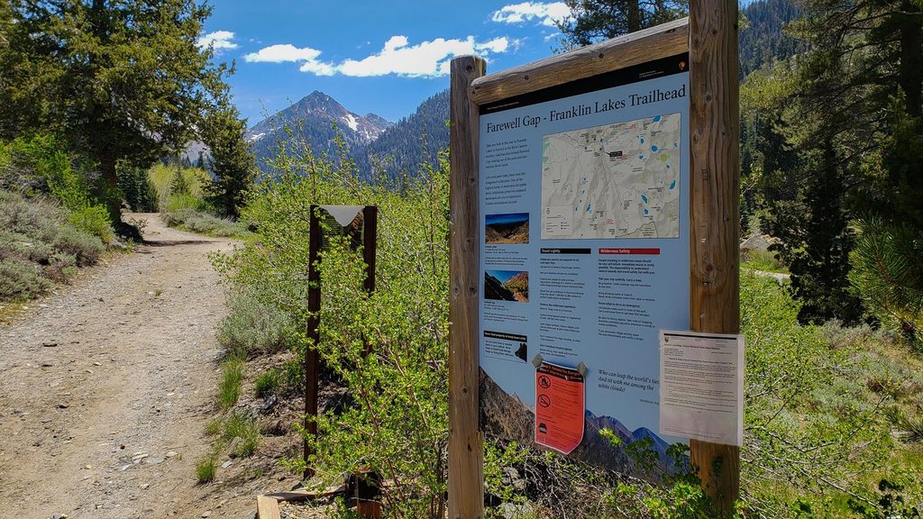
Trail access is from the Eagle–Mosquito/White Chief trailhead area at the end of Mineral King Road. Day hikes need no wilderness permit. Overnight trips require a backcountry permit; there are primitive backcountry sites in the bowl (pack out all waste and treat water). Don’t count on services—this is a remote, slow-going road with limited facilities.
Late spring through early fall, when Mineral King Road is open and snow is off the route, is prime. Start early to secure parking and enjoy cooler temps. For photos, morning and late afternoon light pop off the white marble and meadows; midday is harsher and less flattering.
Carry a topo map or GPS—route-finding can get murky on use trails, especially early season or after storms. Weather changes quickly at elevation; pack layers and extra water, or be prepared to filter from natural sources when flowing.
Place · 0.3 mi away
Place · 0.9 mi away
Place · 1.1 mi away
Place · 1.8 mi away
Challenging · 0 mi away
Challenging · 0.2 mi away
Challenging · 0.2 mi away
Challenging · 0.3 mi away

Parkwolf Tour Guide
