Mineral King Ranger Station

Seasonal hub for Mineral King hikes, permits, and marmot tips
Mineral King Ranger Station, Sequoia National Park
InsideSequoia National Park

Overview

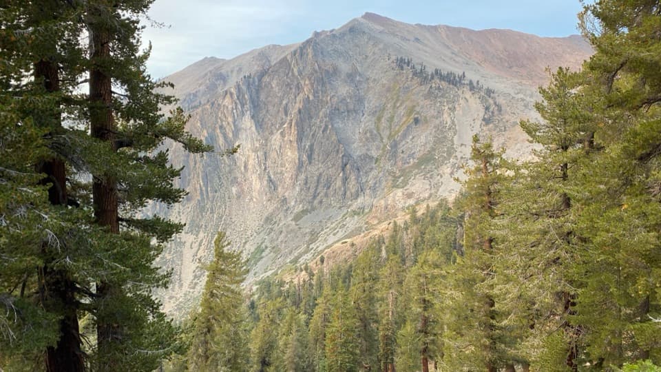
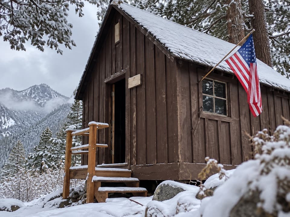
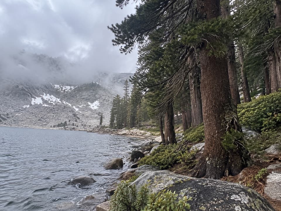
Mineral King Ranger Station is the small, seasonal hub at the end of a long mountain road—your best stop for on‑the‑ground info before diving into Mineral King’s high-country hikes. Expect a remote, less‑visited valley feel with big scenery and very few services; it’s better for those planning to stay and explore than for a quick spin‑through.

What You’ll Find

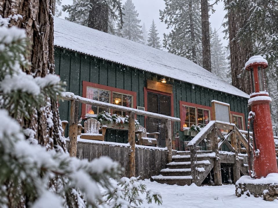
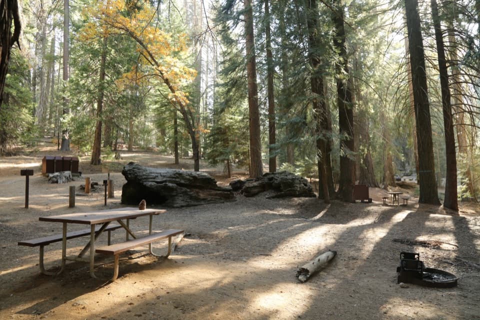
When open (spring–fall), rangers here offer current trail conditions, marmot activity updates, and practical advice. You can pick up maps/books, rent bear canisters, sort wilderness permits, and browse basic exhibits about the area. A water spigot sits at the base of the station’s stairs. Across the way, a food‑storage shed stocks loaner tarps to wrap your vehicle’s undercarriage if you’re parking overnight—marmots are notorious here. There’s a small picnic area nearby, plus an amphitheater and pay phones.

Restrooms, Water & Parking

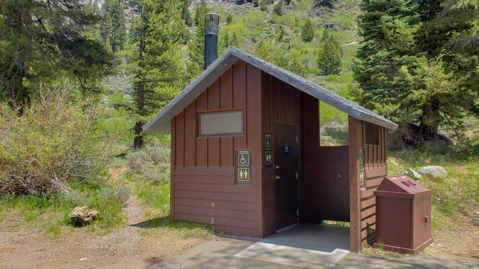
Vault toilets are a short walk from the dirt lot; for a true flush stop, there’s an accessible restroom at Lookout Point roughly 15 miles before you reach the station. Parking is limited: a few level paved spots sit out front, with additional uneven, slightly sloped dirt parking by the picnic area. If you’re leaving a car overnight, use the tarps to deter marmot mischief.

Getting There (Read This Before You Drive)

Mineral King Road is part of the adventure: long, narrow, winding, and rough in places, with few guardrails and occasional steep 15–20% grades. It’s slow going—build in extra time and patience. Construction has affected road conditions in recent seasons, but the area has remained accessible; check current status before you roll. The valley sits around 7,800 feet, so expect cooler temps, strong sun, and quick‑changing weather.

Launchpad for Classic Hikes

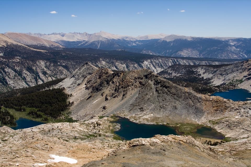
This is the jump‑off point for Mineral King’s big routes—think Sawtooth Pass, Franklin Lakes, Eagle/Monarch, and the White Chief/Crystal basin. If you’re backpacking, confirm permits and bear‑canister requirements here and get the latest on snow, creek crossings, and trail work before you shoulder a pack.

Wildlife & Safety

Bears are active—use proper food storage at all times. Early season marmots can chew car hoses; wrap your undercarriage if you’ll be parked for long. Hydrate well at altitude, carry layers for fast weather shifts, and plan conservative timing for high passes.

Best Time to Visit

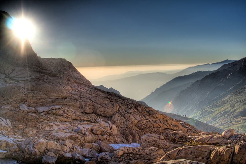
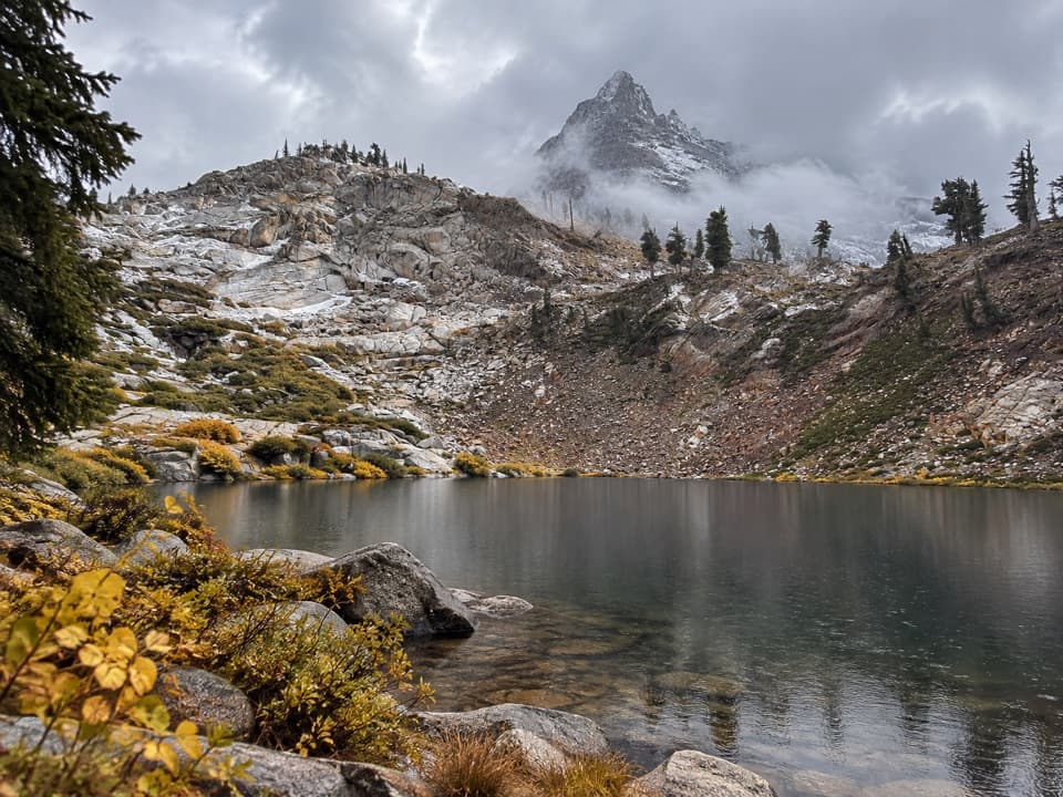
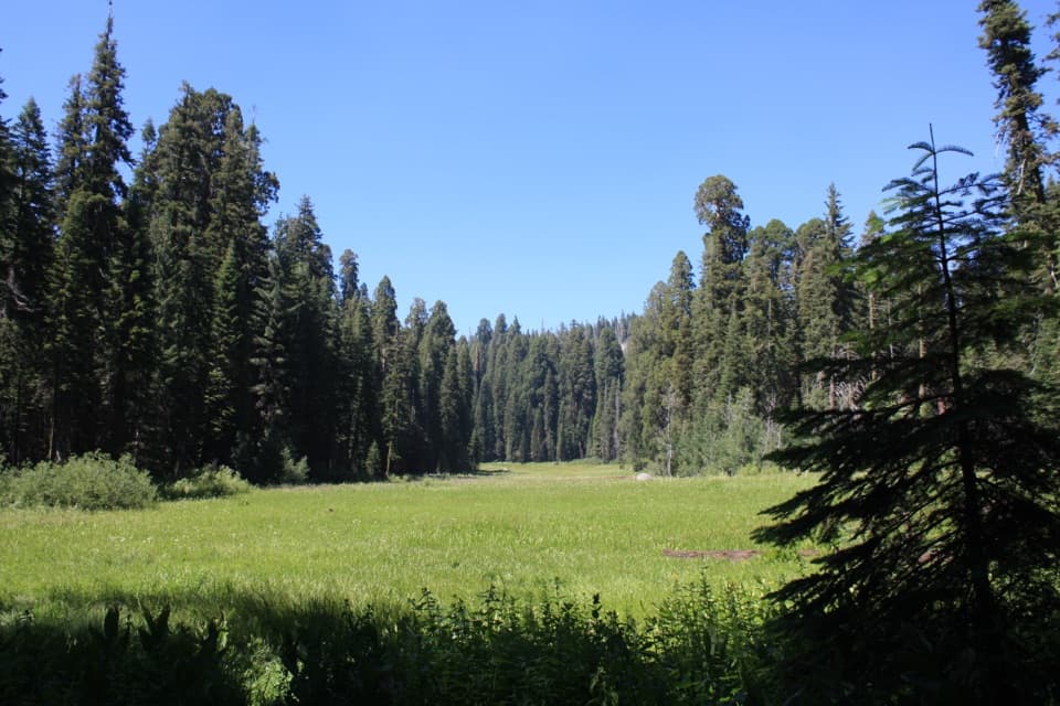
Aim for late spring through fall while the station is staffed. Mornings are best for parking and catching rangers before you hit the trail. Weekdays are quieter; weekends and mid‑summer see the most trailhead pressure. If you’re here for photos, early and late light flatter the surrounding granite walls and meadows.

Pros

  • Wilderness permits, maps/books, and up-to-date trail intel in season
  • Tarps available to protect cars from marmots when parking overnight

Cons

  • Limited parking and basic facilities near the station
  • Long, narrow, winding access road with steep grades—plan extra time

Tips

  • Pad your schedule—the access road is slow, narrow, and tiring.
  • Borrow a tarp at the food‑storage shed if parking overnight to deter marmots.
  • Top off water at the station spigot and use the Lookout Point flush restroom on the way in.
  • Arrive early for parking and to speak with rangers during limited hours.
  • Confirm wilderness permits and bear‑canister needs here before heading to trailheads.
The Parkwolf tour guide sitting on a phone mounted in a car

Parkwolf Tour Guide

Like a tour guide in your car.

Save the places you found around Sequoia, then let Parkwolf guide the drive between them.Download Parkwolf on the App Store