
Place · 0 mi away
Challenging
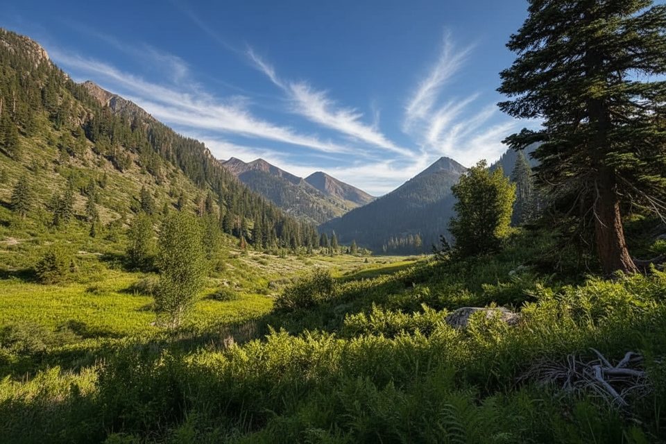
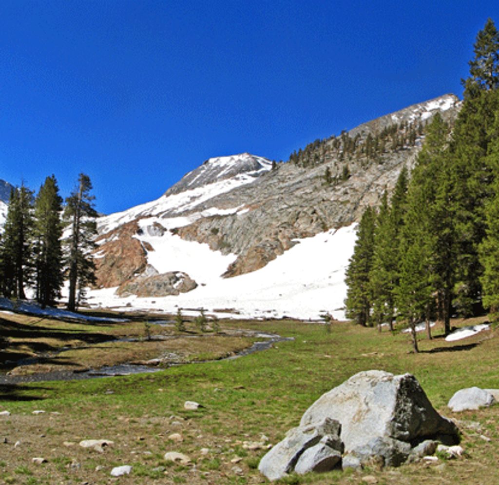
A stout Mineral King classic, the White Chief Trail climbs into a high, rugged basin laced with mining history. Expect about 7.3 miles total (out-and-back) with roughly 2,200+ feet of gain and a typical moving time around 4.5 hours. The payoff: a scenic cirque, relics from the 1870s White Chief Mine, and big canyon views.
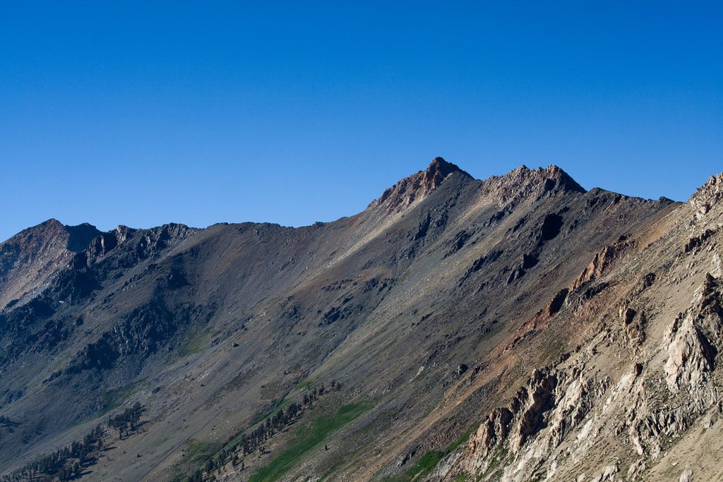
From the end of the Mineral King Road, the path climbs steadily toward White Chief Basin. Early tread is straightforward, but the trail can grow faint higher up. The route ends near several abandoned mine sites—fun to explore around with care. Keep an eye out for multi‑hued canyon walls, meadows that bloom with wildflowers in season, and the dramatic bowl of the basin. History buffs will appreciate the area’s mining legacy; ruins of James Crabtree’s 1870s cabin sit near the Eagle/Mosquito Lakes junction area.
Late spring through early fall is the window here. Snow closes the Mineral King Road in winter, and services are limited in the shoulder seasons. Early mornings bring cooler temps for the climb and the most forgiving light on the canyon walls. Snow patches can linger early season; late summer typically offers the driest footing.
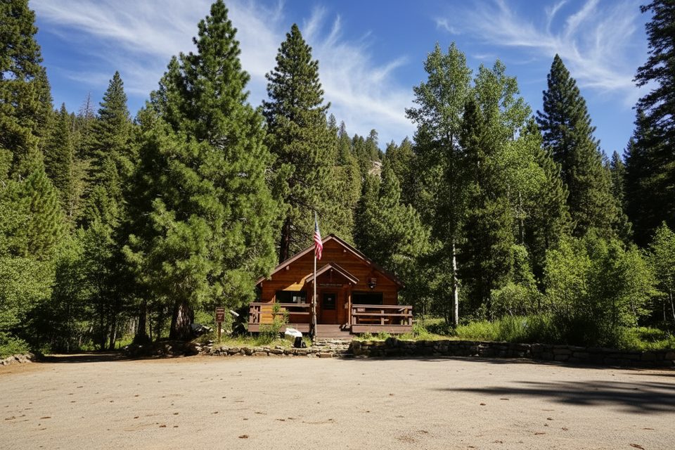
Trailhead parking is at the end of Mineral King Road (the same end‑of‑road area used for Eagle and Mosquito Lakes). Day hikes don’t require a wilderness permit. If you’re backpacking, overnight wilderness permits are issued at the Mineral King Ranger Station; the first legal campsite along this route is the White Chief Bowl, roughly 2.5 miles in.
Plan for limited water until near the basin—carry plenty and bring a filter for the upper sources. The grade is steep in places, and higher up the tread can be faint; trekking poles help on the climb and descent. Altitude tops out near 9,600–10,000 feet, so pace yourself. Black bears live here; store food properly. Marmots at Mineral King are notorious for chewing vehicle hoses and wires—take vehicle precautions at the trailhead. Snow can linger into early season.
The standard route does not reach White Chief Lake; reaching it typically involves off‑trail, cross‑country travel from the basin. If you’re chasing more obvious lake scenery on a maintained path, consider nearby Eagle Lake or the Monarch Lakes/Sawtooth Pass area; White Chief shines more for its rugged basin and mining history than for shoreline time.
Park at the end of Mineral King Road (same end‑of‑road lot used for Eagle/Mosquito Lakes). Take marmot precautions for vehicles.
Steep grades, faint sections near the basin, limited water until the end, potential early‑season snow, high elevation, and marmots that can chew vehicle hoses/wires at the trailhead.
Place · 0 mi away
Place · 0.3 mi away
Place · 0.9 mi away
Place · 1.1 mi away
Challenging · 0.2 mi away
Challenging · 0.2 mi away
Challenging · 0.3 mi away
Challenging · 0.3 mi away

Parkwolf Tour Guide
