Parking
Park at Roads End in Cedar Grove; begin on the Copper Creek Trail from the Roads End access.
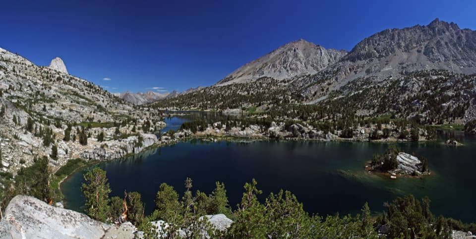
Sequoia National Park, CA
A 155-mile wilderness loop through high lakes and towering passes.
Overview
Map & elevation
Plan your hike

The highest, rockiest slopes around here are a summer buffet for grizzly bears.
Sequoia Tour Guide
Parkwolf is a GPS audio tour guide for Sequoia National Park. As you drive, it chimes in with what’s ahead: hidden gems, upcoming stops, history, geology, and wildlife, right through your car’s speakers.
See the Sequoia audio tour“…The kids and my husband and I all agree that the narration really added to our experience driving through the parks. We learned so much about the history and the flora & fauna.”


Trail guide
The Big SEKI Loop is a 154.8-mile clockwise backpacking circuit from Roads End in Kings Canyon through the high country of both Kings Canyon and Sequoia, then back to its starting access. This map follows the standard line over Kaweah Gap and Elizabeth Pass; the shorter Colby Pass route is a separate, roughly 130-mile variant. The loop links existing trails rather than following one purpose-built tread. About 58 miles overlap the John Muir Trail and about 30 miles the High Sierra Trail. It was designed in 2013 as an on-trail alternative to the John Muir Trail.
Plan on a serious wilderness trip, not a long day hike. The route designers estimate 7 to 12 days at roughly 13 to 22 miles a day, with at least 40,000 feet of climbing. Give yourself a schedule that has room for altitude, river crossings and slower miles instead of treating the distance as a daily target.
The clockwise route starts on Copper Creek Trail at Roads End and climbs from roughly 5,000 feet to Granite Pass at 10,673 feet in 11.2 miles. This is a hot, steep start, so an early departure is useful. After Granite Pass, the line drops through Simpson Meadow and follows the Middle Fork Kings corridor toward the John Muir Trail. Palisade Creek is unbridged and can be difficult to cross in early-season high water.
The route shares about 58 miles with the John Muir Trail and crosses Mather, Pinchot, Glen and Forester passes. Rae Lakes comes around mile 66; it is worth taking a real break in the basin. For a photo, keep one of the small islands in front of Painted Lady and the granite skyline behind it, so the frame shows both detail and scale. Forester Pass, around mile 80, is the loop's highest named point at about 13,180 feet. Snow can linger on these high passes into June, and altitude makes the pace slower than the mileage suggests.
Near Wallace Creek, the standard route leaves the John Muir Trail and follows the Kern River corridor and the High Sierra Trail through the Moraine Lake junctions, then climbs to Kaweah Gap. It leaves the High Sierra Trail at the Elizabeth Pass junction. The long western arc is the route in this row; the Colby Pass and Cloud Canyon shortcut is not part of this line.
From Elizabeth Pass, the route descends Deadman Canyon to Roaring River Ranger Station, crosses Avalanche Pass, then returns by Bubbs Creek and Paradise Valley to Roads End. Near the end, the South Fork Kings River crossing above Paradise Valley has no bridge. The National Park Service warns that crossings can be extremely hazardous; check the current trail report and be ready to turn back if conditions are unsafe.
Wildlife
 691 sightingsBlack BearMost seen around 6 PMSighting map
 17 sightingsMountain LionMost seen around 6 AMSighting map
 18 sightingsBobcatMost seen around 7 PMSighting map
 24 sightingsCoyoteMost seen around 7 PMSighting map
 15 sightingsGolden EagleMost seen around 11 AMSighting map
 20 sightingsSpotted OwlMost seen around 7 PMSighting map
Sighting maps show where each species has been reported across Sequoia. Wildlife moves, so no sighting is guaranteed.
Keep exploring
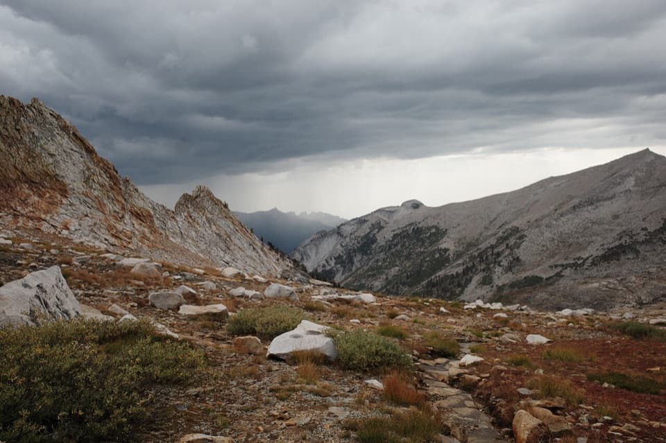 ChallengingElizabeth Pass Trail14.9 mi · 10 hr · 5.8 mi awayA high, loose pass links two remote Sierra trail systems.
 ModerateJ.O. Pass Trail2.5 mi · 2 hr · 12.2 mi awayA rocky wilderness pass links Sequoia to Jennie Lakes.
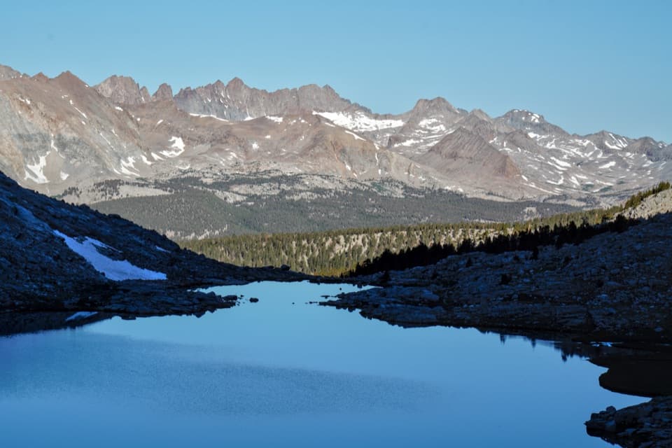 ChallengingJohn Muir Trail: Forester Pass to Mount Whitney21 mi · 20 hr · 13.6 mi awayFollow the JMT from Forester Pass across the high Sierra to Whitney.
 ChallengingLake South America Trail5 mi · 4.5 hr · 14.5 mi awayA remote high-country traverse above Lake South America.
Parkwolf’s Sequoia ranking

The audio tour guide for the drive, plus offline maps, trails, and wildlife heatmaps for when the signal drops.





