Parking
Start at the General Sherman Tree Main Parking Area off Wolverton Road. When snow closes that lot, access shifts to the Sherman Tree Accessible Parking Area on Generals Highway; it serves a separate, shorter route.

#2 of 99 trails in Sequoia
Sequoia National Park, CA
A stair-stepped descent reaches the world’s largest tree by volume.
Overview
Map & elevation
Plan your hike

The highest, rockiest slopes around here are a summer buffet for grizzly bears.
Sequoia Tour Guide
Parkwolf is a GPS audio tour guide for Sequoia National Park. As you drive, it chimes in with what’s ahead: hidden gems, upcoming stops, history, geology, and wildlife, right through your car’s speakers.
See the Sequoia audio tourRecorded for this trailhead
General Sherman Tree and Congress Trail“You're coming up on the General Sherman Tree area, home to the world's largest tree by trunk volume.”
Plays as you drive up to this trailhead in the Parkwolf Sequoia Tour Guide.
More stories near here in the app
“…The kids and my husband and I all agree that the narration really added to our experience driving through the parks. We learned so much about the history and the flora & fauna.”


Trail guide
General Sherman Tree Trail is a 1-mile out-and-back from the main Sherman Tree parking area off Wolverton Road. The half-mile path drops on paved, stair-stepped tread through Giant Forest to General Sherman Tree; the return follows the same route uphill. Allow about 45 minutes for the walk and time by the tree. It is short, but it is no flat stroll: you start around 7,000 feet, and the stairs feel different on the climb back.
If steep stairs are not a fit, the separate accessible trail is about 500 feet from the Sherman Tree Accessible Parking Area on Generals Highway. In summer, a shuttle connects that trailhead with the accessible spaces in the main lot; in winter, parking for the accessible route is at the lower lot. That is a different approach from this trail.
The main path descends through other giant sequoias, with paved sections, stairs and benches along the way. As you lose height, you get a top-to-bottom view of the Sherman Tree and a glimpse into the grove canopy. At the bottom, look for the cut sequoia cross-section and the exhibits. Stay on the paved trail behind the fence around the tree; its roots are shallow and easily damaged.
General Sherman stands about 275 feet tall and holds roughly 52,508 cubic feet of wood. The park estimates the trunk weighs nearly 1,400 tons, which is why this is the world’s largest tree by volume. Standing beside it makes the numbers hard to picture; the cross-section on the trail gives you another way to see the size.
Giant sequoias have thick bark that helps them survive moderate fires, but they are not fireproof. During the September 2021 KNP Complex Fire, crews wrapped the Sherman Tree’s vulnerable fire scars to reduce the chance of fire entering the trunk.
Plan on climbing back up the same stair-stepped route. When the free park shuttle is operating, usually from late May into early September, you can continue to the lower Generals Highway stop by the restrooms and ride back to the main lot; that adds a little walking but saves the uphill stretch. The main lot can close after snow accumulates, and winter access then shifts to the lower accessible lot. Pets are not allowed on park trails.
Wildlife
 691 sightingsBlack BearMost seen around 6 PMSighting map
 17 sightingsMountain LionMost seen around 6 AMSighting map
 18 sightingsBobcatMost seen around 7 PMSighting map
 24 sightingsCoyoteMost seen around 7 PMSighting map
 15 sightingsGolden EagleMost seen around 11 AMSighting map
 20 sightingsSpotted OwlMost seen around 7 PMSighting map
Sighting maps show where each species has been reported across Sequoia. Wildlife moves, so no sighting is guaranteed.
Keep exploring
 EasyCongress Trail2.7 mi · 2 hr · At the trailheadPaved 2.7-mile loop past President Tree, House and Senate groves.
 ModerateRimrock Trail1.2 mi · 45 min · 1 mi awayA narrow hillside path past Lincoln Tree and fallen sequoias.
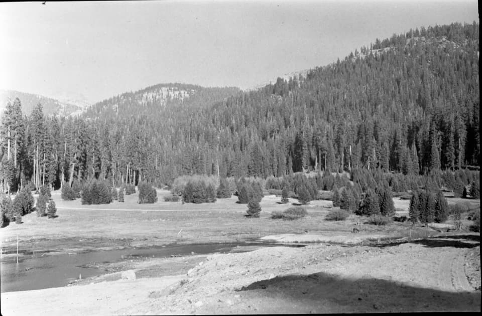 EasyWolverton Meadow Loop2.8 mi · 1.5 hr · 1.2 mi awayAn easy wetland loop for streams, seasonal flowers and wildlife.
 EasyWashington Tree Trail1 mi · 45 min · 1.2 mi awayA short forest walk to a sequoia with a turbulent past.
 ChallengingLakes Trail to Pear Lake12.8 mi · 7.5 hr · 1.2 mi awayFrom forest switchbacks to the glacial bowl around Pear Lake.
 ChallengingAlta Peak Trail13.6 mi · 9 hr · 1.2 mi awayA full-day summit climb with a hands-on finish above the tree line.
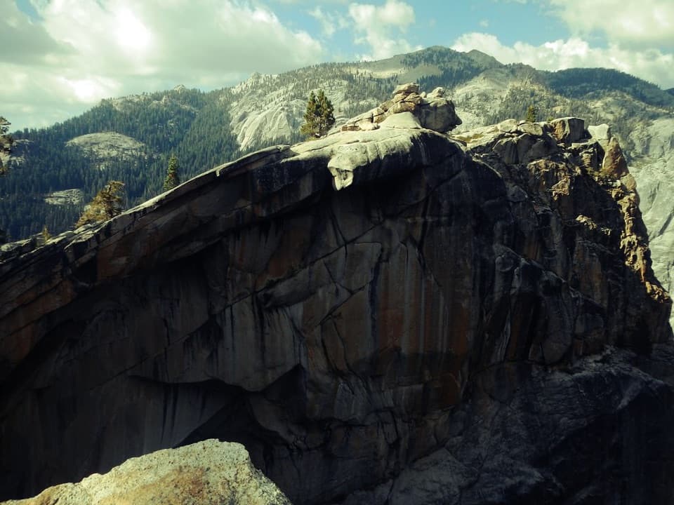 ChallengingWatchtower Trail7.7 mi · 6 hr · 1.2 mi awayA long climb to the ridge above Tokopah Falls.
 ModeratePanther Gap Trail5.5 mi · 3 hr · 1.2 mi awayA steady climb to Great Western Divide views at a high passSight · 0.2 mi awayGeneral Sherman TreeSee the world's largest tree by trunk volume up close
 Sight · 0.8 mi awayPresident TreeOne of the world's largest sequoias, reached on Congress Trail.
 Sight · 0.9 mi awayThe SenateSeveral giant sequoias gather along the Congress Trail.
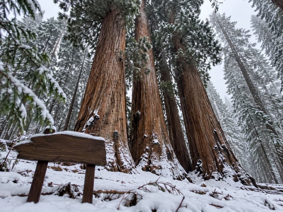 Sight · 0.9 mi awayThe HouseNamed for Congress, ringed by towering sequoia trunks.
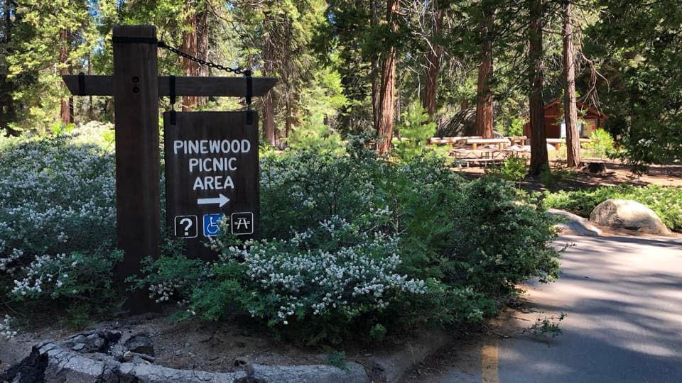 Picnic area · 1.2 mi awayPinewood Picnic AreaA shaded lunch break between Giant Forest and Lodgepole.
 Picnic area · 1.2 mi awayWolverton Picnic and Snowplay AreaA meadow picnic spot with winter snowplay when conditions allow.
 Sight · 1.5 mi awaySunset RockA short forest walk to open granite above the Kaweah canyon.
 Picnic area · 1.6 mi awayLodgepole Picnic AreaA shaded riverside picnic with Lodgepole's village services close by.
Parkwolf’s Sequoia ranking

The audio tour guide for the drive, plus offline maps, trails, and wildlife heatmaps for when the signal drops.



