Place
Challenging

If you’re chasing big Sierra atmosphere without the crowds, this is your battering ram into the high country. The Shepherd Pass Trail grinds relentlessly up from the east side, climbing above treeline into a stark, windy alpine world. It’s remote, exposed, and absolutely gorgeous if you like your scenery raw.
Plan for a very long day or, better, a serious backpack. The approach uses roughly 14 miles one way to reach the high country and connect with major corridors like the Pacific Crest Trail and the Upper Kern–Tyndall Cutoff, passing small backcountry lakes along the way. As an out-and-back to the pass/high country, that’s about 28.0 miles total. Expect steep, sustained climbing and long stretches fully exposed to the elements once you’re above the trees.
There’s also a commonly done extended itinerary that builds on this approach (a loop via the high country) that’s listed at 37.6 miles total with around 10,390 feet of gain and an estimated 21 hours 43 minutes of moving time. That should give you a sense of how committing this terrain is, even for strong parties.
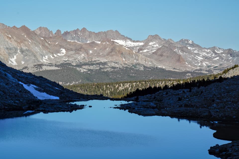
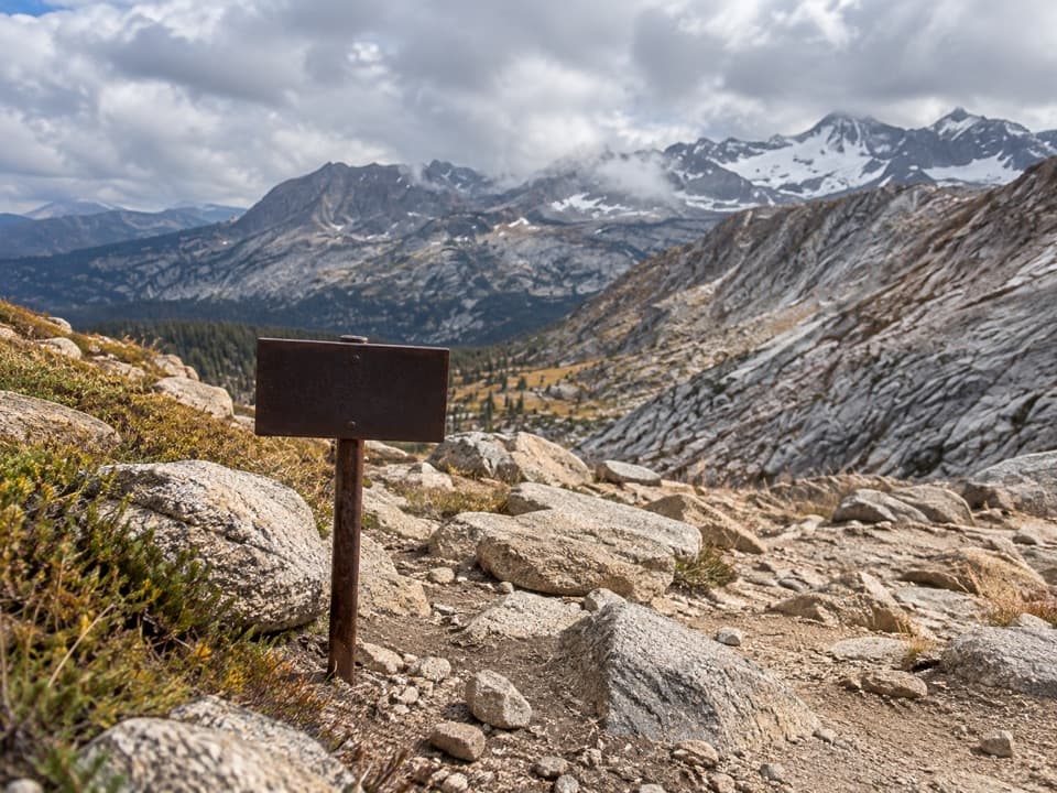
This route is all about big alpine drama: wide-open views, wind-scoured ridges, and a string of quiet backcountry lakes tucked into the high basins. Once you’re above treeline, the scale snaps into focus—you’re in the heart of the Sierra’s high country, with expansive vistas and that crisp, high-elevation feel.
It’s a suffer-fest in the best way—remote, physical, and rewarding if you have the legs and the systems. Come prepared for self-sufficiency: long water carries can happen depending on conditions, and you’re a long way from help. If you’re unsure, pick a shorter objective; this one does not mellow out.
You need to secure the correct wilderness permits before you go. Pack real layers for rapid weather shifts above treeline, and carry the essentials for a remote trip. This approach is far from services, so build in extra margin for time, food, and energy.
Because so much of this route is exposed, start early to beat both sun and afternoon winds. Clear, stable weather windows make this hike far more pleasant; if conditions look volatile, don’t force it. Photography is better in low-angle light—dawn departures pay off twice here.
Remote eastside access; no services at or near the trailhead—arrive self-sufficient and don’t expect amenities.
This is a remote, exposed backcountry push with significant elevation gain and long carries. Secure the correct permits, carry essential supplies, and use extreme caution around wildlife. The extended itinerary that uses this trail is listed at 37.6 miles with ~10,390 ft of gain and ~21 h 43 m—attempt only if appropriately prepared. Source: [alltrails.com](https://www.alltrails.com/trail/us/california/shepherd-pass-trail-to-lake-south-america-loop).