Parking
No road-accessible parking or developed trailhead serves this route. It begins at its junction with the John Muir Trail in the high country, reached by a long backcountry approach.

Sequoia National Park, CA
A faint high-country spur for backpackers already on the John Muir Trail.
Overview
Map & elevation
Plan your hike

The highest, rockiest slopes around here are a summer buffet for grizzly bears.
Sequoia Tour Guide
Parkwolf is a GPS audio tour guide for Sequoia National Park. As you drive, it chimes in with what’s ahead: hidden gems, upcoming stops, history, geology, and wildlife, right through your car’s speakers.
See the Sequoia audio tour“…The kids and my husband and I all agree that the narration really added to our experience driving through the parks. We learned so much about the history and the flora & fauna.”


Trail guide
Wright Creek Trail is a 5.89-mile out-and-back from its mapped junction with the John Muir Trail into high alpine terrain in the Wright Creek basin. The named line is 2.94 miles one way; turn around at its mapped end and return on the same route. There is no verified named destination at the far end, so think of this as a remote basin side route, not a summit or lake hike.
The mapped corridor climbs about 620 feet to roughly 11,600 feet. Allow around 4½ hours for the spur itself; that excludes the long backcountry approach to the junction. The mapped route is marked as having very poor visibility, with a note that it has never been maintained. I could not verify today’s tread continuity, crossings or exact endpoint. Expect difficult route-finding rather than a clear, maintained trail, and check current park guidance before leaving the established JMT.
There is no road-side trailhead or parking lot for this line. Its start is the JMT junction in the high country, reached as part of a substantial backcountry trip; it is not a day hike from a road. Overnight wilderness stays require a permit, and dogs are prohibited on park trails.
Wildlife
 691 sightingsBlack BearMost seen around 6 PMSighting map
 17 sightingsMountain LionMost seen around 6 AMSighting map
 18 sightingsBobcatMost seen around 7 PMSighting map
 24 sightingsCoyoteMost seen around 7 PMSighting map
 15 sightingsGolden EagleMost seen around 11 AMSighting map
 20 sightingsSpotted OwlMost seen around 7 PMSighting map
Sighting maps show where each species has been reported across Sequoia. Wildlife moves, so no sighting is guaranteed.
Keep exploring
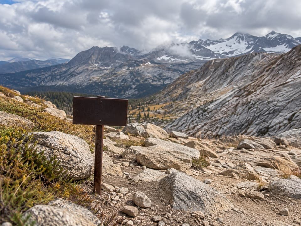 ChallengingColby Pass Trail18.9 mi · 20 hr · 3.1 mi awayA high, remote pass links the Kern-Kaweah drainage to Cloud Canyon.
 ChallengingLake South America Trail5 mi · 4.5 hr · 3.1 mi awayA remote high-country traverse above Lake South America.
 ChallengingCrabtree Lakes Trail7.1 mi · 5.5 hr · 4.1 mi awayA remote side trip to two alpine lakes
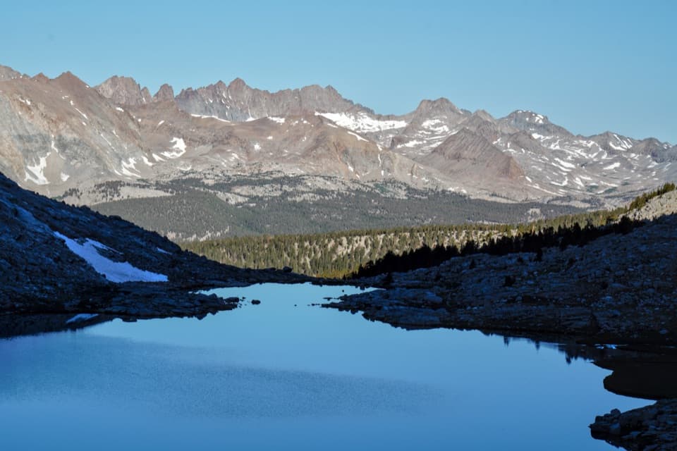 ChallengingJohn Muir Trail: Forester Pass to Mount Whitney21 mi · 20 hr · 5.9 mi awayFollow the JMT from Forester Pass across the high Sierra to Whitney.
 ChallengingMount Whitney Trail22 mi · 14 hr · 7.6 mi awayA 22-mile alpine climb to the highest summit in the lower 48.
 ChallengingRock Creek Trail4.7 mi · 4 hr · 8.5 mi awayFollow Rock Creek's meadows to a lake and a steep finish.
 ChallengingMoraine Lake Trail8.3 mi · 6 hr · 9.2 mi awayA high-country climb to a lake beneath the Great Western Divide.
 ChallengingShepherd Pass Trail14 mi · 16 hr · 9.7 mi awayA 14-mile crossing over a 12,000-foot pass to the JMT.
Parkwolf’s Sequoia ranking

The audio tour guide for the drive, plus offline maps, trails, and wildlife heatmaps for when the signal drops.





